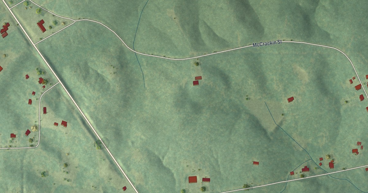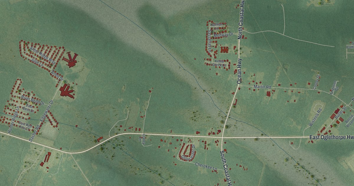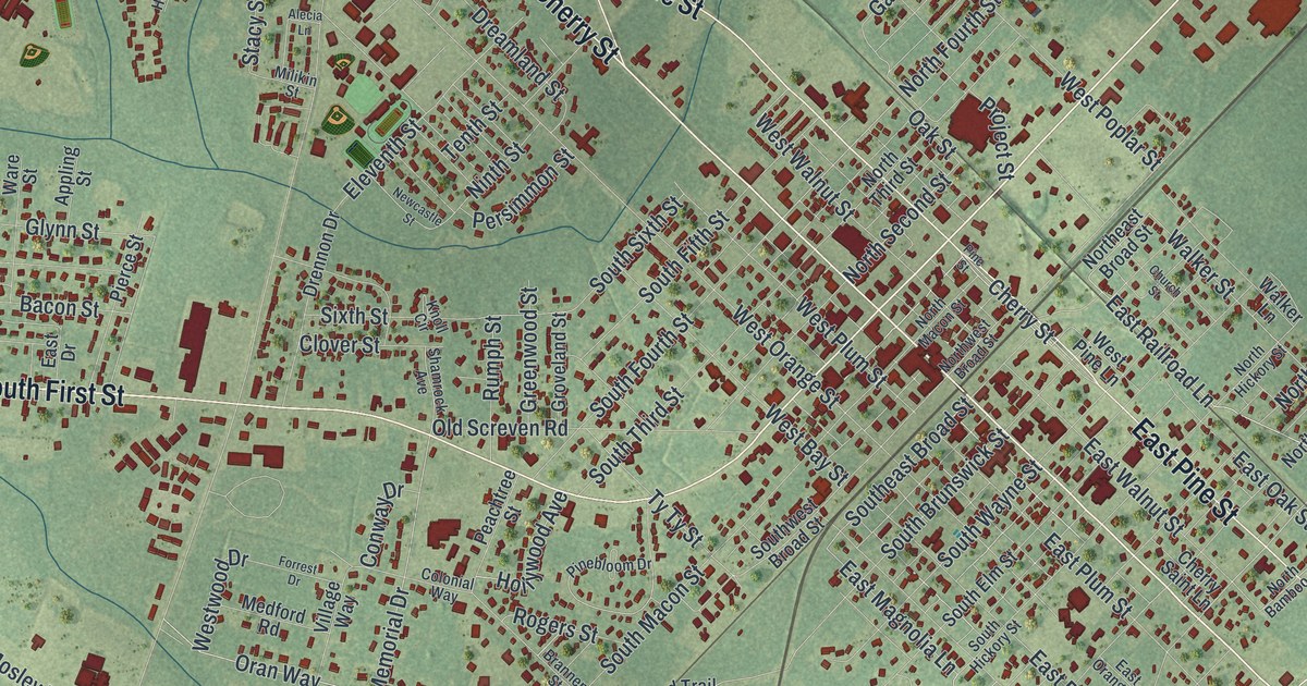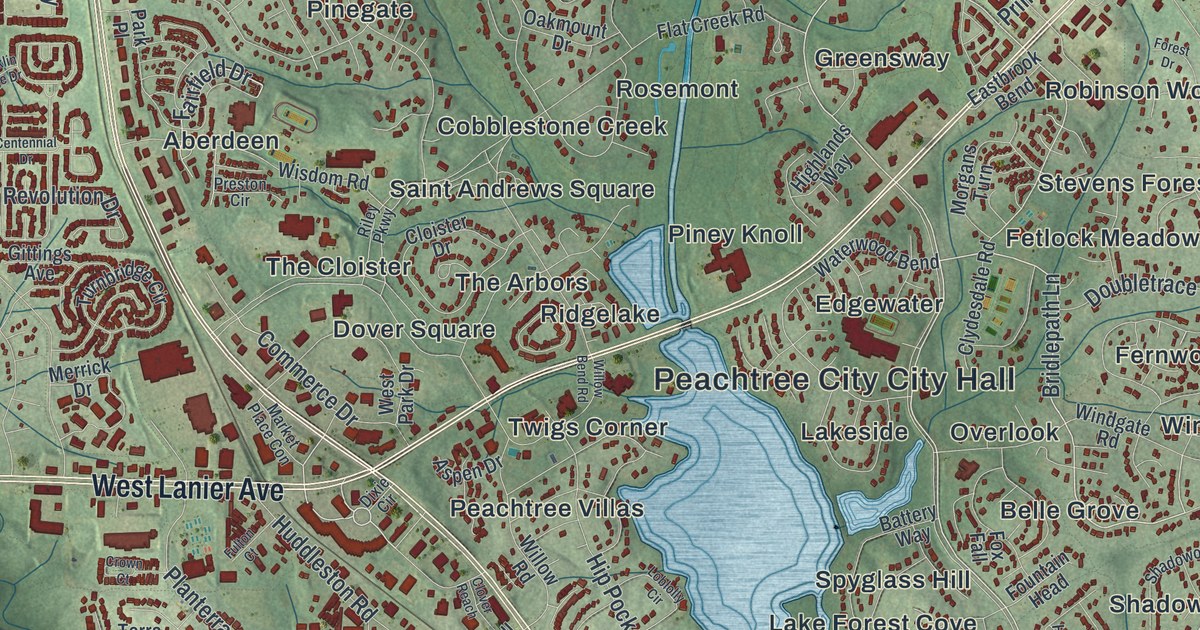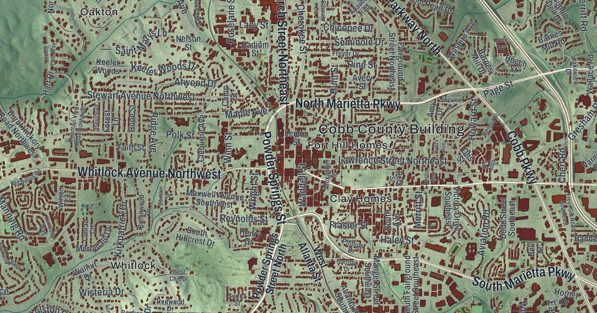
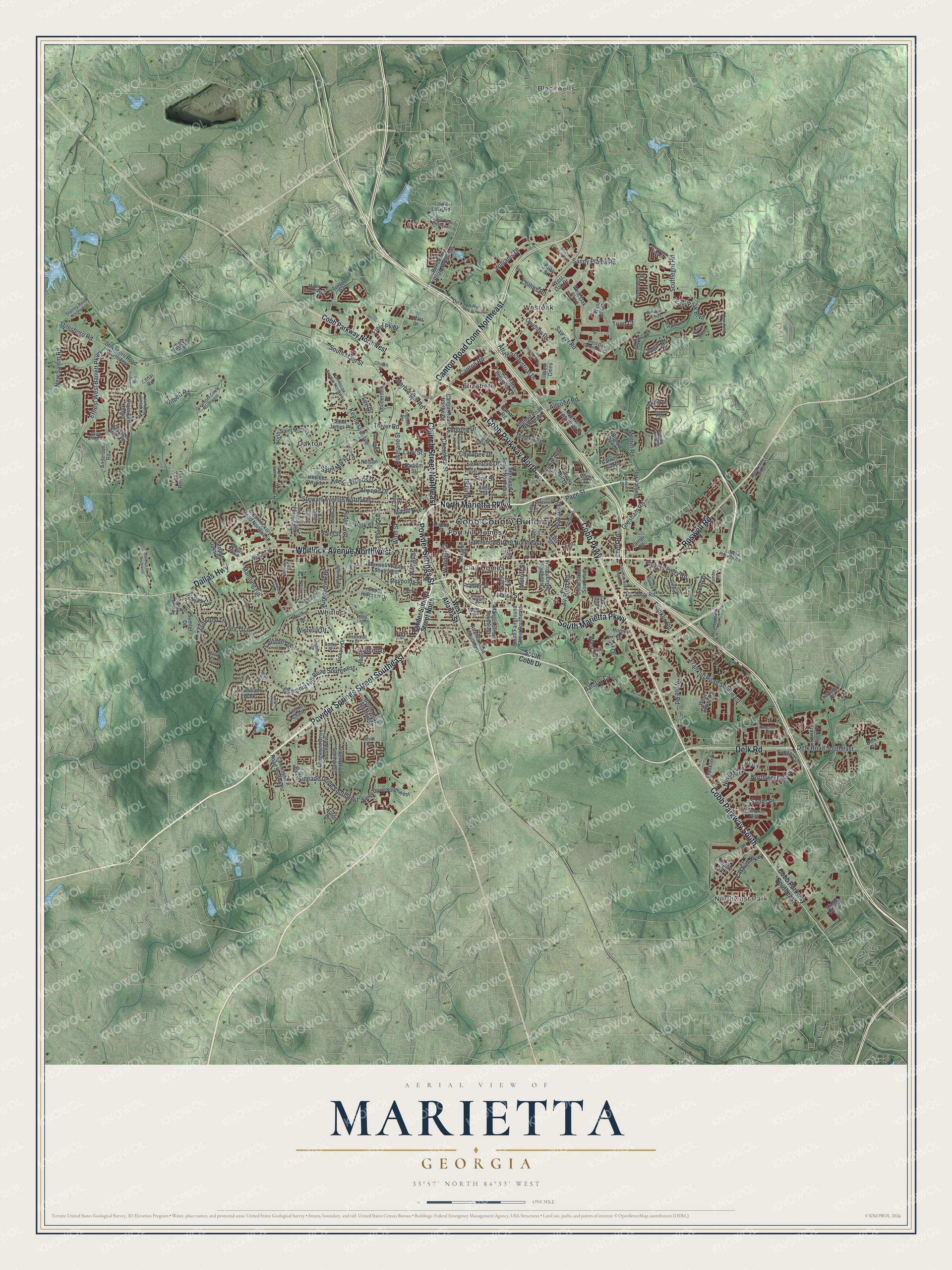
This beautifully detailed map of Marietta, Georgia was created in 2026 using aerial imagery combined with modern topographical, census, street and landmark data. It’s a one-of-a-kind view of Marietta that combines accurate data with a vintage aesthetic. The map shows every building in its true location, many of the roads carry their names, and the shaded topographic relief shows the shape of the land.
Explore an aerial view of Marietta, Georgia
On the map you’ll find Cobb County Building, Northwest Park, Blackwells, Elizabeth, Oakton, and Westoak, along with Marietta Parkway, Powder Springs Street, Church Street, Cobb Parkway, and more. If you look closely you can even find your house accurately drawn in its correct location. Zoom in on the preview to look for yours.
Did You Know?
Planners first picked Marietta as the hub of the new Western and Atlantic Railroad. Local business boomed. In 1842 new managers moved the hub to the spot that became Atlanta. When trains began running in 1850, Marietta still shared in the prosperity.
Take a closer look at the Marietta map
Names on this map
These names are printed on this map.
Places: Cobb County Building, Northwest Park, Blackwells, Clay Homes, Elizabeth, Fort Hill Homes, Oakton, Westoak and Whitlock.
Streets and roads: South Marietta Parkway, North Marietta Parkway, Powder Springs Street Southeast, Powder Springs Street, Church Street Northeast, Cobb Parkway South, Roswell Road, Canton Road Conn Northeast, Cobb Parkway North, Whitlock Avenue Northwest, Dallas Highway, Cobb Parkway.
More street names, A to Z
Adair Drive, Airport Court, Alexander Street, Allgood Road, Allgood Road Northeast, Amy Drive, Anderson Road, Apache Trail, Arden Drive, Arden Drive Southwest, Atlanta Industrial Drive, Atlanta Road Southeast, Atwood Drive, Austin Avenue, Avery Street, Aviation Road, Ayers Avenue, Baileys Corner, Banberry Road, Banks Street, Barclay Circle, Barnes Mill Drive, Barnes Mill Road, Basil Court, Beech Street, Bellemeade Drive Southwest, Bells Ferry Road Northwest, Bell Street, Blanch Drive, Bonnie Dell Drive, Booth Road, Booth Road Southwest, Brentwood Drive, Brookwood Drive, Burnt Hickory Road Northwest, Button Hill Road, Cameron Creek, Camp Street, Canton Road, Canton Road Northeast, Capital Circle, Carriage Oaks Drive, Caswell Parkway, Chadsford Road, Cherokee Street, Chert Road, Chestnut Hill Road Southwest, Chicopee Drive, Church Street, Cleburne Avenue, Cobb Industrial Drive, Cobb Parkway Northwest, Cobb Parkway Southeast, Cogburn Avenue, Collins Road, Colston Road, Conrad Court, Cross Fire Ridge, Crown Terrace, Cunningham Road Southwest, Dallas Circle, Damar Road, Delk Road, Delk Road Southeast, Denmeade Walk, Dickson Road, Dodd Street Southeast, Durham Street, East Drive, East Park Boulevard, Enterprise Way, Ernest West Barrett Parkway, Etowah Drive, Fairground Street Northeast, Faith Street, Field Parkway, Finnish Lane, Forest Lane, Franklin Drive, Franklin Road, Franklin Road Southeast, Frasier Street, Freyer Drive, Freys Gin Road Southeast, Garrison Drive, Gateview Way, Gilbert Road, Ginn Street, Glen Ivy, Goldie Drive, Gresham Road, Greymont Circle Northwest, Haley Street, Hamby Road, Hardage Drive Northwest, Hardage Farm Drive, Hart Drive, Heathersett Drive, Henry Drive, Hickory Drive, Hope Street, Hornet Drive, Howard Street, Hunt Street, Jennie Tate Way, Keeler Woods, Keeler Woods Drive, Kenai Road, Kennesaw Avenue, Kennesaw Avenue Northwest, Kimberly Way, Kingston Court, Kirkpatrick Drive, Lacy Street, Lakeview Drive, Laura Lake Road, Laurel Chase, Laurel Crest Court, Lawrence Street Northeast, Lee Drive, Lees Trce, Lemon Street, Longstreet Drive, Longwood Drive Southwest, Loudermilk Drive, Lower Roswell Road, Manget Street Southeast, Manning Road, Maple Avenue, Maple Grove Way, Marble Mill Road, Marietta Industrial Drive, Maxwell Avenue Southwest, Meadowbrook Drive, Merrifield Lane, Merritt Road, Merritt Street, Merrydale Drive, Mountain View Road Northwest, Nelson Street, New Market Parkway, New Salem Road, North Saint Marys Lane, Northwest Parkway, Oakledge Drive, Old Dallas Road, Otis Street, Owenby Drive, Page Street, Parkside Trail Northwest, Pauline Drive, Phillips Drive, Pickens Industrial Drive, Pinebreeze Drive, Pine Street, Polk Street, Powder Springs Street North, Powers Ferry Place, Powers Ferry Road, Radium Street, Raleigh Court, Redwood Drive, Reynolds Street, Richard Street, Riders Trail Northeast, Ridge Avenue, Ridge Way Drive, Rockford Pass, Rock Street, Roselane Street, Rosewood Creek Drive, Ruby Street, Saine Drive Southwest, Saint James Place, Saint Marys Lane, Sands Place, Sandy Plains Con, Sandy Plains Road, Sawyer Road, Scott Drive, Scufflegrit Road, Seminole Drive, Senna Street, Sequoia Drive, Shy Lane, Skyview Drive, Soaring Drive, Soaring Pointe, Soaring Pointe Drive, Sope Creek Ridge, South Avenue, South Cobb Drive, South Fairground Street Southeast, South Hillcrest Drive, South Main Street, Stanley Road Northwest, Stewart Avenue Northwest, Stilesboro Road, Stilesboro Road Northwest, Stillington Way, Stone Bridge Lane, Sumter Drive, Terrell Drive, The Retreat, Tom Read Drive, Tower Road, Trailwood Lane, Triad Court, Turner Road, Varner Road, Victory Drive Southeast, Waddell Street, Wallace Road, Walnut Drive, West Atlanta Street, West Club Drive, West Cmns, West Drive, West Oak Circle, West Oak Commons Court, West Oak Drive, West Oak Parkway, West Tower Road, Whitlock Ridge Drive, Williams Drive, Wilshire Avenue, Wilson Circle, Winn Street, Wisteria Drive, Wright Street, Wylie Road, York Trce.
See it on a wall
The Marietta map as a framed print. Swipe for more.


This beautifully detailed map of Marietta makes an attractive addition to your office, library, or den, and it can even be used to teach children the geography and history of the area. It also makes a great gift for someone who left Marietta and still calls it home. When you’re done exploring, click here to get your copy of the Marietta map.