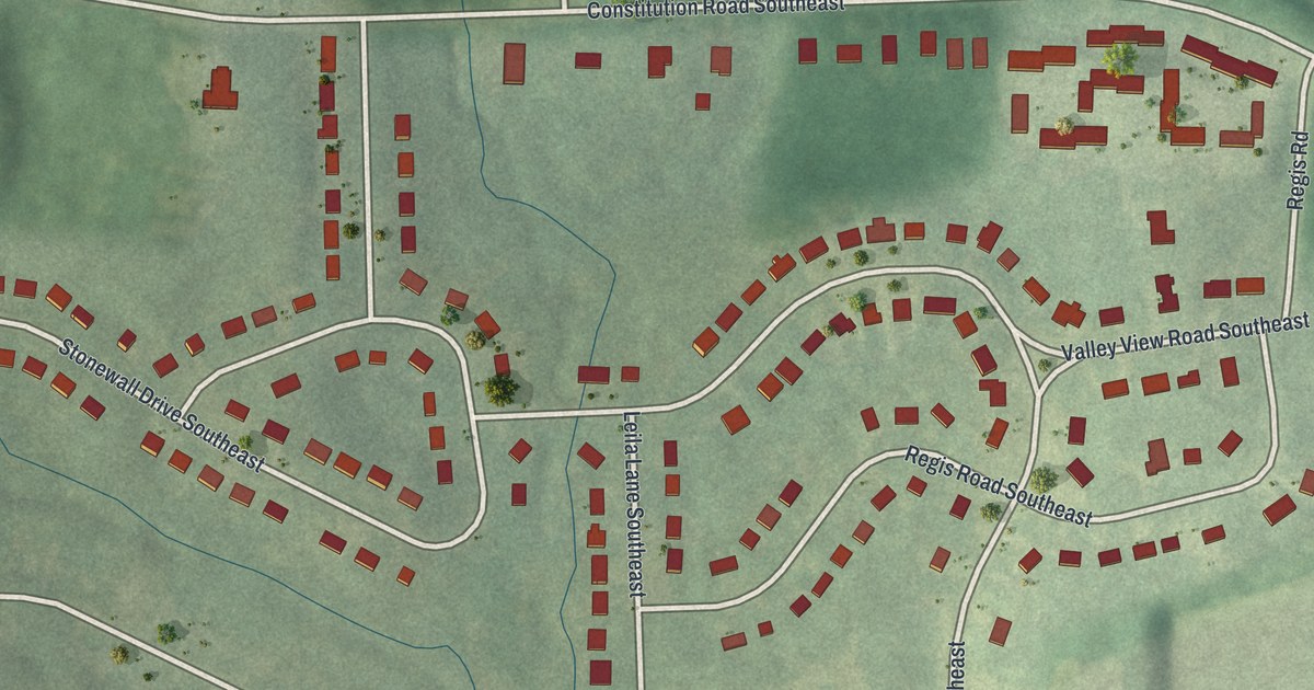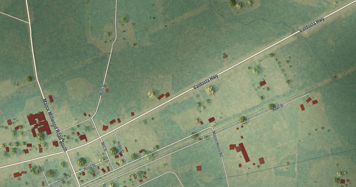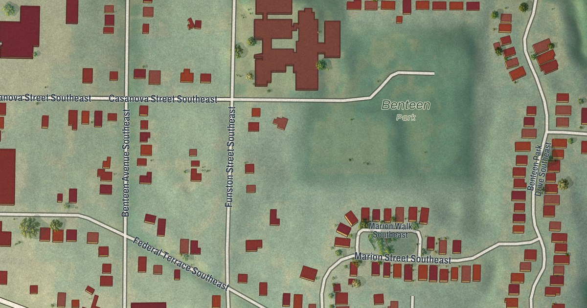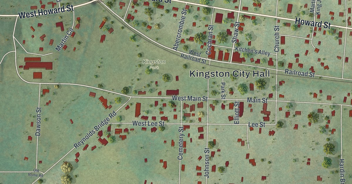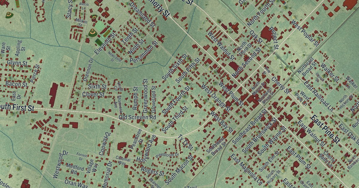
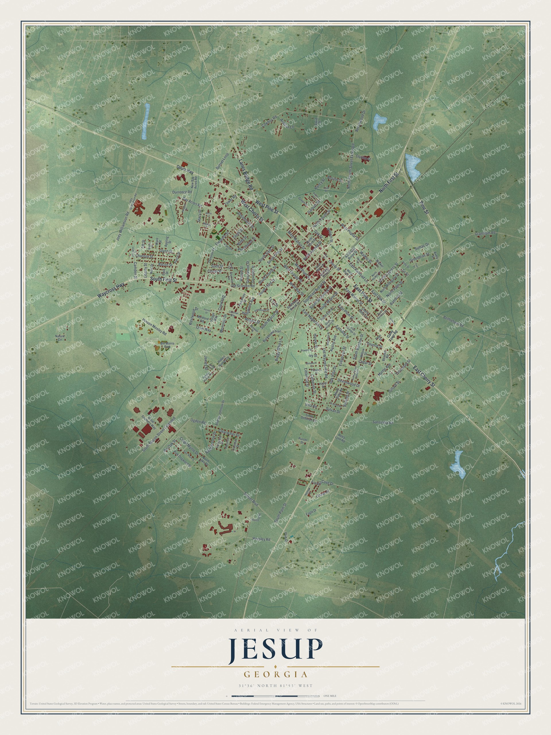
This beautifully detailed map of Jesup, Georgia was created in 2026 using aerial imagery combined with modern topographical, census, street and landmark data. It’s a one-of-a-kind view of Jesup that combines accurate data with a vintage aesthetic. The map shows every building in its true location, many of the roads carry their names, and the shaded topographic relief shows the shape of the land.
Explore an aerial view of Jesup, Georgia
On the map you’ll find Bill Morris Park, along with Cherry Street, Pine Street, Waycross Highway, First Street, Lanes Bridge Road, and more. If you look closely you can even find your house accurately drawn in its correct location. Zoom in on the preview to look for yours.
Did You Know?
In February 1869 Willis Clary started a two-story hotel where two railroads crossed. By that September five stores and a sawmill stood nearby, along with a place where rail travelers ate. By December it was called Jesup, for General Thomas Jesup of the Second Seminole War. Clary served as its first mayor, and in 1873 it became the county seat.
Take a closer look at the Jesup map
Names on this map
These names are printed on this map.
Places: Bill Morris Park.
Streets and roads: West Cherry Street, East Cherry Street, Pine Street, Waycross Highway, South First Street, North First Street, West Pine Street, East Pine Street, Lanes Bridge Road, Crepe Myrtle Drive, Pin Oak Street, North Fourth Street Extended.
More street names, A to Z
Alecia Lane, Andrew Johnson Drive, Appling Street, Arabian Lane, Arborshade Drive, Austin Avenue, Avery Street, Bacon Street, Bamboo Street, Bamboo Street Extended, Barrington Drive, Bay Acres Road, Beechwood Drive, Bennett Road, Berkley Drive, Bethlehem Road, Boston Street, Brannen Street, Buckboard Trail, Buggy Whip Lane, Camden Street, Carey Town Road, Catherine Street, Cedar Street, Charlton Street, Chase Drive, Cherry Saint Lane, Cherry Street, Church Street, Clearwater Drive, Clint Street, Clover Street, Club Drive, Colonial Way, Conway Drive, Cowboy Road, David Drive, Devonwood Drive, Dreamland Street, Drennon Drive, Durrence Road, Eagle Drive, East Bay Street, East Drive, East Magnolia Lane, East Oak Street, East Orange Street, East Plum Street, East Railroad Lane, East Walnut Street, Eleventh Street, Evergreen Street, Express Lane, Fern Street, Fir Street, Forrest Cove Drive, Forrest Drive, Garbutt Road, Gilford Street, Glynn Street, Grantham Road, Great Southern Way, Greenbrae Street, Green Street, Greenwood Street, Groveland Street, Hannah Drive, Harper Street, Hazel Street, Hensley Road, Hinson Mosley Road, Holly Street, Hollywood Avenue, Howard Drive, Hunter Street, Ivy Street, James Street, Joey Williamson Road, Joey Willliamson Road, Knoll Circle, Liberty Street, Littlefield Street, Magnolia Drive, Medford Road, Memorial Drive, Milikin Street, Montana Road, Myrtle Avenue, Nancy Street, Nature Circle, New Bay Acres Road, Newcastle Street, Ninth Street, North Bamboo Street, North Cypress Street, Northeast Broad Street, North Fourth Street, North Hickory Street, North Lake Drive, North Macon Street, North Mahogany Street, North Palm Street, North Second Street, North Third Street, Northwest Broad Street, Oak Street, Oak Villa Drive, Odum Highway, Ogden Road, Old Screven Road, Old Waynesville Road, Oquinn Street, Oran Way, Palmetto Street, Peachtree Street, Pear Street, Persimmon Street, Pierce Street, Pinebloom Drive, Pink Dogwood Street, Portmere Drive, Powers Drive, Project Street, Purser Drive, Retta Lynn Road, Robert Hunter Circle, Robert Hunter Road, Rogers Street, Rugglestone Drive, Rumph Street, Sansivilla Road, Seven Oaks Road, Shamrock Avenue, Sixth Street, South Bamboo Street, South Brunswick Street, South Deborah Circle, Southeast Broad Street, South Elm Street, South Fifth Street, South Fourth Street, South Hickory Street, South Macon Street, South Macon Street Extended, South Palm Street, South Sixth Street, South Third Street, South Wayne Street, Southwest Broad Street, Stacy Street, Stratford Road, Sugar Maple Drive, Sumac Drive, Sunset Boulevard, Sunset Loop, Sutton Street, Sylvan Drive, Tecumseh Street, Tenth Street, Tift Street, Tower Road, Ty Ty Street, Village Way, Villa Road, Vixenhill Drive, Walker Lane, Walker Street, Ware Street, West Bay Street, West Drive, West Orange Street, West Pine Lane, West Plum Street, West Poplar Street, West Walnut Street, Westwood Drive, Williamson Street, Willow Street, Worth Street, Younce Street.
See it on a wall
The Jesup map as a framed print. Swipe for more.


This beautifully detailed map of Jesup makes an attractive addition to your office, library, or den, and it can even be used to teach children the geography and history of the area. It also makes a great gift for anyone who grew up in Jesup or moved away. When you’re done exploring, click here to get your copy of the Jesup map.