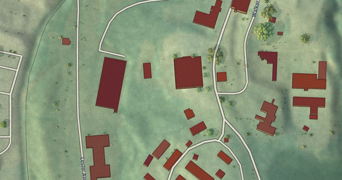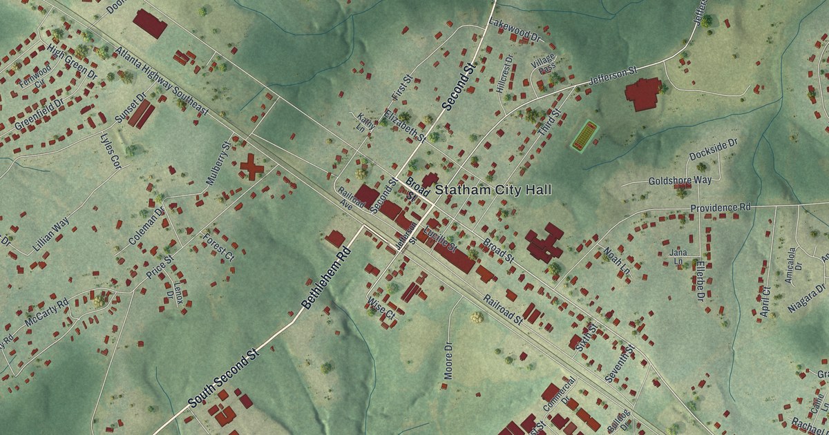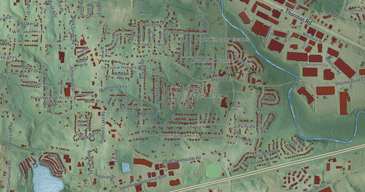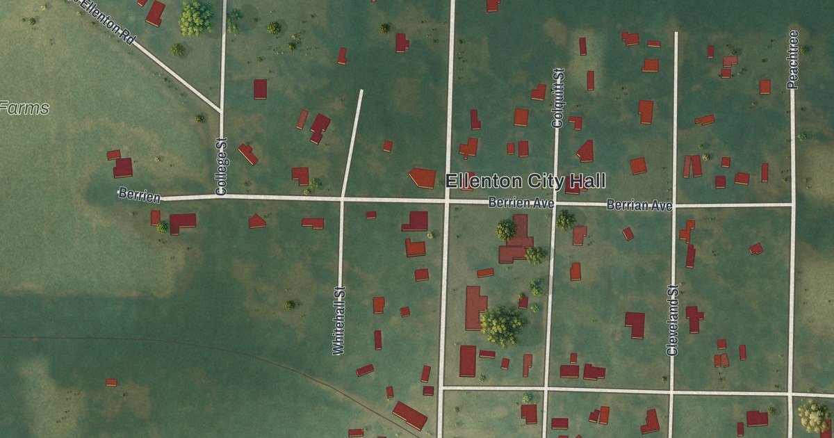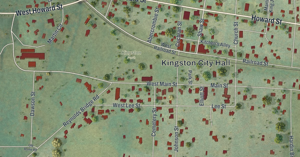
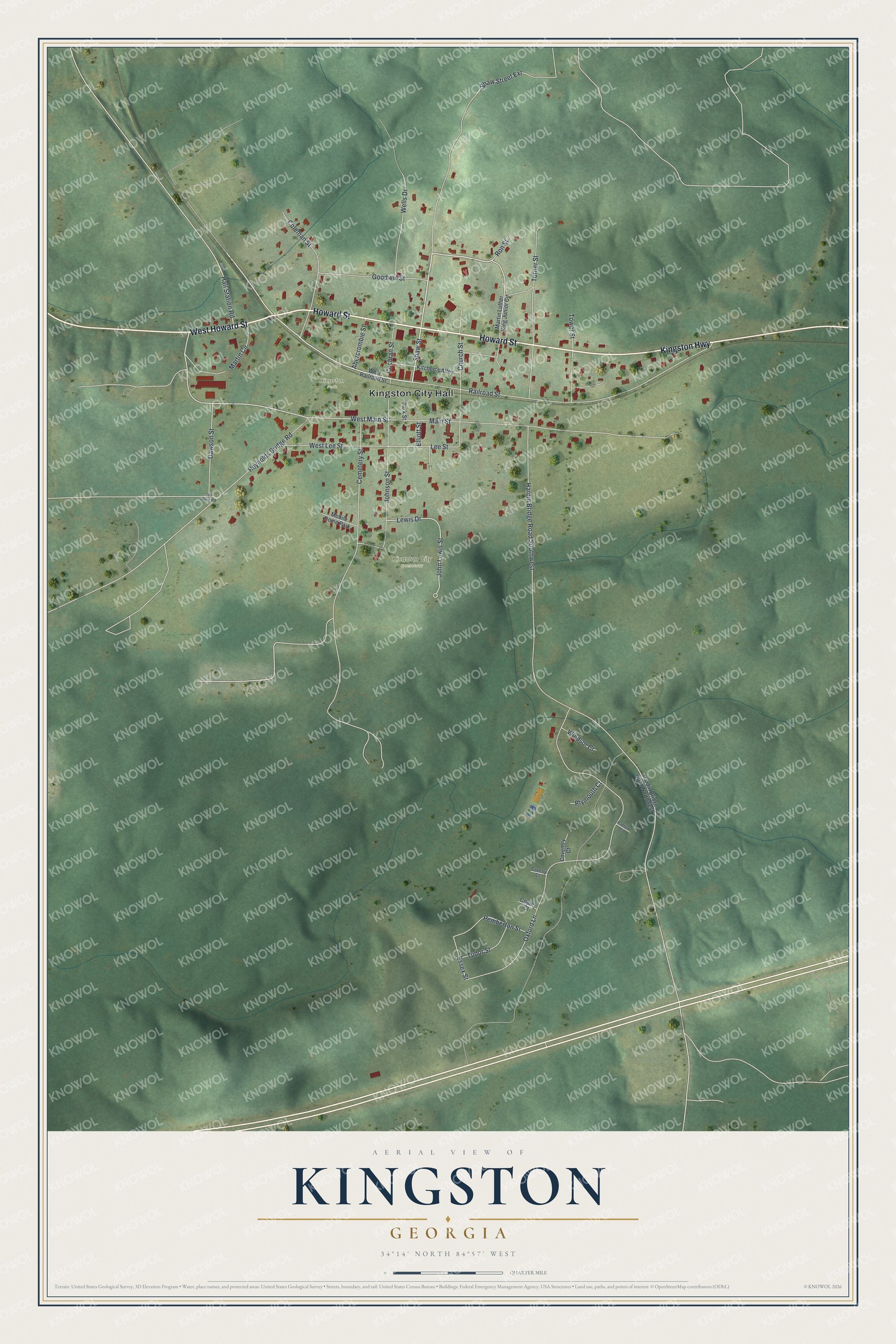
This beautifully detailed map of Kingston, Georgia was created in 2026 using aerial imagery combined with modern topographical, census, street and landmark data. It’s a one-of-a-kind view of Kingston that combines accurate data with a vintage aesthetic. The map shows every building in its true location, many of the roads carry their names, and the shaded topographic relief shows the shape of the land.
Explore an aerial view of Kingston, Georgia
On the map you’ll find Kingston City Hall and Kingston City Cemetery, along with Howard Street, Kingston Highway, Shaw Street, Railroad Street, and more. If you look closely you can even find your house accurately drawn in its correct location. Zoom in on the preview to look for yours.
Did You Know?
Kingston was named for United States Senator John P. King of Augusta. Soldiers from the Civil War lie buried here, Union men among them. For more than forty years, the women of Kingston cared for these graves. That’s from the 1913 Georgia’s Landmarks and Legends.
Take a closer look at the Kingston map
Names on this map
These names are printed on this map.
Places: Kingston City Hall, Kingston City Cemetery, Kingston Park and Mobile Home Park.
Streets and roads: West Howard Street, Howard Street, Kingston Highway, Shaw Street, Railroad Street, Main Street, West Main Street, Lee Street, Essex Street, Oxford Lane, Hardin Bridge Road Southwest, Shaw Street Extension.
More street names, A to Z
Abercrombie Street, Cemetery Street, Church Street, Cochran Street, Coleman Street, Copley Court, Coventry Court, Coverly Court, Dawson Street, Elliott Street, Goodwin Street, Hall Station Road, Hardin Bridge Road Northwest, John Lewis Street, Johnson Street, Kitchen's Alley, Lewis Drive, Martin Circle, Martin Luther King Junior Circle, Old Rome Road, Park Street, Pemberton Street, Plymouth Court, Radford Court, Reynolds Bridge Road, Ron Street, Tower Street, Tudor Street, Turner Street, Wells Drive, West Lee Street, West Railroad Street, Windsor Court.
See it on a wall
The Kingston map as a framed print. Swipe for more.


This beautifully detailed map of Kingston makes an attractive addition to your office, library, or den, and it can even be used to teach children the geography and history of the area. It also makes a great gift for someone who left Kingston and still calls it home. When you’re done exploring, click here to get your copy of the Kingston map.