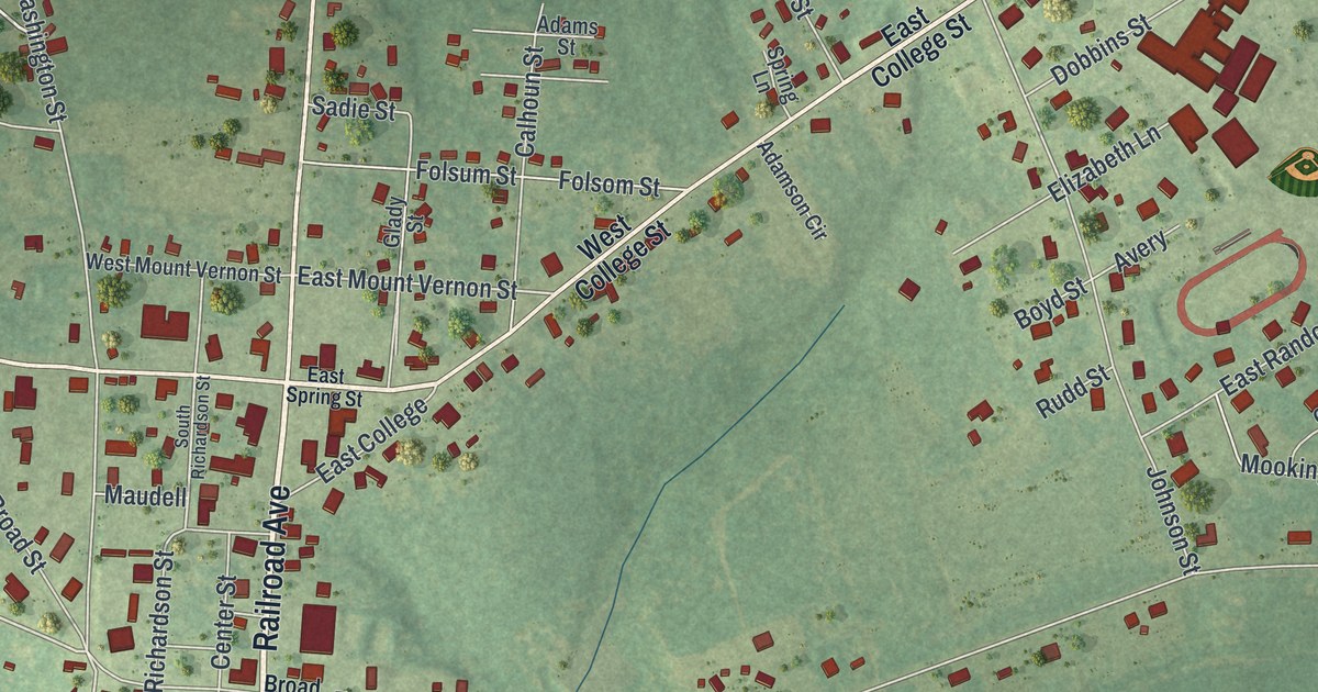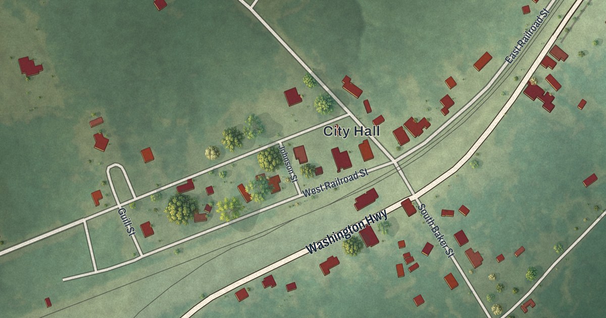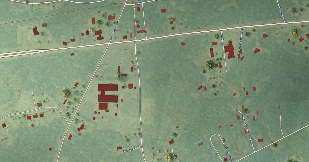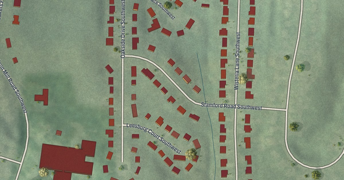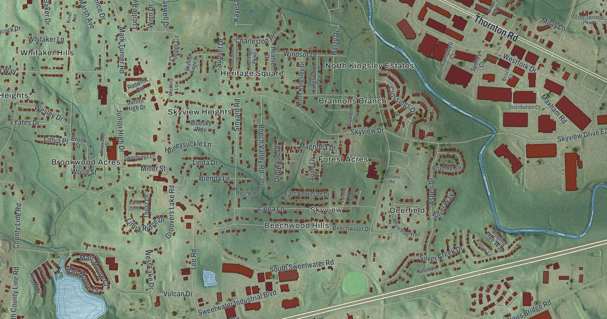
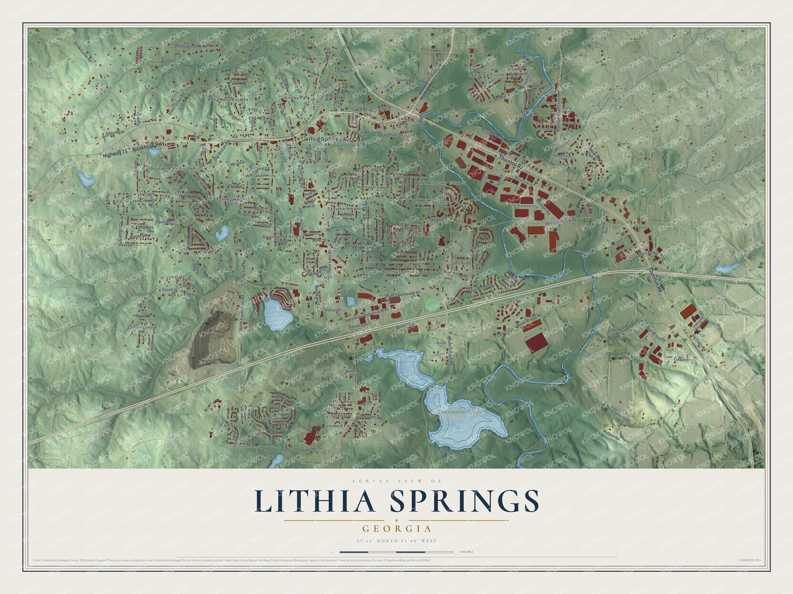
This beautifully detailed map of Lithia Springs, Georgia was created in 2026 using aerial imagery combined with modern topographical, census, street and landmark data. It’s a one-of-a-kind view of Lithia Springs that combines accurate data with a vintage aesthetic. The map shows every building in its true location, many of the roads carry their names, and the shaded topographic relief shows the shape of the land.
Explore an aerial view of Lithia Springs, Georgia
On the map you’ll find Lithia Springs City Hall, Maxham Road Extended, Ansley Park, Beechwood Hills, Brannons Branch, Brookstone, Brookwood Acres, and Sweetwater Creek State Park, along with Bankhead Highway, Thornton Road, Veterans Memorial Highway, and more. If you look closely you can even find your house accurately drawn in its correct location. Zoom in on the preview to look for yours.
Did You Know?
Lithia Springs grew up around a natural spring whose water people believed could heal. In 1887 the Sweet Water Hotel opened here as a 300-room luxury health resort. Guests included Mark Twain, the Vanderbilts, and Presidents McKinley, Cleveland, Taft and Theodore Roosevelt. The spring water is still bottled and sold today.
Take a closer look at the Lithia Springs map
Names on this map
These names are printed on this map.
Places: Lithia Springs City Hall, Sweetwater Creek State Park, Anna Bella Estates, Ansley Park, Beechwood Hills, Boulder Park Estates, Brannons Branch, Brookstone, Brookwood Acres, Deerfield, Fairfax, Forest Acres, Heritage Square, Killarney Hills, Lawrence Estates, Leeward Park, North Kingsley Estates, Oak Hill, Park Place, Rocky Hills, Skyview, Skyview Heights, Stoneybrook, Tammy Heights, Trail Creek and Whitaker Hills.
Streets and roads: Bankhead Highway, Highway 78, Thornton Road, Maxham Road Extended, Hasty Drive, Bowden Street, Skyview Drive East, Lucille Avenue, Lynch Lane, Factory Shoals Road, Mount Vernon Road, South Sweetwater Road.
More street names, A to Z
Alix Way, Angelina Drive, Ann Lane, Ansley Boulevard, Ansley Circle, Apple Lane, Arthur Drive, Aspen Drive, Aycock Drive, Bailey Lane, Baker Drive, Barbara Lane, Baumer Road, Beaver Road, Beech Valley Road, Beechwood Drive, Bellingham Way, Ben Hill Road, Blairs Bridge Road, Bluebird Lane, Bluesky Way, Bob Arnold Drive, Bosch Court, Boyd Street, Brannon Drive, Brenda Lane, Brookstone Drive, Brook Street, Brookwood Drive, Brownsville Road, Brumby Circle, Bullard Road, Campbell Court, Canary Court, Carol Way, Carolyn Circle, Causey Road, Cedar Terrace Road, Center Street, Charleston Place, Cherry Circle, Chickasaw Lane, Cimmaron Trail, Circuit City Court, Citrine Cross, Clare Lane, Cook Drive, Cooper Circle, County Line Road, Creel Drive, Crestmark Boulevard, Crestmark Drive, Crossings Drive, Dale Court, Dale Lane, Day Street, Deborah Lane, Dewayne Lane, Distribution Court, Dogwood Drive, Donegal Circle, Douglas Hills Road, East Anderson Drive, East County Line Road, East Stoneybrook Drive, Emery Circle, Evans Drive, Fairfax Drive, Fall River Drive, Fifth Street, First Street, Florence Drive, Forest Drive, Fourth Street, Gail Court, Ginger Lane, Glenda Street, Gordon Street, Groovers Lake Road, Hagan Street, Harper Street, Hazel Street, Heather Drive, Heritage Parkway, Highland Terrace, Hill Street, Honeysuckle Lane, Hyde Street, Hyde Way, Interstate West Parkway, Jenny Lane, Jim Street, Joanna Street, Jordan Lane, Junior High Drive, Karsyn Lane, Kayes Drive, Kingswood Court, Kiser Avenue, Kull Drive, Lakeside Drive, Lakeside Place, Laura Lane, Lee Road, Lee Street, Liberty Trail, Linda Drive, Linda Lane, Line Street, Lithia Place, Lithia Ridge Drive, Lithia Way, Lorene Lane, Love Street, Lucile Avenue, Magnolia Drive, Margie Lane, Mark Turner Road, Marsh Avenue, Matt-Moore Court, Matt Moore Court, Maxham Road, Maxwell Drive, McKown Road, Meadowlark Place, Mill Branch Road, Miller Street, Misty Lane, Monier Avenue, North Blairs Bridge Road, North County Line Road, North Kingsley Drive, North Martin Way, North Sweetwater Road, Oak Hill Court, Oakview Lane, Old Alabama Road, Old Beulah Road, Old Douglasville Road, Olde Oak Drive, Olde Spring Trail, Oliver Street, Olive Street, Oriole Trail, Paces Drive, Paces Estates Drive, Park Avenue, Park Drive, Parkview Drive, Patty Court, Peachtree Street, Penny Lane, Plantation Drive, Quality Way, Riley Estates Drive, Riley Road, Roberta Street, Robin Road, Romans Road, Rosehill Circle, Sand Pump Road, Seminole Trail, Shannon Drive, Shepherd Drive, Silver Creek Drive, Silverdale Lane, Silver Way, Sinyard Road, Six Flags Road, Skyline Ridge Drive, Skyview Drive, Sloping Tree Way, Smith Hill Road, South Barbara Lane, South Martin Way, Stoneybrook Drive, Strickland Street, Sunset Drive, Sunset Lane, Sweetridge Court, Sweetwater Industrial Boulevard, Sydney Court, Temple Street, Third Street, Thornton Way, Topaz Lane, Trae Lane, Trail Creek Circle, Trail Creek Drive, Tralee Drive, Tree Terrace Parkway, Tulip Drive, Union Grove Road, Veterans Memorial Highway, Vulcan Drive, Waterford Club Drive, Wesley Drive, West Anderson Drive, Westfork Boulevard, Westfork Court, Westfork Drive, West Lake Drive, Whitaker Lane, White Flag Trail, Winding Creek Drive, Windsor Drive, Winn Drive, Wisteria Lane, Wood Street, Wren Circle, Yates Drive.
See it on a wall
The Lithia Springs map as a framed print. Swipe for more.


This beautifully detailed map of Lithia Springs makes an attractive addition to your office, library, or den, and it can even be used to teach children the geography and history of the area. It also makes a great gift for someone who left Lithia Springs and still calls it home. When you’re done exploring, click here to get your copy of the Lithia Springs map.