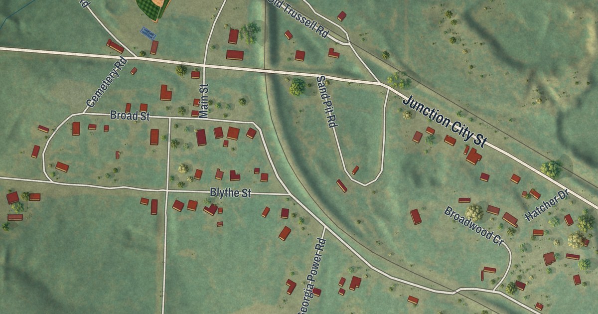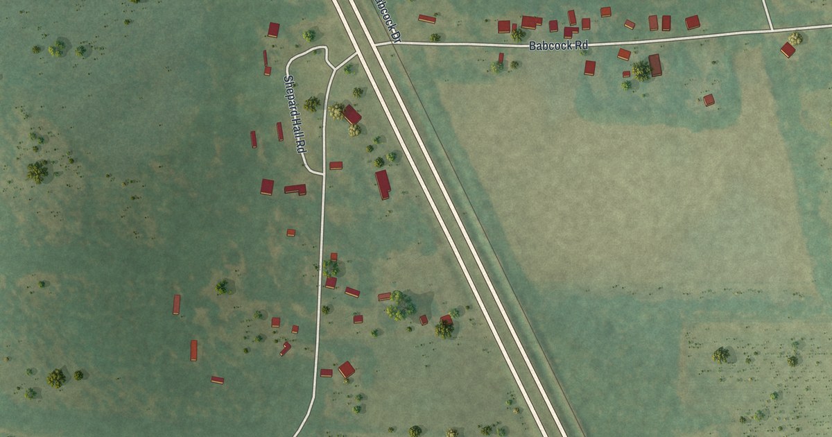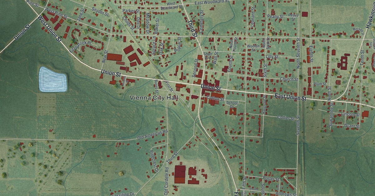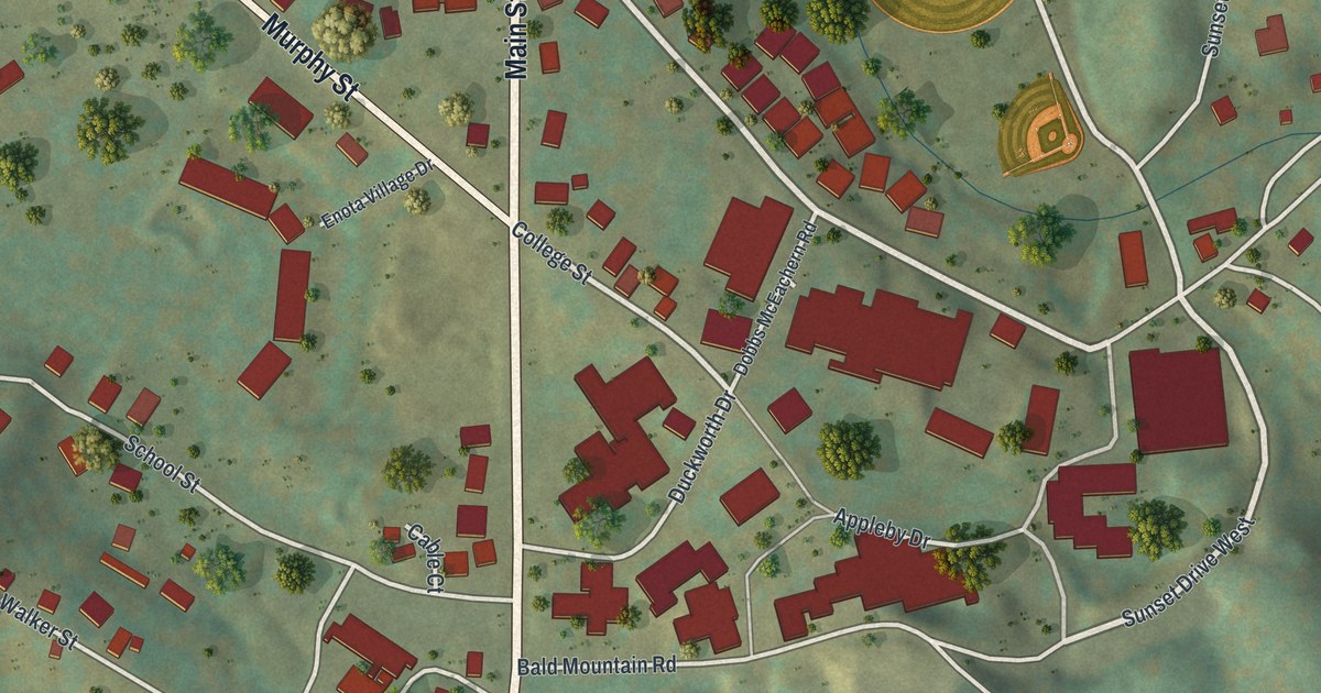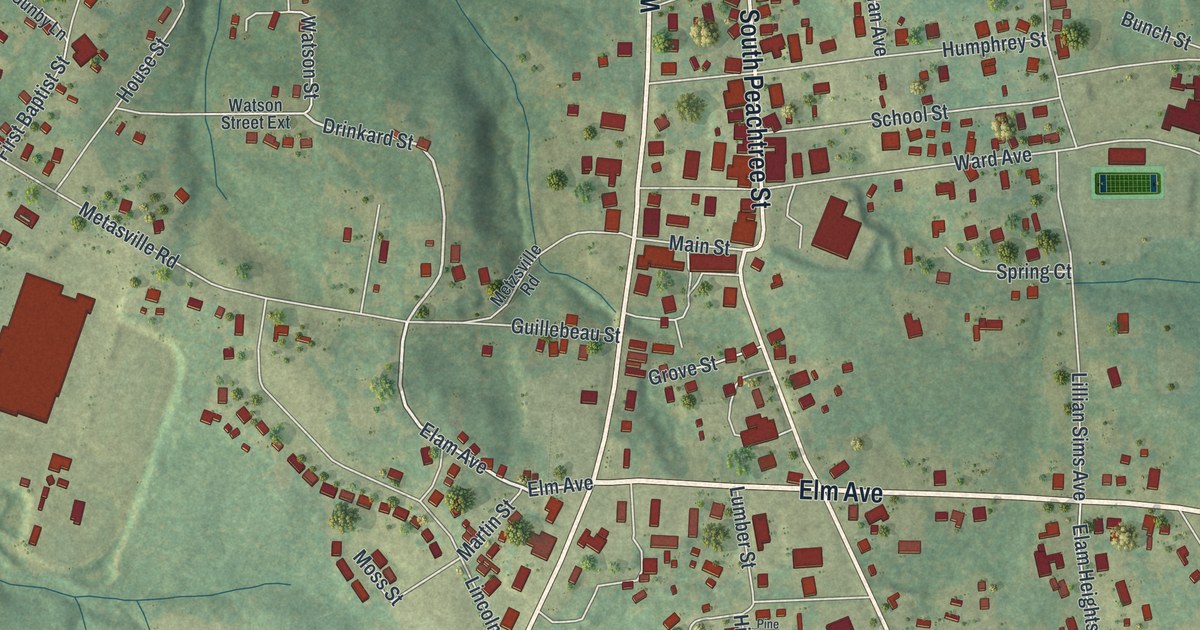
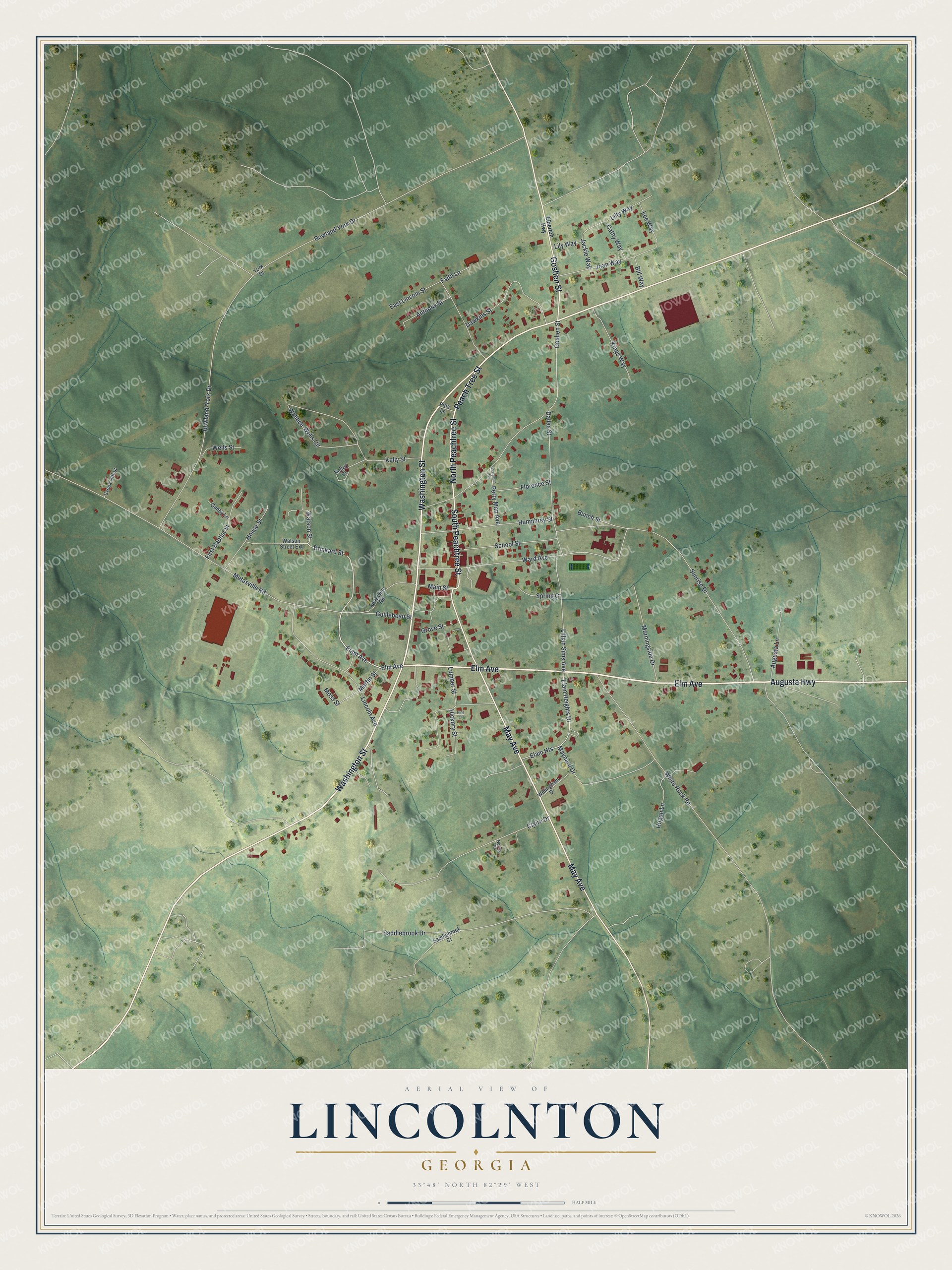
This beautifully detailed map of Lincolnton, Georgia was created in 2026 using aerial imagery combined with modern topographical, census, street and landmark data. It’s a one-of-a-kind view of Lincolnton that combines accurate data with a vintage aesthetic. The map shows every building in its true location, many of the roads carry their names, and the shaded topographic relief shows the shape of the land.
Explore an aerial view of Lincolnton, Georgia
On the map you’ll find Elm Avenue, Augusta Highway, May Avenue, Peachtree Street, and more. If you look closely you can even find your house accurately drawn in its correct location. Zoom in on the preview to look for yours.
Did You Know?
Lincolnton began in 1798, when it was chosen as seat of the brand new Lincoln County. Town and county alike honor General Benjamin Lincoln, a Continental Army officer in the Revolution. Many of its old houses and historic districts now appear on the National Register.
Take a closer look at the Lincolnton map
Names on this map
These names are printed on this map.
Streets and roads: Elm Avenue, Augusta Highway, May Avenue, South Peachtree Street, North Peachtree Street, Peach Tree Street, Goshen Street, Washington Street, Elam Avenue, Drinkard Street, Metasville Road, Sunrise Drive.
More street names, A to Z
Anthony Street, Augusta Lane, Bill Way, Bunch Street, Cathy Way, Claire Drive, Creek Hill Street, Dallas Street, Dawkins Street, East Lincoln Street, Elam Heights, Elam Heights Drive, Elberton Highway, Faith Lane, First Baptist Street, Florence Street, Grove Street, Guillebeau Street, Gunby Lane, Hickory Street, Hogan Lane, House Street, Humphrey Street, Jackie Way, Joan Way, Kelley Court, Kelly Street, Kings Way, Lee Way, Lillian Sims Avenue, Lilly Way, Lily Way, Lincoln Avenue, Lumber Street, Main Street, Martin Street, Maynard Drive, Metzsville Road, Morningside Drive, Moss Street, Norris Court, Perry Man Avenue, Perryman Avenue, Pine Court, Pitts Lane, Rowland-York Drive, Rowland York Drive, Saddlebrook Court, Saddlebrook Drive, School Street, Spring Court, Wallace-Wells Circle, Ward Avenue, Watson Street, Watson Street Extension, Wells Street, White Rock Road, Willingham Drive, York Drive.
See it on a wall
The Lincolnton map as a framed print. Swipe for more.


This beautifully detailed map of Lincolnton makes an attractive addition to your office, library, or den, and it can even be used to teach children the geography and history of the area. It also makes a great gift for someone who left Lincolnton and still calls it home. When you’re done exploring, click here to get your copy of the Lincolnton map.