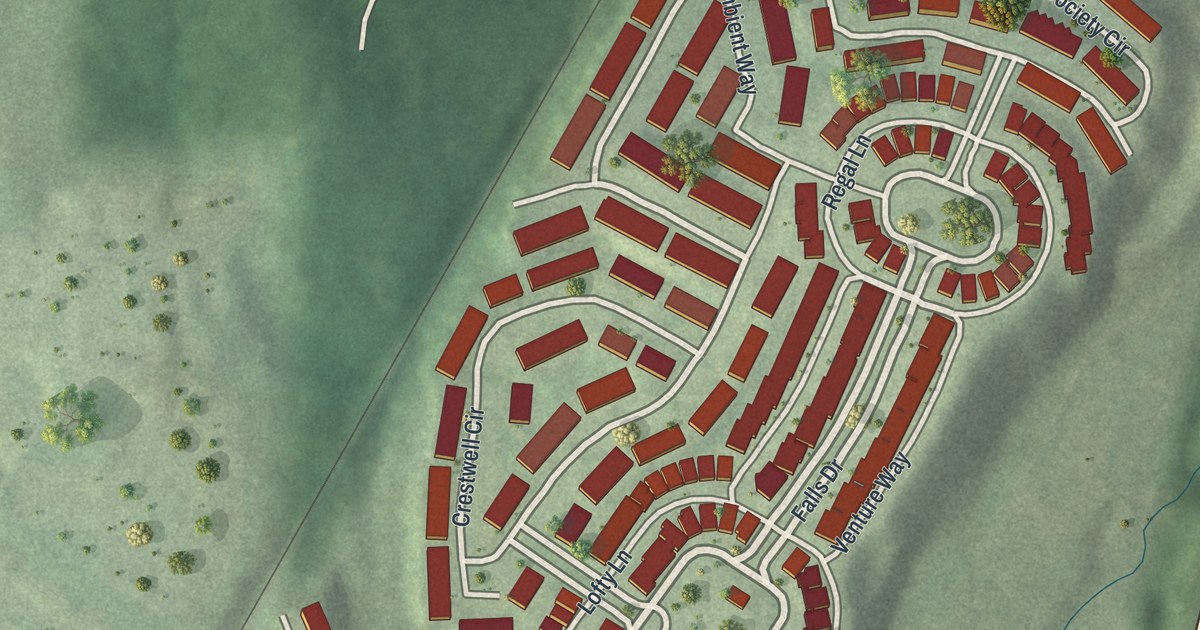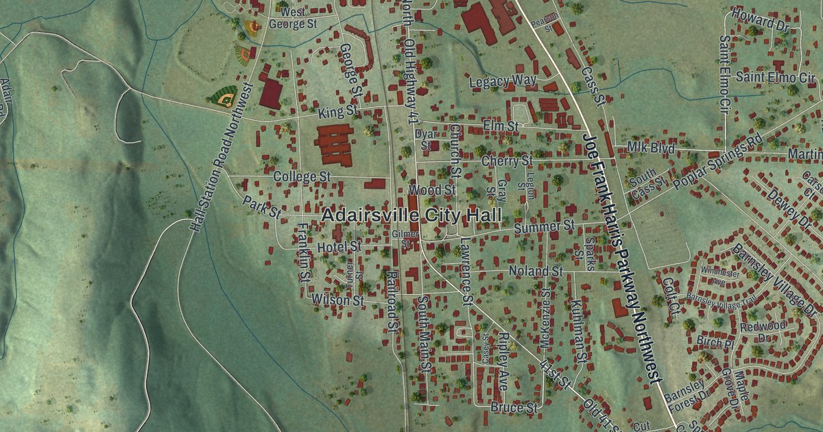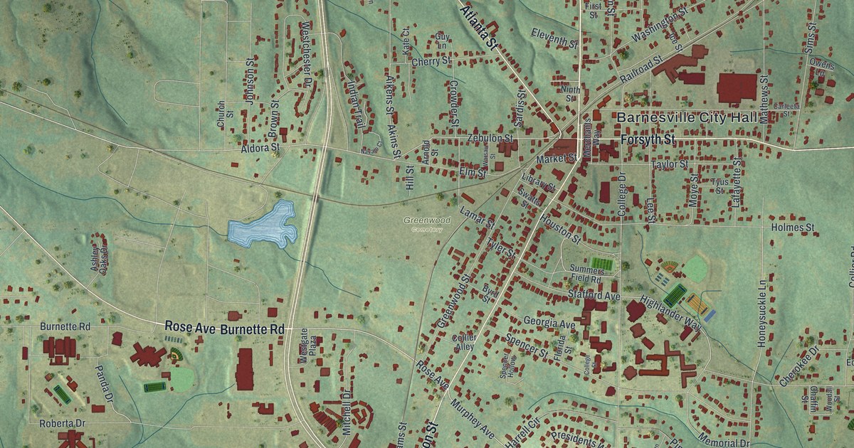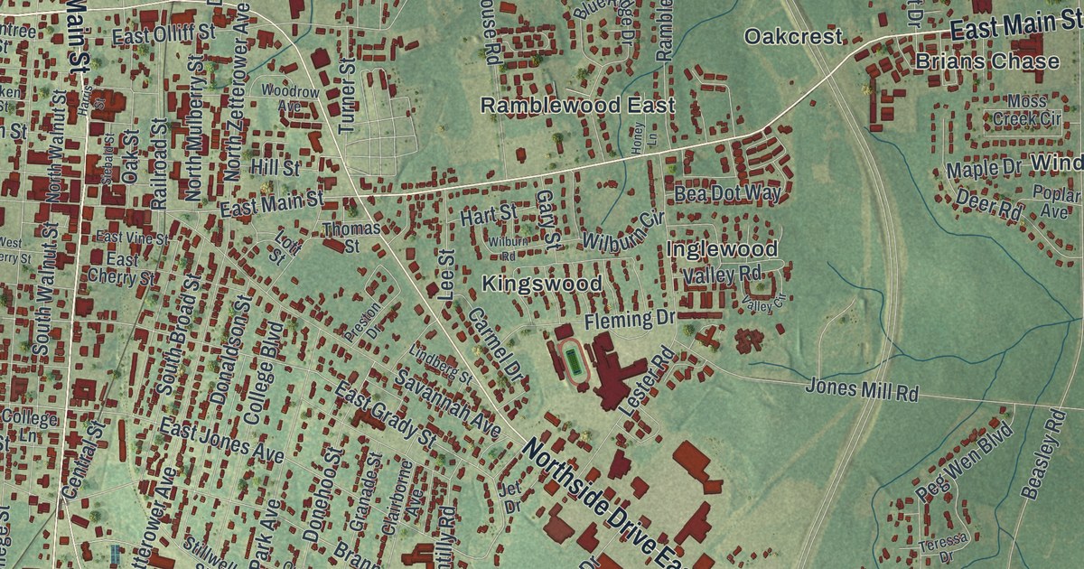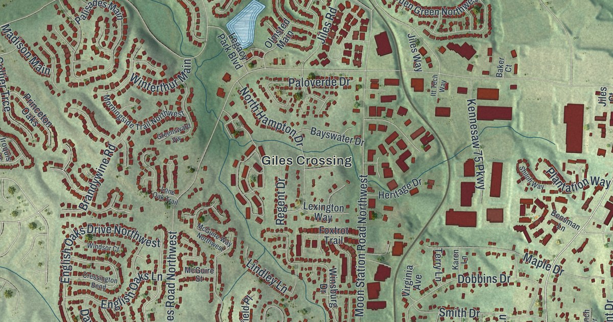
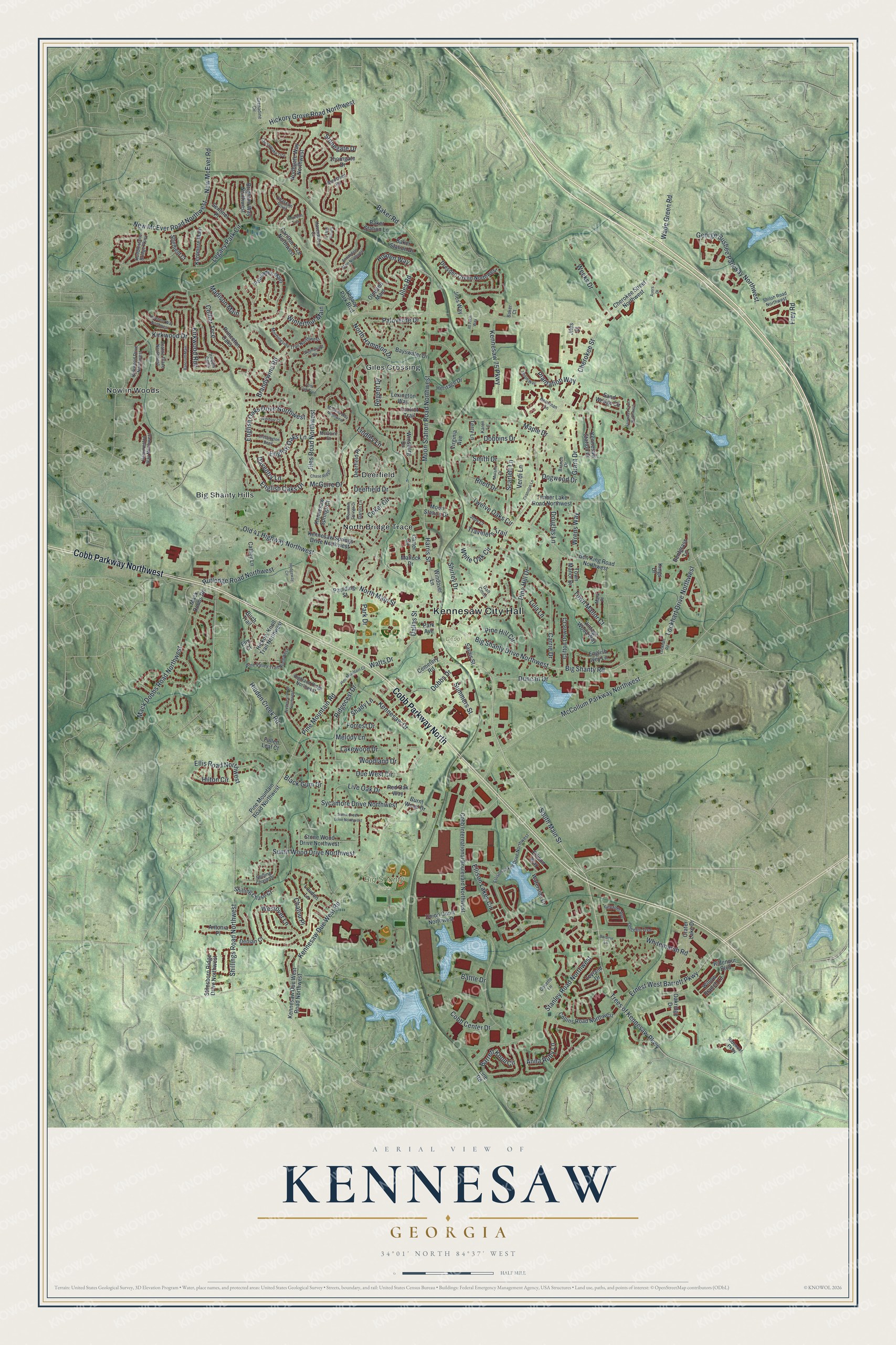
This beautifully detailed map of Kennesaw, Georgia was created in 2026 using aerial imagery combined with modern topographical, census, street and landmark data. It’s a one-of-a-kind view of Kennesaw that combines accurate data with a vintage aesthetic. The map shows every building in its true location, many of the roads carry their names, and the shaded topographic relief shows the shape of the land.
Explore an aerial view of Kennesaw, Georgia
On the map you’ll find Kennesaw City Hall, Big Shanty Hills, Deerfield, Giles Crossing, North Bridge Trace, Nowlin Woods, Big Shanty Park, and Depot Park, along with Cobb Parkway, Main Street, Cherokee Street, Trees of Kennesaw Parkway, and more. If you look closely you can even find your house accurately drawn in its correct location. Zoom in on the preview to look for yours.
Take a closer look at the Kennesaw map
Names on this map
These names are printed on this map.
Places: Kennesaw City Hall, Big Shanty Park, Depot Park, Big Shanty Hills, Deerfield, Giles Crossing, North Bridge Trace and Nowlin Woods.
Streets and roads: Cobb Parkway Northwest, Cobb Parkway North, South Main Street, Cherokee Street, Trees of Kennesaw Parkway, Big Shanty Drive Northwest, Wade Green Road, Big Shanty Road, Duncan Drive, English Oaks Drive Northwest, Lockhart Drive Northwest, McCollum Parkway Northwest.
More street names, A to Z
Annandale Main Northwest, Anna Ruby Lane, Antonia Place, Ayers Drive, Baker Court, Baker Road, Baker Station Drive, Baker Station Lane, Bancroft Main, Barbour Lane, Barrett Knoll Circle, Battle Drive, Bayswater Drive, Ben King Road Northwest, Bensman Lane, Bentgrass Lane, Birch Trail, Black Gum Drive, Branch Drive, Brandywine Road, Brighton Way Northwest, Burnt Wood Drive, Carillon Trce Northwest, Carrie Drive, Carter Circle, Cathey Lane, Cemetery Road, Chase Ridge, Chastain Point, Chatou Place, Cherokee Street Northwest, Chesapeake Trce, Claredon Trce, Clifton Downs Court, Cobb Center Drive, Cobb International Boulevard Northwest, Coker Circle, Collier Trce, Collins Road Northwest, Cosette Lane, Cranston Lane, Crater Lake Drive, Cressington Bend, Dallas Street, Darvin Lane, Daventry Lane, Deerfield Drive, Deerfield Place, Denian Court, Dobbins Drive, Dobbs Drive, Dogwood Drive, Dolcetto Trce, Douglas Lane, Dresden Green Northwest, Due West Circle, Ellison Lakes Circle, Ellison Lakes Drive Northwest, Ellison Way, Ellis Road Northwest, Elm Court, English Ivey Lane, English Oaks Drive, English Oaks Lane, Ernest West Barrett Parkway, Fairways Court Northwest, Fallen Leaf Court, Forrest Drive, Foxtrot Trail, Frey Road, Galt Cmns, George Busbee Parkway Northwest, Grant Drive, Greensward Vw, Grenadine Circle, Hampreston Way Northwest, Harris Street, Hartness Way Northwest, Havenwood Court, Hedgeway Circle, Heritage Drive, Hickory Grove Road Northwest, Hickory Knoll Trail Northwest, Hidden Creek Road, Highland Ridge Northwest, Hilton Circle, Holden Way, Huddlestone Bridge Parkway, Iroquis Cmns, Itt Tech Way, Jacobean Road, Jebs Court, Jiles Court, Jiles Road, Jiles Road Northwest, Jiles Way, Karen Lane, Kennesaw 75 Parkway, Kennesaw Drive, Kennesaw Due West Road, Kennesaw Due West Road Northwest, Kennesaw Springs Court, Kennesaw Springs Drive Northwest, Kennesaw Station Drive, Kentmere Main, Kings Drive, Kirkwood Drive, Kirkwood Drive Northwest, Kirkwood Run, Lakewood Drive, Legacy Park Boulevard, Legacy Park Circle, Lexington Way, Leyland Drive, Lindley Lane, Line Road, Live Oak Drive, Lockhart Road, Lone Oak Trail, Loudon Lane, Lula Lane, Mack Dobbs Road, Mack Dobbs Road Northwest, Madison Main, Maple Drive, Mark Place, Matlock Drive, McGuire Drive, McGuire Street, McGuire Way Northwest, Melanie Drive, Melody Lane, Moon Station Drive, Moon Station Road Northwest, Morningside Trail Northwest, Mountain Springs Drive, New McEver Road, New McEver Road Northwest, Northgate Way Northwest, North Hampton Drive, North Main Street, Oakridge Drive, Old 41 Highway Northwest, Olmsted Main, Palisades Main, Paloverde Drive, Park Avenue, Park Drive, Paulding Street, Pine Hill Circle, Pine Hill Drive, Pine Mountain Court, Pine Mountain Road, Pine Mountain Road Northwest, Pine Valley Trail Northwest, Plantation Way, Princeton Oaks, Red Oak Way, Regent Drive, Rhett Drive, Ridenour Boulevard, Ridenour Parkway, Ridgecest Drive, Rutledge Road Northwest, Sand Wedge Circle, Sardis Street, Scarlett Lane, Seattle Place Northwest, Sentinel Place, Shady Lane, Sheffield Court, Shilling Chase Court, Shilling Chase Drive, Shillings Road Northwest, Shiloh Road Northwest, Shiloh Way, Shirley Drive, Silvaner Avenue, Smith Drive, Spring Hill Lane, Stanley Road Northwest, Stilesboro Ridge Drive Northwest, Stonegate Drive, Stone Wood Drive Northwest, Sumit Creek Drive Northwest, Sumit Wood Drive Northwest, Summers Street, Sycamore Drive Northwest, Terry Lane, Thorngate Drive, Timber Lake Road Northwest, Town Manor Court, Town Manor Drive, Travelers Trail, Twelve Oaks Circle, Union Court Northwest, Verdi Lane, Vintage Wood Way, Virginia Avenue, Waterside Drive, Watts Drive, Weeks Drive, Wellcrest Drive Northwest, Westover Lane, Whitemarsh Road, White Oak Circle, Willow Branch Lane, Windover Lane, Windsor Court, Winsburg Drive, Winterthur Main, Woodland Drive, Wrens Way.
See it on a wall
The Kennesaw map as a framed print. Swipe for more.


This beautifully detailed map of Kennesaw makes an attractive addition to your office, library, or den, and it can even be used to teach children the geography and history of the area. It also makes a great gift for someone who left Kennesaw and still calls it home. When you’re done exploring, click here to get your copy of the Kennesaw map.