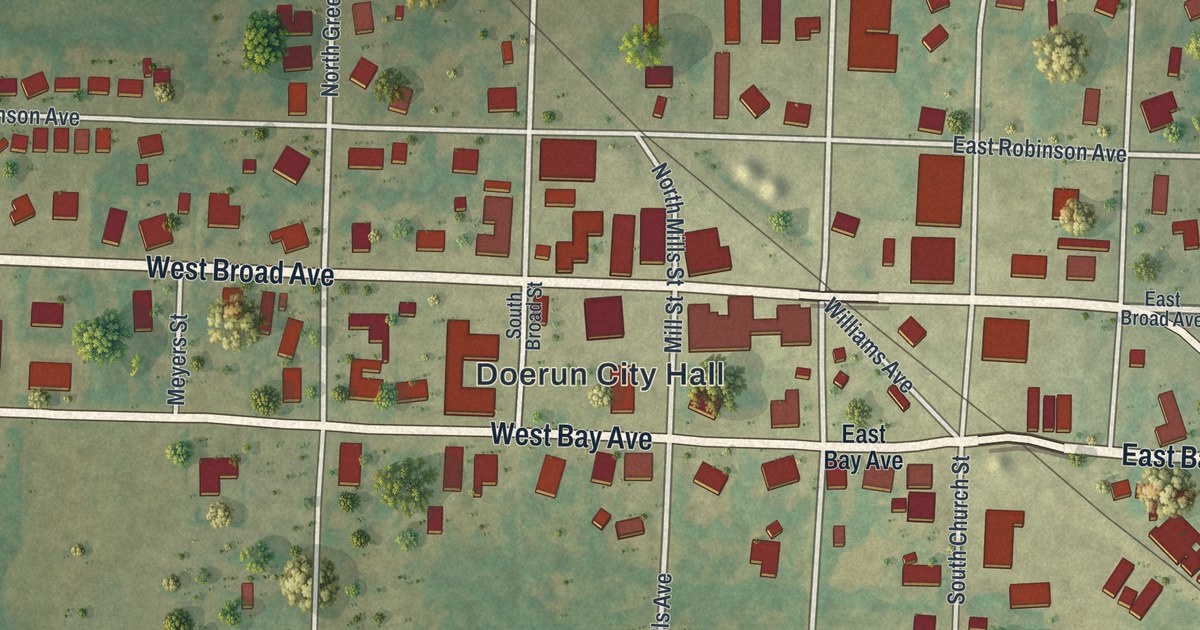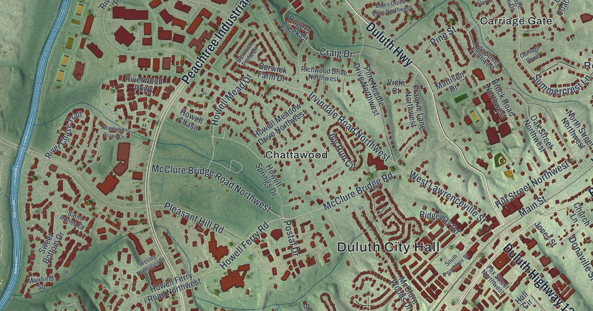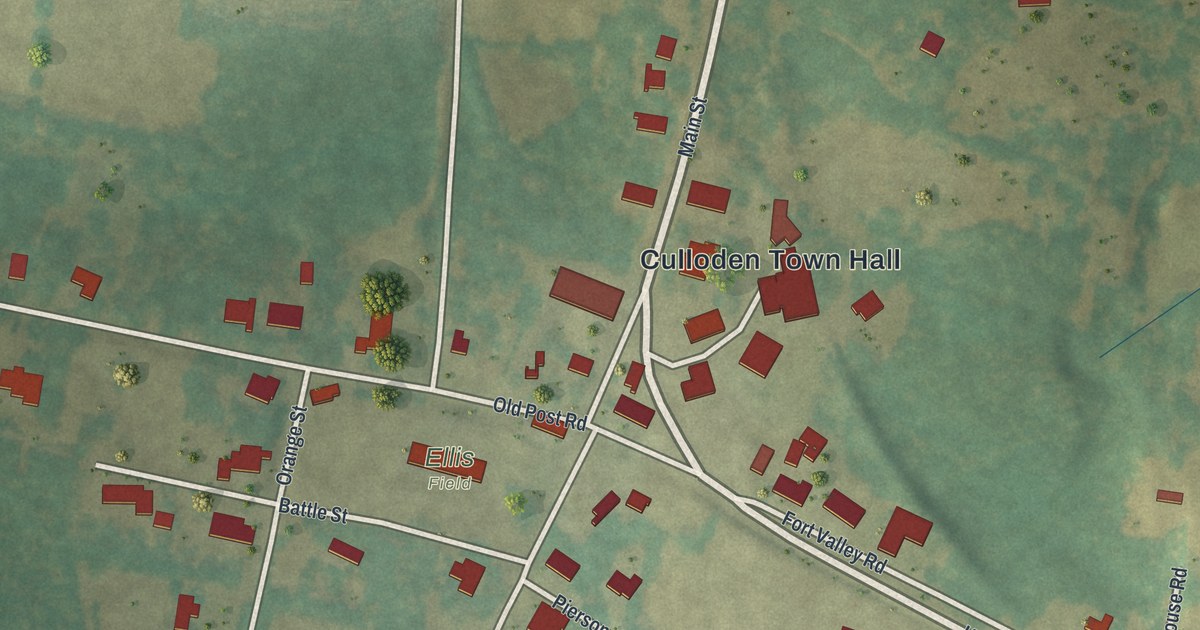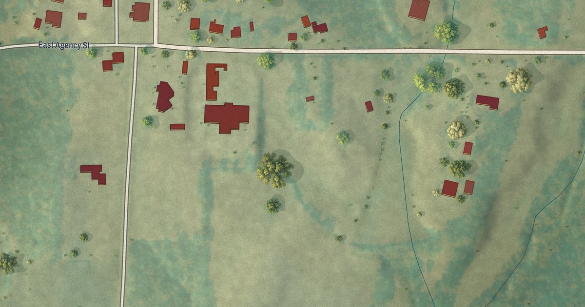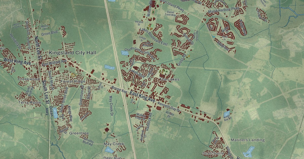
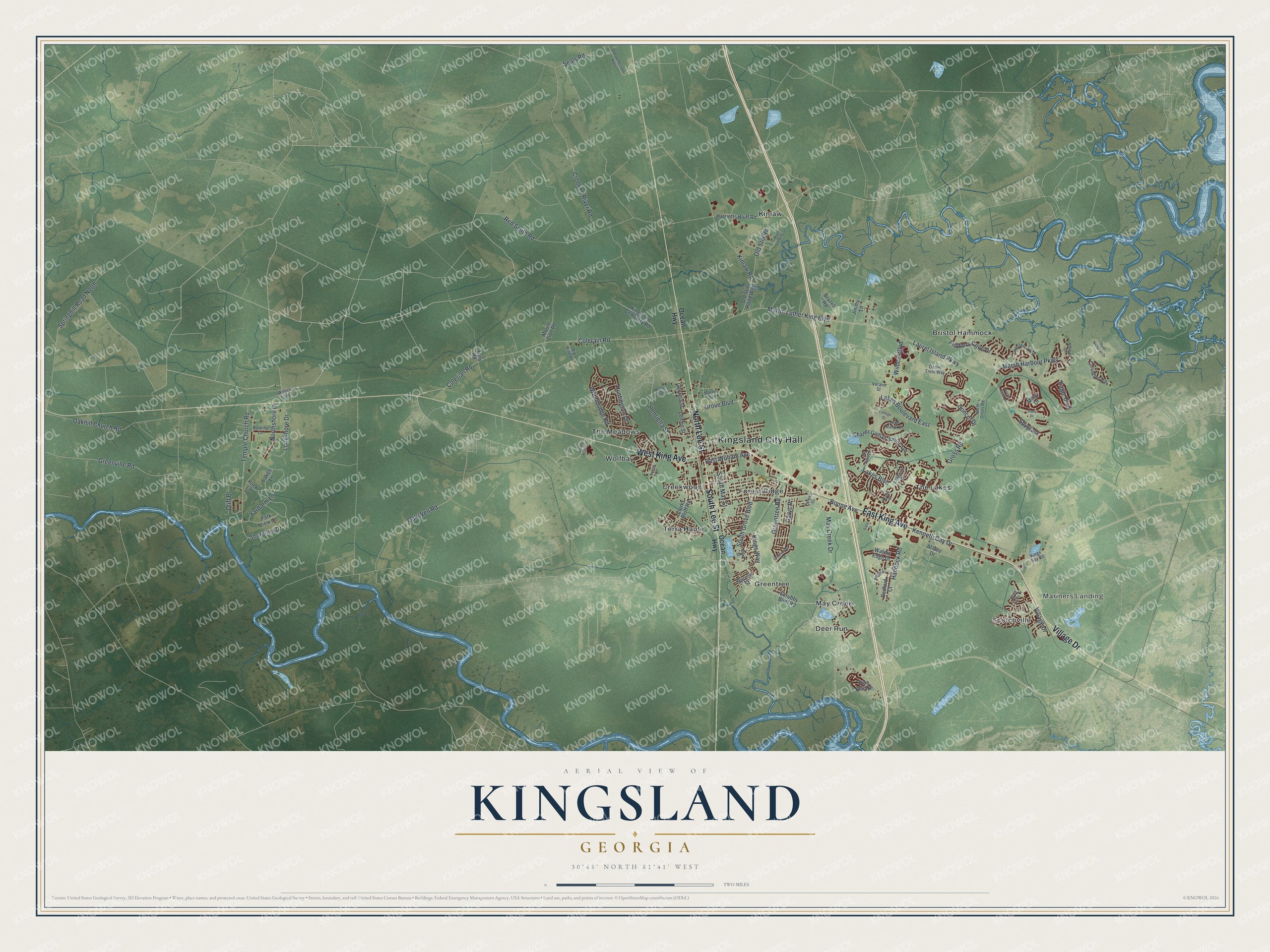
This beautifully detailed map of Kingsland, Georgia was created in 2026 using aerial imagery combined with modern topographical, census, street and landmark data. It’s a one-of-a-kind view of Kingsland that combines accurate data with a vintage aesthetic. The map shows every building in its true location, many of the roads carry their names, and the shaded topographic relief shows the shape of the land.
Explore an aerial view of Kingsland, Georgia
On the map you’ll find Kingsland City Hall, Scotchville, Mariners Landing, Bristol Hammock, Creekwood, and Deer Run, along with King Avenue, Village Drive, Lee Street, Ocean Highway, and more. If you look closely you can even find your house accurately drawn in its correct location. Zoom in on the preview to look for yours.
Did You Know?
The Florida Central and Peninsular Railroad arrived on Christmas Day 1893. Its tracks crossed land owned by the King family, so the settlement became known as Kings Land. The town was laid out in 1894. It was named for William Henry King, who first owned the site.
Take a closer look at the Kingsland map
Names on this map
These names are printed on this map.
Places: Kingsland City Hall, Scotchville, Mariners Landing, Bristol Hammock, Creekwood, Deer Run, Forest Ridge, Greentree, Kinlaw, May Creek, Terra Haute, The Lakes, The Meadows and Wolfbay.
Streets and roads: East King Avenue, Village Drive, North Lee Street, South Lee Street, West King Avenue, Martin Luther King Boulevard, Colerain Road, Colerian Road, East William Avenue, Laurel Island Parkway, Springhill Road North, Boone Avenue.
More street names, A to Z
Al Gay Drive, Arnold Street, Ashton Lane, Austin Ryan Drive, Azalea Court, Bark Street, Bedford Court, Big Pine Drive, Bowline Lane, Brazell Road, Carrington Way, Charles Gilman Junior Avenue, Clarks Bluff Road, College Street, Crooked River Road, Daniel Trent Way, Davis Drive, Eagle Boulevard, Easy Street, Fiddlers Cove Drive, Garys Place, Georgia Street, Greenacres Drive, Greentree Road, Greenville Road, Gross Road, Grove Boulevard, Haddock Road, Harrietts Bluff Road, Henrietta Street, Huntington Drive, Jimmy Foadrell, Jimmy Lane, Kenneth Gay Drive, Kings Bay Road, Kingsland Cemetery Road, Kings Way, Kinlaw Road, Lake Ashley Drive, Lake Manor Drive, Lakes Boulevard, Lakes Boulevard East, Lakeside Drive, Lakes Lane, Laurel Marsh Way, Lemon Street, Longshore Drive, Marsh Harbour Parkway, Mason Court Extension, Maybird Drive, May Creek Drive, Miller Drive, Morris Street, Mount Zion Road, North Gross Road, Northshore Drive, Oakhill Church Road, Oak Well Road, Ocean Highway, Old Jefferson Highway, Old Still Road, Old Still Road West, Oliff Place, Park View Lane, Pine Bluff Drive, Red Smith Road, River Landing Drive, Rock Lane, Ryan Nicholas Drive, Scrubby Bluff Road, Seals Road, Shoreline Drive, Soncel Drive, South Grove Boulevard, South May Street, Spruce Street, Spyglass, Temple Church Road, Teresa Court, Tony Road, Verano Street, Waters Edge Drive, Wildcat Boulevard, Willies Loop, Woodbridge Road, Wood Valley Drive, Yardarm Lane.
See it on a wall
The Kingsland map as a framed print. Swipe for more.


This beautifully detailed map of Kingsland makes an attractive addition to your office, library, or den, and it can even be used to teach children the geography and history of the area. It also makes a great gift for anyone with Kingsland roots. When you’re done exploring, click here to get your copy of the Kingsland map.