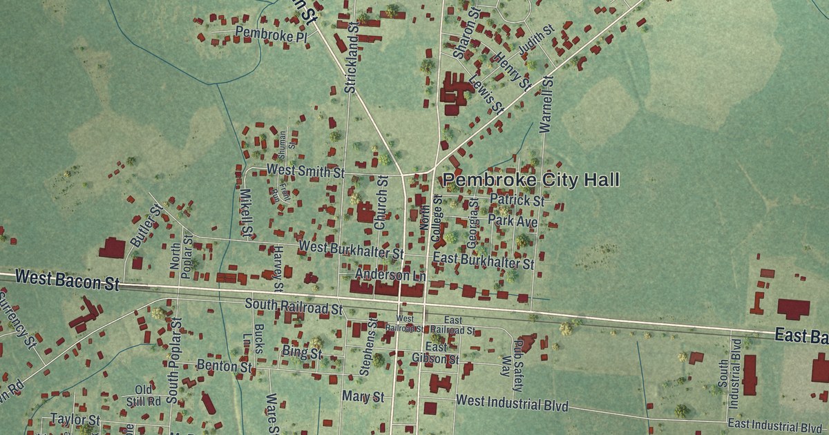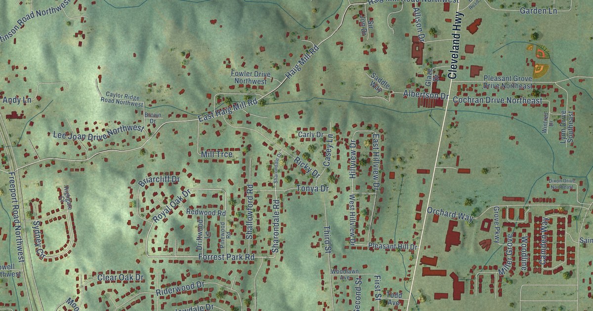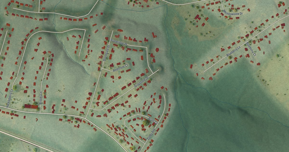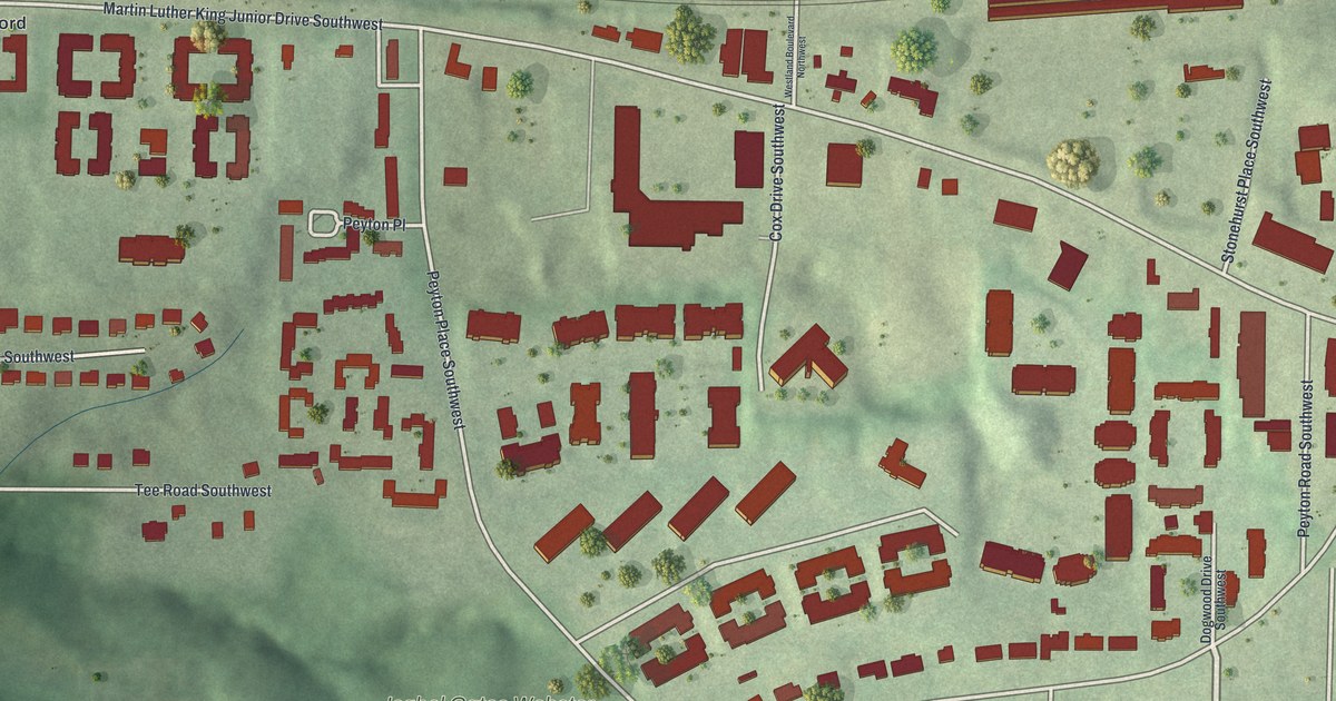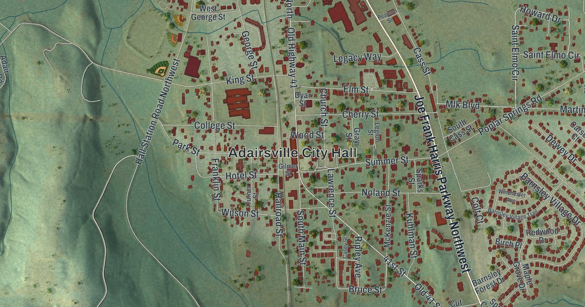
This beautifully detailed map of Adairsville, Georgia was created in 2026 using aerial imagery combined with modern topographical, census, street and landmark data. It’s a one-of-a-kind view of Adairsville that combines accurate data with a vintage aesthetic. The map shows every building in its true location, many of the roads carry their names, and the shaded topographic relief shows the shape of the land.
Explore an aerial view of Adairsville, Georgia
On the map you’ll find Adairsville City Hall, along with Joe Frank Harris Parkway, Adairsville Highway, Folsom Road, Old Dixie Highway, and more. If you look closely you can even find your house accurately drawn in its correct location. Zoom in on the preview to look for yours.
Did You Know?
On April 12, 1862, the steam locomotive called The General was chased out of Atlanta. The Great Locomotive Chase passed right through Adairsville. The town’s original train depot from that day still stands. Locals hold a three-day street festival in memory of the chase.
Take a closer look at the Adairsville map
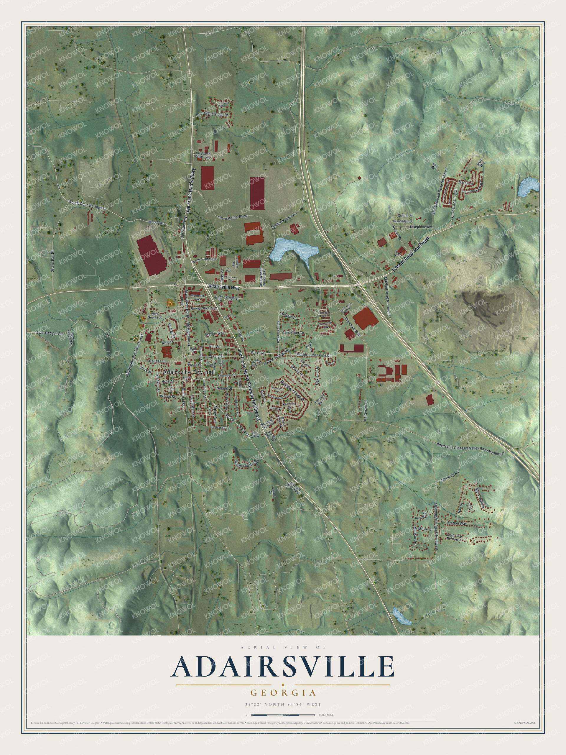
Names on this map
These names are printed on this map.
Places: Adairsville City Hall.
Streets and roads: Joe Frank Harris Parkway, Adairsville Highway, Joe Frank Harris Parkway Northwest, Folsom Road Southeast, Old Highway 41, Old Dixie Highway, 41st Street, Woody Road, Woody Road Northwest, Old 41 Street, Main Street North, Bruce Street.
More street names, A to Z
Adair Hollow Road, Adairsville Pleasant Valley Road Northwest, Adams Way Northwest, Barnsley Forest Drive, Barnsley Village Drive, Barnsley Village Trail, Best Parkway, Best Way Drive, Birch Place, Carr Road, Carson Court, Carson Road, Casey Street, Cashel Adare Boulevard, Cass Road, Cass Street, Castlemoor Loop, Celtic, Cherry Street, Church Street, Coffee Street, College Street, Colt Court, Commerce Parkway, Cross Tie Court, Cut Off Road, Darby Lane, Dewey Drive, Dyar Street, Eagle Lane, Elm Street, Finley Street, Franklin Street, George Street, George Street East, Georgia North Industrial Road, Gilmer Street, Grand Main Street, Gray Street, Hall Station Road Northwest, Hardwood Ridge Drive, Hardwood Ridge Lane, Hardwood Ridge Parkway, Hill Street, Hotel Street, Howard Drive, International Parkway, Iron Mountain Road Northwest, Josephine Avenue, King Street, Koowe Bv, Kortlyn Place Northwest, Kristen Court, Kuhlman Street, Laurel Cv, Lawrence Street, Legacy Way, Legion Street, Mala Way, Mallory Drive, Manning Mill Road Northwest, Manning Road, Maple Grove Drive, Martin Luther King Drive, Mauldin Circle, McKenzie Street, Mitchell Road Northwest, Mlk Boulevard, Morgan Drive, Noland Street, North Central Avenue, Oakland Drive, Park Street, Patterson Lane, Pearson Street, Piedmont Avenue, Pleasant Run Drive, Poplar Springs Road, Princeton Avenue, Princeton Boulevard, Princeton Place Drive, Rail Drive, Rail Overlook, Railroad Street, Redwood Drive, Ripley Avenue, Saint Elmo Circle, Shake Rag Road, Shamrock Chase, Soho Drive, South Cass Street, South Main Street, Sparks Street, Spring Creek Circle, Station Way, Summer Street, Trimble Hollow Road, Turner Street, Twin Bridges Road, West George Street, Wilson Street, Winchester Avenue, Woodland Bridge Drive, Wood Street.
See it on a wall
The Adairsville map as a framed print. Swipe for more.


This beautifully detailed map of Adairsville makes an attractive addition to your office, library, or den, and it can even be used to teach children the geography and history of the area. It also makes a great gift for anyone who grew up in Adairsville or moved away. When you’re done exploring, click here to get your copy of the Adairsville map.