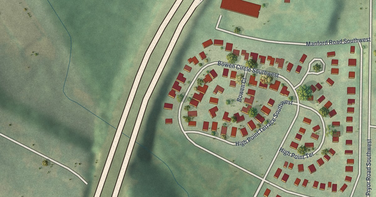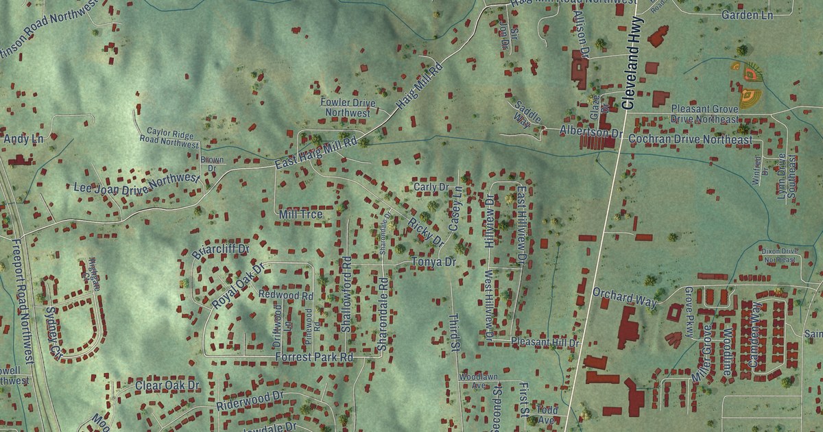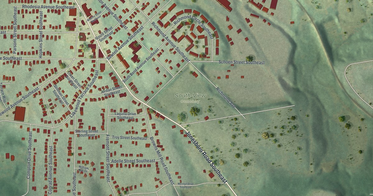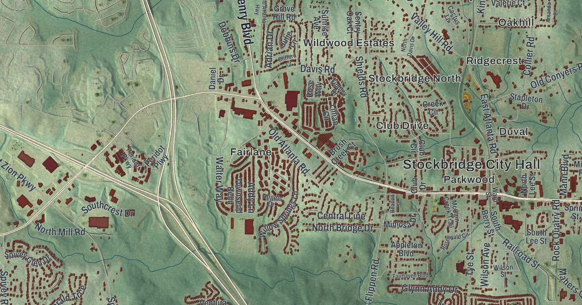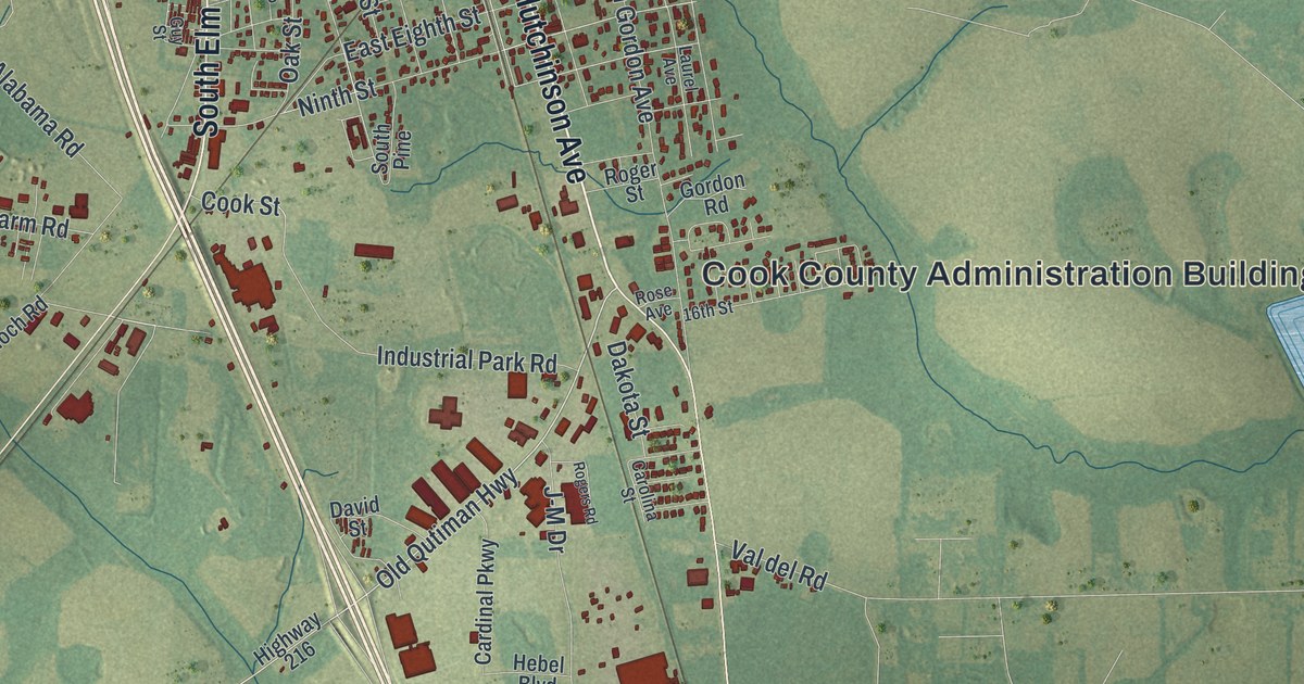
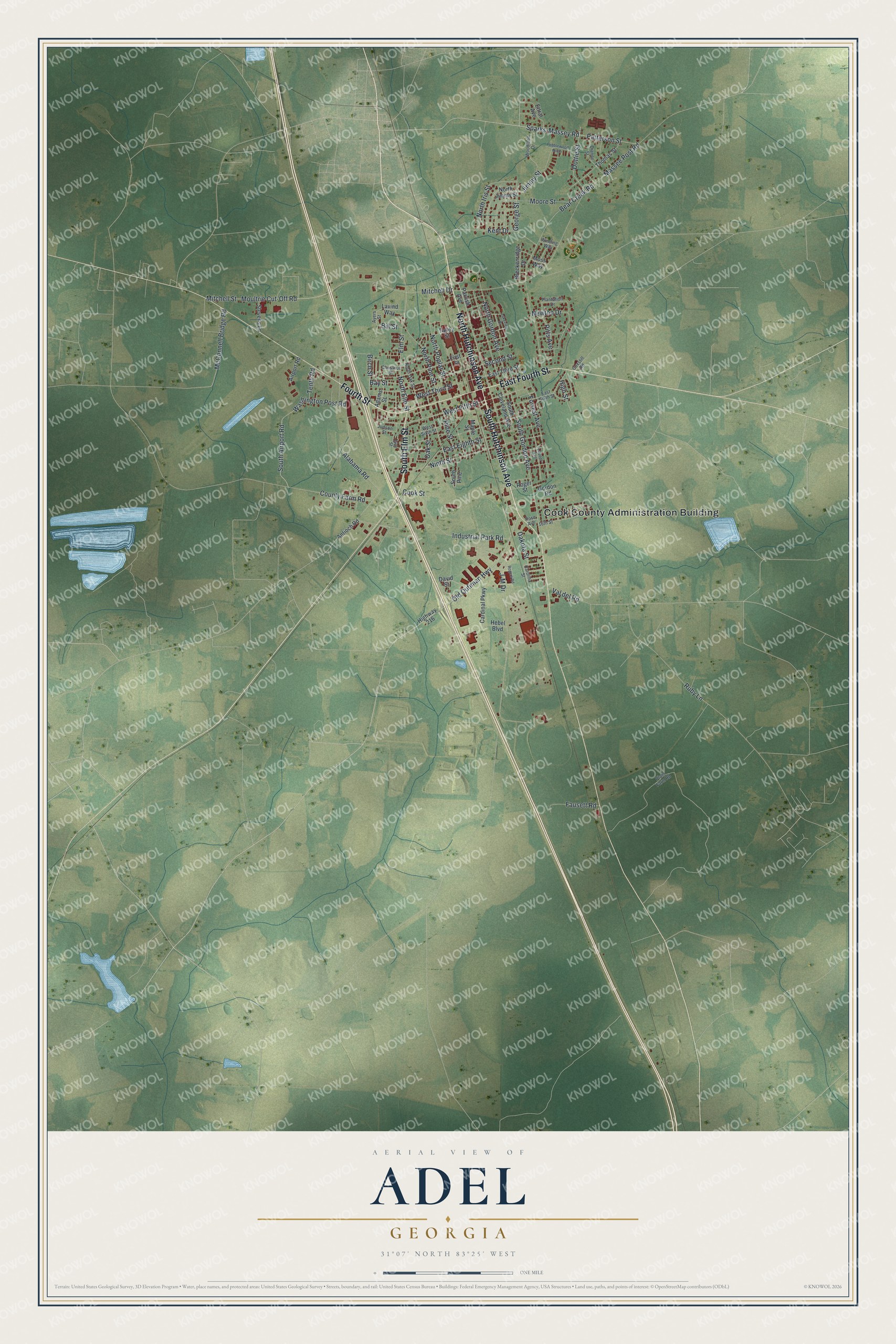
This beautifully detailed map of Adel, Georgia was created in 2026 using aerial imagery combined with modern topographical, census, street and landmark data. It’s a one-of-a-kind view of Adel that combines accurate data with a vintage aesthetic. The map shows every building in its true location, many of the roads carry their names, and the shaded topographic relief shows the shape of the land.
Explore an aerial view of Adel, Georgia
On the map you’ll find Cook County Administration Building, along with Hutchinson Avenue, Fourth Street, Elm Street, Old Qutiman Highway, and more. If you look closely you can even find your house accurately drawn in its correct location. Zoom in on the preview to look for yours.
Did You Know?
Adel was once called Puddleville. Its first postmaster, pioneer settler Joel J. Uncle Jack Parish, asked for a new name. He took the word Philadelphia and dropped its first four and last four letters. The new name Adel took effect on July 22, 1873. That’s from the U.S. Geological Survey place names records.
Take a closer look at the Adel map
Names on this map
These names are printed on this map.
Places: Cook County Administration Building.
Streets and roads: South Hutchinson Avenue, North Hutchinson Avenue, Fourth Street, South Elm Street, East Fourth Street, Old Qutiman Highway, Sparks-Massey Road, North Elm Street, West Fifth Street, Second Street, Massee Post Road, Bear Creek Road.
More street names, A to Z
16th Street, Adams Street, Airport Road, Alabama Road, Antioch Road, Ayers Street, Bay Street, Bill Street, Birch Street, Breckenridge Drive, Cardinal Parkway, Carolina Street, Chestnut Street, Cook Street, County Farm Road, Coxstill Road, Dakota Street, David Street, Dianne Street, Dottie Street, East Eighth Street, East Sixth Street, East Third Street, Elm Street, Ettral Avenue, Fausett Road, First Street, Forrest Avenue, George Street, Gordon Road, Guy Street, Hebel Boulevard, High Street, Highway 216, Industrial Park Road, J-M Drive, Jimmy Street, Judson Street, Kent Drive, Lakeview Drive, Laurel Avenue, Lavind Way, Maple Street, McConnell Bridge Road, Mitchell Drive, Mitchell Street, Moore Street, Moss Way, Moultrie Cut-Off Road, Newton Drive, Ninth Street, North Gordon Avenue, North Iris Street, North Jimmy Street, North Oak Street, North Pine Street, North Poplar Street, Oak Street, Parrish Avenue, Patterson Street, Pebblewood North, Pine Street, Pitts Avenue, Plantation Drive, Plant Farm Road, Rogers Road, Roger Street, Rose Avenue, Ruby Lane, South Airport Road, South Cleveland Avenue, South Gordon Avenue, South Pine, Stevens Lane, Talley Street, Tenth Road, Thomas Street, Val del Road, Washington Post Road, West Sixth Street, West Third Street, Winding Way, Woodland Drive.
See it on a wall
The Adel map as a framed print. Swipe for more.


This beautifully detailed map of Adel makes an attractive addition to your office, library, or den, and it can even be used to teach children the geography and history of the area. It also makes a great gift for anyone with Adel roots. When you’re done exploring, click here to get your copy of the Adel map.