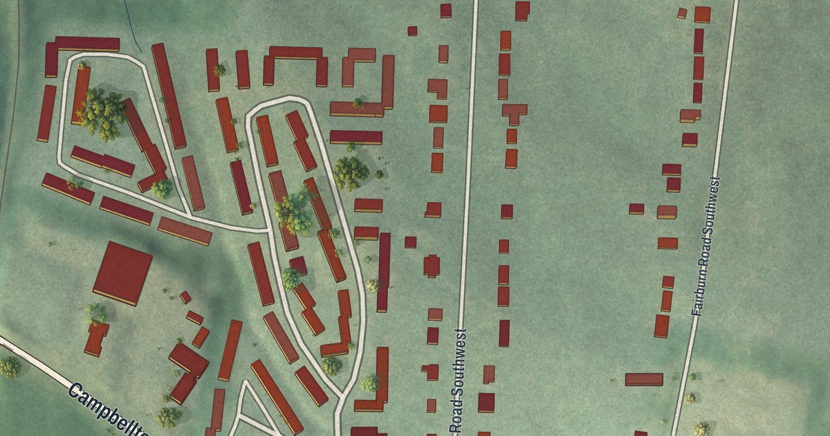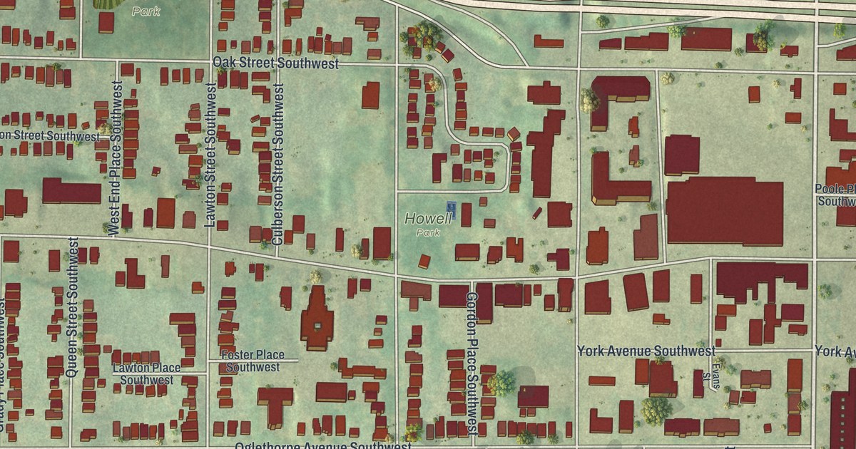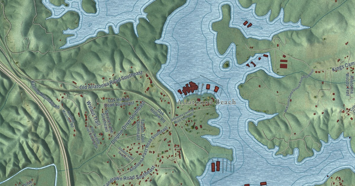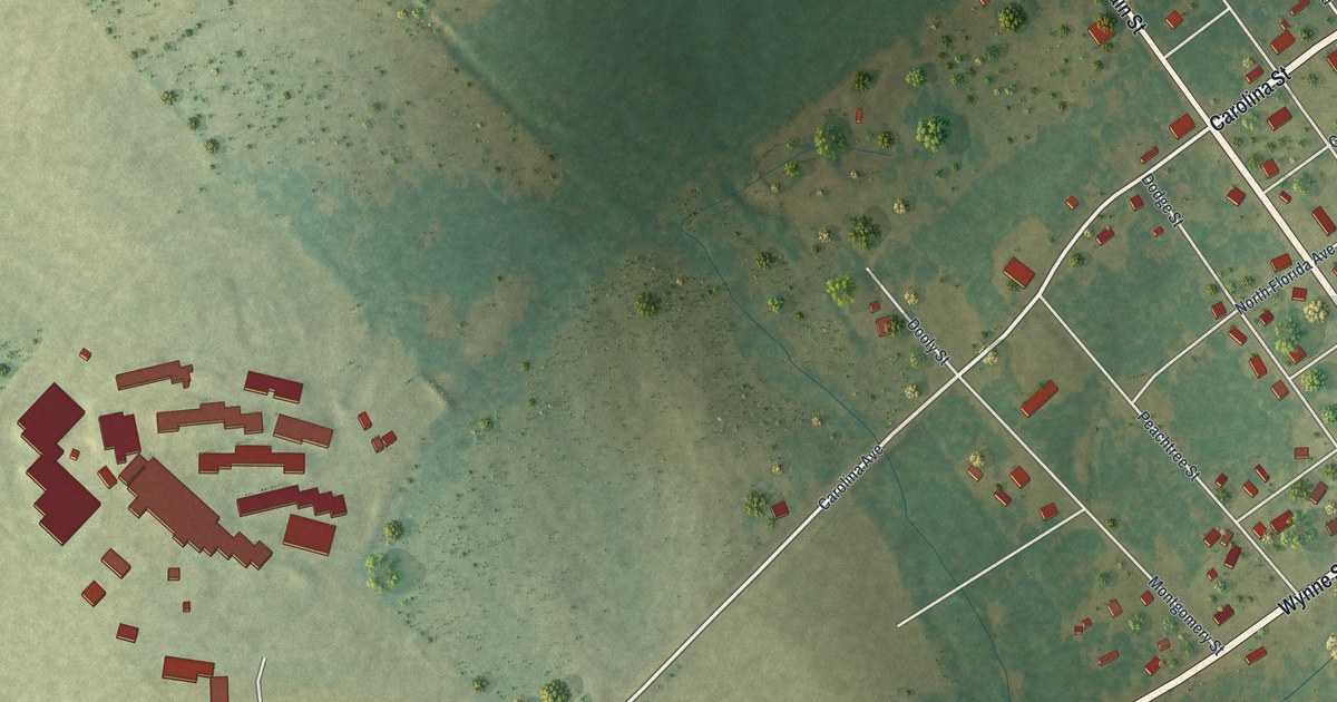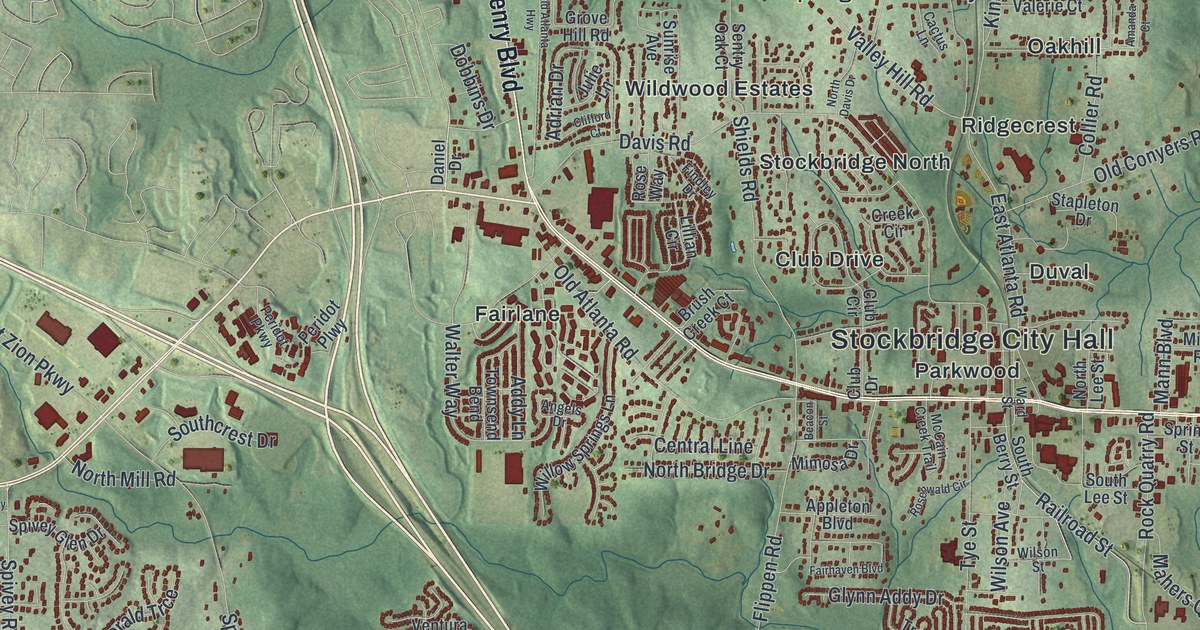
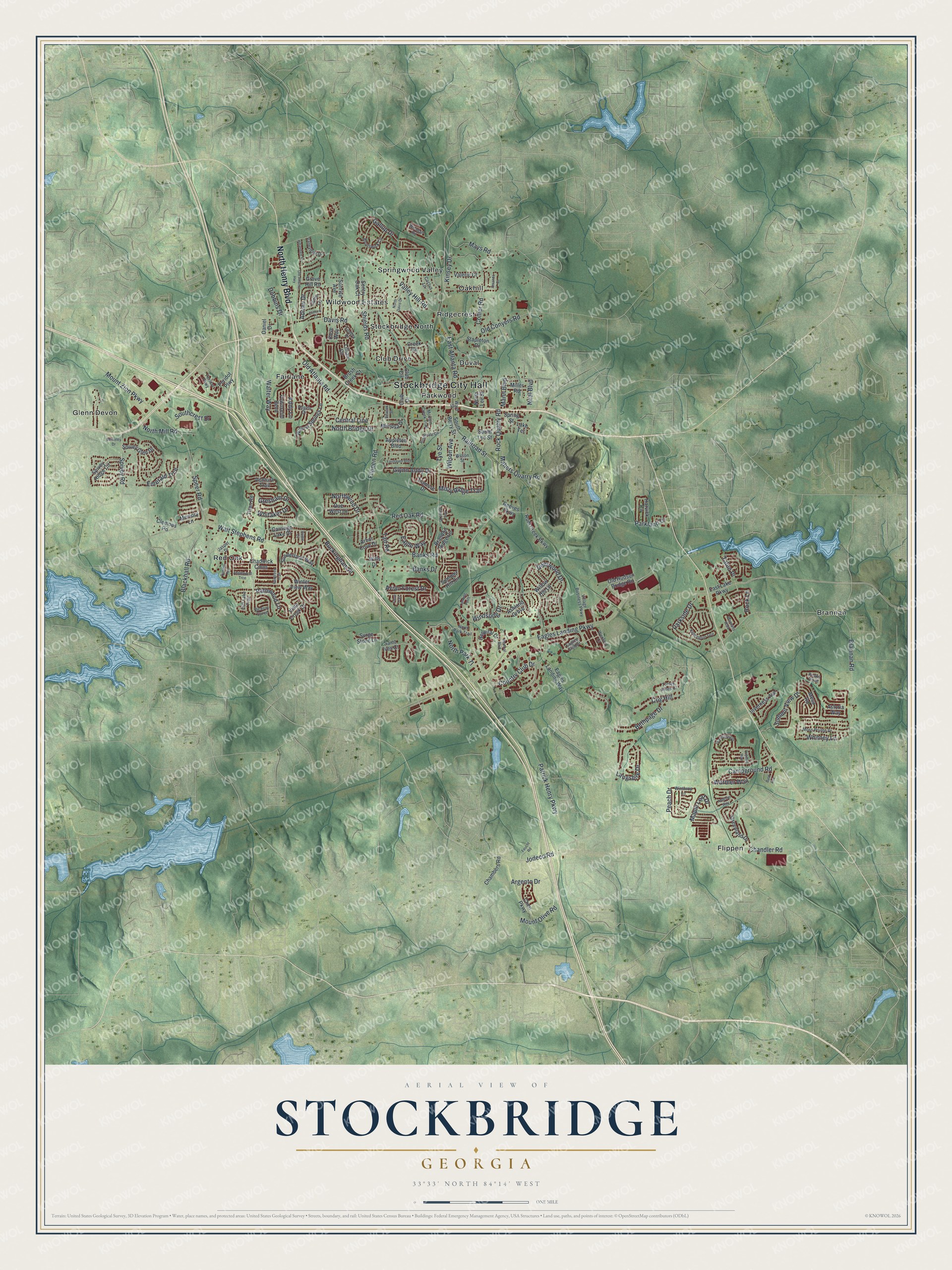
This beautifully detailed map of Stockbridge, Georgia was created in 2026 using aerial imagery combined with modern topographical, census, street and landmark data. It’s a one-of-a-kind view of Stockbridge that combines accurate data with a vintage aesthetic. The map shows every building in its true location, many of the roads carry their names, and the shaded topographic relief shows the shape of the land.
Explore an aerial view of Stockbridge, Georgia
On the map you’ll find Stockbridge City Hall, Brannan, Duval, Fairlane, and Flippen, along with Henry Boulevard, Patrick Henry Parkway, Jodeco Road, Campground Road, Club Drive, and more. If you look closely you can even find your house accurately drawn in its correct location. Zoom in on the preview to look for yours.
Did You Know?
In 1881 a railroad was planned between Macon and Atlanta. Landowners at Old Stockbridge asked too high a price for their land. So John W. Grant and George W. Adair of Atlanta purchased a nearby tract and sold lots cheaply. The railroad built its depot there, and the new town grew around it.
Take a closer look at the Stockbridge map
Names on this map
These names are printed on this map.
Places: Stockbridge City Hall, Brannan, Club Drive, Duval, Fairlane, Flippen, Glenn Devon, Oakhill, Parkwood, Red Oak, Ridgecrest, Springwood Valley, Stockbridge North and Wildwood Estates.
Streets and roads: North Henry Boulevard, Patrick Henry Parkway, Jodeco Road, Campground Road, Rock Quarry Road, Eagles Landing Parkway, Walt Stephens Road, Flippen Road, Davis Road, East Atlanta Road, Valley Hill Road, Country Club Drive.
More street names, A to Z
Addison Way, Addy Lane, Adrian Drive, Amanda Court, Angels Drive, Anglewood Trce, Appleton Boulevard, Arbor Cove Drive, Argento Drive, Ashland Grove, Astoria Way, Avian Forest Drive, Bald Avenue, Banks Drive, Banks Road, Bay Court Drive, Beacon Street, Berkeley Drive, Bethpage Drive, Blackhall Road, Brandon Ridge Circle, Brannan Road, Brannans Walk, Bridle Cv, Brunswick Circle, Brush Creek Court, Buckingham Place, Cactus Lane, Carriage Lake Drive, Central Line, Chadwick Cmns, Chambers Road, Chandler Road, Chen Parkway, Clemons Road, Cliff Lake Trail, Clifford Court, Club Circle, Cog Hill, Collier Road, Creek Circle, Daniel Drive, Deerwood Drive, Dobbins Drive, Due West Drive, Eagles Club Drive, Eagles Landing Way, Eagle Way, East Lake Parkway, Emerald Trce, Fairgreen Trail, Fairhaven Boulevard, Feucht Road, Findley Drive, Gallup Drive, Glynn Addy Drive, Grandiflora Drive, Greenland Drive, Gresham Drive, Grove Hill Road, Harvick Circle, Hillandale Drive, Hospital Drive, Inverness Avenue, Jasper Drive, Julie Lane, Kensington Trce, Kinsey Drive, Lake Terrace, Landing Point, Langshire Drive, Lillian Circle, Mahers Quarry Road, Mann Boulevard, Maple Leaf Drive, Mays Road, McCain Creek Trail, Medical Boulevard, Memory Lane, Mesa Road, Miller Road, Mimosa Drive, Misty Ridge Trail, Moss Pointe Drive, Mount Olive Road, Mount Zion Parkway, Neal Boulevard, North Bridge Drive, North Davis Drive, North Lee Street, North Mill Road, North Park Tl, North Park Trail, Northwind Drive, Old Atlanta Highway, Old Atlanta Road, Old Conyers Road, Old Hudson Bridge Road, Parkland Drive, Parkside Drive, Pathwood Lane, Peach Drive, Peaks Point, Peridot Parkway, Peridot Plwy, Railroad Street, Red Oak Road, Reeves Parkway, Rock Lane, Rosenwald Circle, Rose Way, Rum Creek Parkway, Saint Ives Court, Sentry Oak Court, Shields Road, South Berry Street, Southcrest Drive, South Lee Street, Speer Road, Spivey Glen Drive, Spivey Ridge Circle, Spivey Road, Spring Street, Stapleton Drive, Summer Hill Circle, Summit View Drive, Sunderland Way, Sunrise Avenue, Surge Stone Lane, Tait Road, Talon Place, Titan Road, Torre Trail, Torrey Pines Court, Townsend Bend, Tramore Drive, Tripetal Way, Tumble Run, Tye Street, Valerie Court, Valleydale Drive, Ventura Trail, Viceroy Curve, Village Business Parkway, Vista Creek Drive, Walter Way, Warbler Way, Ward Street, Wexford Court, Whitaker Drive, Whitney Lane, Willow Hill Lane, Willow Springs Lane, Wills Drive, Wilson Avenue, Wilson Street, Windsong Drive, Winter View Way, Winthrop Lane, Woodall Road.
See it on a wall
The Stockbridge map as a framed print. Swipe for more.


This beautifully detailed map of Stockbridge makes an attractive addition to your office, library, or den, and it can even be used to teach children the geography and history of the area. It also makes a great gift for anyone who grew up in Stockbridge or moved away. When you’re done exploring, click here to get your copy of the Stockbridge map.