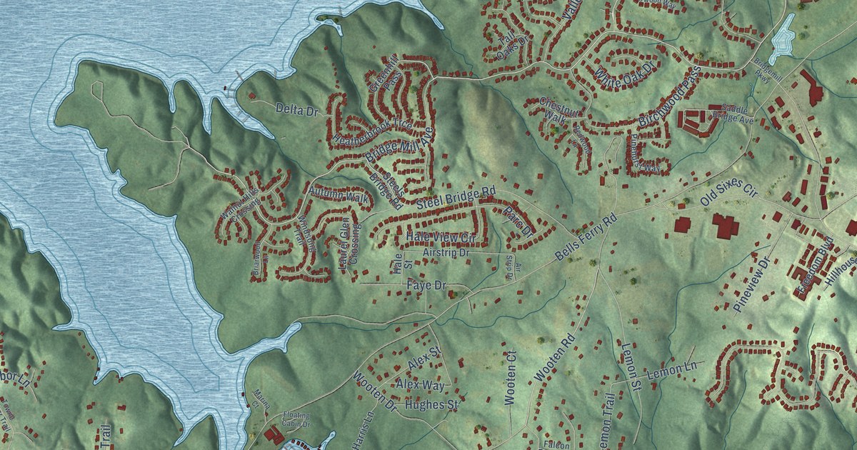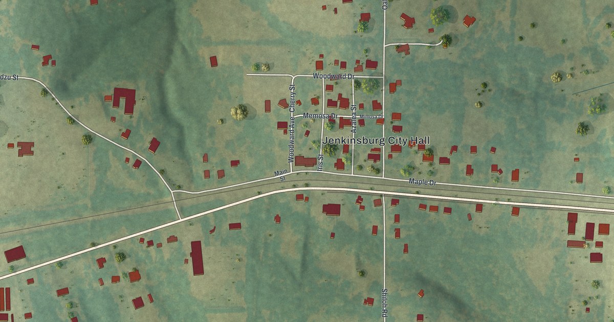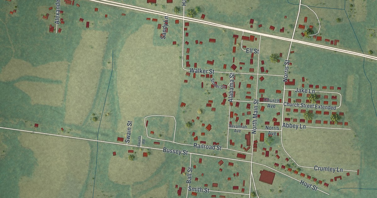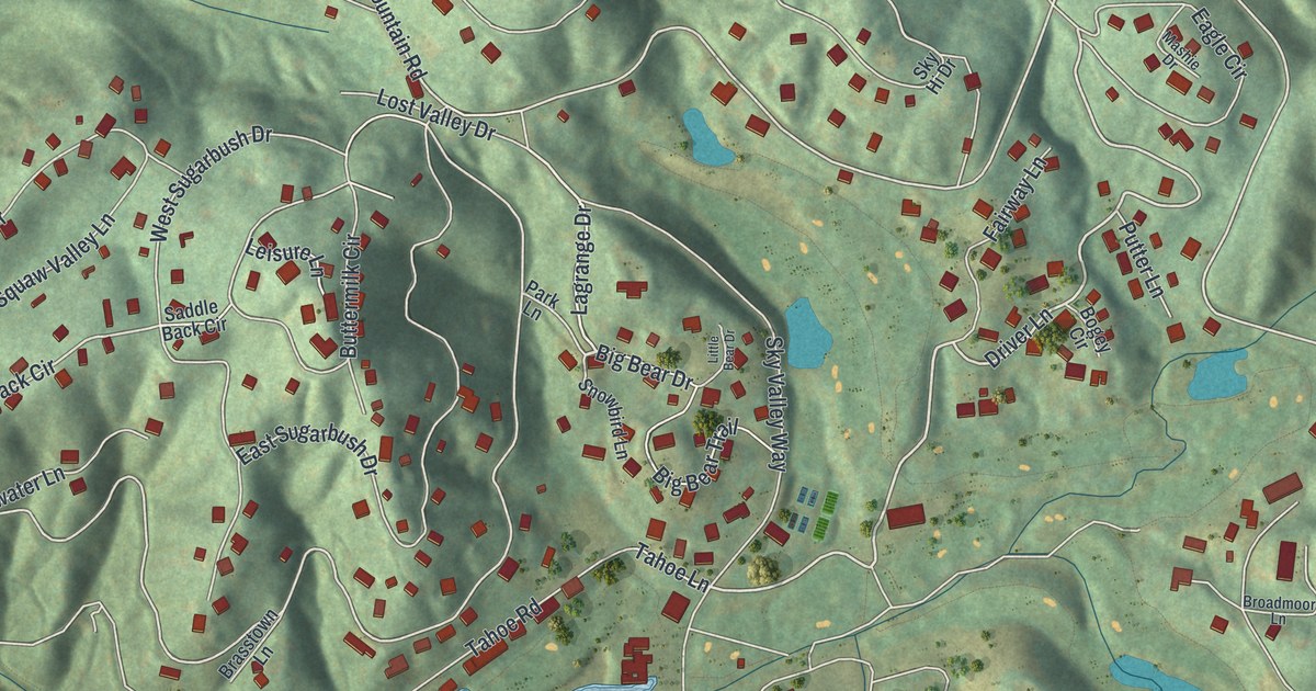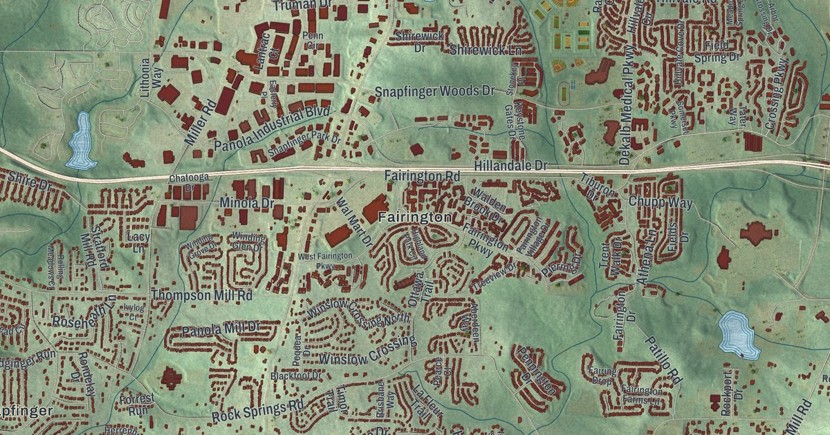
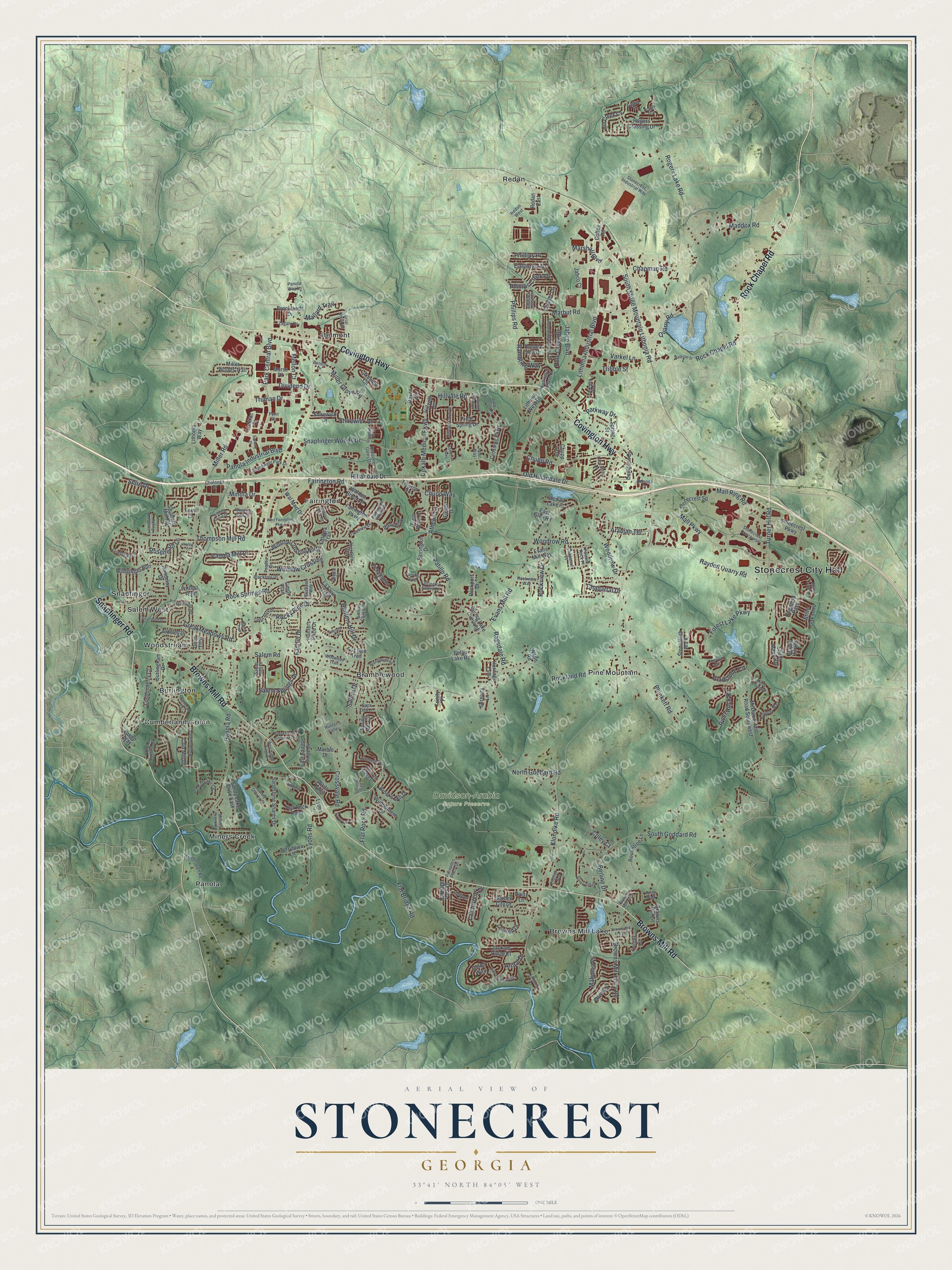
This beautifully detailed map of Stonecrest, Georgia was created in 2026 using aerial imagery combined with modern topographical, census, street and landmark data. It’s a one-of-a-kind view of Stonecrest that combines accurate data with a vintage aesthetic. The map shows every building in its true location, many of the roads carry their names, and the shaded topographic relief shows the shape of the land.
Explore an aerial view of Stonecrest, Georgia
On the map you’ll find Stonecrest City Hall, Belmont, Bramblewood, Browns Mill Lake, Burlington, Cumberland Green, and Davidson-Arabia Nature Preserve, along with Covington Highway, Rock Chapel Road, Browns Mill Road, Snapfinger Road, and more. If you look closely you can even find your house accurately drawn in its correct location. Zoom in on the preview to look for yours.
Did You Know?
Stonecrest is a young city. Voters approved it in the November 2016 general election. In March 2017, residents elected a mayor and five city council members. The city took its name from the Mall at Stonecrest. It is also home to the Arabia Mountain National Heritage Area.
Take a closer look at the Stonecrest map
Names on this map
These names are printed on this map.
Places: Stonecrest City Hall, Davidson-Arabia Nature Preserve, Belmont, Bramblewood, Browns Mill Lake, Burlington, Cumberland Green, Fairington, Miners Creek, Panola, Pine Mountain, Redan, Salem West, Snapfinger and Woodstream.
Streets and roads: Covington Highway, Rock Chapel Road, Browns Mill Road, Snapfinger Road, Evans Mill Road, Panola Road, Klondike Road, Lithonia Industrial Boulevard, Rock Springs Road, Rockland Road, South Goddard Road, Rogers Lake Road.
More street names, A to Z
Aberdeen Way, Amanda Drive, Andrew Lane, Annie Walk, Arabian Terrace, Arbor Crossing Drive, Ardsley Drive, Ariaal Drive, Athena Lane, Belair Lake Road, Belmont Ridge Drive, Benton Drive, Berline Drive, Blackfoot Drive, Bowie Drive, Bramblevine Circle, Brenda Ann Drive, Briar Knoll Road, Brisbane Way, Brooklands Drive, Brooks Mill Drive, Browns Mill Ferry Drive, Browns Mill Ferry Road, Browns Mill Lane, Browns Mill Trce, Burlingham Drive, Button Gate Court, Cain Mill Drive, Cape Cod Lane, Carriage Park Drive, Cedar Rock Drive, Chaparral Drive, Chaparral Place, Chapman Road, Charles Cudd Court, Charter Lane, Chatooga Drive, Chupp Road, Chupp Trce, Chupp Way, Coffee Road, Coley Court, Crossing Parkway, Crossvale Road, Cumbrian Lane, Daisy Lane, Davidson Drive, Deer Trce, Dekalb Medical Parkway, Dividend Drive, Dogwood Pass, Eastbriar Drive, Easterly Place, East Glen Road, East Saddle Ridge Drive, English Loop, Evans Mill Way, Fairing Drop, Fairington Drive, Fairington Farms Lane, Fairington Parkway, Fairington Road, Fairington Village Drive, Fannin Drive, Fields Drive, Field Spring Drive, Flat Bridge Road, Flat Rock Point, Flat Rock Road, Forest Lake Parkway, Forrest Run, Fox Den Trail, Gallier Street, Garden City Drive, Gladstone Circle, Golod Way, Great Meadows Road, Green Way, Hayden Quarry Road, Heritage Ests, Herrenhut Road, Highland Park Circle, Hillandale Drive, Hill Creek Cv, Hillvale Circle, Hillvale Cove Drive, Hillvale Road, Housworth Drive, Hunter's Valley, Hunters Chase Court, Hunters Hill Drive, Hunters Pace Drive, Idlewood Place, Ivylog Court, Jabco Boulevard, Jabco Court, Jackam Ridge Court, Keystone Gates Drive, Lacy Lane, La Fleur Trail, Lakeview Circle, Lakeview Crk, Lancaster Drive, Lantern Court, Lantrac Court, Latchwood Drive, Leverett Drive, Lionshead Circle, Lithonia Way, Lithonia West Drive, Londonderry Court, Lynnonhall Court, Lyons Circle, Lyons Road, Maddox Road, Mahonia Place, Mallard Trail, Mall Parkway, Mall Ring Road, Maple Hill Road, Marble Drive, Marbut Road, Marshall Boulevard, McDaniel Mill Road Southwest, Mc Donough Road, Meadow Spring Drive, Mellon Court, Miller Grove Road, Miller Road, Miller Woods Trail, Miners Creek Road, Minola Drive, Morse Drive, Moss Stone Drive, North Goddard Road, Oaktree Trail, Old Hillandale Drive, Old Lantern Drive, Ottawa Trail, Painted Rock Place, Palisades Place Drive, Panola Industrial Boulevard, Panola Lake Circle, Panola Mill Drive, Panola Way Lane, Park Central Boulevard, Parkway Drive, Parkway Trail, Patillo Road, Pearce Court, Penn Circle, Pennington Drive, Pequea Drive, Phillips Creek Drive, Phillips Place, Phillips Road, Piering Drive, Plunkett Road, Pole Creek Drive, Quarry Road, Ragsdale Road, Railroad Street, Rambling Way, Raven Circle, Redan East, Redan West, Reynard Trail, River Overlook Way, River Rock Road, Rockport Drive, Rockview Drive, Rockview Way, Rocky Pine Drive, Rogers Crossing Drive, Rogers Trce, Rolling Meadows Court, Rondelay Drive, Rosebay Way, Roseheath Lane, Roundtree Lane, Salem Drive, Salem Hills Drive, Salem Road, Salem Springs Drive, Sandstone Shares Drive, Sandy Lake Drive East, Sandy Shores Court, Savoy Chase Crossing Drive, Sawgrass Circle, Serenity Lane, Shady Maple Drive, Shire Drive, Shirewick Drive, Shirewick Lane, Snapfinger Park Drive, Snapfinger Woods Drive, Somerset Parkway, South Stone Mountain Lithonia Road, Spencer Trail, Spicy Cedar Lane, Spring Lake Overlook, Spring Mill Circle, Spring Street, Stewart Lake Court, Stonebridge Creek Drive, Stonecrest Concourse, Stonecrest Industrial Way, Stonecrest Parkway, Stonecrest Square, Stonekey Place, Stoneleigh Walk, Stratford Mill Road, Tater Way, Terrytown Lane, Thompson Mill Road, Tiburon Drive, Timor Trail, Treeview Drive, Trent Walk Drive, Tribble Street, Trinity Place, Truman Drive, Turner Hill Road, Varkel Lane, Wade Road, Waits Point, Walden Brook Drive, Wal Mart Drive, Wellington Chase Court, West Fairington Parkway, West Saddle Ridge Drive, White Oak Loop, Wildginger Run, Wildwood Trail, Winchester Place, Windermere Drive, Winding Glen Drive, Winding Grove Drive, Winslow Crossing, Winslow Crossing North, Woodrow Drive, Woodrow Road, Zagato Drive, Zinzendorf Drive.
See it on a wall
The Stonecrest map as a framed print. Swipe for more.


This beautifully detailed map of Stonecrest makes an attractive addition to your office, library, or den, and it can even be used to teach children the geography and history of the area. It also makes a great gift for anyone with Stonecrest roots. When you’re done exploring, click here to get your copy of the Stonecrest map.