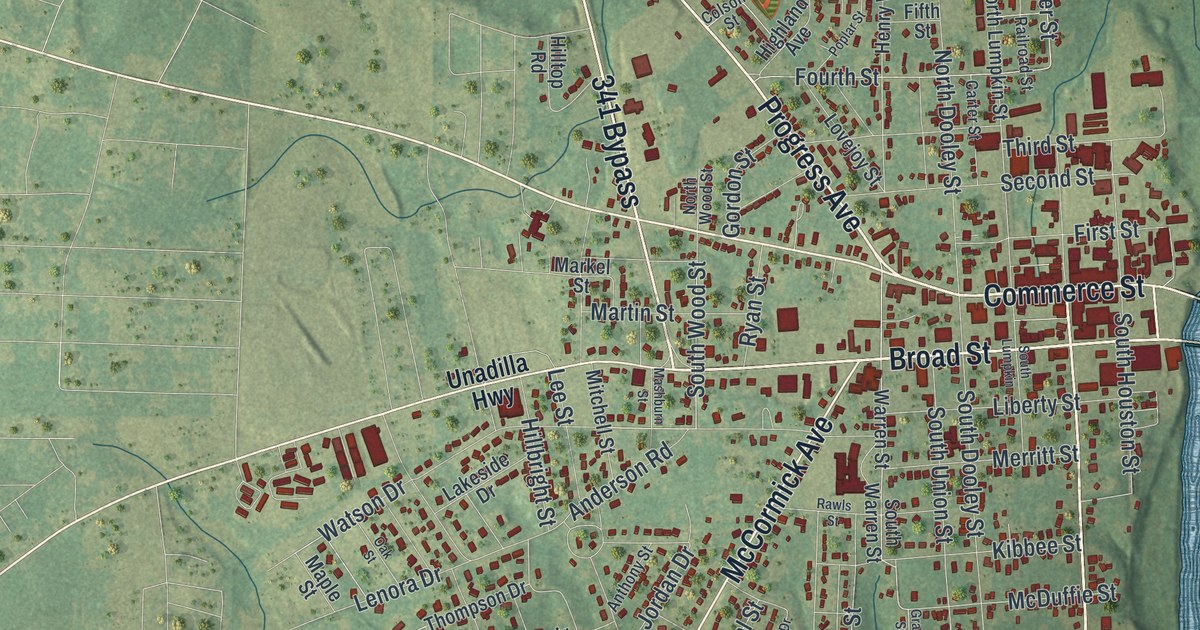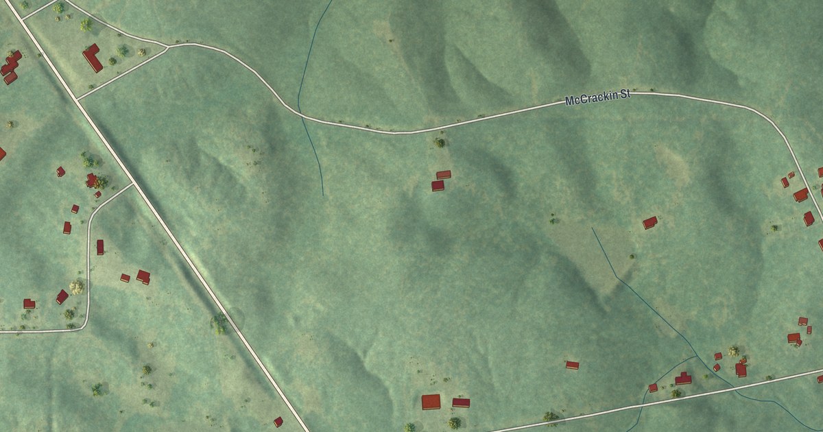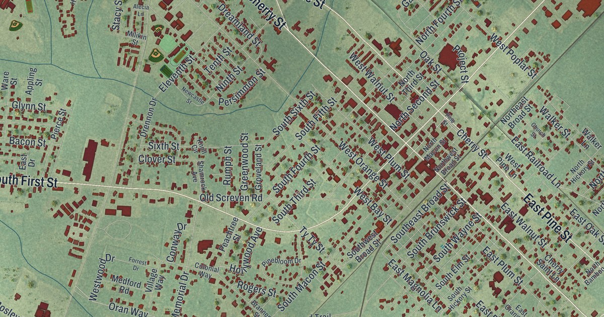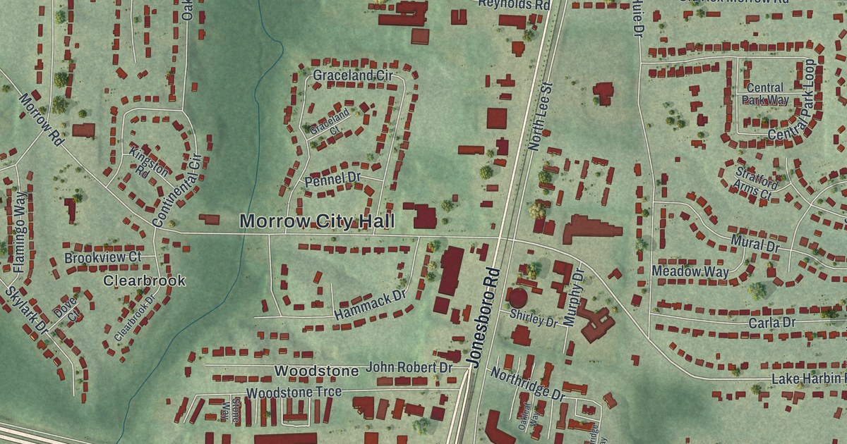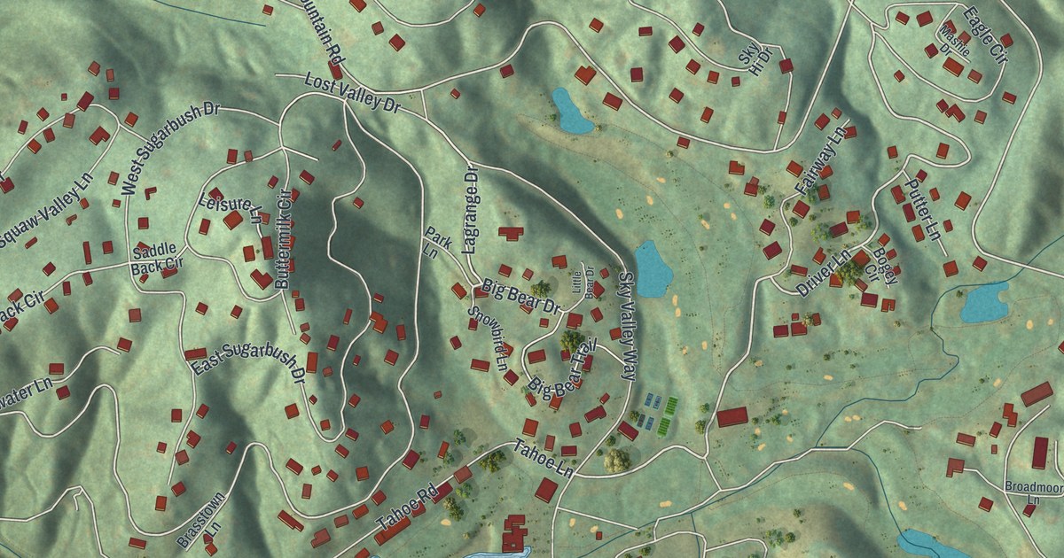
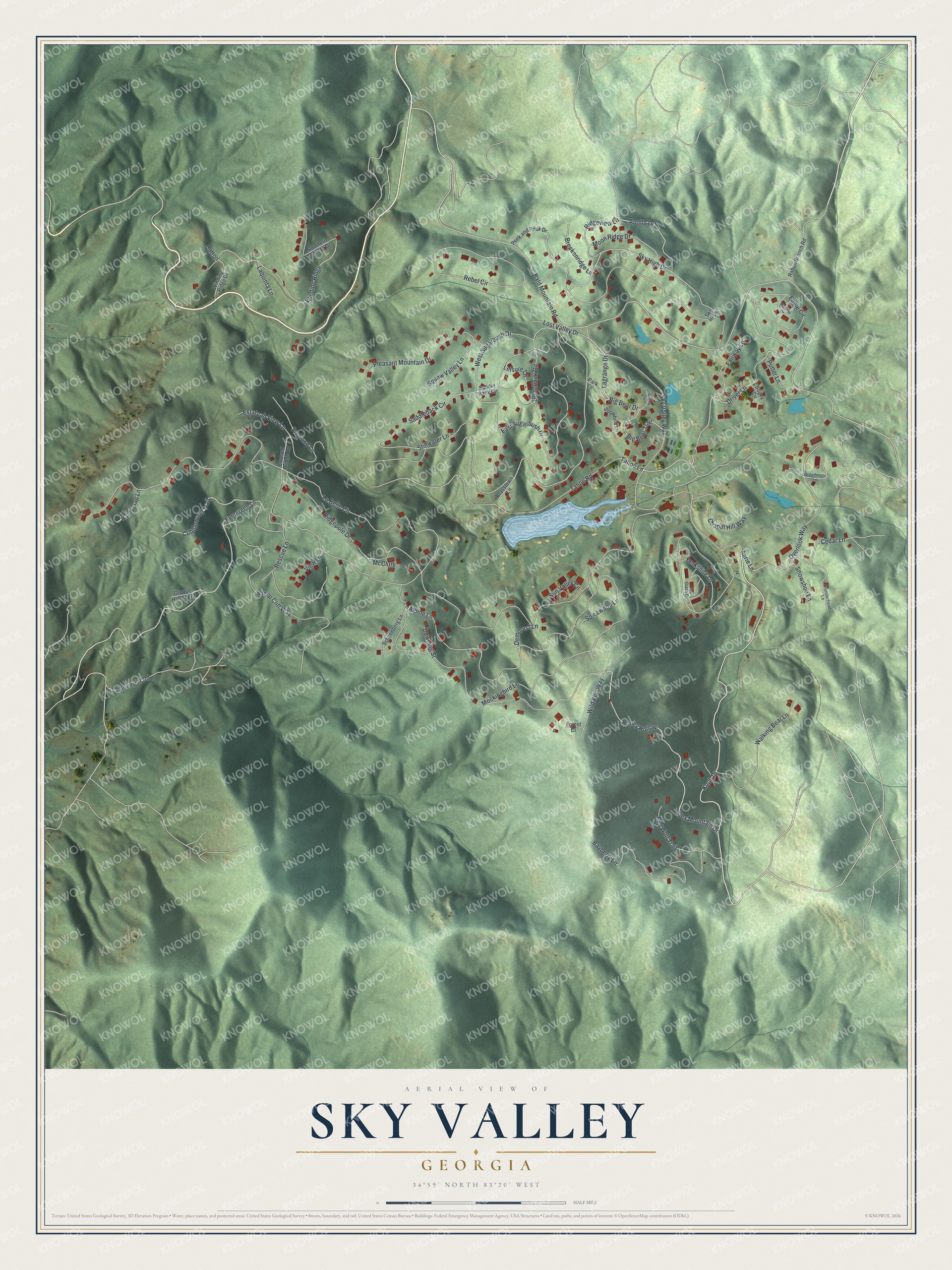
This beautifully detailed map of Sky Valley, Georgia was created in 2026 using aerial imagery combined with modern topographical, census, street and landmark data. It’s a one-of-a-kind view of Sky Valley that combines accurate data with a vintage aesthetic. The map shows every building in its true location, many of the roads carry their names, and the shaded topographic relief shows the shape of the land.
Explore an aerial view of Sky Valley, Georgia
On the map you’ll find Knob Drive, Big Bear Trail, Evergreen Lane, Driver Lane, Apollo Drive, and more. If you look closely you can even find your house accurately drawn in its correct location. Zoom in on the preview to look for yours.
Did You Know?
Sky Valley Resort opened here in 1969 on the slopes of Rabun Bald. For years it held the only winter ski area in Georgia. After new owners took over in 2004, the slopes closed for good after 35 years. A church now meets in the old ski lodge.
Take a closer look at the Sky Valley map
Names on this map
These names are printed on this map.
Streets and roads: Knob Drive, Big Bear Trail, Evergreen Lane, Driver Lane, Apollo Drive, Winding Ridge, Bald Mountain Road, Sky High Drive, Saddleback Circle, Ridgepole Drive, Sky Valley Way, Alex Mountain Drive.
More street names, A to Z
Aerie Lane, Alpine Lane, Bayberry Lane, Berkshire Lane, Big Bear Drive, Bogey Circle, Brasstown Lane, Breckenridge Lane, Broadmoor Lane, Buttermilk Circle, Button, Cedar Lane, Chapel Hill Way, Cobblewood Trail, Covered Bridge Road, Demorest Lane, Downing Street, Eagle Circle, East Sugarbush Drive, Estatoah View Lane, Fairway Lane, Forest Court, Grouse Hollow Road, Honey Hollow, Jim Taylor Road, La Belle Circle, Lagrange Drive, Laquinta Lane, Leisure Lane, Little Bear Drive, Lost Valley Drive, Mashie Drive, McClure, Mockingbird Lane, Moon Ridge Drive, Overlook Way, Park Lane, Peek and Peak Drive, Pleasant Mountain Drive, Putter Lane, Rabun Branch Road, Rainy Gap Lane, Rebel Circle, Red Wolf Trail, Rescue Lane, Ridgeview Lane, Saddle Back Circle, Schoenberg Lane, Scotland Lane, Sheep Cliff Way, Sky Hi Drive, Snowbird Lane, Snowshoe Lane, Southern Breeze Drive, Spicewood Lane, Spy Glass Circle, Stillwater Lane, Sun Valley Circle, Tahoe Lane, Tahoe Road, Thunderhead Lane, View Lane, Walking Bear Lane, West Sugarbush Drive, Wild Bird Way, Winding Ridge Drive.
See it on a wall
The Sky Valley map as a framed print. Swipe for more.


This beautifully detailed map of Sky Valley makes an attractive addition to your office, library, or den, and it can even be used to teach children the geography and history of the area. It also makes a great gift for someone who left Sky Valley and still calls it home. When you’re done exploring, click here to get your copy of the Sky Valley map.