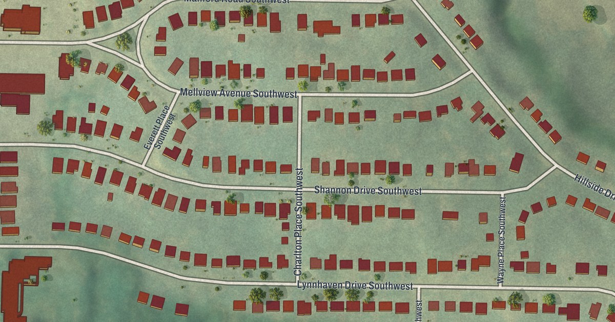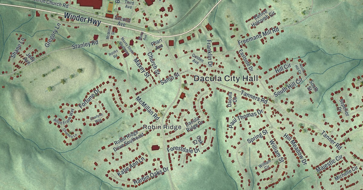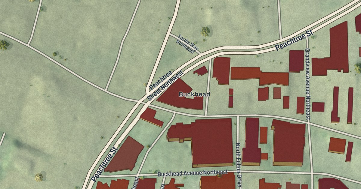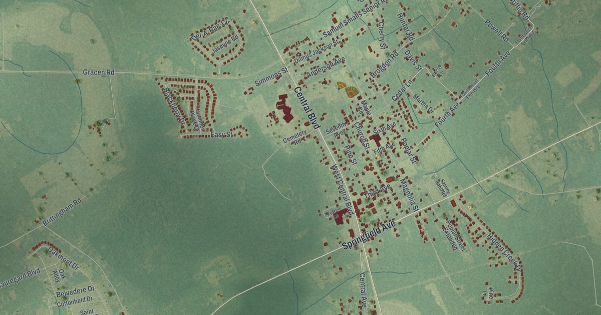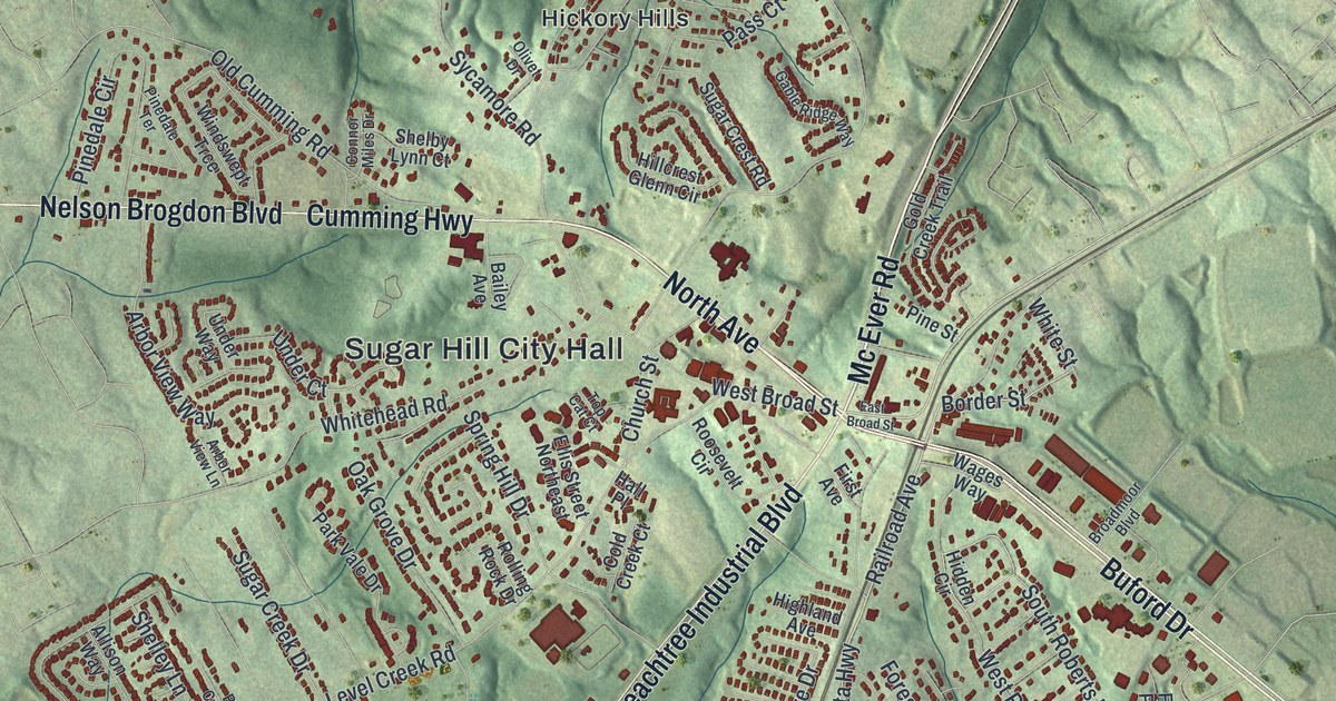
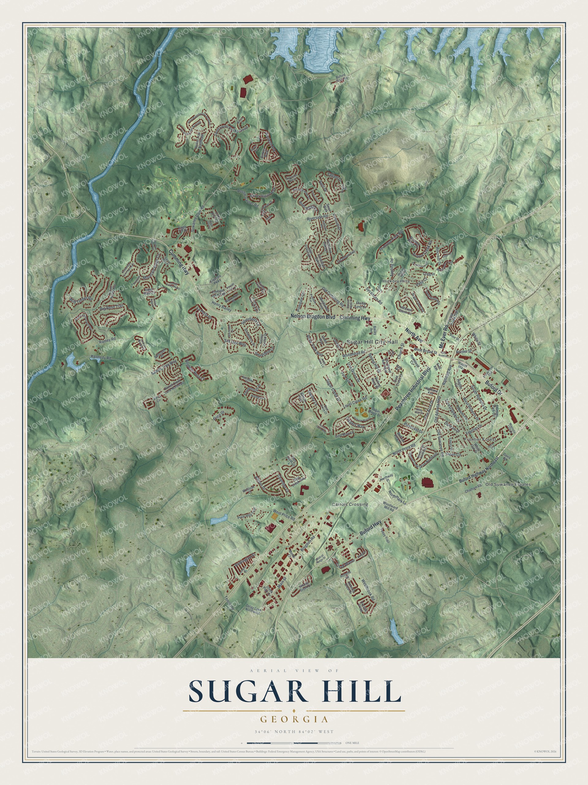
This beautifully detailed map of Sugar Hill, Georgia was created in 2026 using aerial imagery combined with modern topographical, census, street and landmark data. It’s a one-of-a-kind view of Sugar Hill that combines accurate data with a vintage aesthetic. The map shows every building in its true location, many of the roads carry their names, and the shaded topographic relief shows the shape of the land.
Explore an aerial view of Sugar Hill, Georgia
On the map you’ll find Sugar Hill City Hall, Carrols Crossing, Frontier Forest, and Hickory Hills, along with Peachtree Industrial Boulevard, Buford Drive, Mc Ever Road, North Avenue, and more. If you look closely you can even find your house accurately drawn in its correct location. Zoom in on the preview to look for yours.
Take a closer look at the Sugar Hill map
Names on this map
These names are printed on this map.
Places: Sugar Hill City Hall, Carrols Crossing, Frontier Forest, Hickory Hills and Old Suwanee Estates.
Streets and roads: Peachtree Industrial Boulevard, Buford Drive, Mc Ever Road, North Avenue, Cumming Highway, Nelson Brogdon Boulevard, Buford Highway, Railroad Avenue, Old Atlanta Highway, Border Street, North Price Road, Suwanee Dam Road.
More street names, A to Z
Addison Woods Place, Allison Drive, Allison Way, Amberside Lane, Appling Road, April Drive, Arbor View Lane, Arbor View Way, Austin Garner Road, Avalon Creek Road, Avonley Creek Drive Northwest, Avonley Creek Trce, Ayelsbury Court, Bailey Avenue, Barker Station Walk, Bent Creek Court, Big Bend Trail, Binkley Trail, Binkley Walk, Blossom Brook Drive, Bramblewood Circle, Bridgeton Cv, Bridlington Street, Brighton Rose Lane, Broadmoor Boulevard, Brogdon Road, Brookcliff Terrace, Buford Dam Road, Buford Highway Northeast, Chandler Court, Chatham Road, Church Street, Cold Creek Court, Connor Miles Drive, Craig Drive, Creek Bluff Drive, Creek Manor, Creek Park Drive, Daniel Creek Lane Northeast, Davis Road, Davis Street, Delay Lane Northwest, Diggers Way, Dispain Road, Double Gate Court Northeast, Duncan Drive, Eagle Close Lane, Eagle Tiff Drive, East Broad Street, Edinborough Place, Ellis Street Northeast, Emerald Lake Lane, Emerald Lake Path, Emerald Parkway, Emory Drive, First Avenue, Forest Green Drive, Frontier Drive, Frontier Park Circle, Gable Ridge Way, Glen Creek Way, Glen Level Drive, Gold Creek Trail, Gold Mine Drive, Grand Loop Road Northwest, Grand Magnolia Drive Northeast, Hall Place, Henry Bailey, Hickory Hills Drive, Hidden Circle, Highland Avenue, Hillcrest Drive, Hillcrest Glenn Circle, Hunters Grove Way, Julington Street, Kendrix Ridge Drive, Kennedy Road, Lanier Valley Parkway, La Perla Drive, Laurel Run Place, Level Creek Road, Links View Drive, Magnolia Club Drive, Main Street, Marakanda Trail, McEver View Drive, Mendi Court, Mobilis Court, Mountain Ridge Circle, Mountain Ridge Way, Northmark Lane, Northway Place, Oak Grove Drive, Old Cumming Road, Old Suwanee Road, Olivet Drive, Owen Circle, Oxcliffe Grove, Park Vale Drive, Parkview Mine Drive, Pass Court, Peevy Trail, Pierless Avenue, Pine Acre Drive, Pinecrest Drive, Pinedale Circle, Pinedale Terrace, Pine Street, Price Drive, Price Hills Trail, Primrose Park Road, Princeton Oaks Drive, Princeton Oaks Lane, Ramey Road, Ridge Walk Court, Riley Run Court, River Ridge Lane, Riverside Bay, Riverside Drive, Riverside Road, Riverside Run Lane, Riverside Walk Drive, Roberts Crest Drive, Roberts Road, Rolling Rock Drive, Roosevelt Circle, Saddle Tree Way, Saltcreek Place, Secret Cove Drive Northeast, Secret Trail Northeast, Shelby Lynn Court, Shelley Lane, Shire Village Drive, Silk Oak Way, Silverberry Lane, Snowberry Drive, Snowy Orchid Drive, South Roberts Drive, Spring Hill Drive, Starflower Lane, Sugar Creek Drive, Sugar Crest Road, Sugar Crossing Drive, Sugar Maple Drive, Swan Walk, Sweetfern Lane, Sweet Laurel Run Northeast, Sycamore Road, Sycamore Smt, Tallant Drive, Tench Road, Thunder Woods Trail, Top Cat Court, Trail Hikes Drive, Under Court, Under Way, Upland Court, Van Briggle Path Northeast, Vinca Circle, Wages Way, Waltham Lane, Warrenton Place, Weller Trail Northeast, West Broad Street, Westbrook Road, Westoak Court, West Price Road, West Roberts Drive, Whitehead Road, White Oak Drive, White Street, Wildcat Ridge Drive, Wild Timber Road, Windswept Trce, Woods Creek Drive, Woodward Mill Road.
See it on a wall
The Sugar Hill map as a framed print. Swipe for more.


This beautifully detailed map of Sugar Hill makes an attractive addition to your office, library, or den, and it can even be used to teach children the geography and history of the area. It also makes a great gift for anyone with Sugar Hill roots. When you’re done exploring, click here to get your copy of the Sugar Hill map.