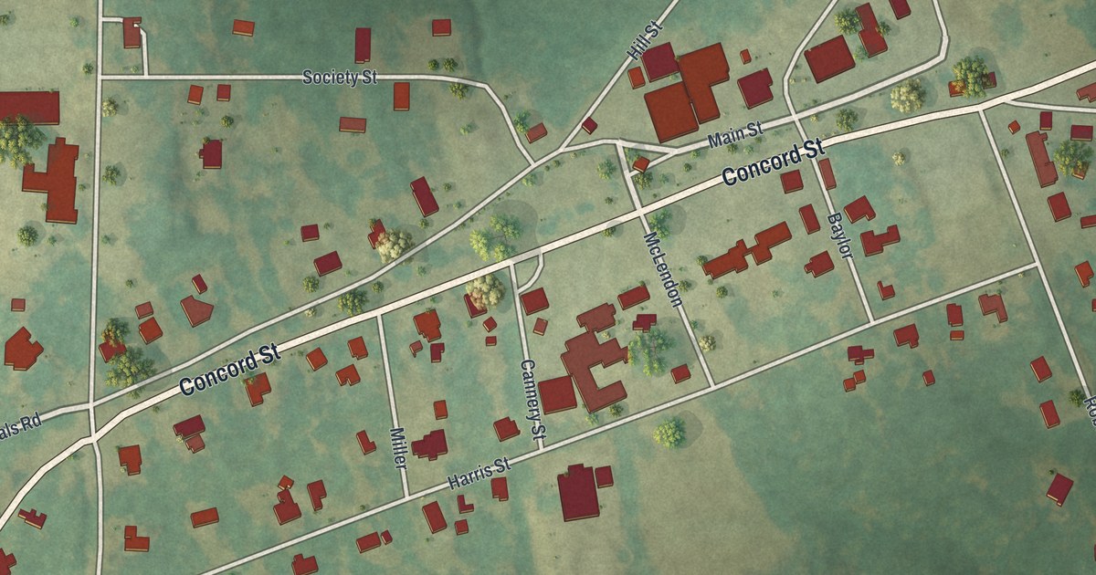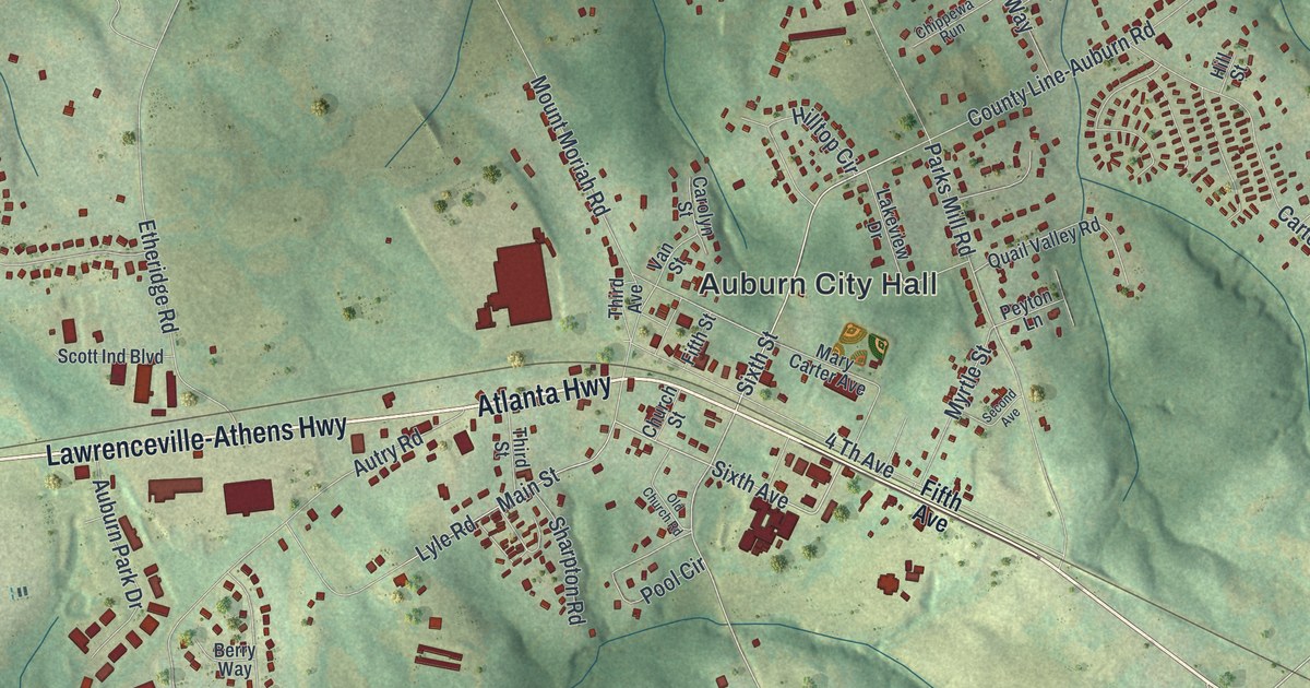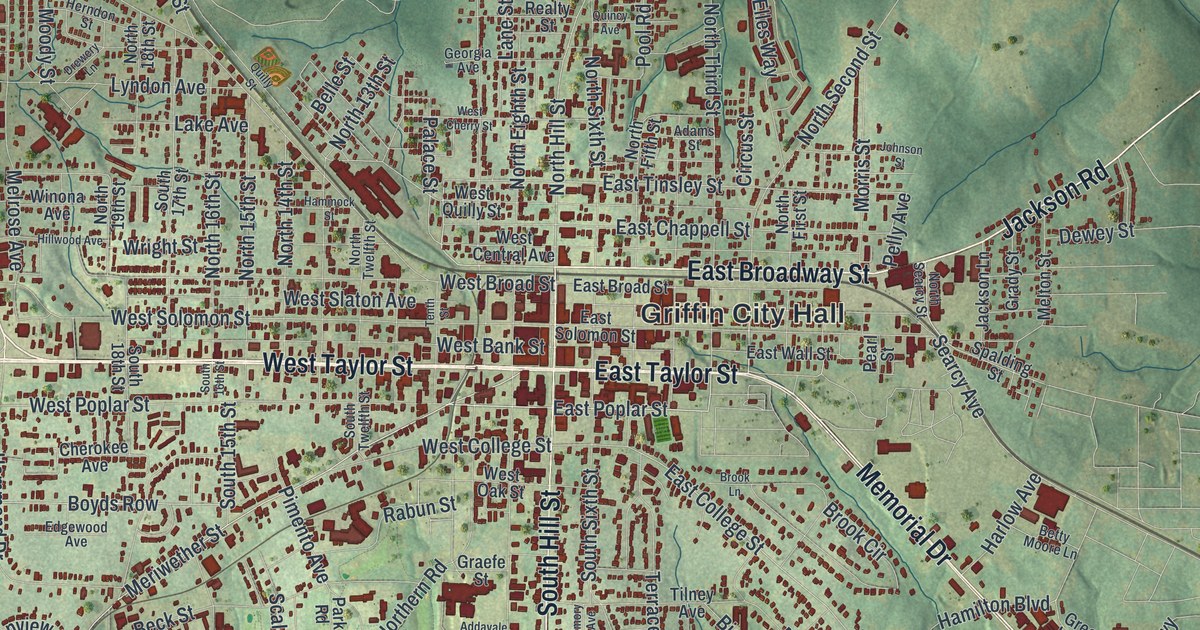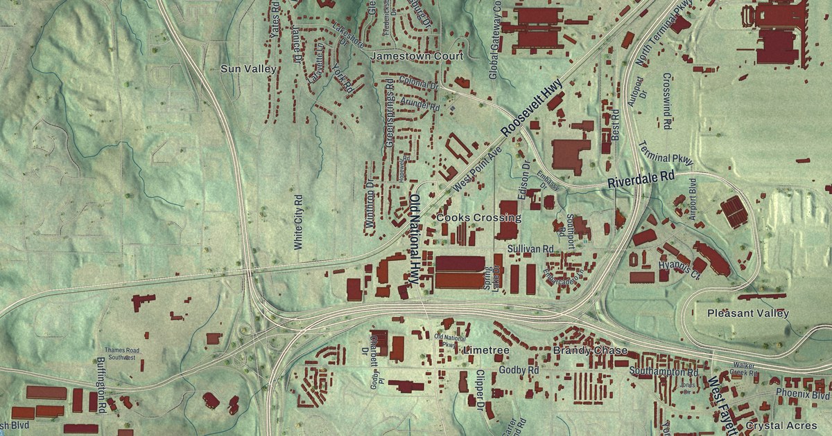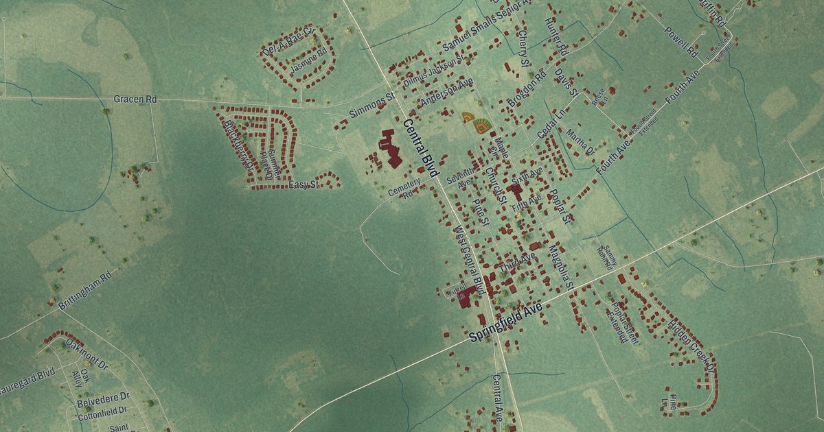
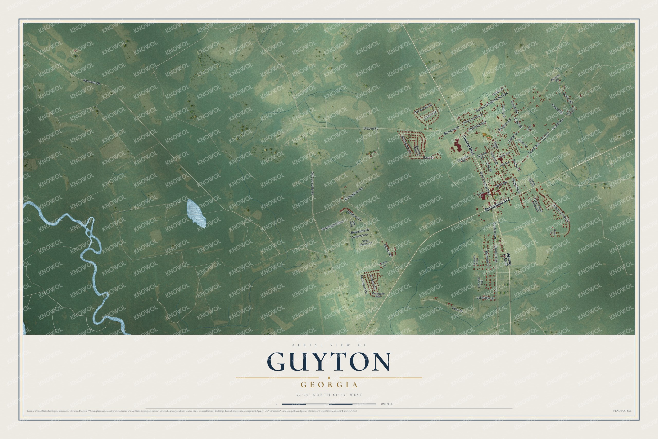
This beautifully detailed map of Guyton, Georgia was created in 2026 using aerial imagery combined with modern topographical, census, street and landmark data. It’s a one-of-a-kind view of Guyton that combines accurate data with a vintage aesthetic. The map shows every building in its true location, many of the roads carry their names, and the shaded topographic relief shows the shape of the land.
Explore an aerial view of Guyton, Georgia
On the map you’ll find Springfield Avenue, Central Boulevard, Fourth Avenue, Cedar Lane, Griffin Road, and more. If you look closely you can even find your house accurately drawn in its correct location. Zoom in on the preview to look for yours.
Did You Know?
Around 1838 the Central of Georgia Railroad laid track through a community called Whitesville. Residents wanted a post office, but Georgia already had a Whitesville. So railroad president W. W. Gordon renamed the place Guyton, for Archibald Guyton, a leading local citizen. The Guyton post office opened on December 31, 1851.
Take a closer look at the Guyton map
Names on this map
These names are printed on this map.
Streets and roads: Springfield Avenue, Central Boulevard, Fourth Avenue, Cedar Lane, Griffin Road, Farrington Circle, Sand Hill Road, Magnolia Street, Brogdon Road, Riverside Drive, Oakmont Drive, Del-A-Rae-Cir.
More street names, A to Z
Anderson Avenue, Archer Road, Beauregard Boulevard, Belvedere Drive, Biltmore Drive, Blackberry Drive, Brittingham Road, Cemetery Road, Central Avenue, Cherry Street, Church Street, Cottonfield Drive, Crossgate Way, Davis Street, Dean Drive, Dilmus Jackson Street, Easy Street, Fifth Avenue, Fourth Street Extended, Futrell Lane, Gospel Place, Gracen Road, Hidden Creek Drive, Highway 17 South, Hunter Road, Jasmine Road, Lakeview Drive, Linton Lane, Live Oak Trail, Maple Circle, Martha Drive, North Camelia Court, Oak Alley, Old Louisville Road, Pine Lane, Pine Street, Poplar Street, Poplar Street Extended, Powell Road, Reese Lane, Saint Charles Drive, Sammy Rahn Road, Samuel Smalls Senior Avenue, Seventh Avenue, Simmons Street, Sixth Avenue, Summer Place Drive, Third Avenue, West Central Boulevard, Williams Road, Winston Drive.
See it on a wall
The Guyton map as a framed print. Swipe for more.


This beautifully detailed map of Guyton makes an attractive addition to your office, library, or den, and it can even be used to teach children the geography and history of the area. It also makes a great gift for anyone who grew up in Guyton or moved away. When you’re done exploring, click here to get your copy of the Guyton map.