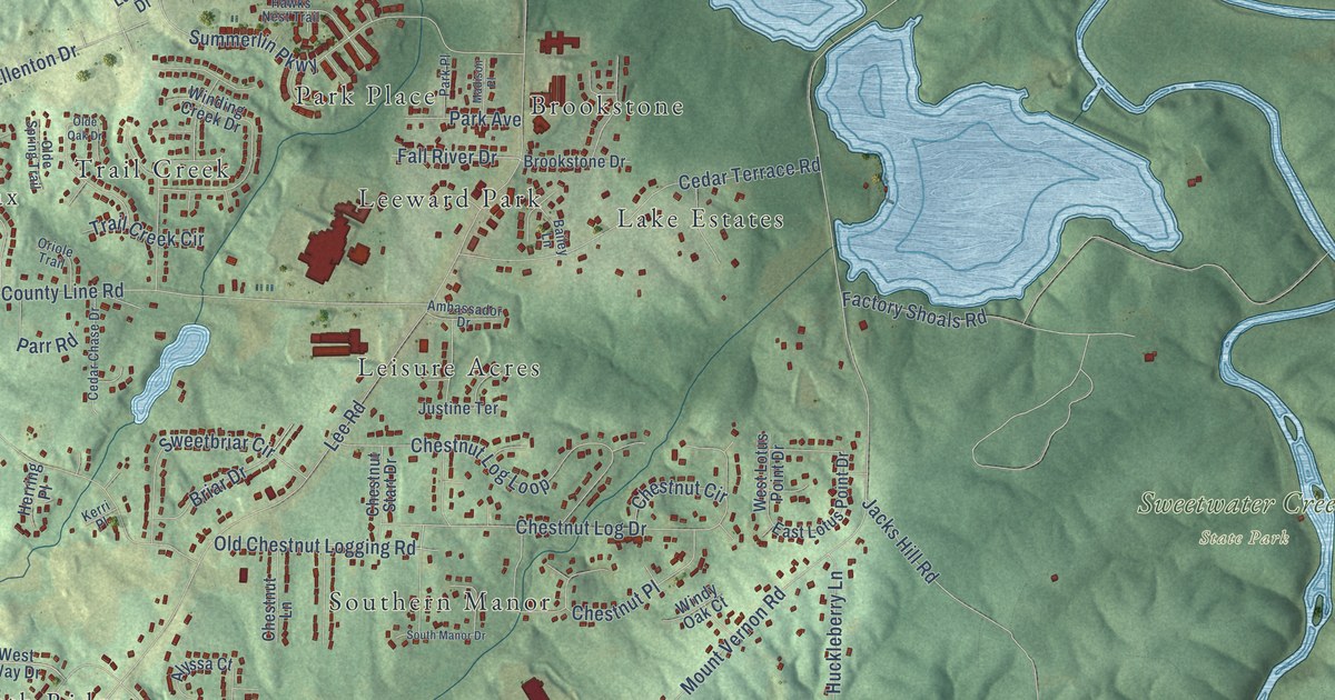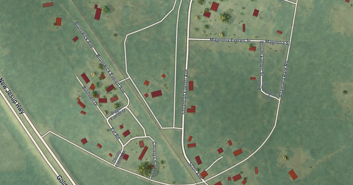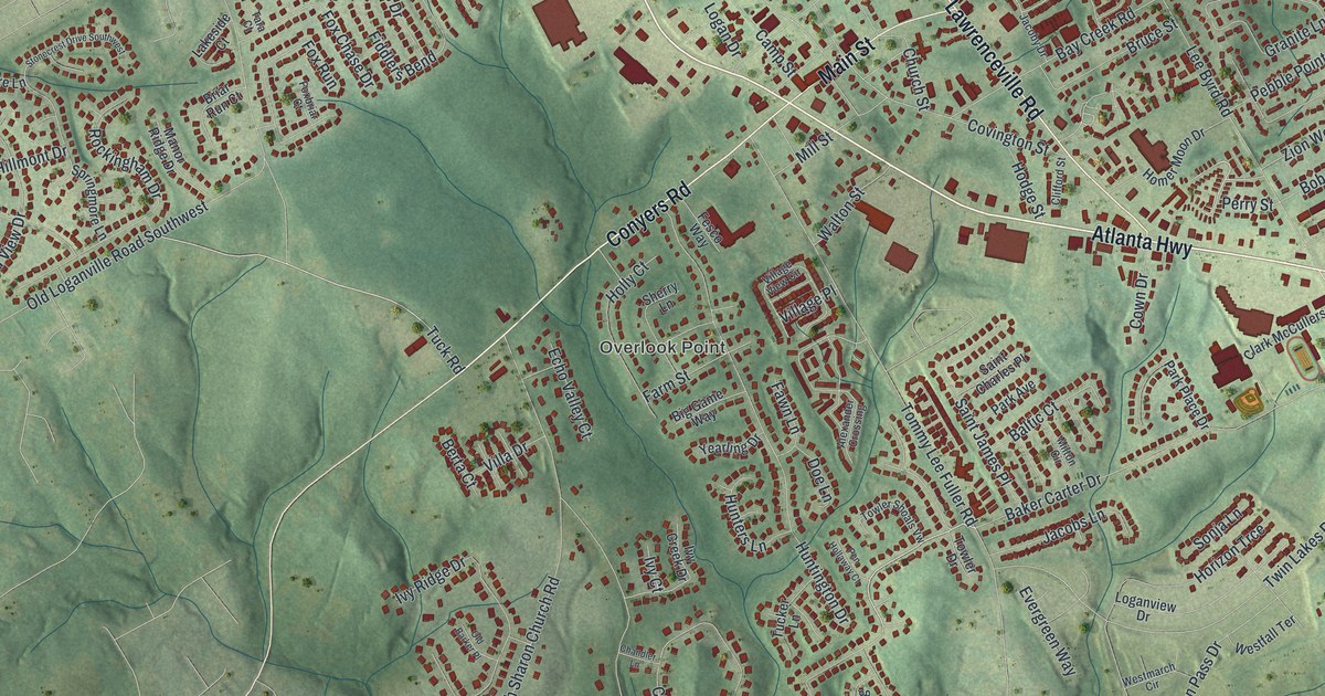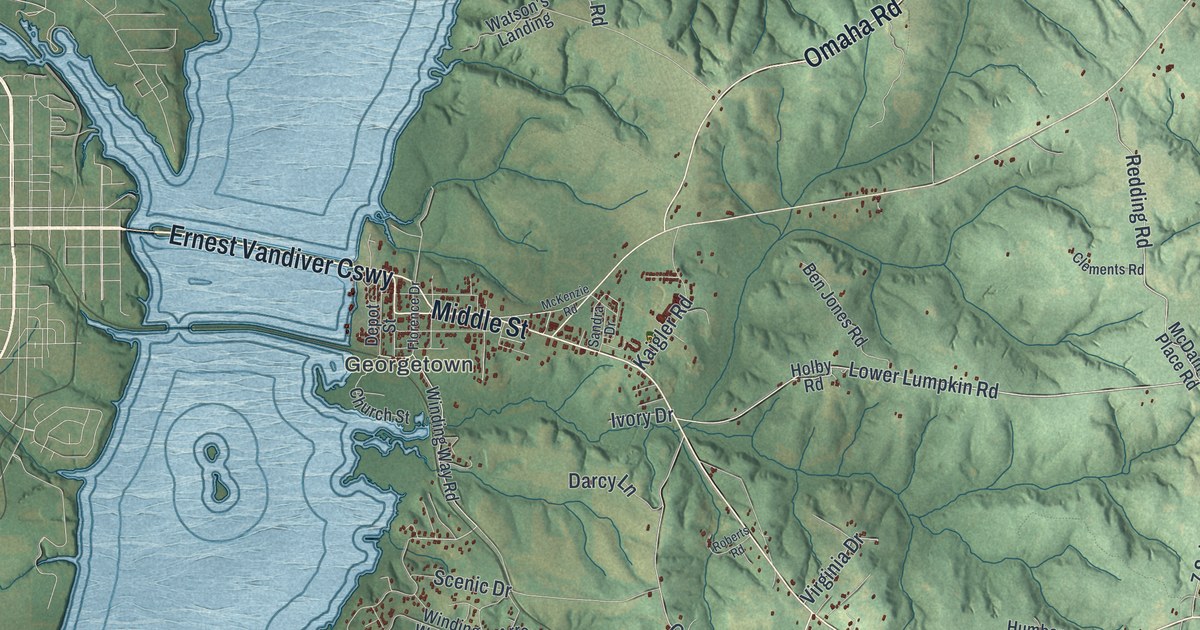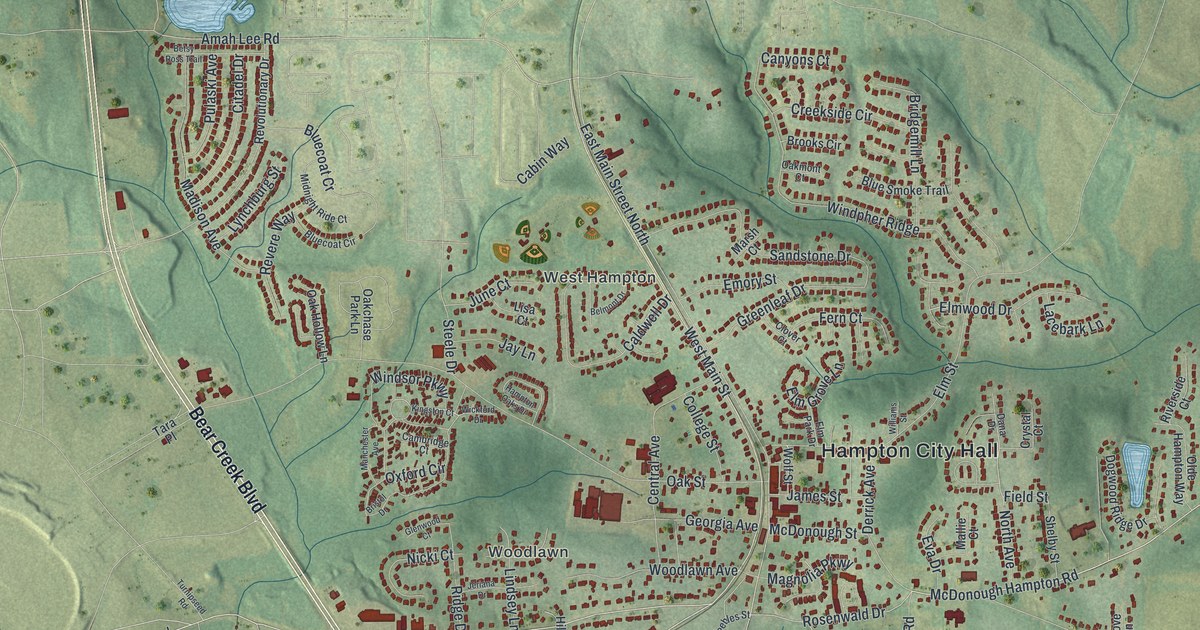
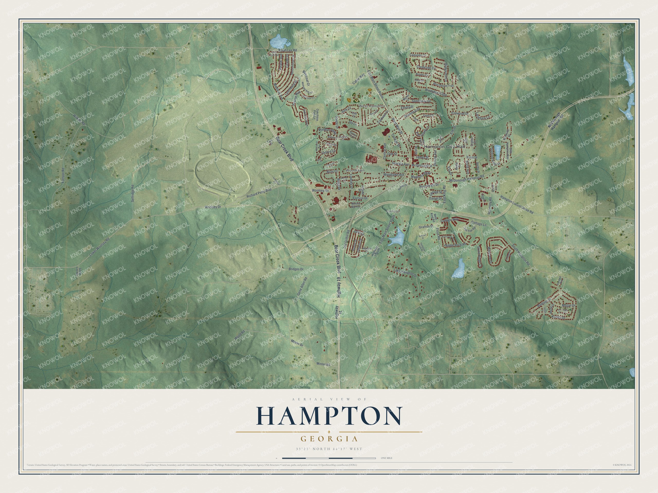
This beautifully detailed map of Hampton, Georgia was created in 2026 using aerial imagery combined with modern topographical, census, street and landmark data. It’s a one-of-a-kind view of Hampton that combines accurate data with a vintage aesthetic. The map shows every building in its true location, many of the roads carry their names, and the shaded topographic relief shows the shape of the land.
Explore an aerial view of Hampton, Georgia
On the map you’ll find Hampton City Hall, West Hampton, Fortson, and Woodlawn, along with Bear Creek Boulevard, Lower Woolsey Road, Richard Petty Boulevard, Main Street, and more. If you look closely you can even find your house accurately drawn in its correct location. Zoom in on the preview to look for yours.
Did You Know?
Settlers reached the Bear Creek area in the early 1820s, and the town was first called Bear Creek Station. In 1873 the Central Railroad of Georgia was built about a mile east. The town moved to the tracks and took a new name. It honors Brigadier General Wade Hampton, who fought in the Revolution and the War of 1812.
Take a closer look at the Hampton map
Names on this map
These names are printed on this map.
Places: Hampton City Hall, West Hampton, Fortson and Woodlawn.
Streets and roads: Bear Creek Boulevard, Highway 19, Lower Woolsey Road, Richard Petty Boulevard, West Main Street, Old Griffin Road, Woolsey Road, McDonough Hampton Road, East Main Street South, Amah Lee Road, Rosenwald Drive, East Main Street North.
More street names, A to Z
Ashlyn Drive, Ava Court, Belmont Drive, Betsy Ross Trail, Bluecoat Circle, Bluecoat Cr, Blue Smoke Trail, Bonnie Glen Lane, Bridgemill Lane, Bridges Drive, Bristol Drive, Brooks Circle, Cabin Way, Caldwell Drive, Cambridge Court, Canyons Court, Central Avenue, Citadel Drive, Clover Court, Cobblestone Court, College Street, Cottage Lane, Cottage Way, Creekside Circle, Crystal Court, Dana Drive, Daniel Street, Derrick Avenue, Dogwood Ridge Drive, East King Road, Elm Grove Lane, Elm Park Drive, Elm Street, Elmwood Drive, Emory Street, Eva Drive, Fern Court, Field Street, Floyd Road, Fortson Drive, Fortson Road, Gene Allen Road, George Street, Georgia Avenue, Glenwood Court, Grafton Street, Greenleaf Drive, Grove Lane, Hamlet Drive, Hampton Court, Hampton Locust Grove Road, Hampton Oaks Drive, Harmony Road, Highway 3 South, Highway 41, Hillside Drive, Hill Top Road, James Street, Janel Court, Jay Lane, Jeriana Drive, Juliet Drive, June Court, Kingston Court, Kyndal Drive, Lacebark Lane, Lake Hampton Drive, Lindsey Lane, Lisa Court, Lynchburg Street, Macbeth Drive, Madison Avenue, Madisyn Drive, Magnolia Parkway, Mallie Court, Mallie Drive, Manchester Avenue, Marsh Court, McDonough Street, Megan Drive, Midnight Ride Court, Millstone Drive, Minter Drive, Minter Road, Nicki Court, North Avenue, Oakchase Park Lane, Oak Hollow Lane, Oakmont Court, Oak Street, Olde Hampton Way, Othello Drive, Oxford Circle, Pebble Rock Road, Peebles Street, Pulaski Avenue, Revere Way, Revolutionary Drive, Ridge Drive, Riverside Court, Sandstone Drive, Selfridge Road, Shelby Street, South Hampton Road, South Lee Road, Standard Way, Steele Drive, Stone Ridge Court, Sullivan Street, Tara Place, Thompson Creek Road, Turnipseed Road, Watercourse Way, West King Road, Wickford Drive, Wilkins Road, Williams Street, Windpher Ridge, Windsor Parkway, Wolf Street, Woodlawn Avenue, Wood Road, Woolsey Drive.
See it on a wall
The Hampton map as a framed print. Swipe for more.


This beautifully detailed map of Hampton makes an attractive addition to your office, library, or den, and it can even be used to teach children the geography and history of the area. It also makes a great gift for anyone with Hampton roots. When you’re done exploring, click here to get your copy of the Hampton map.