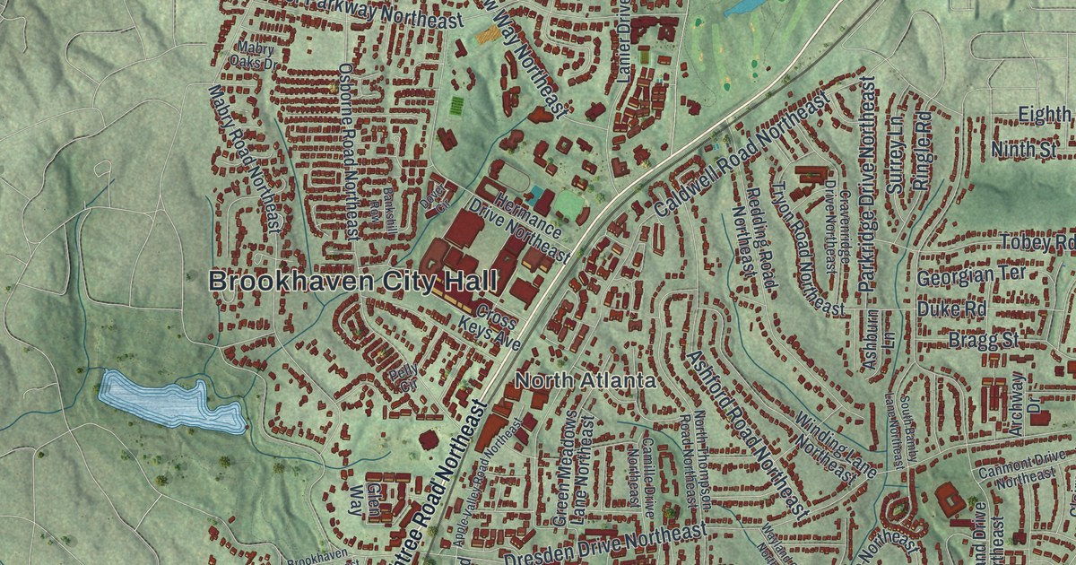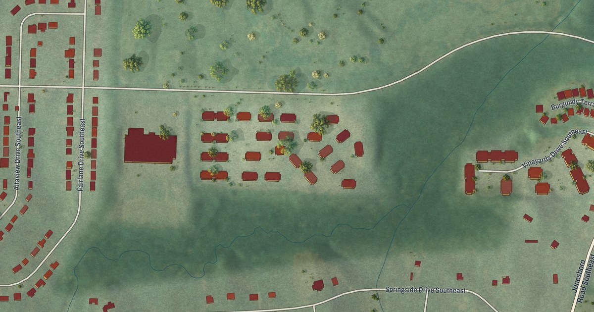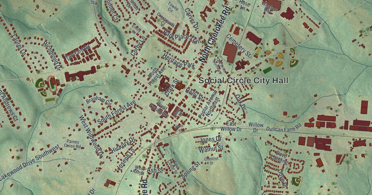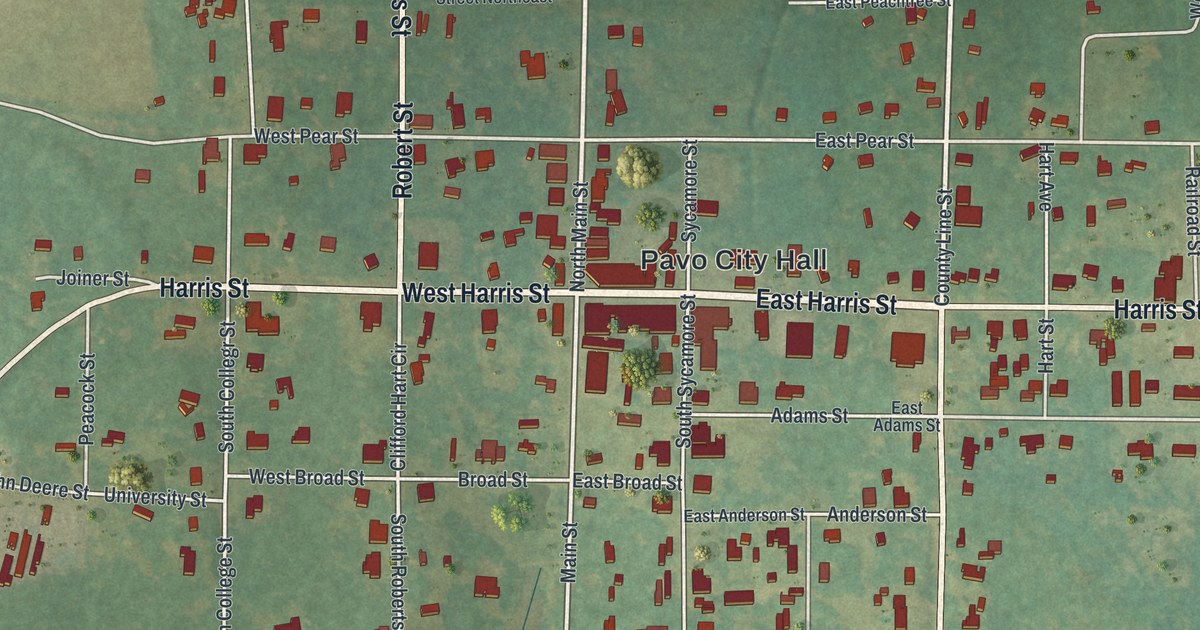
This aerial map of Griffin, Georgia was created in 2026 using real geographic data to bring the city’s streets, buildings, neighborhoods, waterways, parks, and terrain together in one highly detailed view. Look closer and you can pick out the familiar places that make Griffin feel like home. Start with the street you know, then see how it connects to the rest of the city. Click here to purchase a print of this map for your wall.
Explore an aerial view of Griffin, Georgia
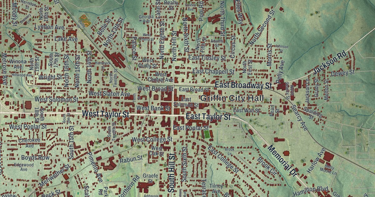
Start near Griffin City Hall, then follow North Expressway, Taylor Street, Broadway Street, and Memorial Drive across the city. Look for Experiment and Highland Mills, both printed by name.
Names are set along the main roads, which makes the routes people use every day easy to follow.
Take a closer look at the Griffin map
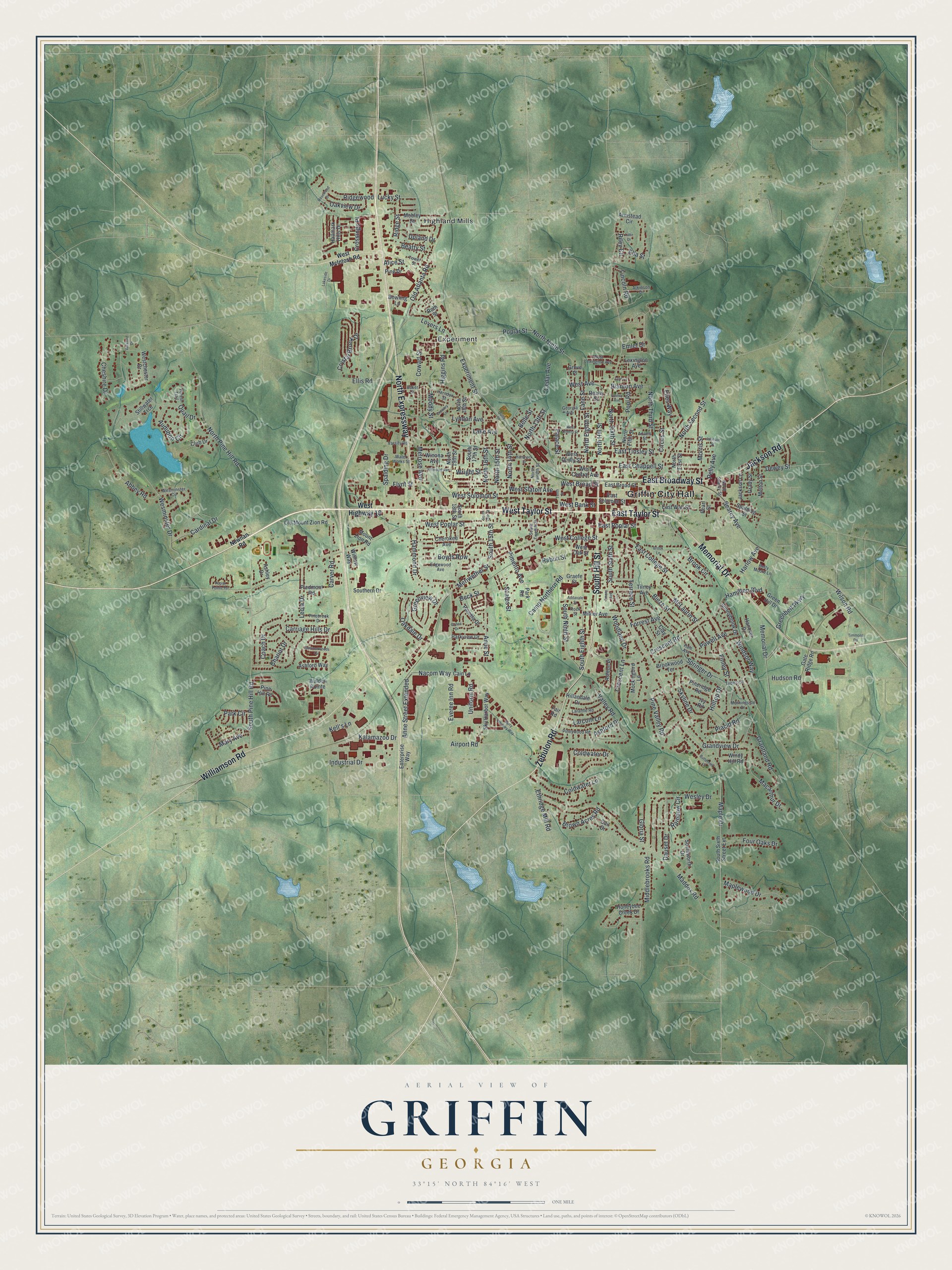
We designed the artwork at KNOWOL to read like a page from an old atlas. Buildings are drawn as small raised blocks with soft shadows, shaded relief shows the rise and fall of the land, and street names are set in clean, condensed lettering. A ruled border, a scale bar, and a title panel with the city’s coordinates finish the sheet.
This beautifully detailed map of Griffin makes an attractive addition to your office, library, or den, and it’s a thoughtful gift for anyone who calls Griffin home. When you’re done exploring, click here to get your copy of the Griffin, Georgia map.