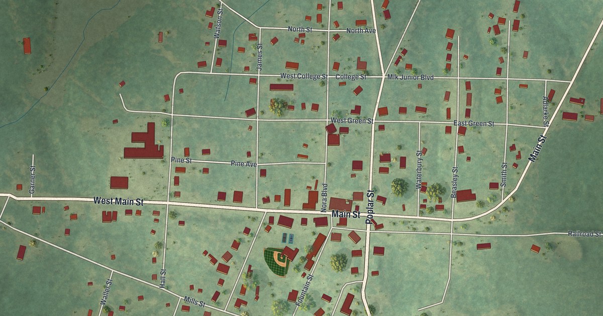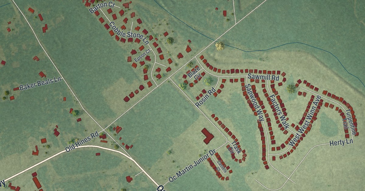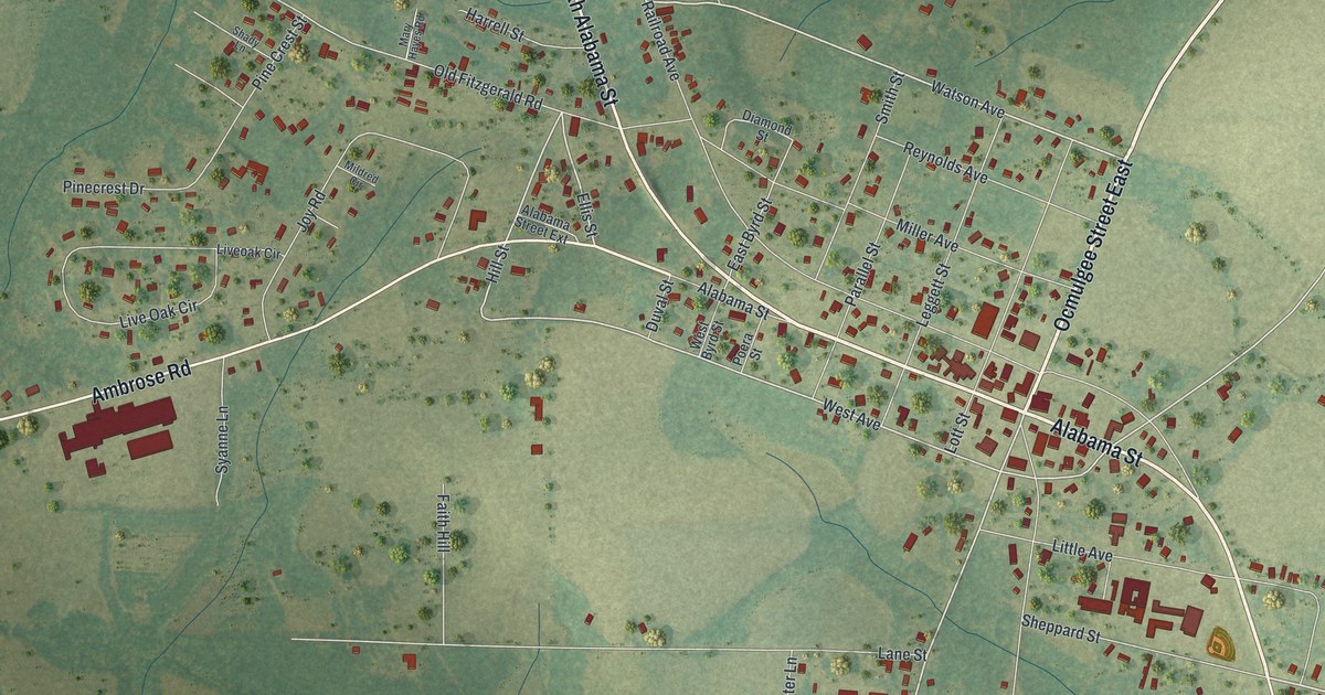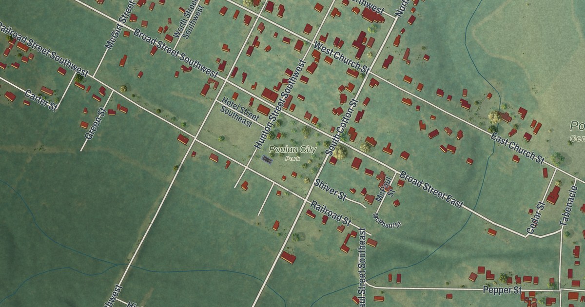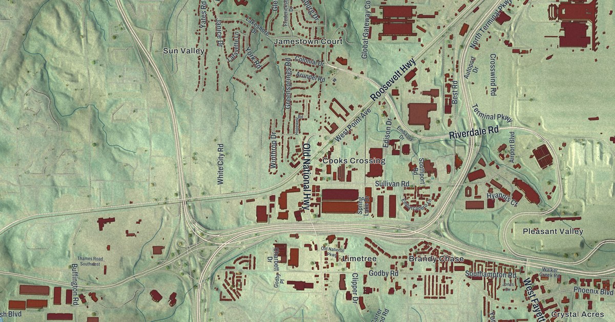
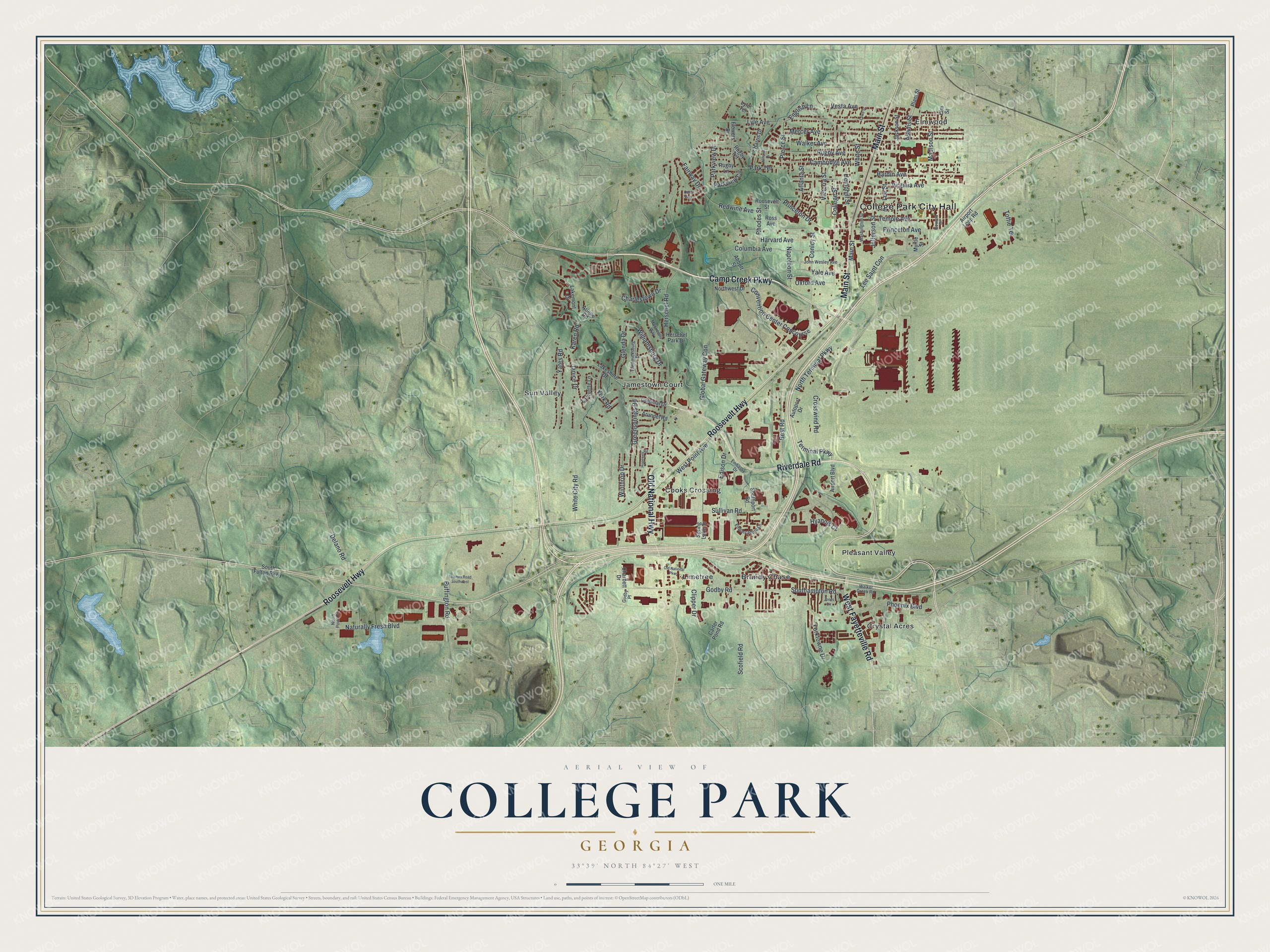
This beautifully detailed map of College Park, Georgia was created in 2026 using aerial imagery combined with modern topographical, census, street and landmark data. It’s a one-of-a-kind view of College Park that combines accurate data with a vintage aesthetic. The map shows every building in its true location, many of the roads carry their names, and the shaded topographic relief shows the shape of the land.
Explore an aerial view of College Park, Georgia
On the map you’ll find College Park City Hall, Cooks Crossing, Crystal Acres, Elmwood, and Limetree, along with Riverdale Road, Roosevelt Highway, Camp Creek Parkway, Main Street, Jamestown Court, and more. If you look closely you can even find your house accurately drawn in its correct location. Zoom in on the preview to look for yours.
Did You Know?
College Park began in 1890 as Atlantic City, a railroad depot on the Atlanta and West Point line. It became Manchester when it incorporated in 1891. Later it took the name College Park, after Cox College and Georgia Military Academy. Its avenues still carry the names of Ivy League colleges.
Take a closer look at the College Park map
Names on this map
These names are printed on this map.
Places: College Park City Hall, Brandy Chase, Cooks Crossing, Crystal Acres, Elmwood, Jamestown Court, Limetree, Pleasant Valley and Sun Valley.
Streets and roads: Riverdale Road, Roosevelt Highway, Camp Creek Parkway, Main Street, Old National Highway, West Fayetteville Road, North Terminal Parkway, Terminal Parkway, Convention Center Concourse, Conley Street, Naturally Fresh Boulevard, West Point Avenue.
More street names, A to Z
Abbott Street, Adams Street, Airport Boulevard, Airport Loop Road, Almand Drive, Arlene Road, Arundel Road, Atlanta Street, Autoport Drive, Best Road, Buffington Road, Cambridge Avenue, Carter Pond Road, Charbett Drive, Charlestown Drive, Clipper Drive, College Street, Colonial Drive, Columbia Avenue, Crosswind Road, Delano Road, Edison Drive, Elm Street, Embarcadero Lane, Embassy Drive, English Lane, Fairway Drive, Flowers Drive, Fredericksburg Drive, Glenda Drive, Global Gateway Con, Godby Place, Godby Road, Greensprings Road, Hardin Avenue, Harris Drive, Harvard Avenue, Hemphill Street, Herschel Park Drive, Herschel Road, Hopewell Road, Howard Drive, Hyannis Court, Jackson Street, Janice Drive, Jefferson Street, John Wesley Avenue, Jones Circle, Karen Road, Lafayette Lane, Lakemont Drive, Lakeshore Drive, Lee Saint Con, Lee Street, Lowe Street, Lyle Avenue, Lyle Terrace, Madison Street, Mercer Avenue, Monticello Way, Myrtle Street, Napoleon Street, North Point Circle, Northwest Drive, Odell Way, Old National Parkway, Oxford Avenue, Park Terrace, Parkview Circle, Parkview Drive, Phoenix Boulevard, Pierce Street, Plant Street, Princeton Avenue, Princeton Drive, Redwine Avenue, Rhodes Street, Roosevelt Street, Ross Avenue, Rugby Avenue, Rugby Lane, Rugby Terrace, Scofield Road, Southampton Road, South Fulton Parkway, Southport Road, Spring Lake Drive, Sullivan Road, Temple Avenue, Thames Road Southwest, Toffie Terrace, Vesta Avenue, Victoria Street, Virginia Avenue, Walker Avenue, Walker Creek Road, Washington Street, White City Road, White Street, Williamsburg Drive, Winthrop Drive, Yale Avenue, Yates Road, York Road, Yorktowne Drive.
See it on a wall
The College Park map as a framed print. Swipe for more.


This beautifully detailed map of College Park makes an attractive addition to your office, library, or den, and it can even be used to teach children the geography and history of the area. It also makes a great gift for anyone with College Park roots. When you’re done exploring, click here to get your copy of the College Park map.