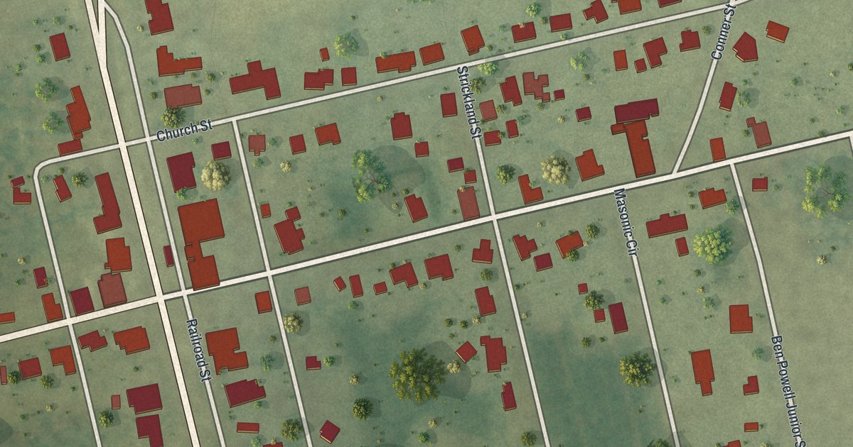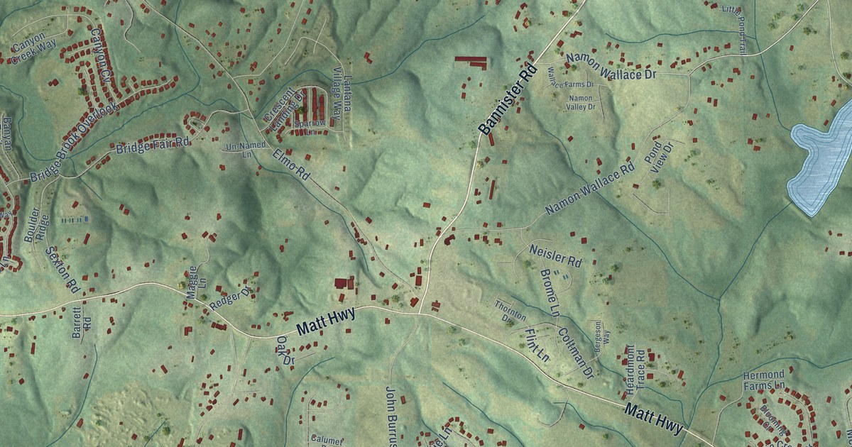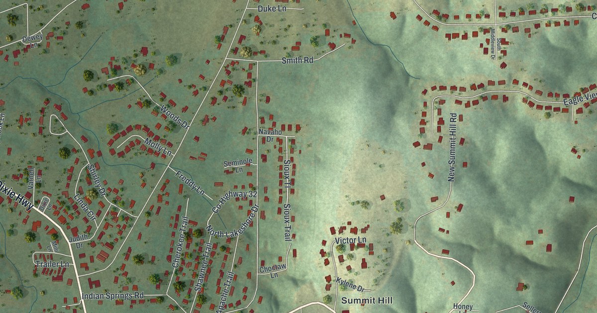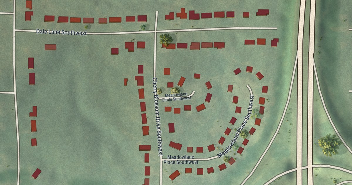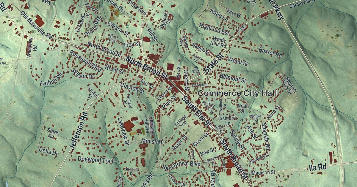
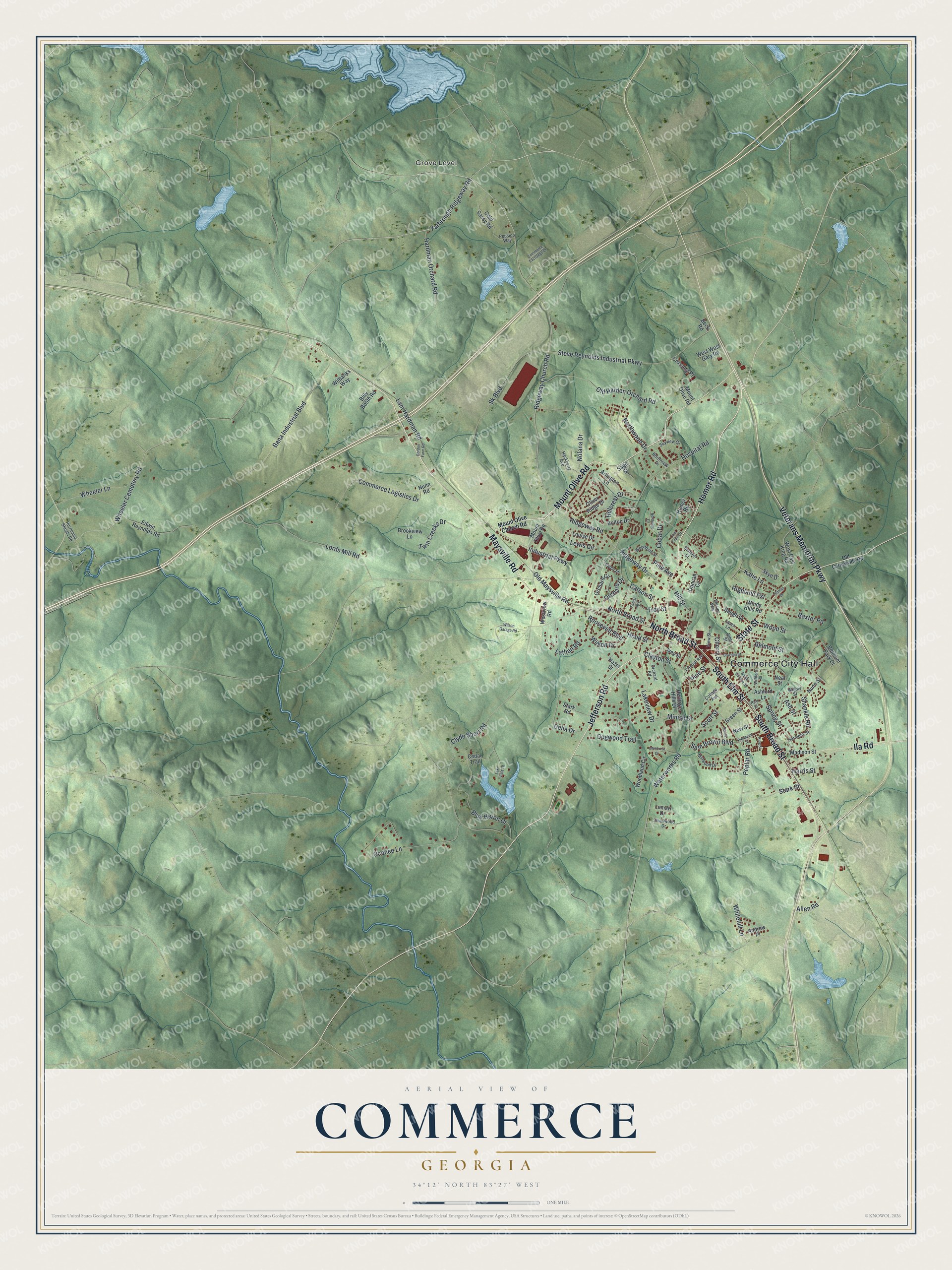
This beautifully detailed map of Commerce, Georgia was created in 2026 using aerial imagery combined with modern topographical, census, street and landmark data. It’s a one-of-a-kind view of Commerce that combines accurate data with a vintage aesthetic. The map shows every building in its true location, many of the roads carry their names, and the shaded topographic relief shows the shape of the land.
Explore an aerial view of Commerce, Georgia
On the map you’ll find Commerce City Hall and Grove Level, along with Maysville Road, Broad Street, Homer Road, Jefferson Road, and more. If you look closely you can even find your house accurately drawn in its correct location. Zoom in on the preview to look for yours.
Did You Know?
Commerce was first called Harmony Grove, after a trading post Eli Shankle opened in 1808. Its Harmony Grove Female Academy, chartered in 1824, was the first school for girls only chartered in Georgia. Late in the 1800s, residents felt the old name was too long. Their mail also kept going to another Harmony Grove in Dawson County.
Take a closer look at the Commerce map
Names on this map
These names are printed on this map.
Places: Commerce City Hall and Grove Level.
Streets and roads: Maysville Road, South Broad Street, North Broad Street, Homer Road, Jefferson Road, Mount Olive Road, South Elm Street, Veterans Memorial Parkway, State Street, Ila Road, Ridgeway Church Road, Yarbrough Ridgeway Road.
More street names, A to Z
Allen Road, Andrew Place, Arlington Lane, Ashford Lane, Ash Street, Bana Industrial Boulevard, Baugh Street, Baxter Road, Beck Road, Belmont Park Drive, Belmont Street, Bennett Street, Billy Booth Road, Blue Heron Drive, Bolton Drive, Bowden Street, Brookview Lane, Carson Street, Cedar Drive, Cedar Trail, Central Avenue, Cherry Street, Clayton Street, Clyde Short Road, Cold Sassy Road, Cole Court Drive, College Avenue, Commerce Exchange Drive, Commerce Logistics Drive, Crossing Place, Delia Drive, Dogwood Trail, Duncan Circle, Edwin Reynolds Road, Forest Avenue, Glencrest Drive, Gordon Farm Road, Green Street, Hackberry Avenue, Hardman Orchard Road, Harmony Street, Harris Street, Hazel Street, Heritage Hills Drive, Highland Est, Hillcrest Drive, Hill Street, Hood Street, Hospital Road, Hurricane Shoals Road, Industrial Parkway, Ivey Street, Katie Lane, King Street, Lakeview Drive, Lake Vista Lane, Lam Hardman Road, Lathan Road, Laura Lane, Lemarr Drive, Lewis Circle, Lords Mill Road, Louise Drive, Madison Street, Millwood Drive, Minish Drive, Mount Olive Church Road, Neal Street, New Street, Nolana Drive, Northside Drive, Northview Drive, Northwood Drive, Nunn Road, Nunn Street, Oconee Lane, Old Carnesville Road, Old Harden Orchard Road, Old Maysville Road, Oliver Ridge Drive, Orchard Circle, Orchard Drive, Orchard Road, Paula Street, Pepsico Way, Piedmont Street, Pine Avenue, Pine Street, Poplar Road, Rice Street, Ridgeway Drive, Ridgeway Road, Roosevelt Boulevard, Sage Street, Sam Brown Boulevard, Scott Street, Shankle Road, Sk Boulevard, Skye Drive, Skyview Drive, Smallwood Drive, South Victoria Street, Spring Street, Stark Road, Stark Street, Steve Reynolds Industrial Parkway, Sunny Lane, Thomas Drive, Troy Street, Twin Creeks Drive, View Street, Vine Street, Waterworks Road, Wesley Way, West East King Road, Westview Road, West West Gary Road, Wheeler Cemetery Road, Wheeler Lane, Whitehill Lane, Wilbanks Way, Williford Street, Willow Street, Wilson Drive, Wilson Garage Road, Windy Hills Road, Woodbine Street, Woodland Circle, Wood Street.
See it on a wall
The Commerce map as a framed print. Swipe for more.


This beautifully detailed map of Commerce makes an attractive addition to your office, library, or den, and it can even be used to teach children the geography and history of the area. It also makes a great gift for someone who left Commerce and still calls it home. When you’re done exploring, click here to get your copy of the Commerce map.