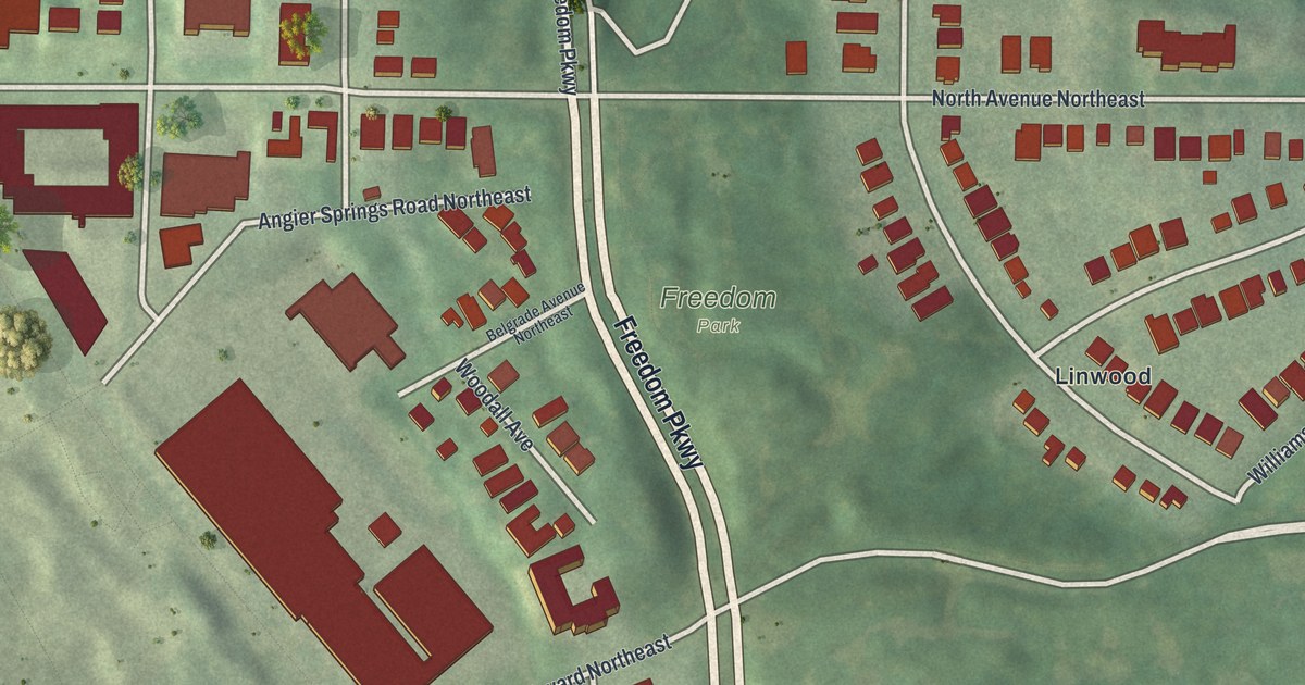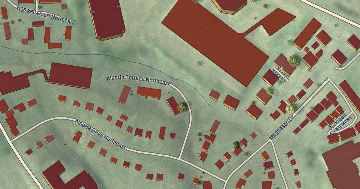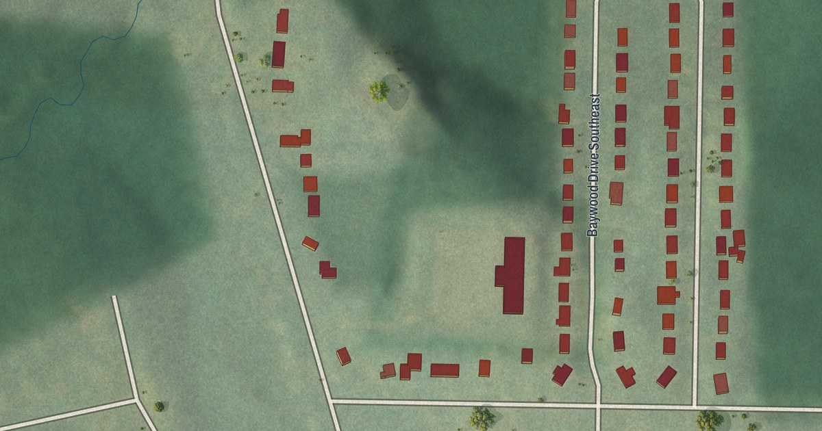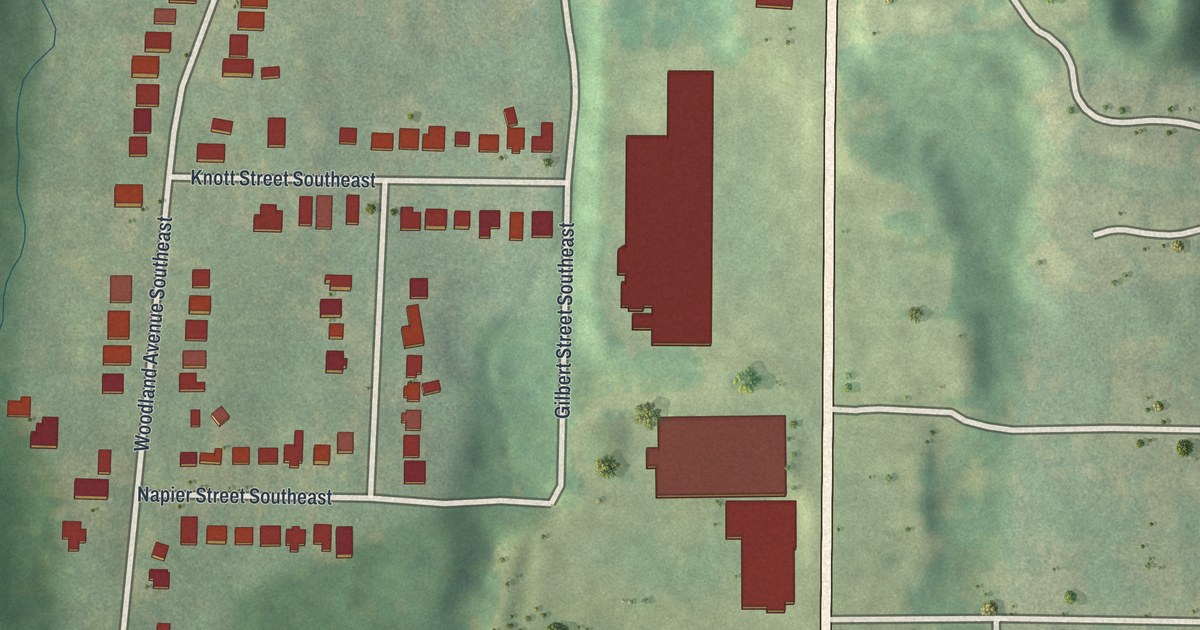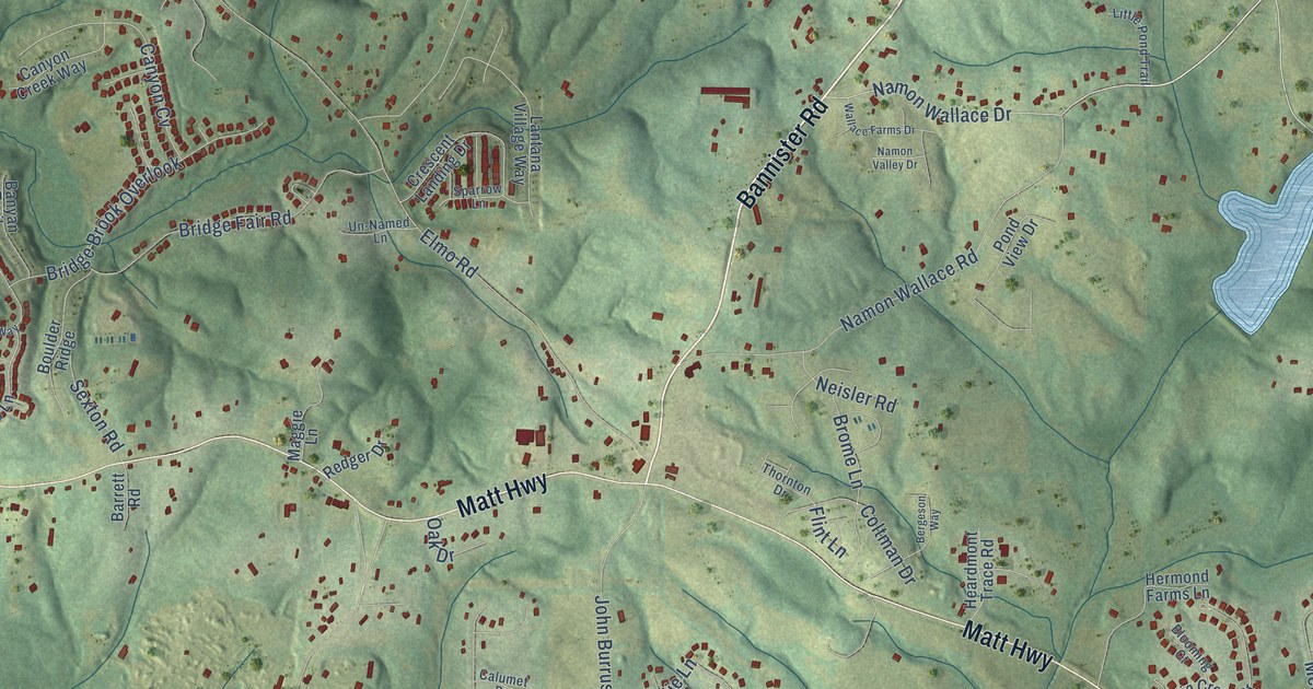
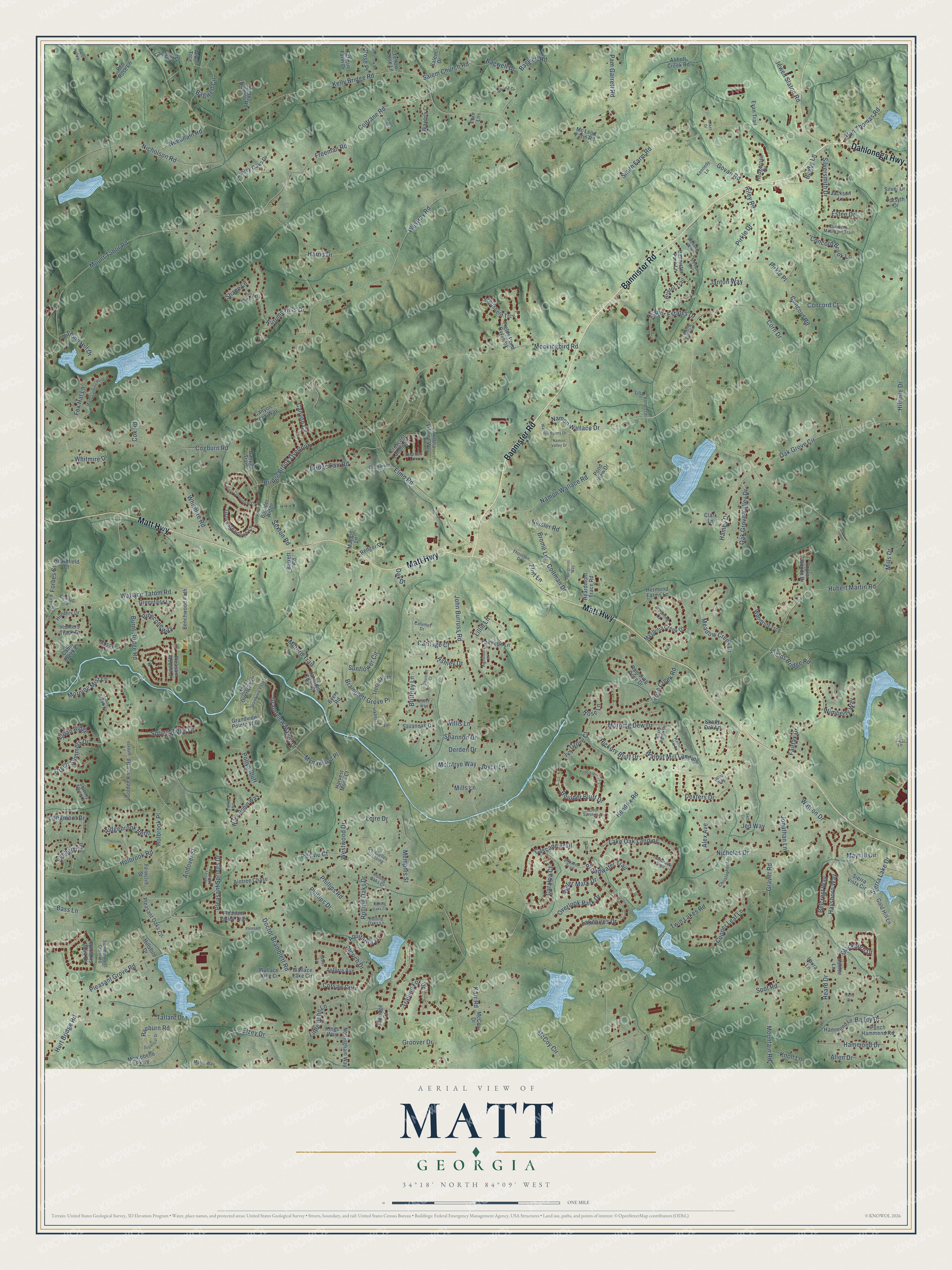
This beautifully detailed map of Matt, Georgia was created in 2026 using aerial imagery combined with modern topographical, census, street and landmark data. It’s a one-of-a-kind view of Matt that combines accurate data with a vintage aesthetic. The map shows every building in its true location, many of the roads carry their names, and the shaded topographic relief shows the shape of the land.
Explore an aerial view of Matt, Georgia
On the map you’ll find Bannister Road, Matt Highway, Dahlonega Highway, Namon Wallace Road, Riley Road, Namon Wallace Drive, Govan Road, Bagwell Road, Coltrane Road, Rolling Oaks Drive, Kelly Bridge Road, Doctor Bramblett Road, and more. If you look closely you can even find your house accurately drawn in its correct location. Zoom in on the preview to look for yours.
Take a closer look at the Matt map
Names on this map
These names are printed on this map.
Streets and roads: Bannister Road, Matt Highway, Dahlonega Highway, Namon Wallace Road, Riley Road, Namon Wallace Drive, Govan Road, Bagwell Road, Coltrane Road, Rolling Oaks Drive, Kelly Bridge Road, Doctor Bramblett Road.
More street names, A to Z
Abbott Creek Road, Aintree Chase, Alan Thomas Road, Aldrich Drive, Aldridge Court, Alex Avenue, Allen Drive, Andover Street, Ansley Manor Court, Aquitania Lane, Arbor Trce, Ashlee Lane, Ashley Drive, Ashley Oaks Drive, Astoria Avenue, Atwater Trail, Autumn Hills Drive, Bagby Lane, Bagwell Circle, Bagwell Drive, Bailey Drive, Bannister Park Lane, Banyan Trail, Barrett Road, Bass Lane, Belcrest Way, Benchwood Path, Bergeson Way, Berry Patch Drive, Blackburn Drive, Blooming Court, Boulder Bluff Drive, Boulder Ridge, Bramblett Grove Place, Bridge Brook Overlook, Bridge Fair Road, Bristol Trail, Brittney Lane, Broadwater Trail, Brome Lane, Burnt Bridge Road, Byers Road, Cabin Creek Court, Calumet Drive, Camellia Drive, Canyon Creek Way, Canyon Cv, Carriage Court, Cascade Trail, Castel Lane, Catalpa Court, Christopher Lane, Churchill Court, Clark Lane, Cletus Nichols Road, Cogburn Road, Coltman Drive, Concord Brook Lane, Concord Court, Concord Mountain Trail, Concord Road, Cool Creek Court, Cool Springs Drive, Copper Leaf Lane, Corabelles Crossing, Corn Drive, Corsair Curv, Cox Road, Crescent Landing Drive, Dana Way, Derden Drive, Devon Drive, Dexters Drive, Dixon Drive, Donna Drive, Elmhurst Lane, Elmo Road, Elzey Drive, Estee Drive, Evan Trail, Fairfax Drive, Fairhope Lane, Fast Lane, Fatique Farm Drive, Ferncliff Street, Fern Lane, Fields Bridge Road, Fields Pond Overlook, Flint Lane, Forbes Street, Forsyth Drive, Foxdale Lane, Fox Hat Lane, Freeman Road, Full Harvest Court, Golden Knoll Road, Gold Hill Lane, Grandview Manor Drive, Grandview Pointe Way, Grandview Vista Street, Gravitt Road, Greenfield Lane, Green Summers Drive, Groover Drive, Grove Meadows Lane, Hamby Drive, Hamilton Cove Court, Hammond Drive, Hammond Lane, Harris Drive, Harvest Moon Court, Haysboro Way, Heard Drive, Heardmont Trace Road, Heathfield Court, Hedgerose Drive, Hendrix Road, Hermond Farms Lane, Hickory Bluff Drive, Highwoods Drive, Hillshire Drive, Hillside Drive, Holbrook Place, Holbrook Road, Holtzclaw Road, Hubert Martin Road, Hunters Drive, Hunters Trace Drive, Hurt Bridge Road, Inkberry Trail, Ivy Grove Court, Jackson Lane, Janton Way, Jed Way, Jewell Slaton Road, John Burruss Road, Jonathan Lane, Joyce Lane, Karr Road, Kelly Drive, Kennedy Lane, Kings Way, Kinsey Way, Kirby Drive, Knoll Lane, Lakeaires Drive, Lake Oak Landing, Lantana Village Way, Laura Lane, Lillie Lane, Little John Lane, Little Pond Trail, Loire Drive, Longmont Drive, Maggie Lane, Magnolia Creek Drive, Manor Estates Drive, Manor Overlook Drive, Marie Way, Matts Landing Point, Mayhill Circle, McBrayer Road, McCoy Circle, McCoy Drive, McIntrye Way, Mc Leod Farm Road, Meadow Creek Drive, Memphis Street, Mikes Drive, Milford Trail, Mills Drive, Mills Lane, Mockingbird Road, Montebello Parkway, Morning Dew Drive, Morning Mist Lane, Mossy Lane, Mountain Road, Mount Tabor Road, Mynawood Place, Namon Valley Drive, Needham Road, Neisler Road, Nicholas Drive, Nicholson Road, Nottingham Way, Oak Drive, Oak Grove Circle, Oak Grove Valley Drive, Overlook Park Drive, Owl Brow Court, Owls Hollow, Pam Garrett Road, Pebblestone Lane, Phillips Drive, Phillips Road, Pinecone Way, Pirkle Drive, Pirkle Place, Pleasant Drive, Pleasant Grove Road, Pleasant Oaks Circle, Pleasant Springs Drive, Pleasant Valley Trail, Pleasant Woods Drive, Pollys Bluff, Pond View Drive, Poplar Woods Drive, Punch Hammond Road, Raeburn Road, Ramdling Rose Drive, Redger Drive, Red Rose Lane, Ridgebrook Bend, Rolling Oaks Circle, Rolling Oaks Court, Rolling Oaks Lane, Rose Creek Road, Rose Lane, Rose Place, Royale Court, Salem Church Road, Salem Drive, Savannah Drive, Scottsfield Trce, Serenity Stone Court, Seth Circle, Sexton Road, Shady Oak Lane, Shane Lane, Shannon Drive, Sierra Lake Drive, Sierra Vista Circle, Silver Drive, Silversmith Drive, Sloan Ridge, Smith Farm Road, Sparrow Lane, Spot Road, Spring Ridge Drive, Stone Hill Drive, Sugarloaf Drive, Summerpoint Crossing, Sunflower Circle, Talking Tree Lane, Tallant Drive, Tamarack Trail, Thornton Drive, Trailing Fox Drive, Trefoil Path, Twin Lakes Road, Un-Named Lane, Vista Crossing Way, Wake Robin Way, Wallace Farms Drive, Wallace Lake Ci, Wallace Lake Circle, Wallace Tatum Road, Walnut Mill Court, Walnut Mill Landing, Water Mark Drive, Watson Drive, Waverly Court, Wessex Way, Westray Road, Westwood Drive, Whitmire Drive, Whitmire Road, Williams Point Drive, Willis Lane, Wimberly Way, Woodruff Trce, Yellow Rose Lane.
See it on a wall
The Matt map as a framed print. Swipe for more.


This beautifully detailed map of Matt makes an attractive addition to your office, library, or den, and it can even be used to teach children the geography and history of the area. It also makes a great gift for someone who left Matt and still calls it home. When you’re done exploring, click here to get your copy of the Matt map.