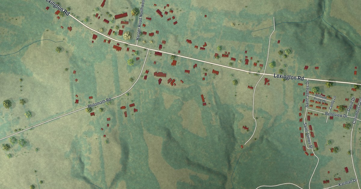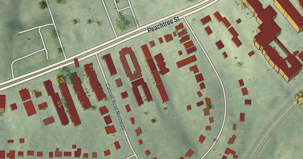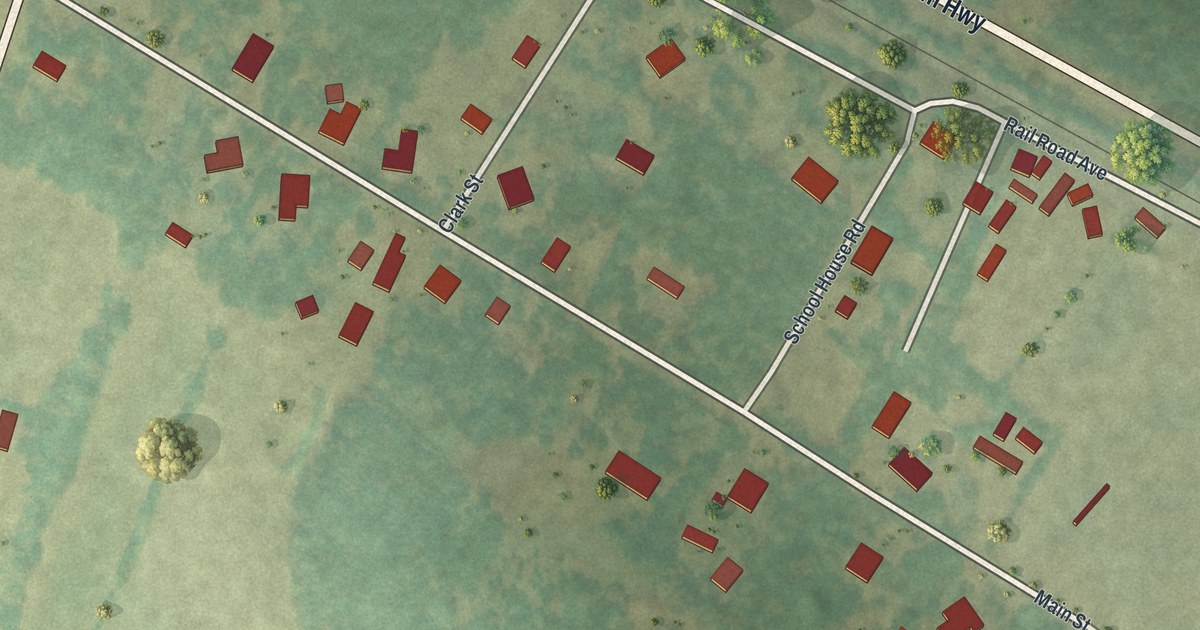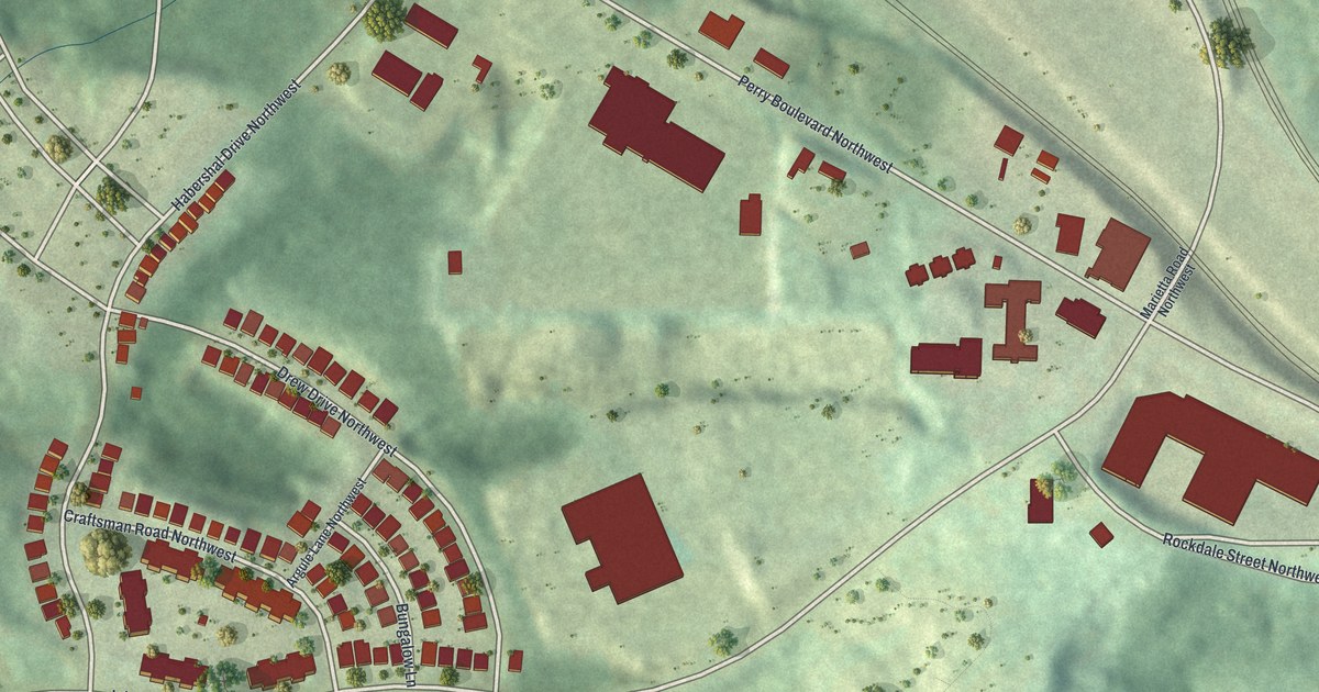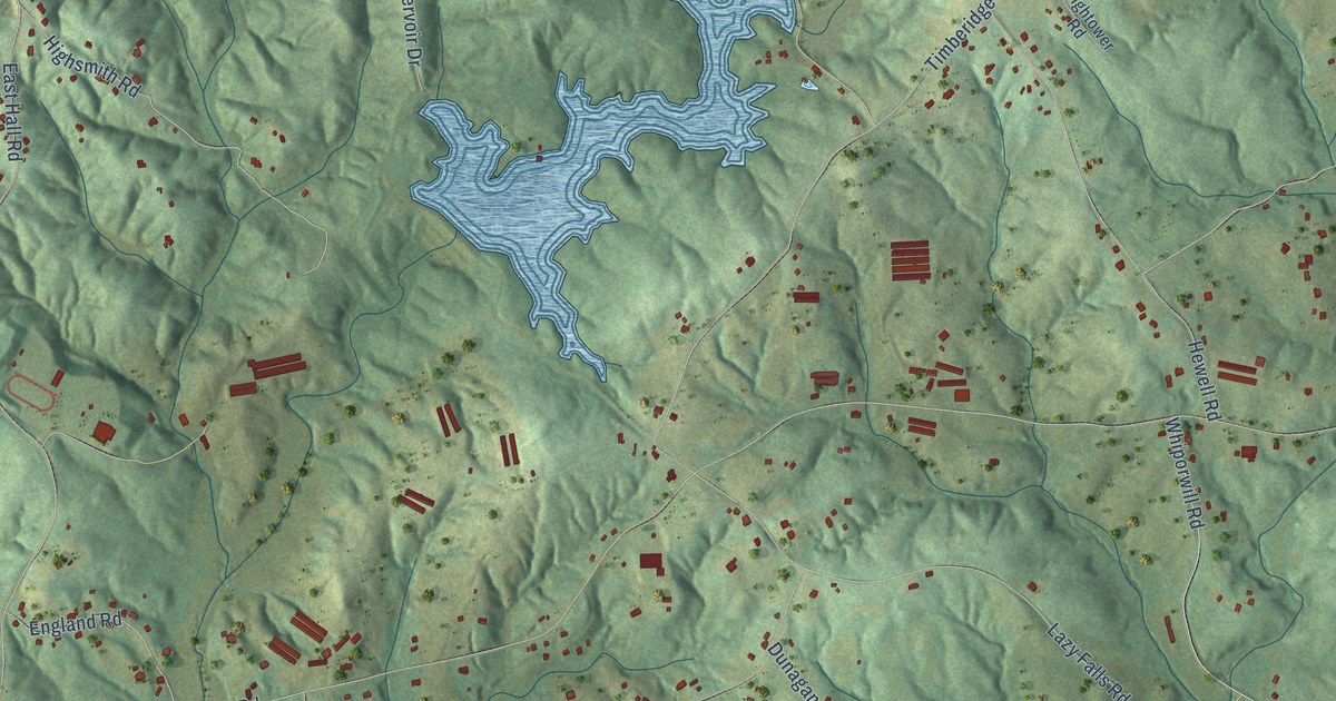
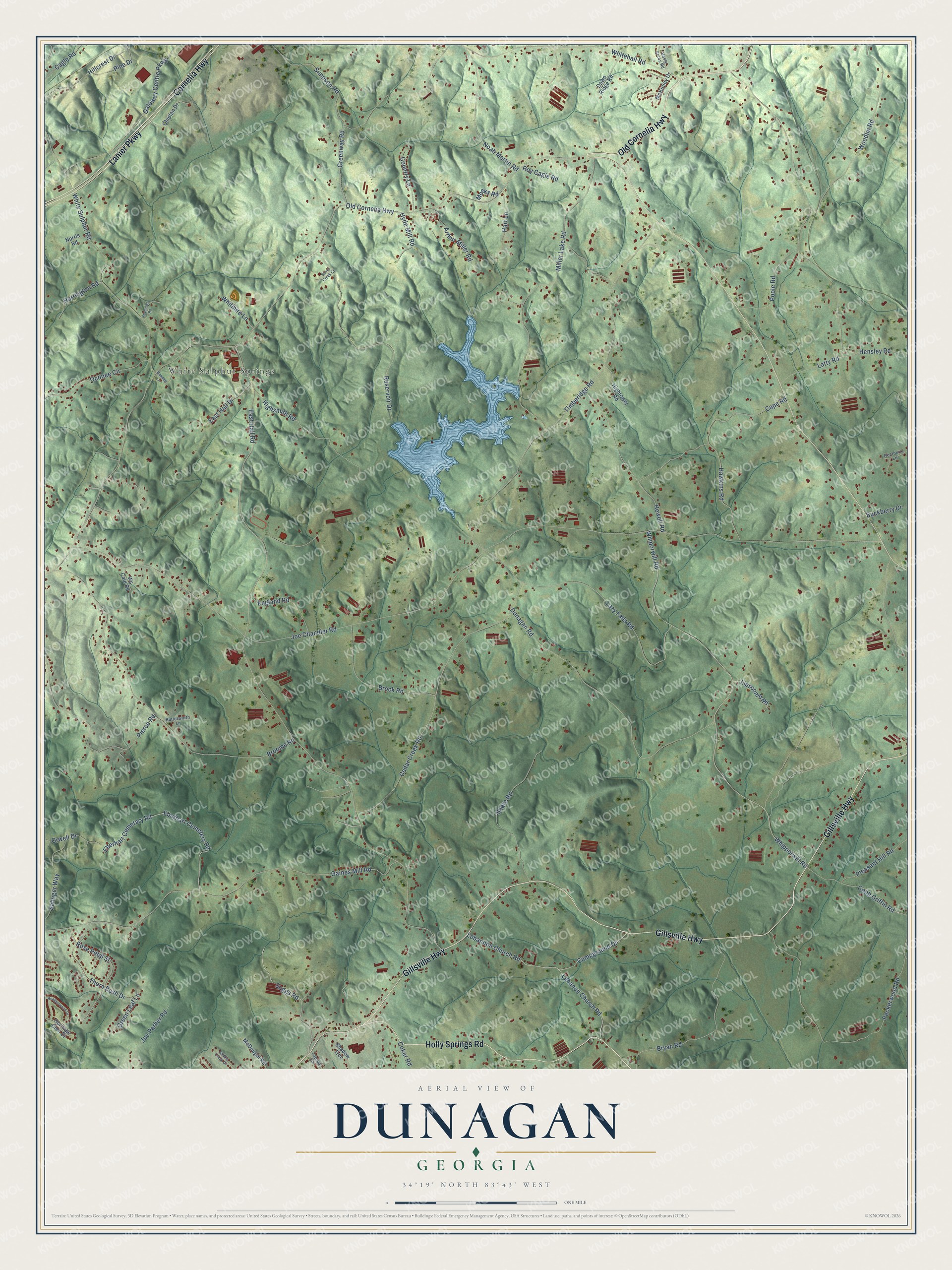
This beautifully detailed map of Dunagan, Georgia was created in 2026 using aerial imagery combined with modern topographical, census, street and landmark data. It’s a one-of-a-kind view of Dunagan that combines accurate data with a vintage aesthetic. The map shows every building in its true location, many of the roads carry their names, and the shaded topographic relief shows the shape of the land.
Explore an aerial view of Dunagan, Georgia
On the map you’ll find White Sulphur Springs, along with Old Cornelia Highway, Gillsville Highway, Cornelia Highway, Lanier Parkway, Holly Springs Road, Suggs Road, Joe Chandler Road, East Hall Road, Whiporwill Road, Whipperwill Road, Timberidge Road, and more. If you look closely you can even find your house accurately drawn in its correct location. Zoom in on the preview to look for yours.
Take a closer look at the Dunagan map
Names on this map
These names are printed on this map.
Places: White Sulphur Springs.
Streets and roads: Old Cornelia Highway, Gillsville Highway, Cornelia Highway, Lanier Parkway, Holly Springs Road, Suggs Road, Joe Chandler Road, East Hall Road, Whiporwill Road, Whipperwill Road, Timberidge Road, Latty Road.
More street names, A to Z
Arthur Miller Road, Bennett Lane, Brock Road, Broome Road, Bryan Road, Buckberry Drive, Butterworth Lane, Cagle Road, Campground Drive, Cape Road, Cedar Creek Road, Chiplan Drive, Cobb Griffin Road, Coker Road, Country Lane, Dawn Ridge Road, Deerberry Lane, Dunagan Road, East Hall Drive, Eberhart Cemetary Road, Eberhart Cemetery Road, England Road, Gaines Mill Road, Gateway Centre Parkway, Green Leaf Lane, Greenway Road, Harrington Road, Hart Lane, Hasty Acres Road, Hawkins Road, Heatherwood Drive, Hensley Road, Heritage Glen Drive, Hewell Road, Highsmith Road, Hightower Road, Hillcrest Drive, Hyde Mill Road, Joe Parker Road, Laprad Circle, Lazy Falls Road, Lebannon Church Road, Lebanon Church Road, Lipscomb Road, McDougal Road, McKinley Drive, Meeks Road, Miller Lake Road, Noah Martin Road, Norris Road, Oconee Circle, Orwell Drive, Peckerwood Road, Pierce Road, Pine Drive, Pleasant Hill Road, Poole Road, Reservoir Drive, Reynolds Road, Rose Petal Street, Roy Cagle Road, Saddle Creek Drive, Salinger Way, Shadow Trce, Simpson Road, Snare Road, Stone Creek Court, Thorn Bush Drive, Whitehall Road, White Sulphur Road, Whitmire Lane, Woodlin Road, Ws Cain Road.
See it on a wall
The Dunagan map as a framed print. Swipe for more.


This beautifully detailed map of Dunagan makes an attractive addition to your office, library, or den, and it can even be used to teach children the geography and history of the area. It also makes a great gift for someone who left Dunagan and still calls it home. When you’re done exploring, click here to get your copy of the Dunagan map.