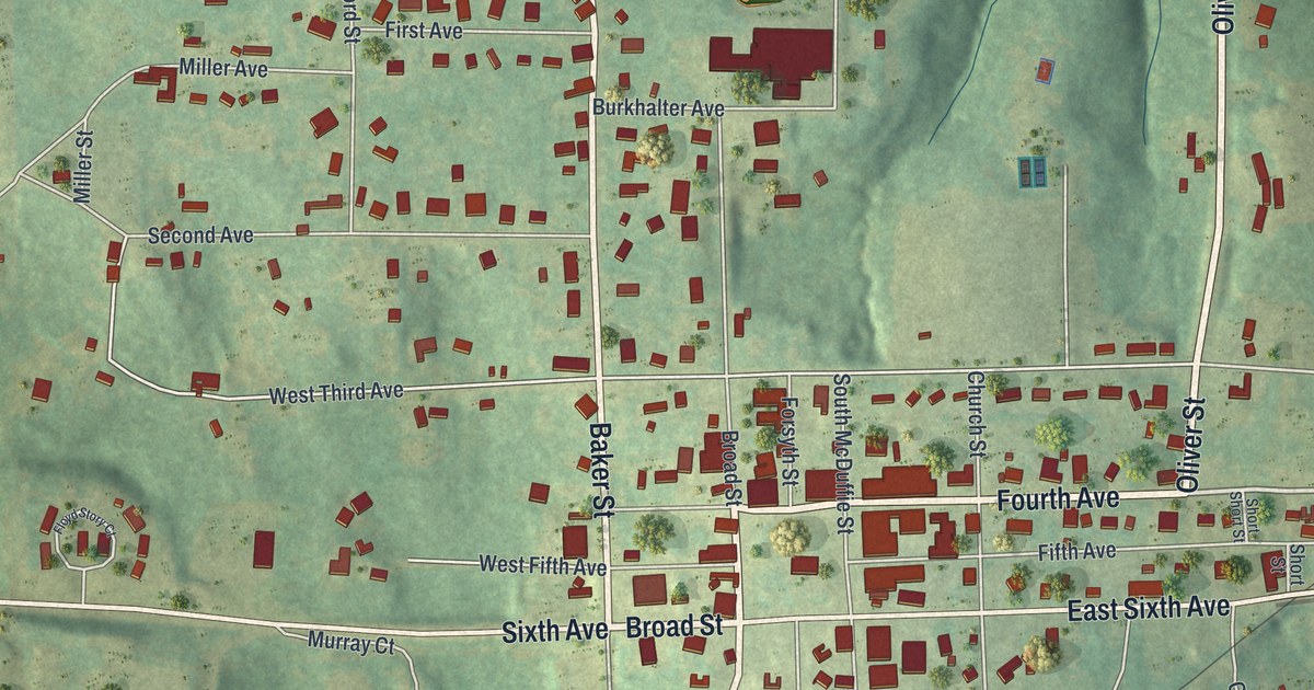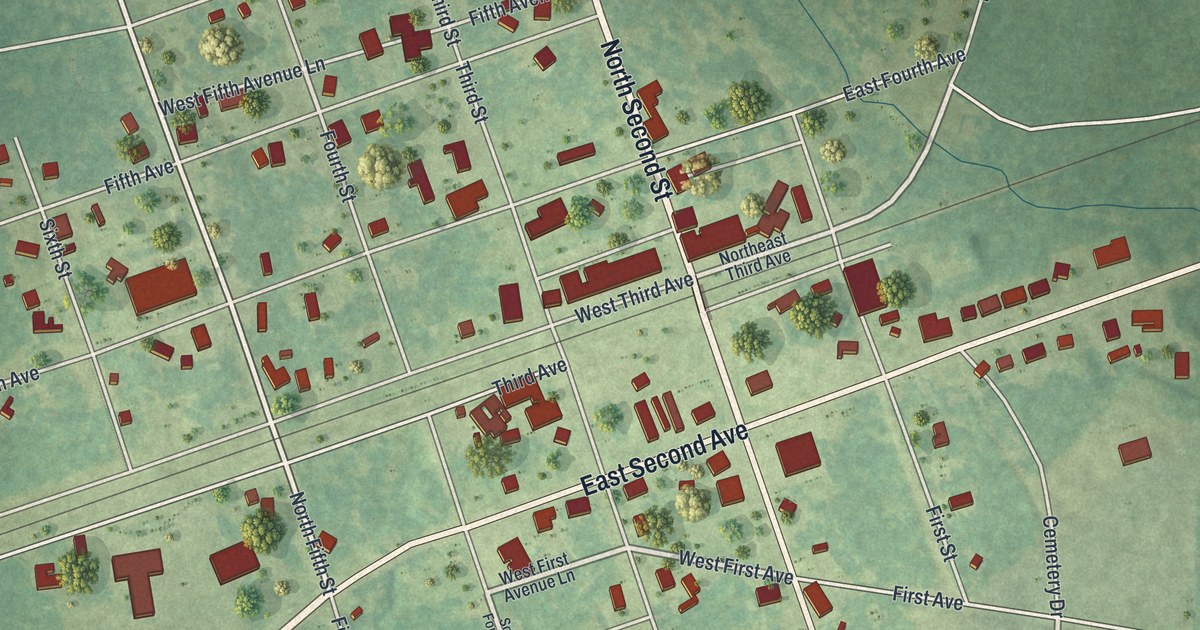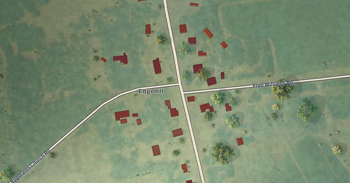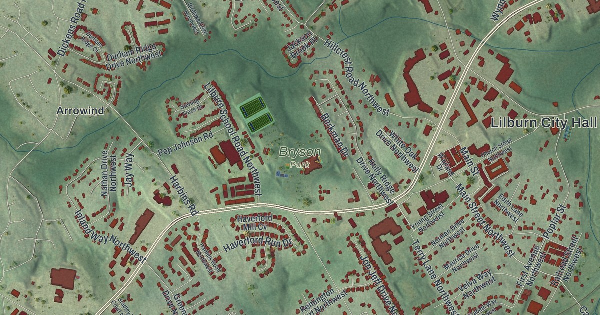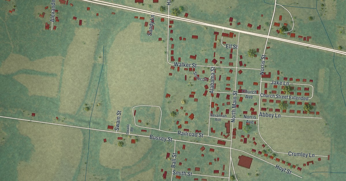
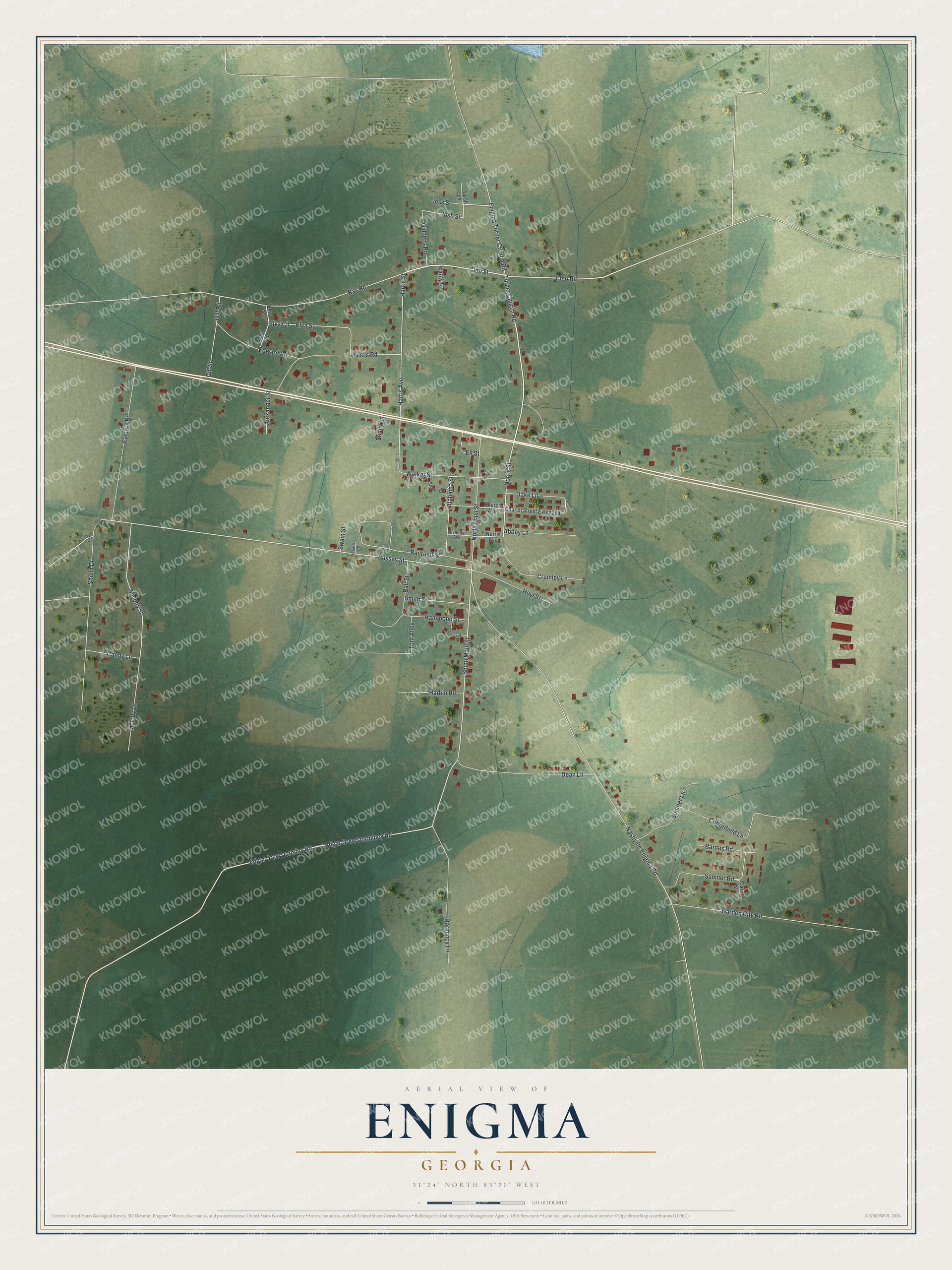
This beautifully detailed map of Enigma, Georgia was created in 2026 using aerial imagery combined with modern topographical, census, street and landmark data. It’s a one-of-a-kind view of Enigma that combines accurate data with a vintage aesthetic. The map shows every building in its true location, many of the roads carry their names, and the shaded topographic relief shows the shape of the land.
Explore an aerial view of Enigma, Georgia
On the map you’ll find Turner Church Road, Cleo Street, Norris Street, Cleo Road, Main Street, and more. If you look closely you can even find your house accurately drawn in its correct location. Zoom in on the preview to look for yours.
Did You Know?
John A. Ball founded this town in the late 1870s. People first called it Gunn and Weston, but Ball wanted a real name. He sent the state two choices, Lax and Enigma. Lax was already used nearby, so Enigma won. Ball explained that choosing a name had been a puzzle anyway.
Take a closer look at the Enigma map
Names on this map
These names are printed on this map.
Streets and roads: Turner Church Road, Cleo Street, Norris Street, Cleo Road, South Main Street, Bussey Street, Harris Street, Enigma Turner Church Road, Edgar Drew Dorminy Road, Josh Street, Melody Street, Candy Lane.
More street names, A to Z
Abbey Lane, Alabama Street, Alexander Street, Ball Street, Barnes Road, Church Avenue, Church Circle, Church Street Extended, Clara Street, Cottonfield Lane, Crumley Lane, Dean Lane, Dormincy Lane, Easters Road, Edgar Drew Dorminey Road, Edward Road, Ell Street, Elva Circle, Elva Street, Estol Road, Estol Street, Ferris Road, Garden City Road, Giddens Road, Gill Road, Gill Street, Hammond Street, Harbin Road, Harris Avenue, Hoyt Street, Ivy Lane, Jake Lane, Jess Street, Kathy Lane, Melody Lane, Nashville Enigma Road, Norris Avenue, North Main Street, Railroad Street, Ray Road, Sandy Lane, Sarah Lane, Savannah Avenue, Sheila Drive, Smith Street, Stoner Circle, Sumner Lane, Sumner Road, Swain Street, Swartz Road, Tom Alley, Walker Street.
See it on a wall
The Enigma map as a framed print. Swipe for more.


This beautifully detailed map of Enigma makes an attractive addition to your office, library, or den, and it can even be used to teach children the geography and history of the area. It also makes a great gift for anyone who grew up in Enigma or moved away. When you’re done exploring, click here to get your copy of the Enigma map.