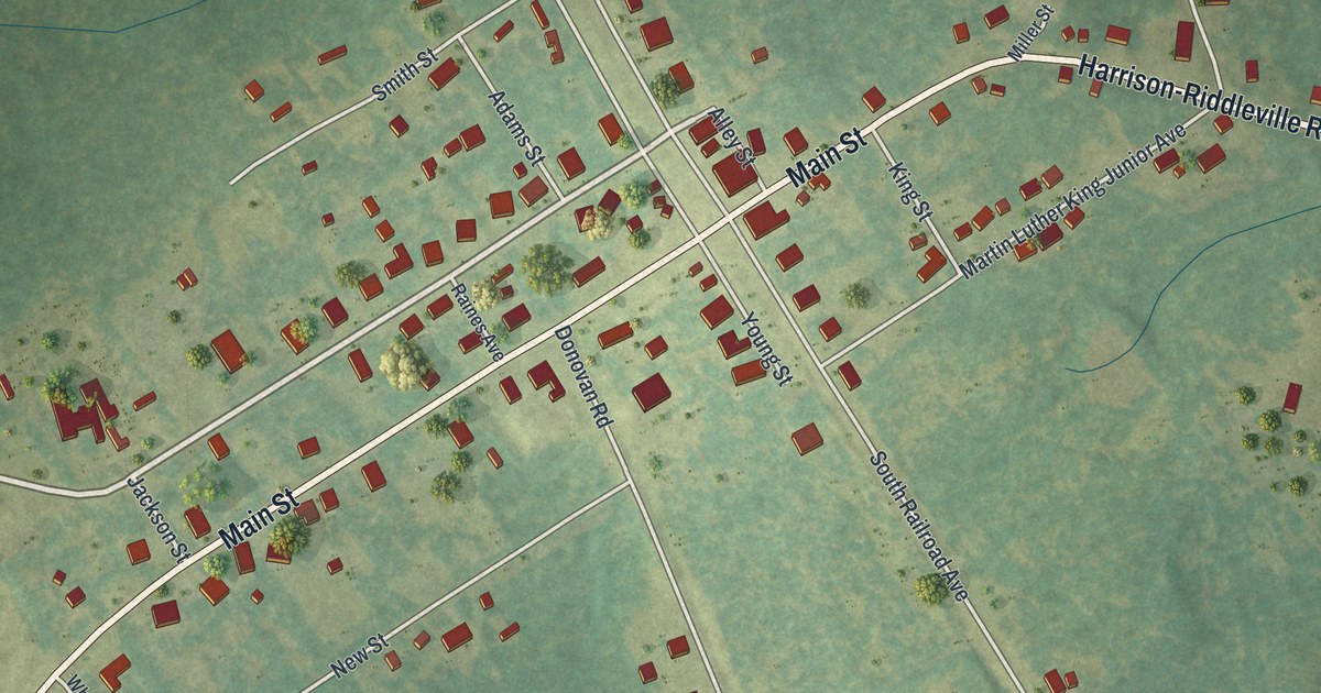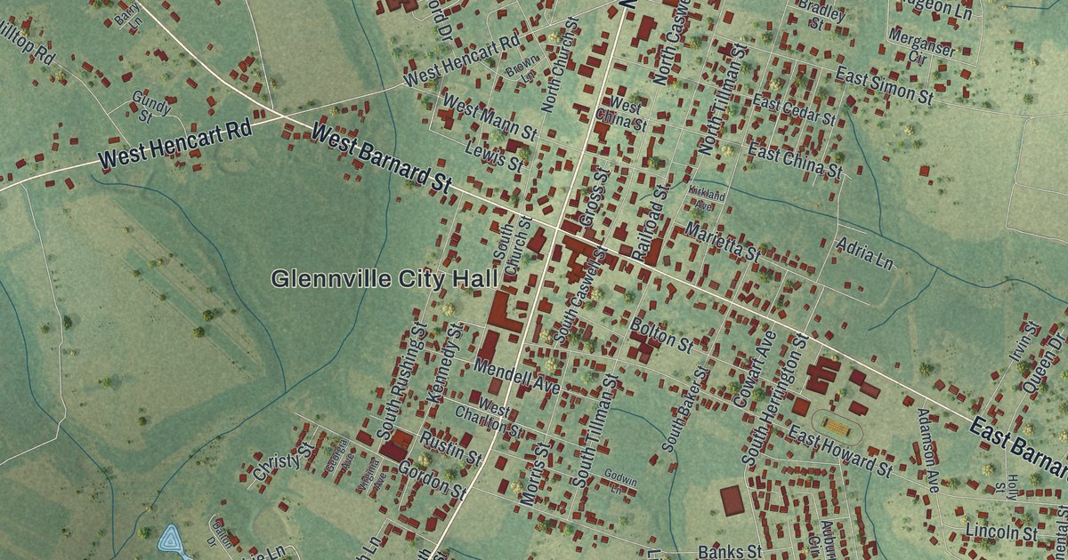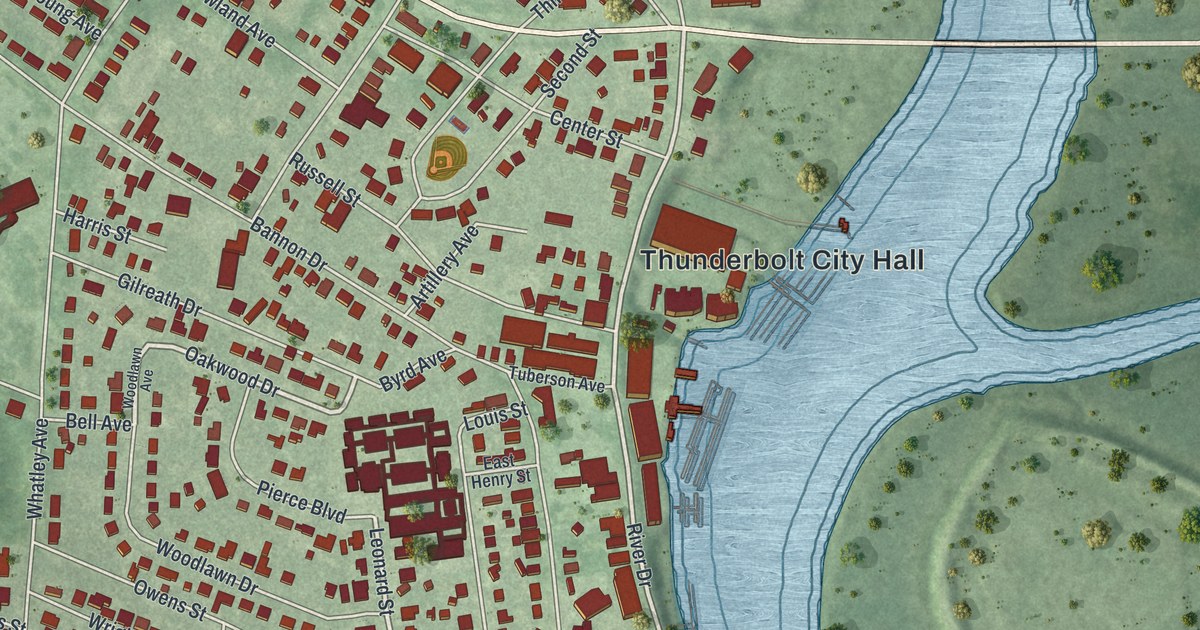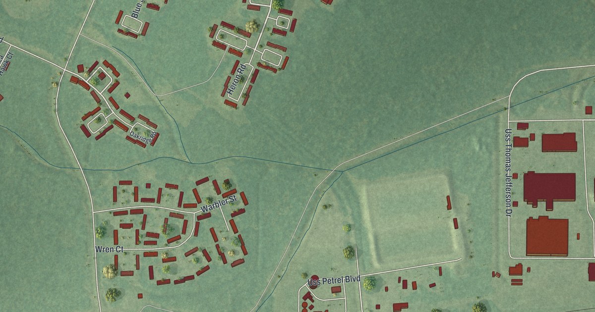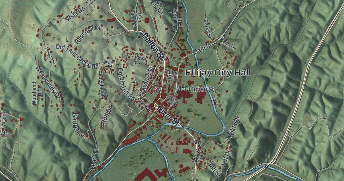
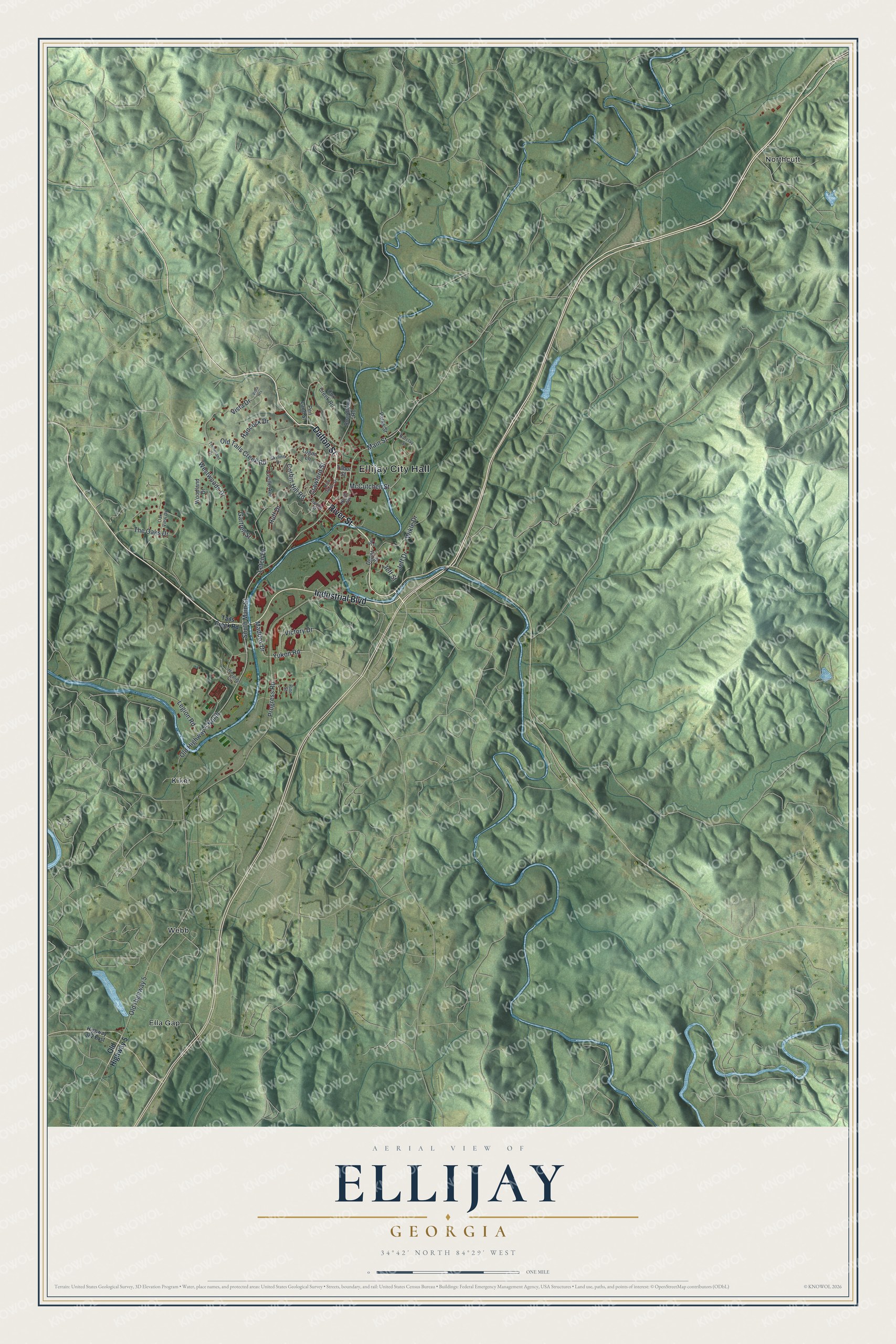
This beautifully detailed map of Ellijay, Georgia was created in 2026 using aerial imagery combined with modern topographical, census, street and landmark data. It’s a one-of-a-kind view of Ellijay that combines accurate data with a vintage aesthetic. The map shows every building in its true location, many of the roads carry their names, and the shaded topographic relief shows the shape of the land.
Explore an aerial view of Ellijay, Georgia
On the map you’ll find Ellijay City Hall, Ella Gap, Kiker, Northcutt, and Webb, along with Dalton Street, River Street, Industrial Boulevard, Tails Creek Road, and more. If you look closely you can even find your house accurately drawn in its correct location. Zoom in on the preview to look for yours.
Did You Know?
Ellijay’s name comes from Elatseyi, the name of a Cherokee village that stood where the Ellijay and Cartecay rivers meet. The Cherokee were forced out to Oklahoma in 1838. Ellijay became the Gilmer County seat in 1834. It stayed a remote mountain town until the railroad arrived in 1884 and set off a timber boom.
Take a closer look at the Ellijay map
Names on this map
These names are printed on this map.
Places: Ellijay City Hall, Ella Gap, Kiker, Northcutt and Webb.
Streets and roads: Dalton Street, River Street, Industrial Boulevard, McCutchen Street, Old Tails Creek Road, Old Highway 5, Maddox Drive, Crawford Street, Jeff Street, Old Highway 5 North, South Main Street, Progress Road.
More street names, A to Z
Barclay Street, Boardtown Road, Corbin Hill Road, Cox Creek Road, Depot Street, Gartrell Street, Hancock Drive, Highway 382 East, Hospital Circle, Huff Drive, Jeff Drive, Legion Road, Letch Drive, Logan Lane, Lucille Avenue, Main Street, North Avenue, North Gilmer Street, Oak View Drive, Parks Street, Pen Land Street, Pine Street, Ray Drive, Skyline Drive, Spring Street, Tabor Street, Tails Creek Road, The Oaks Drive, Timberland Drive, Victory Drive, Vista Drive, Vista Heights, Westwoods Drive, Wikle Drive, Woodland Drive, Yukon Road.
See it on a wall
The Ellijay map as a framed print. Swipe for more.


This beautifully detailed map of Ellijay makes an attractive addition to your office, library, or den, and it can even be used to teach children the geography and history of the area. It also makes a great gift for someone who left Ellijay and still calls it home. When you’re done exploring, click here to get your copy of the Ellijay map.