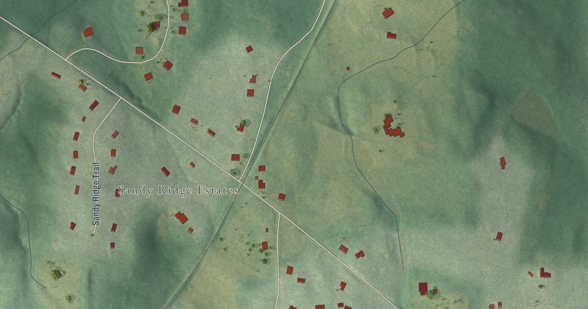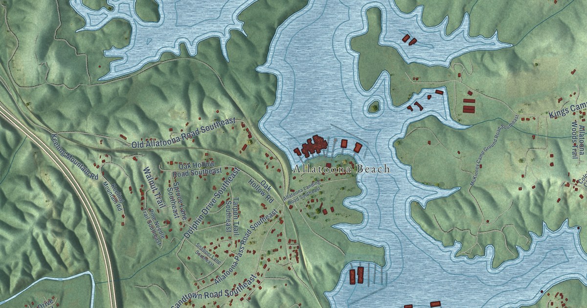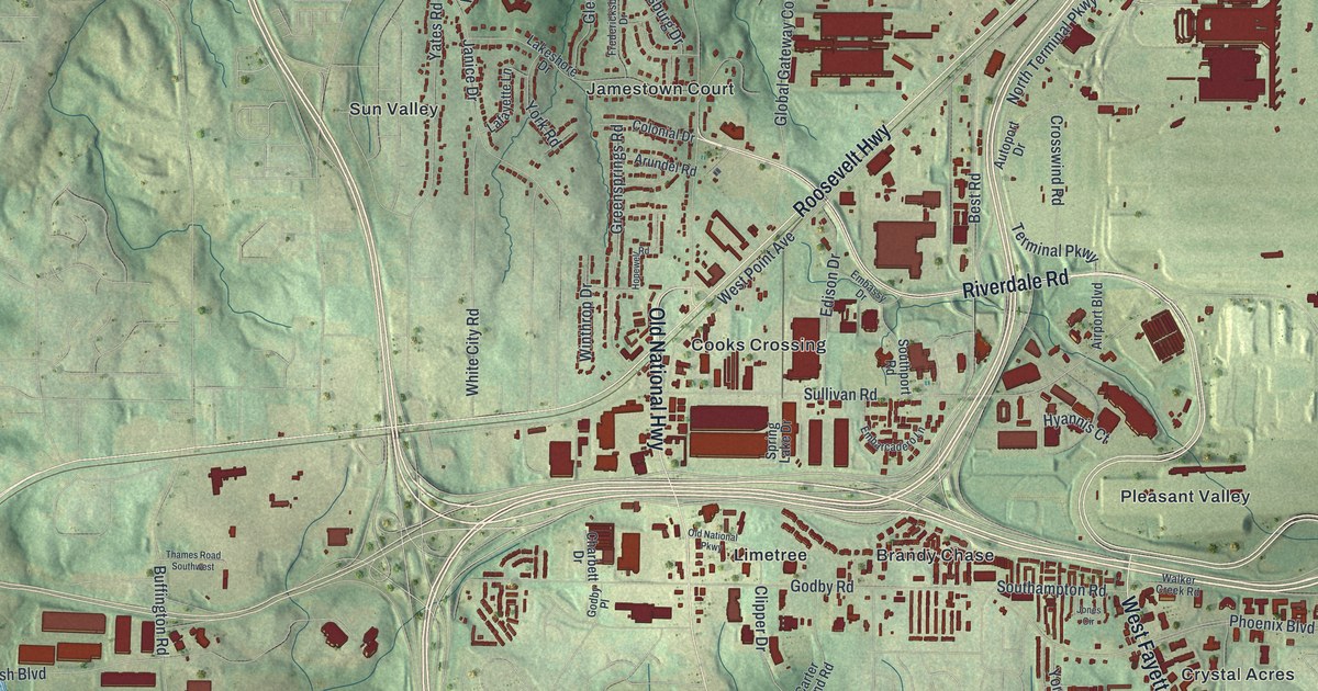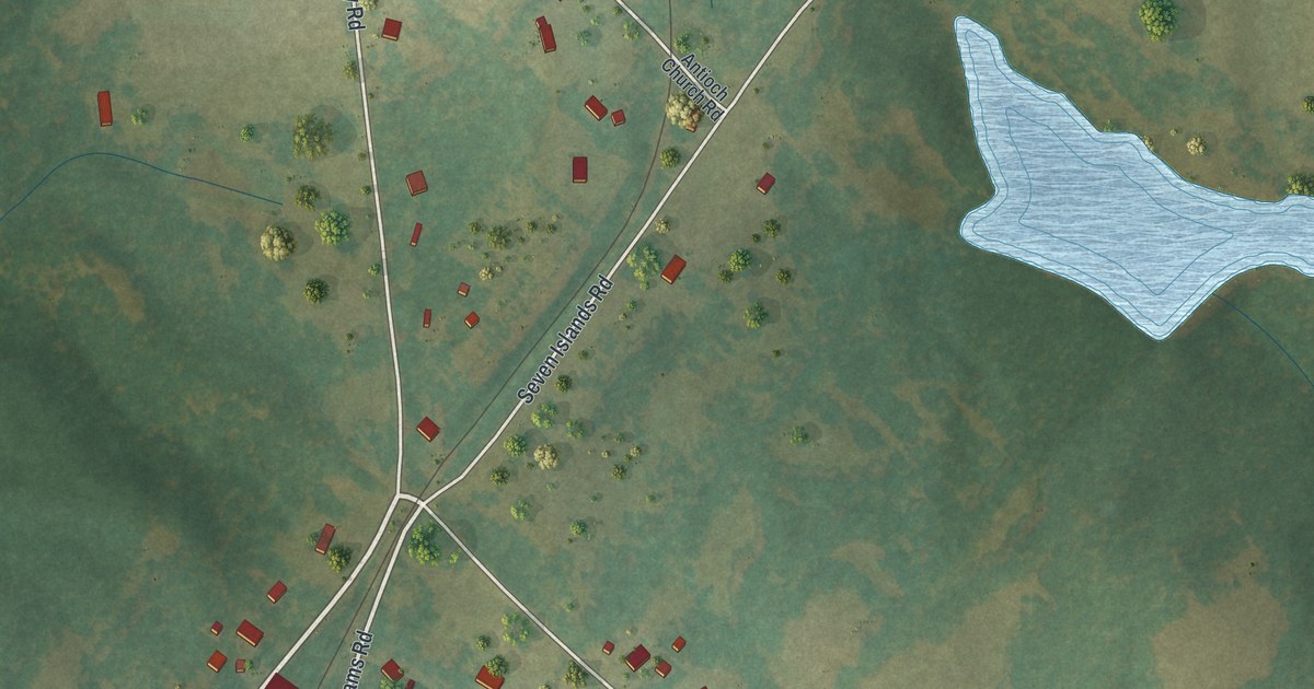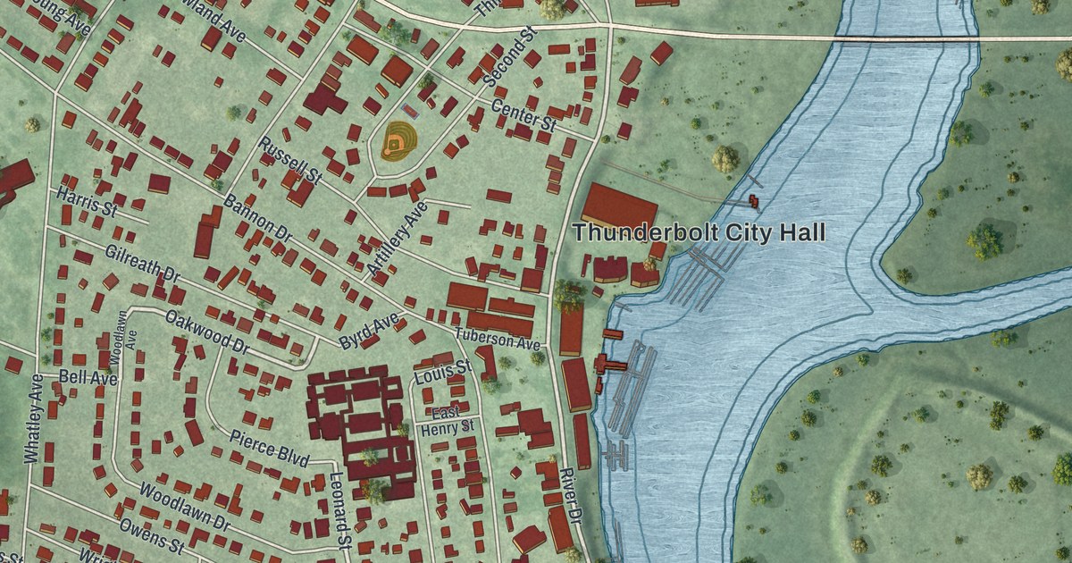
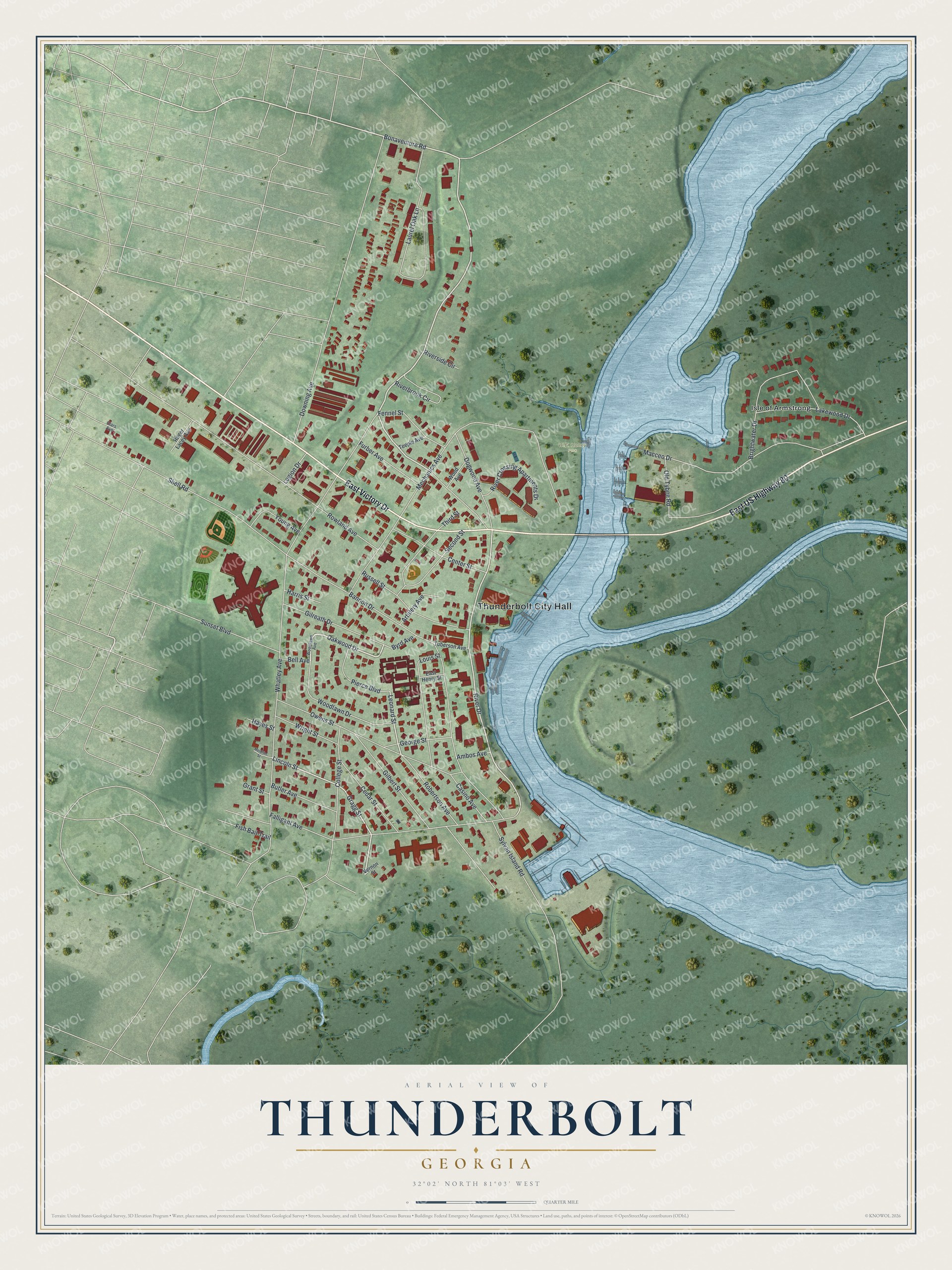
This beautifully detailed map of Thunderbolt, Georgia was created in 2026 using aerial imagery combined with modern topographical, census, street and landmark data. It’s a one-of-a-kind view of Thunderbolt that combines accurate data with a vintage aesthetic. The map shows every building in its true location, many of the roads carry their names, and the shaded topographic relief shows the shape of the land.
Explore an aerial view of Thunderbolt, Georgia
On the map you’ll find Thunderbolt City Hall, Isle of Armstrong, and W.E. Honey Park, along with Victory Drive, Oakwood Drive, Gragg Street, Lincoln Street, and more. If you look closely you can even find your house accurately drawn in its correct location. Zoom in on the preview to look for yours.
Did You Know?
James Oglethorpe explained the name Thunderbolt in an old letter. He wrote that a thunderbolt shattered a rock here. A spring then gushed from the ground, and its water always smelled of brimstone. The spot guarded a back approach to Savannah and held early forts. That’s from the 1917 Standard History of Georgia.
Take a closer look at the Thunderbolt map
Names on this map
These names are printed on this map.
Places: Thunderbolt City Hall, W.E. Honey Park and Isle of Armstrong.
Streets and roads: East US Highway 80, East Victory Drive, Oakwood Drive, Gragg Street, Lincoln Street, Bonaventure Road, River Drive, Leonard Street, Whatley Avenue, Mechanics Avenue, Downing Avenue, Rowland Avenue.
More street names, A to Z
Ambos Avenue, Artillery Avenue, Bannon Drive, Bell Avenue, Brightwater Drive, Butler Avenue, Byrd Avenue, Casino Avenue, Cedar Street, Center Street, Clars Avenue, College Street, Dogwood Avenue, East Henry Street, Falligant Avenue, Fennel Street, Fish Bait Trail, Furber Avenue, George Street, Gilbert Street, Gilreath Drive, Grant Street, Harris Street, Hayes Street, Lakewood Drive, Laurel Oak Lane, Legion Drive, Louis Street, Macceo Drive, Meldrim Street, Old Tybee Road, Owens Street, Pierce Boulevard, Riverbrook Circle, River Crossing Apartments Drive, Riverside Circle, Robertson Avenue, Roger Lacey Avenue, Russell Street, Second Street, Shell Road, Sunset Boulevard, Sylvan Island Road, Teeple Avenue, Third Street, Tuberson Avenue, Vernon Street, Wood Avenue, Woodlawn Avenue, Woodlawn Drive, Wright Street, Young Avenue.
See it on a wall
The Thunderbolt map as a framed print. Swipe for more.


This beautifully detailed map of Thunderbolt makes an attractive addition to your office, library, or den, and it can even be used to teach children the geography and history of the area. It also makes a great gift for anyone who grew up in Thunderbolt or moved away. When you’re done exploring, click here to get your copy of the Thunderbolt map.