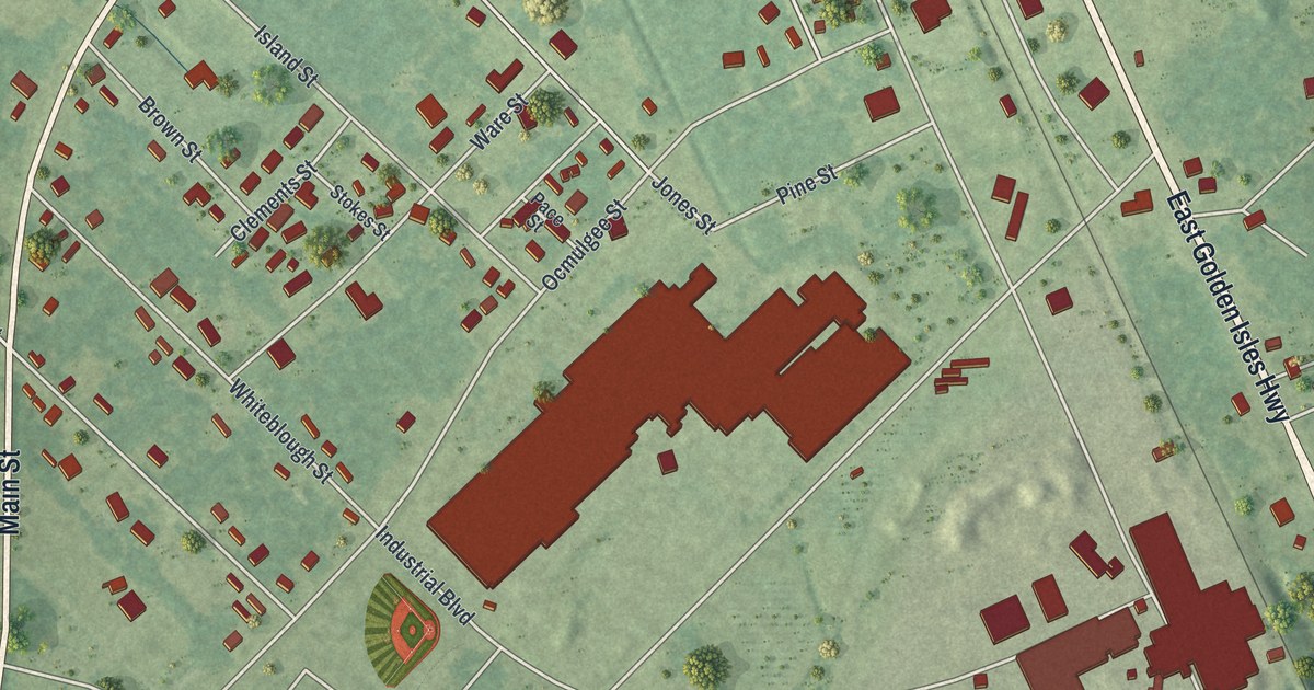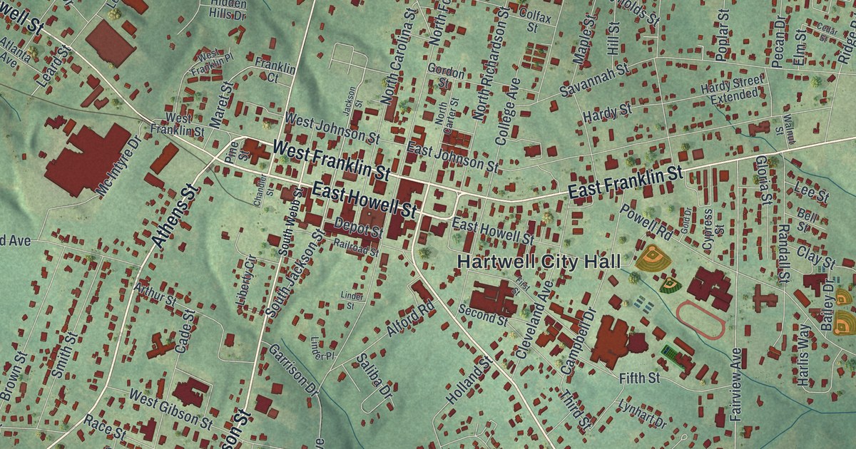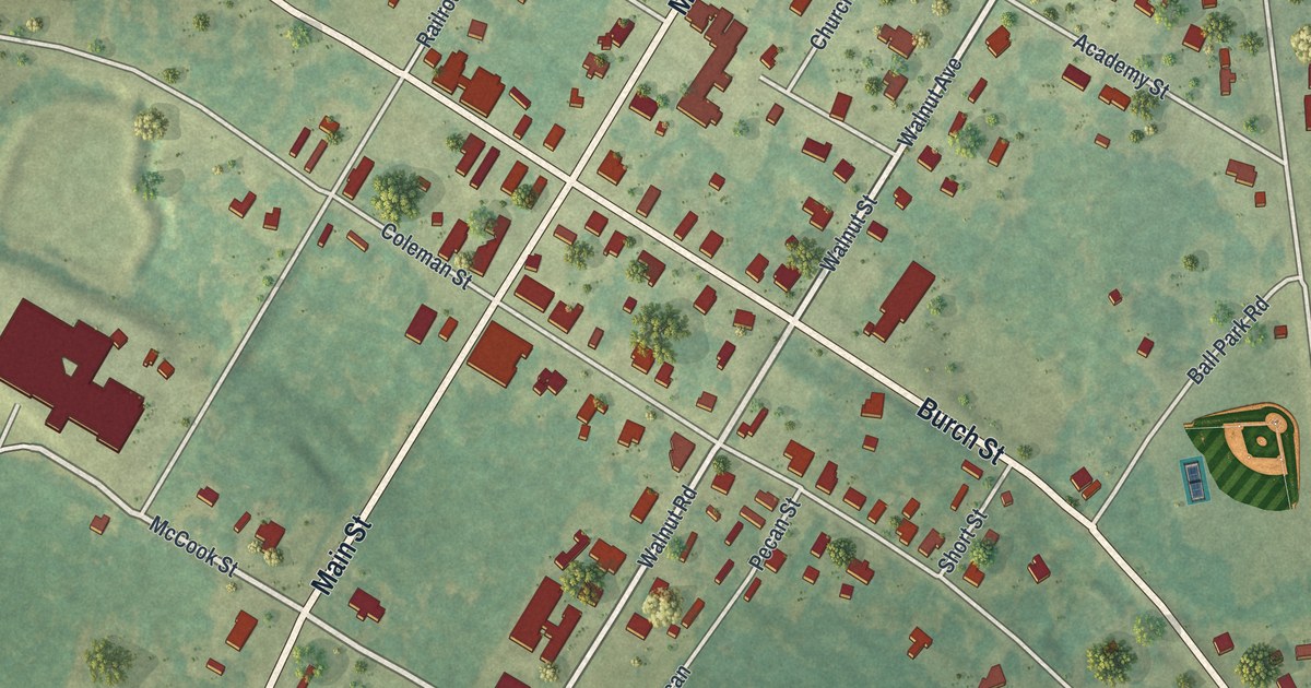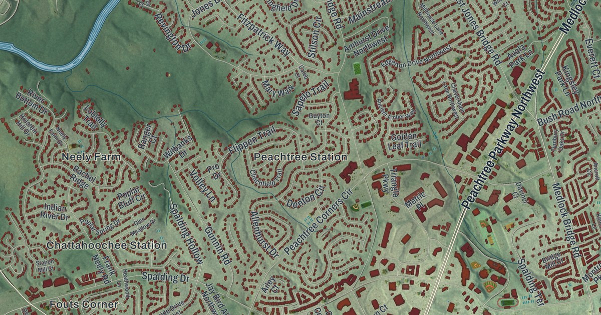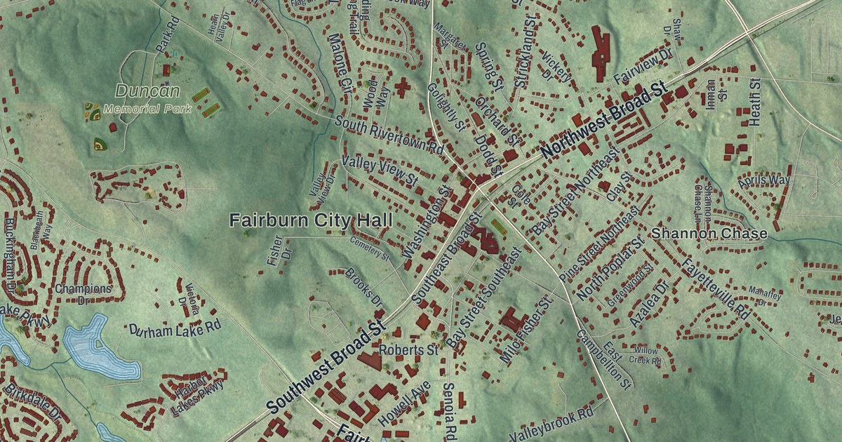
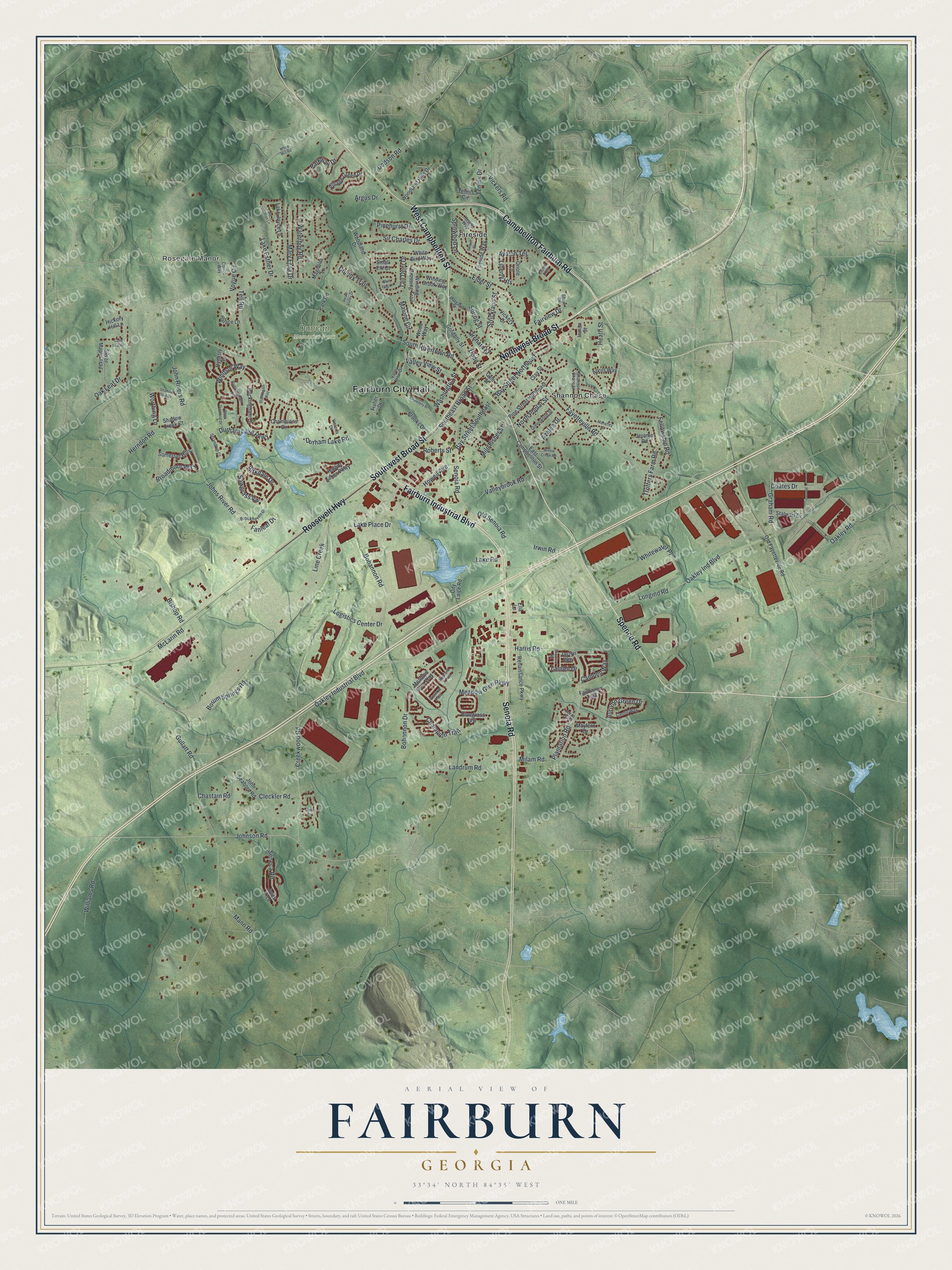
This beautifully detailed map of Fairburn, Georgia was created in 2026 using aerial imagery combined with modern topographical, census, street and landmark data. It’s a one-of-a-kind view of Fairburn that combines accurate data with a vintage aesthetic. The map shows every building in its true location, many of the roads carry their names, and the shaded topographic relief shows the shape of the land.
Explore an aerial view of Fairburn, Georgia
On the map you’ll find Fairburn City Hall, Fireside, and Duncan Memorial Park, along with Campbellton Fairburn Road, Spence Road, Fairburn Industrial Boulevard, Campbellton Street, and more. If you look closely you can even find your house accurately drawn in its correct location. Zoom in on the preview to look for yours.
Did You Know?
The city took its name from Fairburn in England. In the 1850s, nearby Campbellton refused the Atlanta and West Point Railroad because of its noise. The tracks came to Fairburn instead. Voters made Fairburn the Campbell County seat in 1871, and Campbellton faded away.
Take a closer look at the Fairburn map
Names on this map
These names are printed on this map.
Places: Fairburn City Hall, Rosegate Manor, Duncan Memorial Park, Fireside and Shannon Chase.
Streets and roads: Campbellton Fairburn Road, Spence Road, Fairburn Industrial Boulevard, West Campbellton Street, Northwest Broad Street, Senoia Road, Roosevelt Highway, Southwest Broad Street, Oakley Industrial Boulevard, Bohannon Road, Creekwood Road, Johnson Road.
More street names, A to Z
Aprils Way, Argus Drive, Arran Point, Autumn Green Drive, Avalon Terrace, Azalea Drive, Bay Street Northeast, Bay Street Southeast, Birkdale Drive, Bishop Road, Black Diamond Drive, Blackheath Way, Blue Flag Lane, Bluegrass Vw, Bohannon Drive, Borum Springs Road, Broadmoor Way, Brookhaven Drive, Brooks Drive, Buckingham Drive, Buckingham Lane, Camden Way, Cane Leaf Drive, Capitol Knoll, Carll Court, Castle Way, Cemetery Street, Champions Drive, Champion Trail, Chastain Road, City Laice Road, Clay Street, Cleckler Road, Coates Drive, Cole Street, Colony Trail, Corico Way, Dodd Street, Dodson Road, Durham Lake Parkway, Durham Lake Road, Dynasty Drive, East Campbellton Street, Elder Street, Ella Lane, Ember Court, Fairhaven Trail, Fairview Drive, Fanleaf Drive, Fayetteville Road, Fellowship Road, Fireside Way, Fisher Drive, Golightly Street, Graham Road, Greenwood Street, Gullatt Road, Harbor Lakes Parkway, Harris Road, Hearn Valley Drive, Hearth Way, Heath Street, Herndon Road, Hickory Hill Lane, Highland Trce, Howell Avenue, Inman Street, Irwin Road, Jaclyn Way, Jerome Road, John Rivers Road, John Seaborn Road, Johns River Road, Jules Trce, Lake Esther Drive, Lake Jonathan Lane, Lake Joyce Lane, Lake Place Drive, Lake Road, Landrum Road, Lauren Drive, Liberty Heights, Line Creek, Logistics Center Drive, Longino Road, Magnolia Lane, Mahaffey Drive, Malone Circle, Mann Road, Margaret Street, Mary Erna Drive, Mayfern Drive, McLarin Road, Meadow Glen Parkway, Meadow Glen Way, Milam Road, Milo Fisher Street, North Poplar Street, Oak Leaf Drive, Oakley Ind Boulevard, Oakley Road, Old Fayetteville Road, Old Senoia Road, Orchard Street, Oriole Lane, Palace Lane, Park Road, Parkway Drive, Pinehurst Drive, Pine Street Northeast, Plantation Road, Preserve Pass, Renaissance Parkway, Roberts Street, Sawgrass Vw, Seneca Road, Shadow Creek Court, Shadow Glen Drive, Shannon Chase Lane, Shaw Drive, Shortleaf Road, Silver Maple Trail, Sir Charles Drive, Small Elk Court, Somerset Hills, Southeast Broad Street, South Rivertown Road, Splitwood Lane, Spring Street, Stalwart Drive, Strandhill Court, Strickland Street, Tall Deer Drive, Tell Road, Tennis Circle, Tennis Drive, Trotters Farm Road, Valleybrook Road, Valley View Drive, Valley View Street, Vickers Road, Vickery Drive, Victoria Drive, Village Green Drive, Vogue Circle, Washington Street, Waterboy Road, White Bird Way, White Mill Road, Whitewater Place, Williams Road, Willow Creek Road, Winding Brook Way, Winding Crossing Trail, Windsor Way, Woodland Drive, Woodland Hills Drive, Wood Way, Worthing Lane.
See it on a wall
The Fairburn map as a framed print. Swipe for more.


This beautifully detailed map of Fairburn makes an attractive addition to your office, library, or den, and it can even be used to teach children the geography and history of the area. It also makes a great gift for anyone with Fairburn roots. When you’re done exploring, click here to get your copy of the Fairburn map.