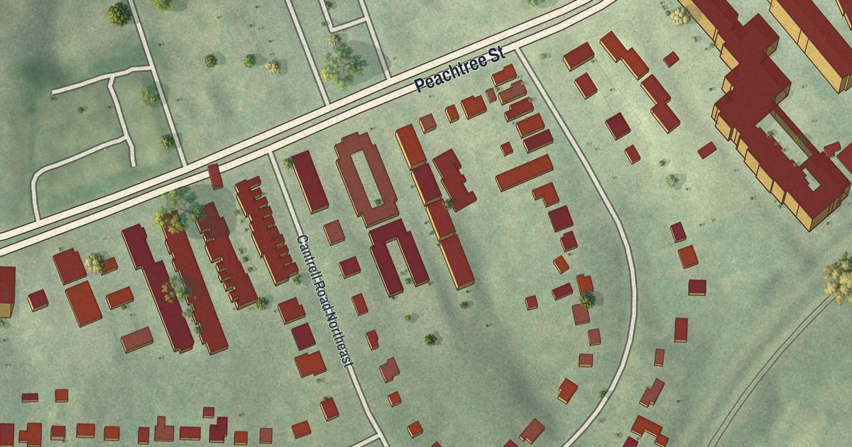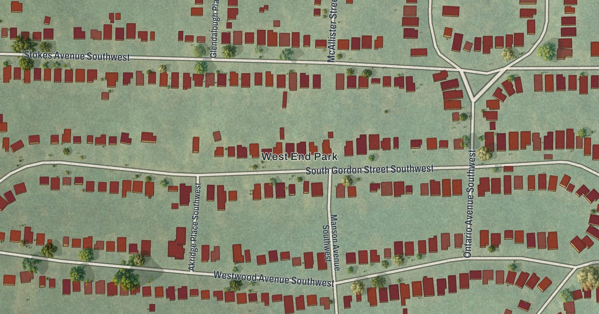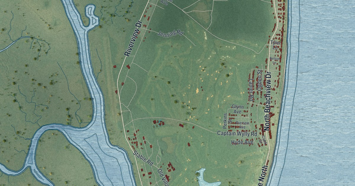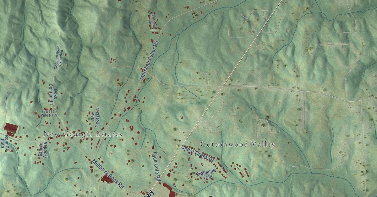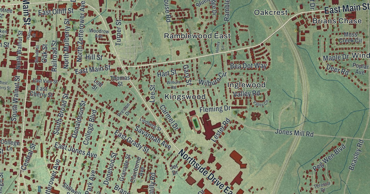
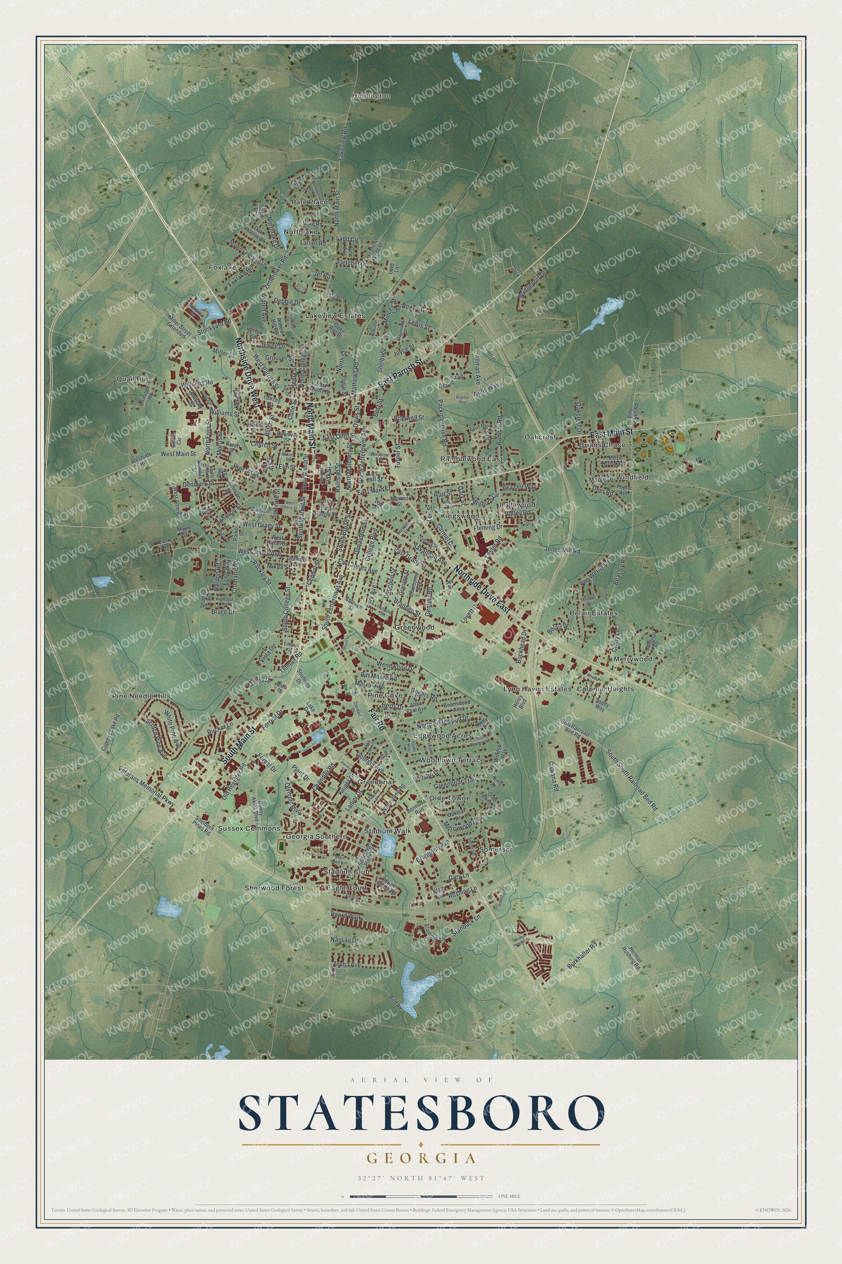
This beautifully detailed map of Statesboro, Georgia was created in 2026 using aerial imagery combined with modern topographical, census, street and landmark data. It’s a one-of-a-kind view of Statesboro that combines accurate data with a vintage aesthetic. The map shows every building in its true location, many of the roads carry their names, and the shaded topographic relief shows the shape of the land.
Explore an aerial view of Statesboro, Georgia
On the map you’ll find Huntington, Colonial Heights, Edgewood Acres, and Foxlake, along with Northside Drive, Parrish Street, Main Street, Fair Road, Grady Street, Eagle Court, and more. If you look closely you can even find your house accurately drawn in its correct location. Zoom in on the preview to look for yours.
Did You Know?
In 1801, George Sibbald of Augusta gave a 9301-acre tract for a central county seat in Bulloch County. State lawmakers formally founded Statesborough in December 1803. A permanent city charter in 1866 changed the spelling to Statesboro.
Take a closer look at the Statesboro map
Names on this map
These names are printed on this map.
Places: Huntington, Belair Estates, Brians Chase, Colonial Heights, Eagle Court, Edgewood Acres, Foxlake, Georgia Southern, Greenbriar, Greenwood, Inglewood, Kingswood, Lakeview Estates, Lynn Haven Estates, Merrywood, Northlake, Oakcrest, Olde Towne, Pate Place, Pine Cove, Pine Needle Hills, Quail Run, Ramblewood East, Sherwood Forest, Somerset, Stadium Club, Stadium Walk, Sussex Commons, Windfield and Woodlawn Terrace.
Streets and roads: Northside Drive West, East Parrish Street, North Main Street, East Main Street, Northside Drive East, Fair Road, South Main Street, West Parrish Street, East Grady Street, West Grady Street, Brannen Street, East Jones Avenue.
More street names, A to Z
Acorn Trail, Aiken Street, Aldred Avenue, Aldred Hill Road, Allman Avenue, Anthony Street, Aruba Avenue, Aspen Heights Drive, Azalea Drive, Azalia Drive, Bay Street, Bea Dot Way, Beasley Road, Belair Drive, Benson Drive, Bermuda Run, Best Street, Billy Mikell Road, Bird Lane, Bird Road, Bland Avenue, Blitch Street, Blue Ridge Drive, Board Walk, Brampton Avenue, Braswell Street, Braxton Boulevard, Briarwood Road, Bridgeport Drive, Bruce Drive, Buckhead Drive, Bulloch Street, Bunny Akins Boulevard, Burkhalter Road, Butler Street, Cade Avenue, Cardinal Drive, Carmel Drive, Carter Drive, Cawana Road, Central Street, Chandler Road, Church Street, Cindy Lane, Clairborne Avenue, College Boulevard, College Lane, Cone Street, Copper Beach Road, Cotton Avenue, Cromartie Drive, Cypress Lake Road, Davis Street, Debbie Drive, Deer Road, Denmark Street, Donaldson Street, Donehoo Street, Dorman Drive, Duke Road, East Avenue, East Cherry Street, East Moore Street, East Olliff Street, East Vine Street, Echo Way, Ed Moore Court, Edwina Drive, Elm Street, Fleming Drive, Fletcher Drive, Forest Drive, Forest Way, Forrest Drive, Foxlake Road, Francis Scott Drive, Garfield Street, Gary Lane, Gary Street, Gentilly Road, Georgia Avenue, Granade Street, Greenbriar Trail, Green Street, Greenwood Avenue, Groover Street, Grove Circle, Harden Road, Harris Street, Hart Lane, Hart Street, Harvey Street, Hendrix Street, Henry Boulevard, Henry Street, Herman Rushing Road, Herty Drive, Highland Road, Hill Street, Holly Drive, Honey Lane, Institute Street, James Street, Jef Road, Jet Drive, Jewell Drive, Jodi Place, John Paul Avenue, Johnson Lane, Johnson Street, Jones Mill Road, Joyce Street, Kent Street, King Drive, Knight Drive, Ladd Circle, Laircey Street, Lake Drive, Lakeland Drive, Lakeview Road, Lanier Drive, Lanier Road, Laurel Lane, Lee Street, Lester Road, Lewis Street, Lindberg Street, Lott Street, Love Lane, Lovett Drive, Lynda Drive, Lynn Avenue, Maple Drive, Maple Street, Marvin Avenue, Mathews Road, McKinnon Street, Merrywood Drive, Mike Ann Drive, Mikell Street, Miller Street, Miller Street Extended, Mincey Street, Morris Street, Moss Creek Circle, Myrtle Crossing Lane, Nassau Drive, Nelson Street, North College Street, North Edgewood Drive, North Foss Street, Northlake Drive, North Mulberry Street, North Street, North Walnut Street, North Zetterower Avenue, Oakcrest Drive, Oak Hollow Drive, Oakleaf Drive, Oak Street, Olde Towne Drive, Old Register Road, Olympic Boulevard, Outland Street, Packinghouse Road, Park Avenue, Parker Street, Peg Wen Boulevard, Pine Cone Court, Pine Drive, Pine Street, Pinewood Drive, Pitt Moore Road, Plant Drive, Poplar Avenue, Poplar Street, Preston Drive, Proctor Street, Quail Run Drive, Rackley Street, Railroad Street, Ramble Road, Raymond Street, Reed Street, Robin Hood Trail, Rogers Road, Rountree Street, Rucker Lane, Rushing Lane, S&S Railroad Bed Road, Sandy Way, Savannah Avenue, Scotch Pine Avenue, Shady Trail, Shelby Street, Siebald Street, Slash Drive, South Broad Street, South College Street, South Edgewood Drive, Southern Drive, Southern Pines Road, South Foss Street, South South Railroad Bed Road, South Walnut Street, South Zetterower Avenue, Stambuk Lane, Stanbuck Lane, Statesboro Place Circle, Stillwell Street, Stockyard Road, Sunview Drive, Teressa Drive, Terrell Drive, Terry Lane, Thomas Street, Tillman Road, Tillman Street, Timber Road, Turner Street, University Place, Valley Circle, Valley Road, Veterans Memorial Parkway, Vista Circle, Wendwood Drive, West Altman Street, West Cherry Street, West Inman Street, West Jones Avenue, Westlake Drive, West Main Street, Westside Road, White Pine Avenue, Whitestone Road, Wilburn Circle, Wilburn Road, Williams Road, Williams Street, Willis Way, Windsor Way, Woodrow Avenue, Zetterower Road.
See it on a wall
The Statesboro map as a framed print. Swipe for more.


This beautifully detailed map of Statesboro makes an attractive addition to your office, library, or den, and it can even be used to teach children the geography and history of the area. It also makes a great gift for anyone who grew up in Statesboro or moved away. When you’re done exploring, click here to get your copy of the Statesboro map.