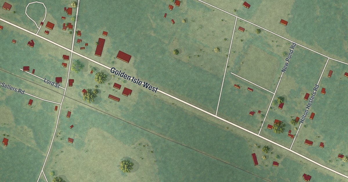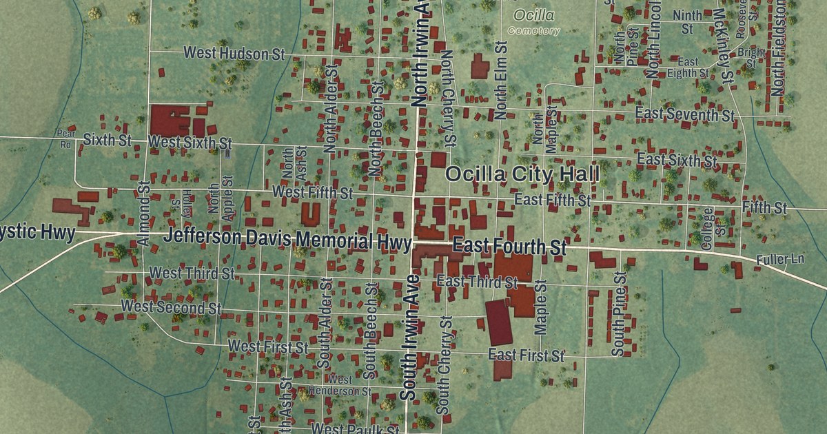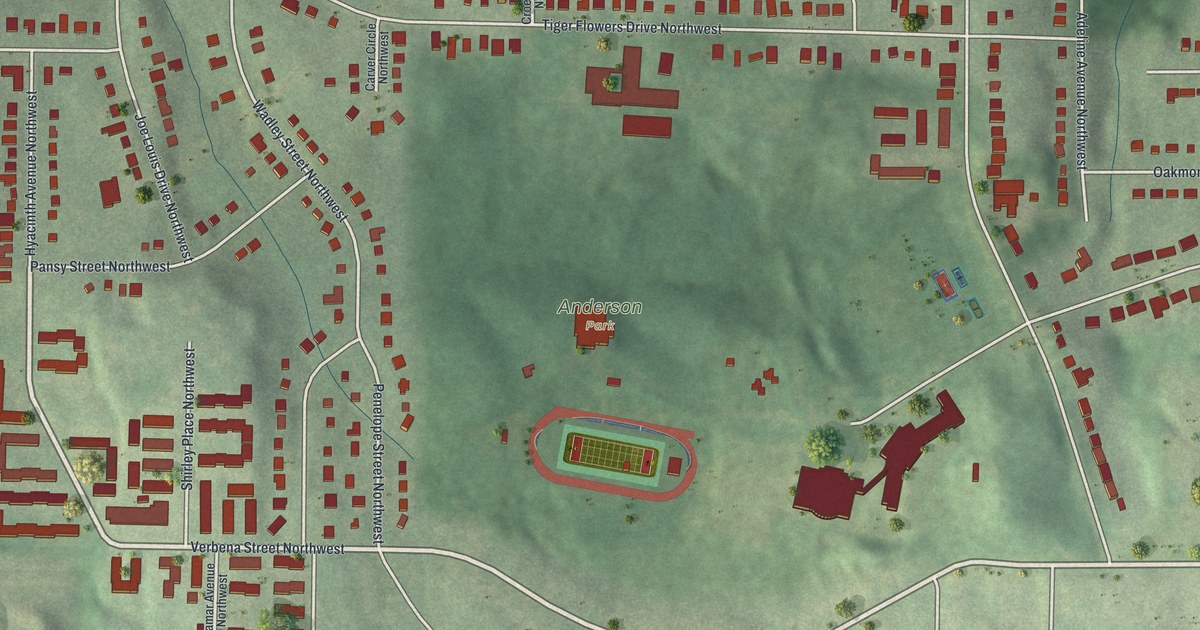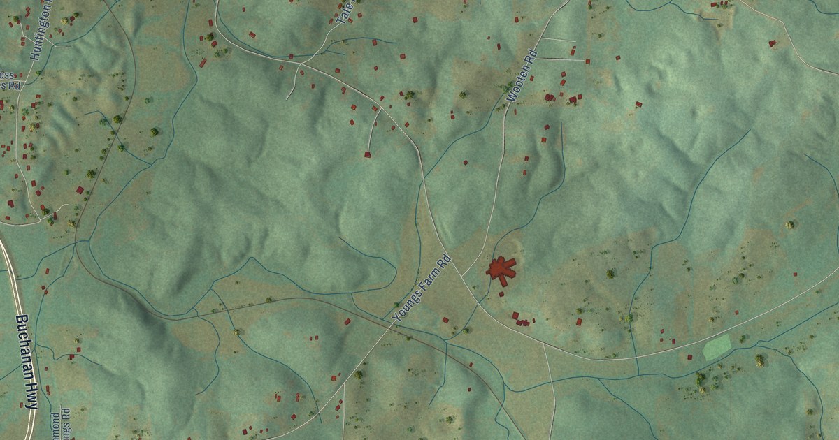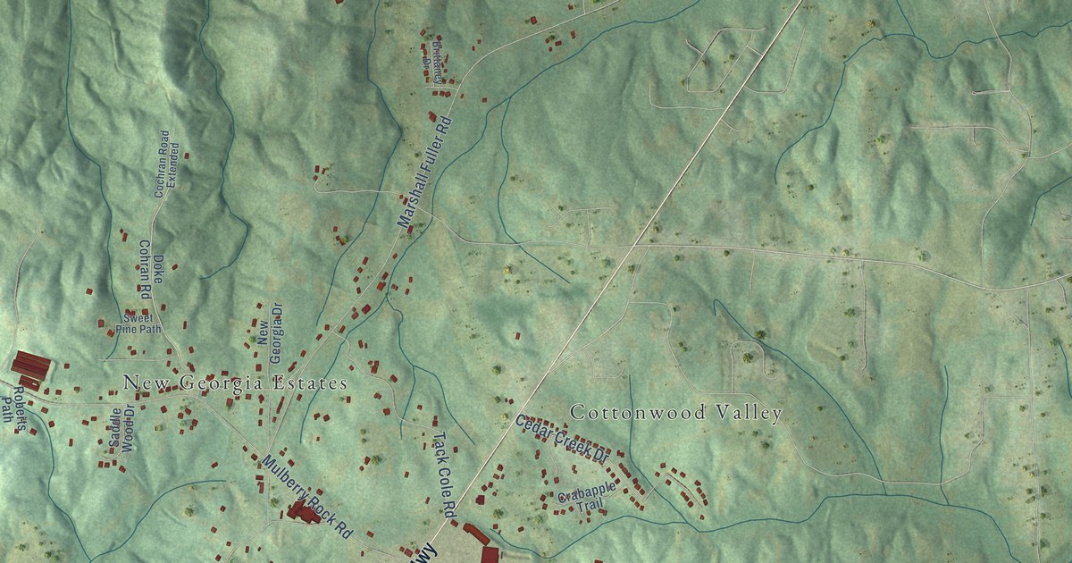
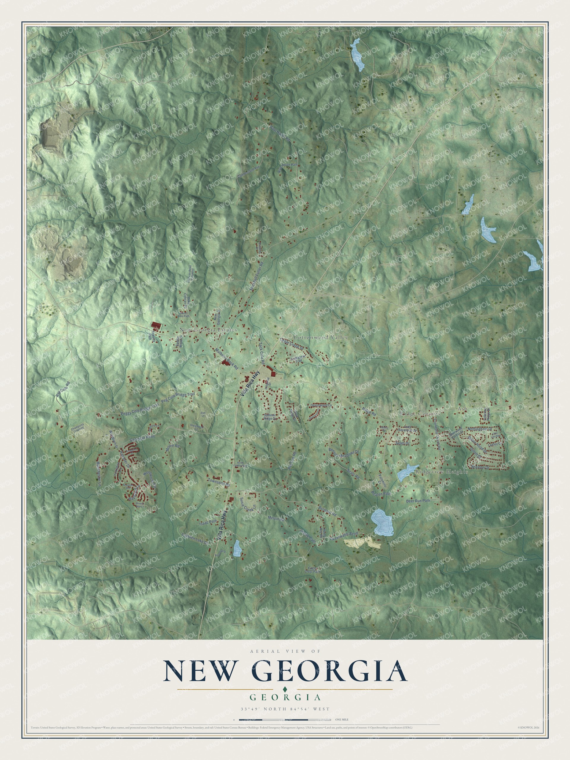
This beautifully detailed map of New Georgia, Georgia was created in 2026 using aerial imagery combined with modern topographical, census, street and landmark data. It’s a one-of-a-kind view of New Georgia that combines accurate data with a vintage aesthetic. The map shows every building in its true location, many of the roads carry their names, and the shaded topographic relief shows the shape of the land.
Explore an aerial view of New Georgia, Georgia
On the map you’ll find Ridge Corners, New Georgia Estates, Cottonwood Valley, Ridgeview Heights, and Ash, along with Villa Rica Highway, Georgian Parkway, Seals Road, Belmont Road, Ridge Road, Paul Harris Road, Ray Lee Road, and more. If you look closely you can even find your house accurately drawn in its correct location. Zoom in on the preview to look for yours.
Take a closer look at the New Georgia map
Names on this map
These names are printed on this map.
Places: Ridge Corners, New Georgia Estates, Cottonwood Valley, Ridgeview Heights and Ash.
Streets and roads: Villa Rica Highway, Georgian Parkway, Seals Road, Belmont Road, Ridge Road, Paul Harris Road, Ray Lee Road, Townsend Road, Sweetwater Bend, Marshall Fuller Road, Mulberry Rock Road, Peggy Cole Bridge Trail.
More street names, A to Z
Astin Farms Path, Baywood Lane, Beaten Path, Benson Meadows Drive, Blue Heron Path, Braxton Drive, Brittaney Drive, Camden Lake Drive, Cedar Creek Drive, Champions Crossing, Cochran Road Extended, Crabapple Trail, Cumberland Avenue, Deer Run Path, Denny Circle, Devynwood Court, Devynwood Lane, Dillon Drive, Doke Cohran Road, Eagle Crest Path, Elm Lane, Friendship Church Road, Fullerton Ridge Drive, Glen Ridge Drive, Greatwood Lane, Hanover Drive, Henry Ray Road, Isaac Path, Jessie Path, Lady Savannah Drive, Little John Way, Loxley Court, Manchester Lane, Melvin Road, Moore Road, New Georgia Drive, Nottingham Drive, Palomino Drive, Peg Cole Bridge Trail, Ray Cole Road, Ridgeway Drive, Roberts Path, Robin Hood Drive, Saddle Wood Drive, Seals Drive, Sherwood Forest Drive, Snowdon Way, Stafford Lane, Summer Ridge Drive, Susie Creek Lane, Sweet Pine Path, Tack Cole Road, Templeton Lane, Wateredge Drive, Wentworth Circle, Windsor View Lane, Woodburn Drive, Yorkshire Lane.
See it on a wall
The New Georgia map as a framed print. Swipe for more.


This beautifully detailed map of New Georgia makes an attractive addition to your office, library, or den, and it can even be used to teach children the geography and history of the area. It also makes a great gift for someone who left New Georgia and still calls it home. When you’re done exploring, click here to get your copy of the New Georgia map.