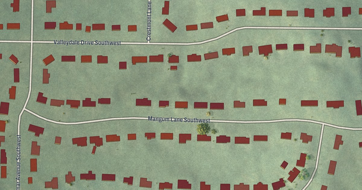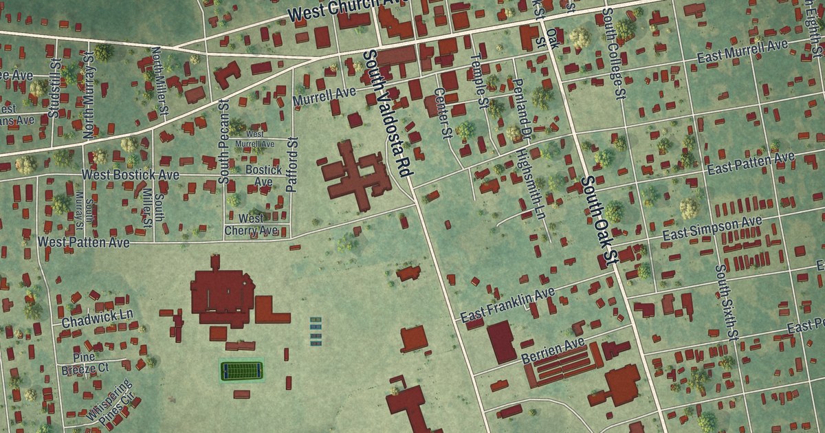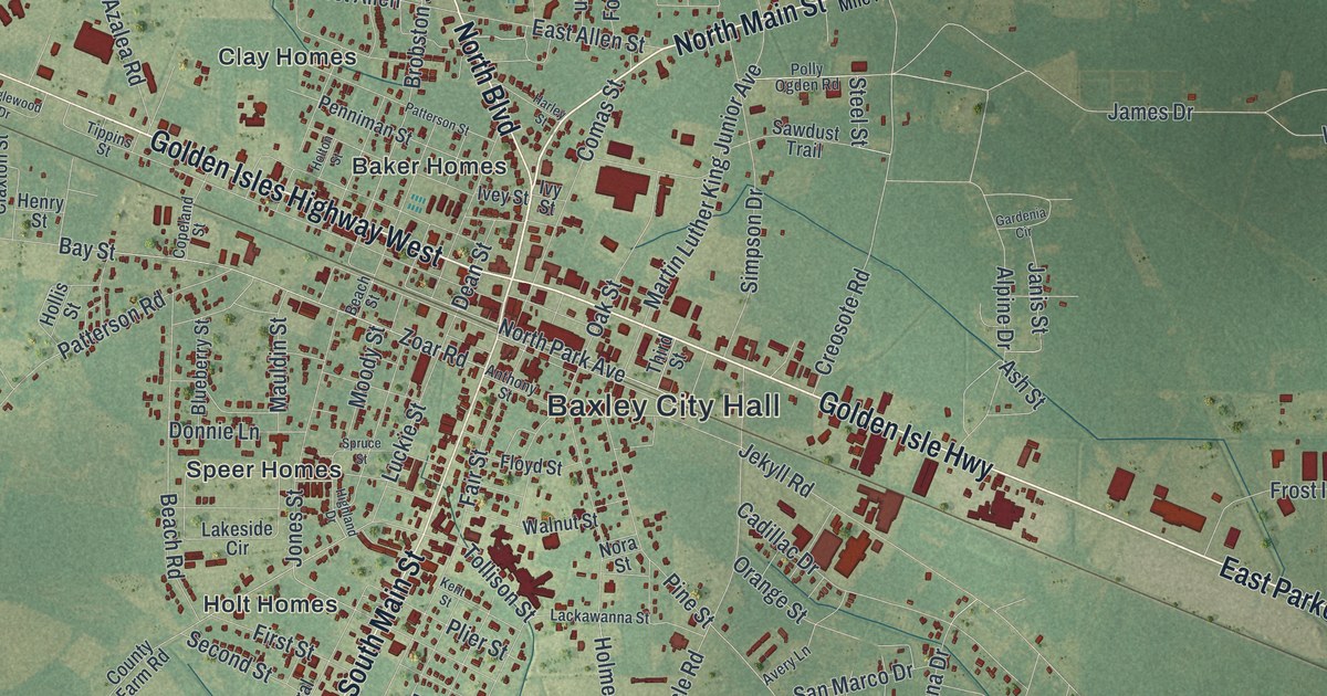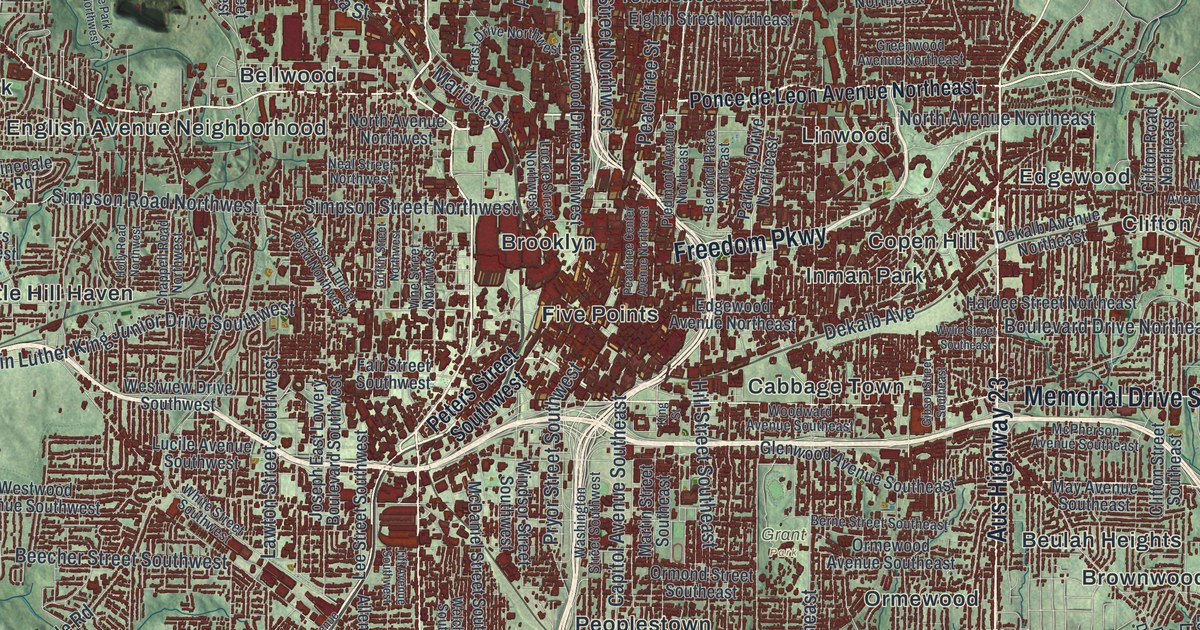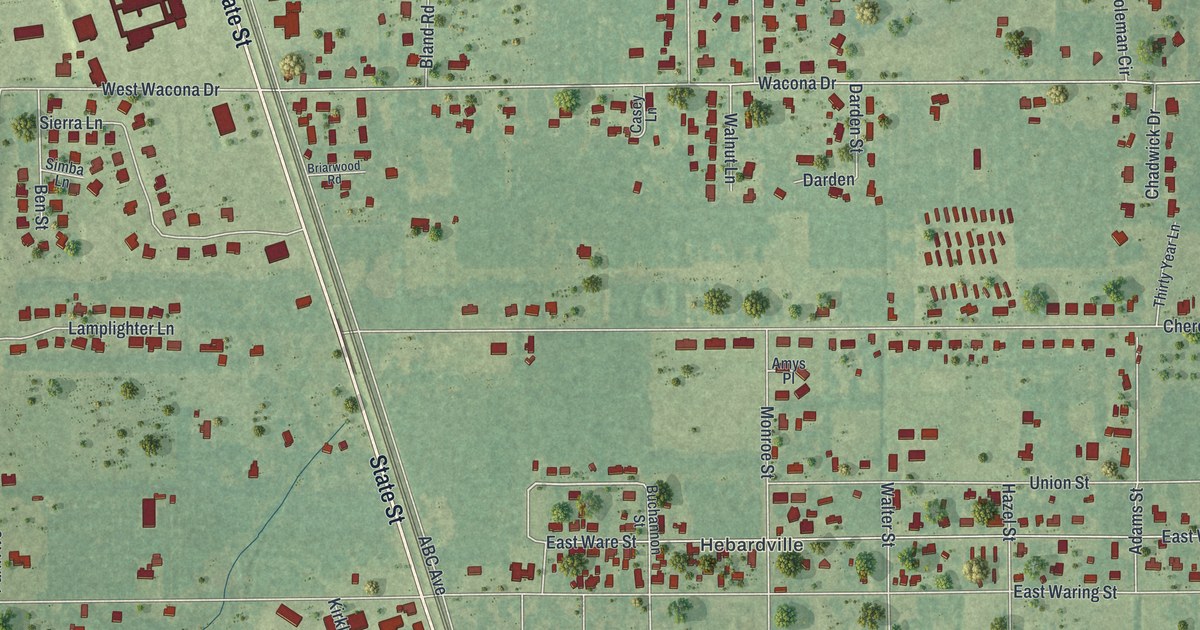
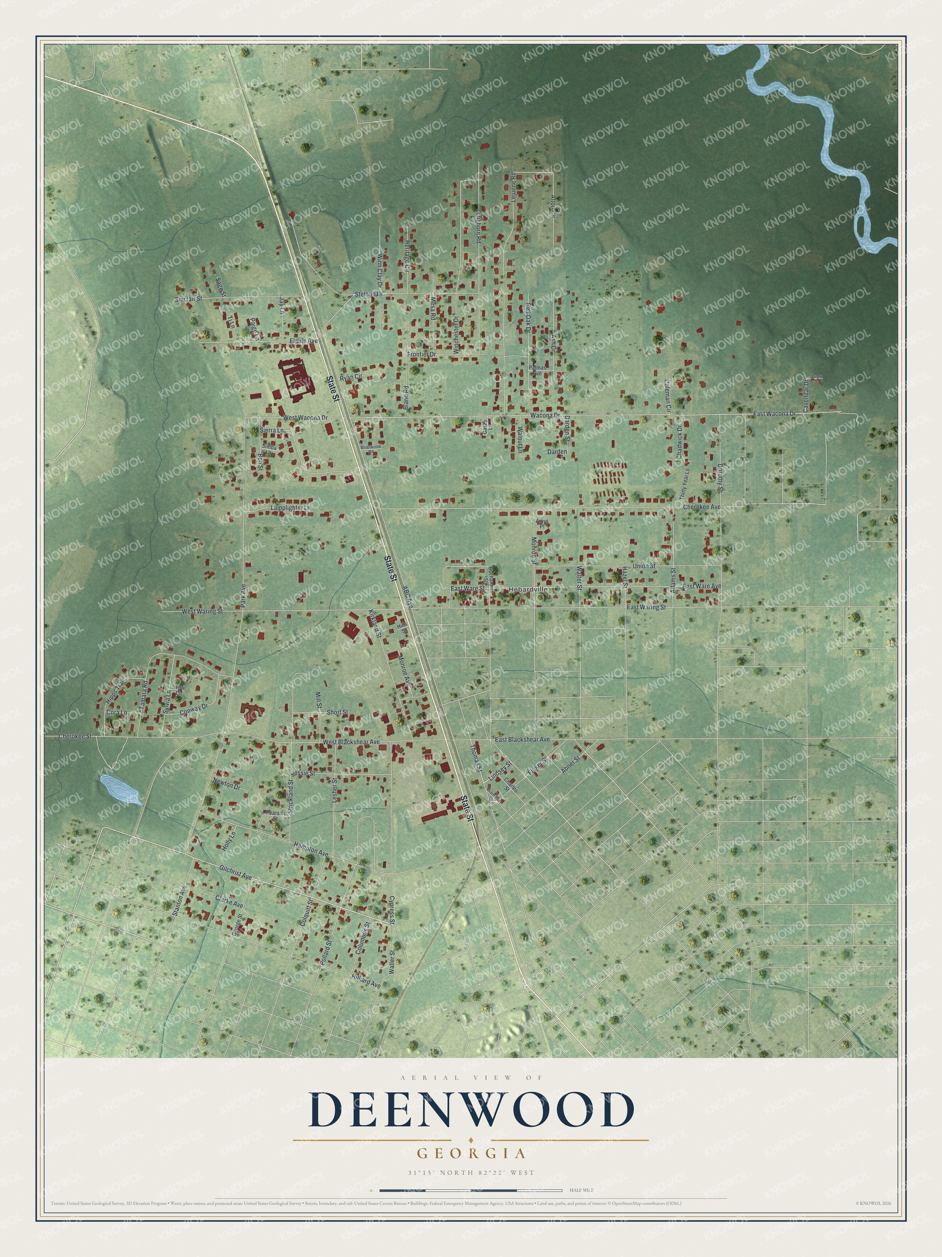
This beautifully detailed map of Deenwood, Georgia was created in 2026 using aerial imagery combined with modern topographical, census, street and landmark data. It's a modern aerial view of Deenwood in Ware County, Georgia, that combines modern data with a vintage aesthetic. The roads feature printed names, and if you look closely you can find your exact house accurately shown in its correct location.
Explore an aerial view of Deenwood, Georgia
On this map you'll find Hebardville, State Street, Gilchrist Avenue, Lindsey Street, Fluker Street, Thomas Street, Union Street, Stetson Drive, Walter Street, East Wacona Drive, Wacona Drive, Park Avenue, and more. Each red shape is a building, so zoom in on the preview and look for yours.
Deenwood is a community in Ware County. The Census Bureau counted 2,207 people here in 2020. Deenwood sits about 2 miles west of Sunnyside, 3 miles north of Waycross and 6 miles east of Waresboro. The map prints the town name in its title panel, with the coordinates below it.
Take a closer look at the Deenwood map
Names on this map
These names are printed on this map.
Places: Hebardville.
Streets and roads: State Street, Gilchrist Avenue, Lindsey Street, Fluker Street, Thomas Street, Union Street, Stetson Drive, Walter Street, East Wacona Drive, Wacona Drive, Park Avenue, ABC Avenue.
More street names, A to Z
Abner Street, Adams Street, Alton Circle, Amys Place, Ash Drive, Ben Street, Bland Road, Briarwood Road, Buchannon Street, Bunny Lane, Casey Lane, Cavendar Drive, Chadwick Drive, Charles Street, Cherokee Avenue, Cherokee Street, Clarke Avenue, Coleman Circle, Colquitt Street, Columbus Street, Conway Drive, Cora Lane, Cypress Street, Darden, Darden Street, Dorothy Street, East Blackshear Avenue, East Ware Avenue, East Ware Street, East Waring Street, Elaine Avenue, Frontier Drive, George Street, Hampton Avenue, Hazel Street, Heritage Circle, Hilliard Avenue, Hills Street, Hipps Trail, Holly Lane, Jay Lane, Jessie Street, Kirkland Street, Lamplighter Lane, Lejuene Road, Lesher Street, Longhorn Road, Mesa Road, Mill Street, Monroe Avenue, Monroe Street, Newton Drive, Paige Lane, Palmas Avenue, Pearson Street, Pollard Street, Quarterman Street, Red Oak Drive, Ryan Circle, Sage Street, Short Street, Sierra Lane, Simba Lane, Sinclair Street, Stanton Avenue, Strickland Street, Sylvia Lane, Tamara Road, Thirty Year Lane, Tj Lane, Tori Circle, Waller Street, Walnut Lane, West Blackshear Avenue, West Wacona Drive, West Waring Street, Winchester Drive, Winn Clay Drive.
See it on a wall
The Deenwood map as a framed print. Swipe for more.


Created by KNOWOL in 2026. The buildings are small red shapes, the roads carry their printed names, and shaded relief shows the shape of the land. The title panel reads "AERIAL VIEW OF DEENWOOD, GEORGIA" with 31°15' NORTH 82°22' WEST.
It suits a den, a classroom or a front hall, and it makes a gift for anyone with Deenwood roots. Open the preview and find the block you know. See sizes and frames for the Deenwood map.