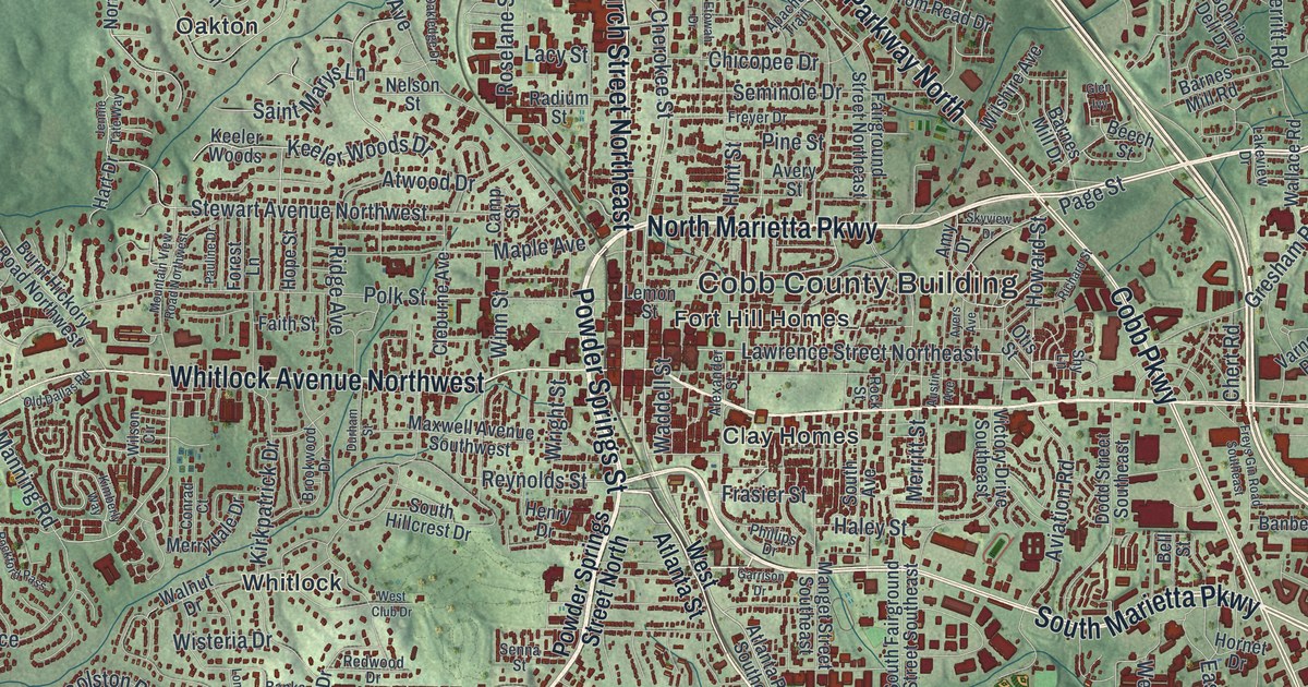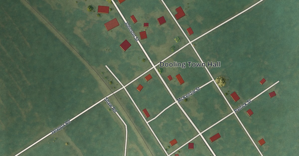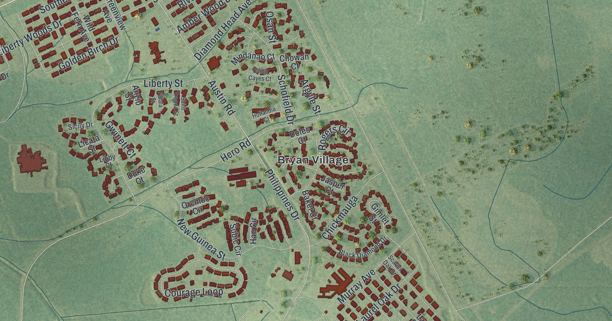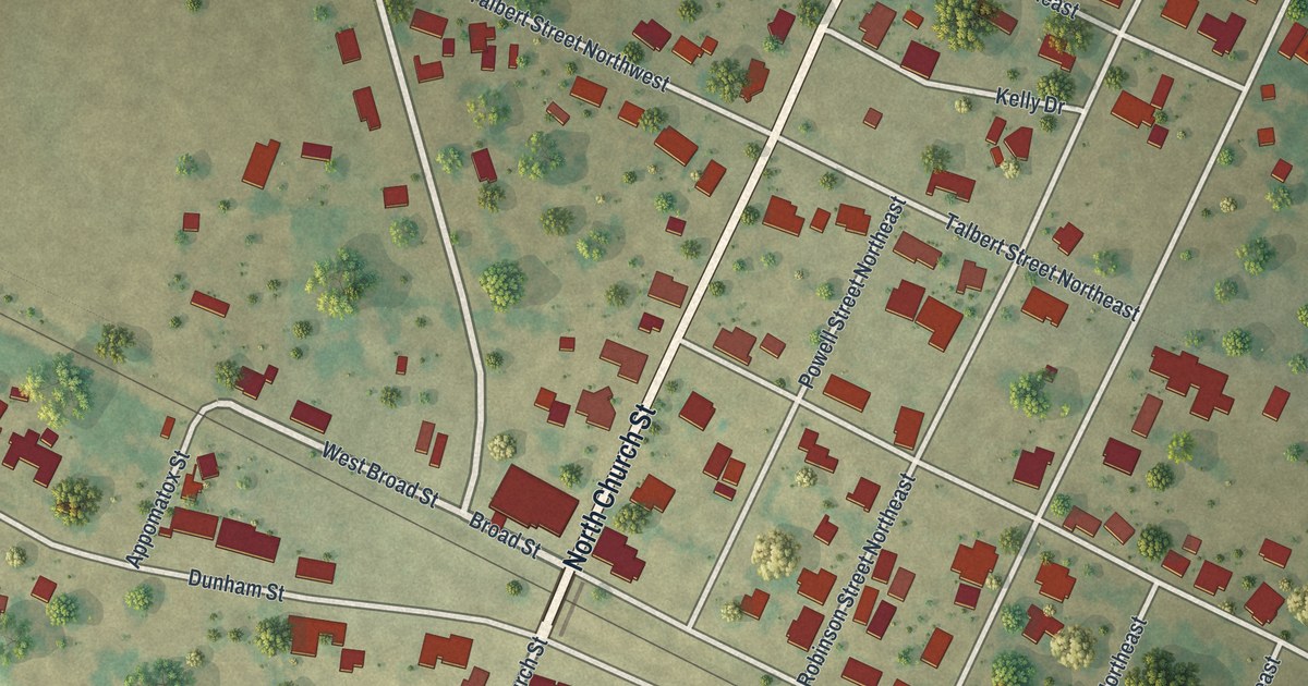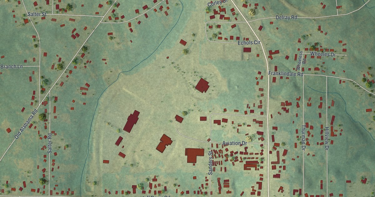
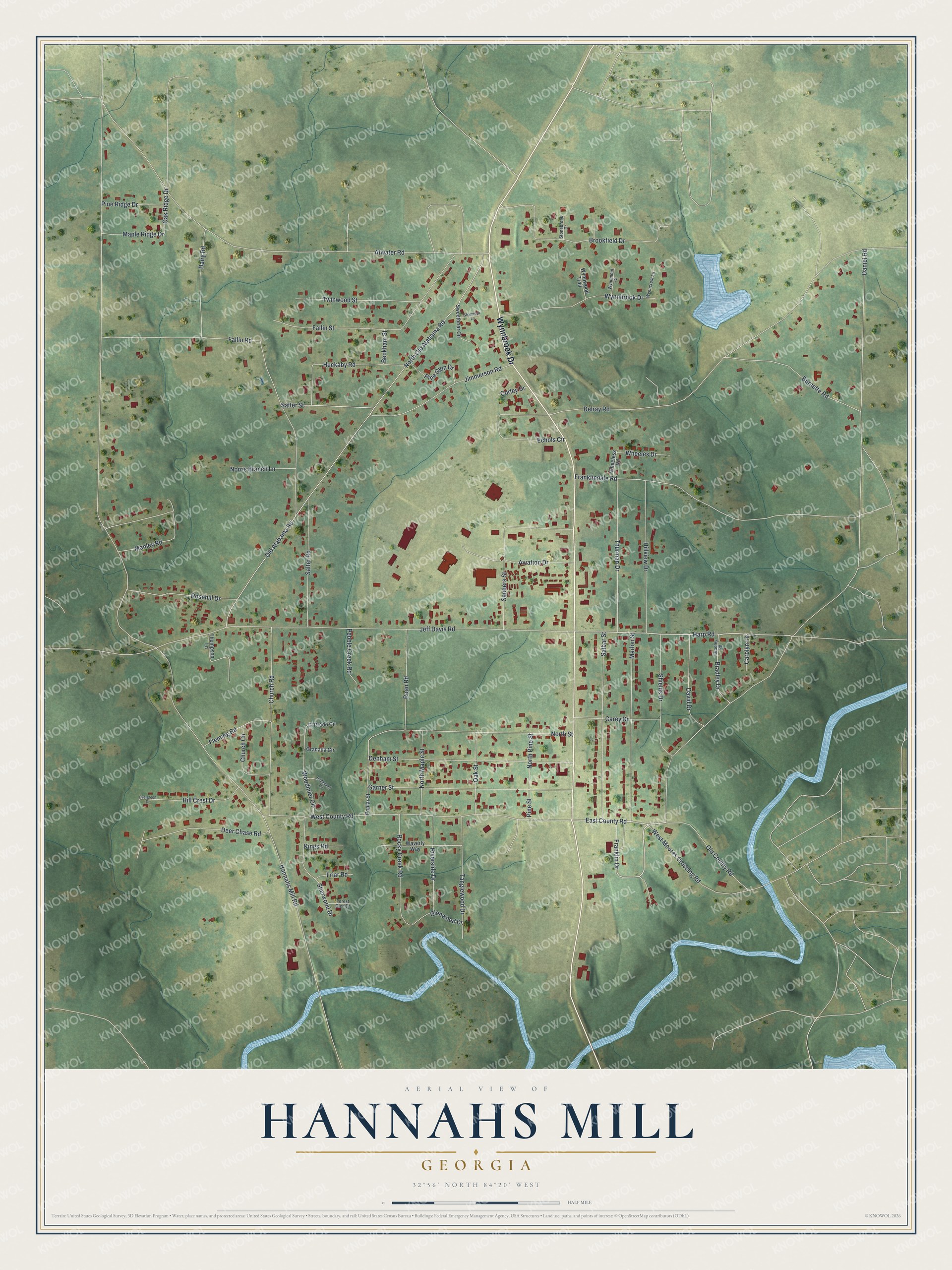
This beautifully detailed map of Hannahs Mill, Georgia was created in 2026 using aerial imagery combined with modern topographical, census, street and landmark data. It's a modern aerial view of Hannahs Mill in Upson County, Georgia, that combines modern data with a vintage aesthetic. The roads feature printed names, and if you look closely you can find your exact house accurately shown in its correct location.
Explore an aerial view of Hannahs Mill, Georgia
On this map you'll find Wynnbrook Drive, Franklin Drive, East County Road, Harp Road, Hannahs Mill Road, Daniel Road, North Old Alabama Road, Old Alabama Road, Atwater Road, Jeff Davis Road, Delray Road, Fallin Road, and more. Each red shape is a building, so zoom in on the preview and look for yours.
Hannahs Mill is a community in Upson County. The Census Bureau counted 3,121 people here in 2020. Hannahs Mill sits about 3 miles north of Thomaston, 5 miles north of Lincoln Park and 5 miles northeast of Sunset Village. The map prints the town name in its title panel, with the coordinates below it.
Take a closer look at the Hannahs Mill map
Names on this map
These names are printed on this map.
Streets and roads: Wynnbrook Drive, Franklin Drive, East County Road, Harp Road, Hannahs Mill Road, Daniel Road, North Old Alabama Road, Old Alabama Road, Atwater Road, Jeff Davis Road, Delray Road, Fallin Road.
More street names, A to Z
Aviation Drive, Beckham Street, Bradley Drive, Bradley Road, Bridgeport Circle, Brookfield Drive, Burnette Road, Carey Drive, Carolyn Lane, Church Circle, Church Road, Corley Drive, Dairy Road, David Drive, Deer Chase Road, Denham Street, Echols Circle, El Prado Circle, Evergreen Drive, Fallin Street, Fleming Road, Forest Glen Drive, Franklindale Road, Friar Road, Garner Street, Glenwood Drive, Granada Circle, Hill Crest Drive, Hillview Drive, Huckaby Road, Jimmerson Road, Kings Road, Manley Road, Maple Ridge Drive, Marlon Street, Norris Branch Lane, North Maple Street, North Pine Street, North Street, Oak Ridge Drive, Oak Street, Old County Road, Pebble Creek Road, Pine Glen Drive, Pine Ridge Drive, Pine Street, Poplar Street, Riverside Drive, Roan Road, Rocky Creek Road, Rosehill Drive, Salbar Street, Salter Road, Salter Street, Sanders Street, Shamrock Lane, Sherwood Drive, Shields Drive, Stonebrook Drive, Sweetbriar Circle, Tanglewood Drive, Thompson Lane, Thurman Drive, Twinwood Street, Waverly Way, West County Road, West Moores Crossing Road, Wheeles Drive, Wheeless Road, Woodmier Circle, Wynncrest Lane, Wynnmont Court, Wynnwood Trail.
See it on a wall
The Hannahs Mill map as a framed print. Swipe for more.


Created by KNOWOL in 2026. The buildings are small red shapes, the roads carry their printed names, and shaded relief shows the shape of the land. The title panel reads "AERIAL VIEW OF HANNAHS MILL, GEORGIA" with 32°56' NORTH 84°20' WEST.
It suits a den, a classroom or a front hall, and it makes a gift for anyone with Hannahs Mill roots. Open the preview and find the block you know. See sizes and frames for the Hannahs Mill map.