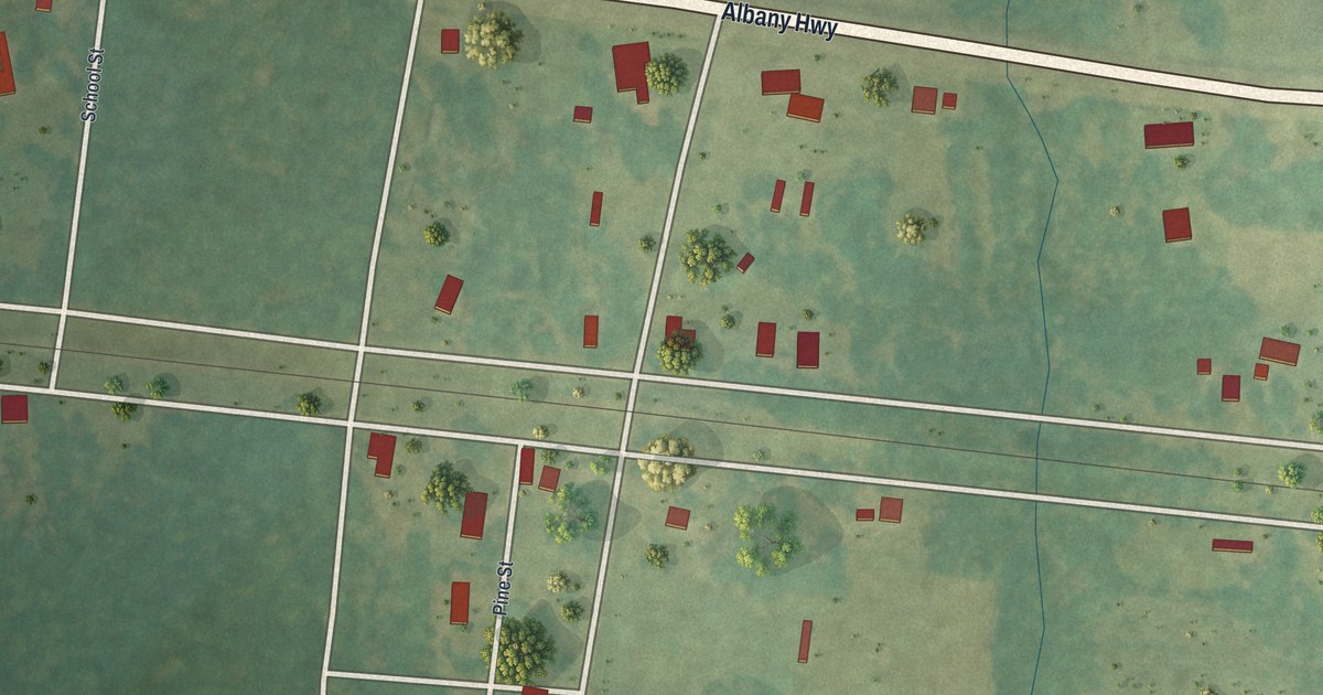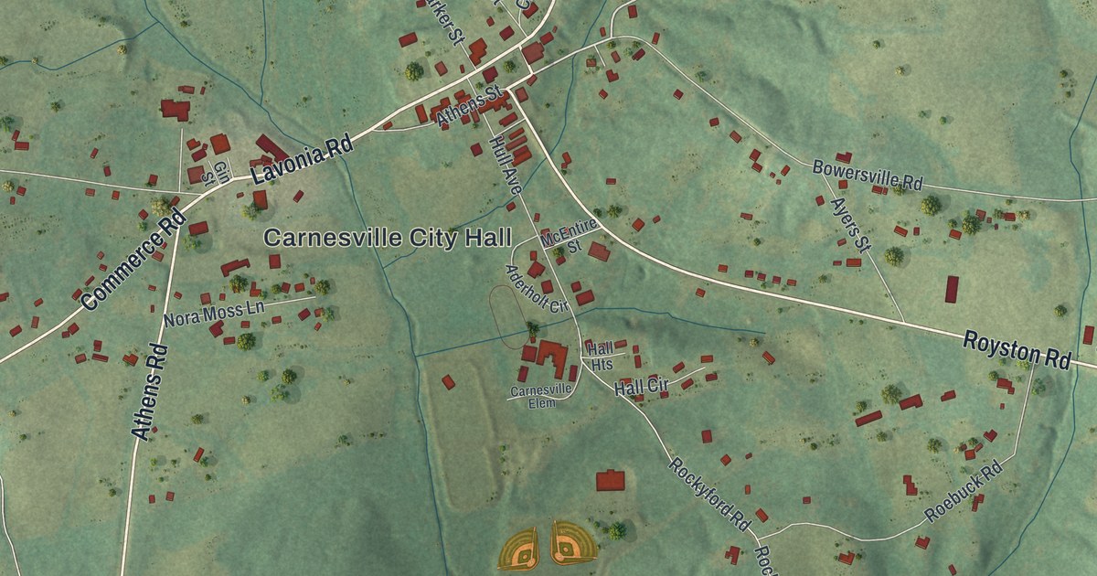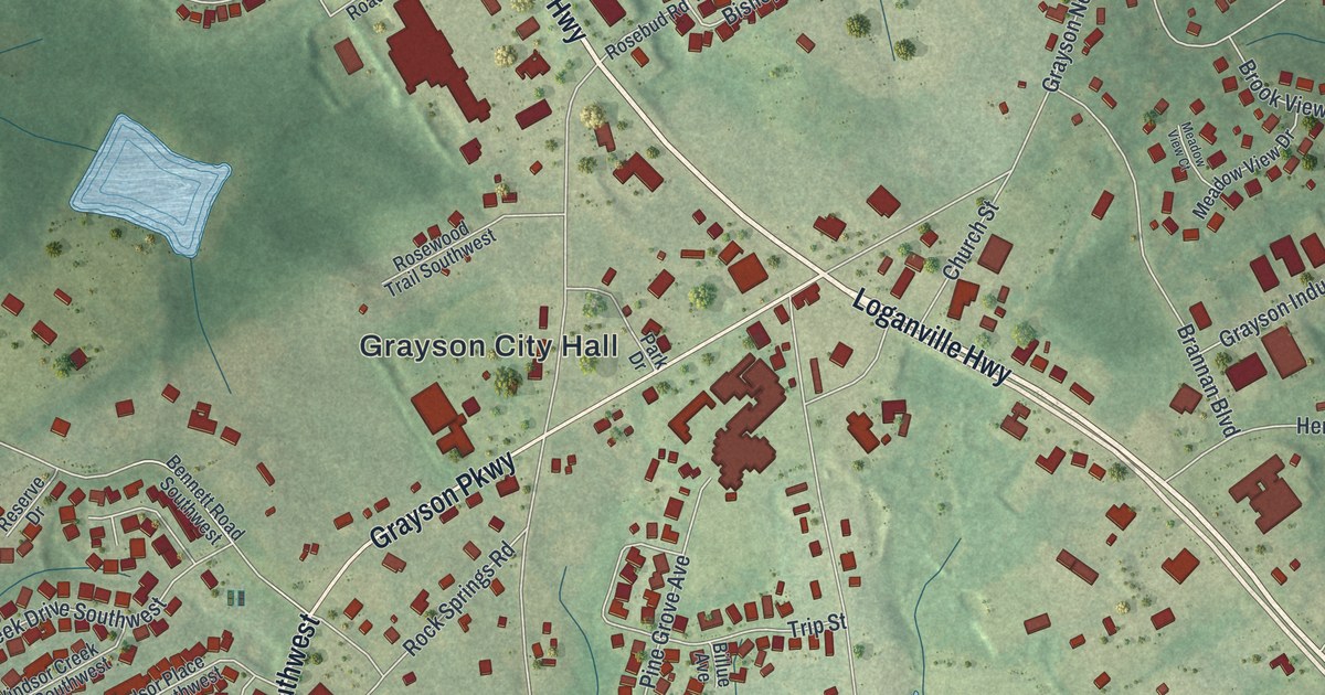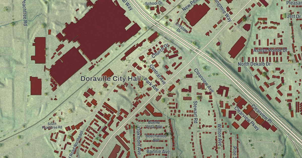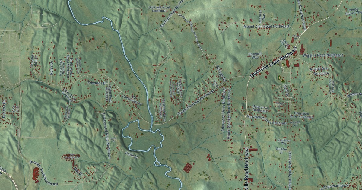
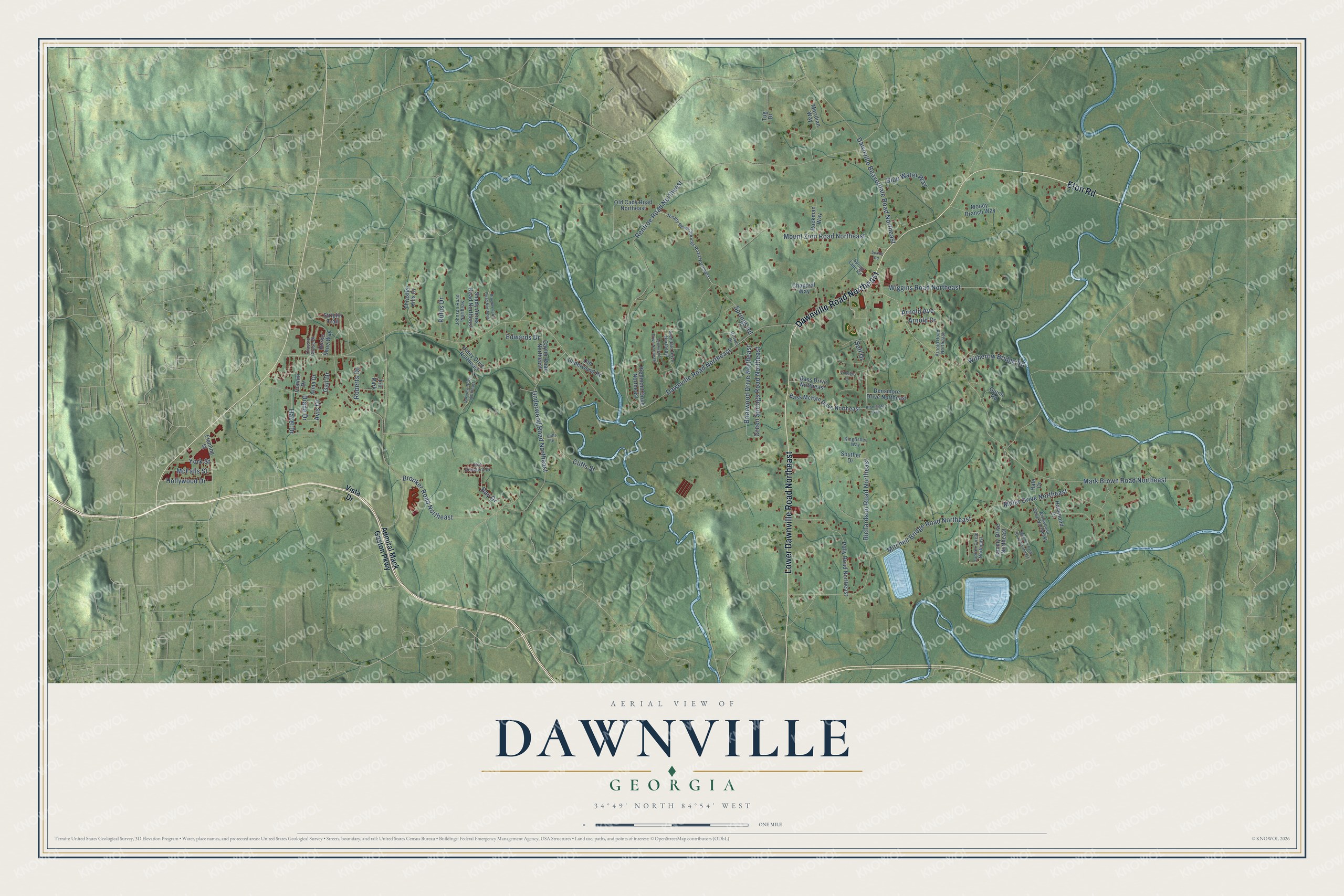
This beautifully detailed map of Dawnville, Georgia was created in 2026 using aerial imagery combined with modern topographical, census, street and landmark data. It’s a one-of-a-kind view of Dawnville that combines accurate data with a vintage aesthetic. The map shows every building in its true location, many of the roads carry their names, and the shaded topographic relief shows the shape of the land.
Explore an aerial view of Dawnville, Georgia
On the map you’ll find Dawnville Road Northeast, Lower Dawnville Road Northeast, Eton Road, Avis Drive, Mitchell Bridge Road Northeast, Renfroe Road Northeast, Richardson Road Northeast, Brooker Road Northeast, Miller Drive Northeast, Underwood Road Northeast, Mark Brown Road Northeast, Springs Road, and more. If you look closely you can even find your house accurately drawn in its correct location. Zoom in on the preview to look for yours.
Take a closer look at the Dawnville map
Names on this map
These names are printed on this map.
Places: Trlr Park.
Streets and roads: Dawnville Road Northeast, Lower Dawnville Road Northeast, Eton Road, Avis Drive, Mitchell Bridge Road Northeast, Renfroe Road Northeast, Richardson Road Northeast, Brooker Road Northeast, Miller Drive Northeast, Underwood Road Northeast, Mark Brown Road Northeast, Springs Road.
More street names, A to Z
Admiral Mack Gaston Parkway, Alma Drive, Arnold Avenue, Arnold Drive, Arnold Road Northeast, Arrowhead Drive Northeast, Bass Drive Northeast, Bass McHan Drive Northeast, Bay Drive, Blanchard Way, Blue Water Way, Briarwood Drive Northeast, Brooker Farm Road Northeast, Caylor Road Northeast, Chappell Way, Classic Chase Drive, Cliffs Drive, Cliffs Street, Connie Drive, Dawnville Beaverdale Road Northeast, Densmore Drive Northeast, Diane Drive, Dot Crescent Drive, Edwards Drive, Fleming Street, Gail Drive, Glendale Drive Northeast, Green Springs Road Northeast, Groves Drive, Guinn Road, Hale Drive, Haley Drive Northeast, Hammond Drive, Hazel Drive, Hollywood Drive, Horse Shoe Way, Johnson Road Northeast, Jupiter Circle Northeast, Kingfisher Way, Lynnwood Drive Northeast, McFalls Street, Meridian Way, Mitchell Farm Road Northeast, Moody Branch Way, Mount Zion Road Northeast, Ninety Seven Springs Road Northeast, Oakview Drive Northeast, Old Cady Road Northeast, Old Underwood Road, Piedmont Drive Northeast, Polly Road Northeast, Roberts Drive, Rockman Way, Rufus Drive, Self Drive, Shady Acres Road Northeast, Souther Drive, Spring Lane Road, Spring Road, Striplin Trail, Tammy Drive Northeast, Thrasher Hills Drive, Tug Drive, Vintage Lane, Vista Drive, Wiggins Road Northeast, Witherow Bridge Road, York Street.
See it on a wall
The Dawnville map as a framed print. Swipe for more.


This beautifully detailed map of Dawnville makes an attractive addition to your office, library, or den, and it can even be used to teach children the geography and history of the area. It also makes a great gift for anyone with Dawnville roots. When you’re done exploring, click here to get your copy of the Dawnville map.