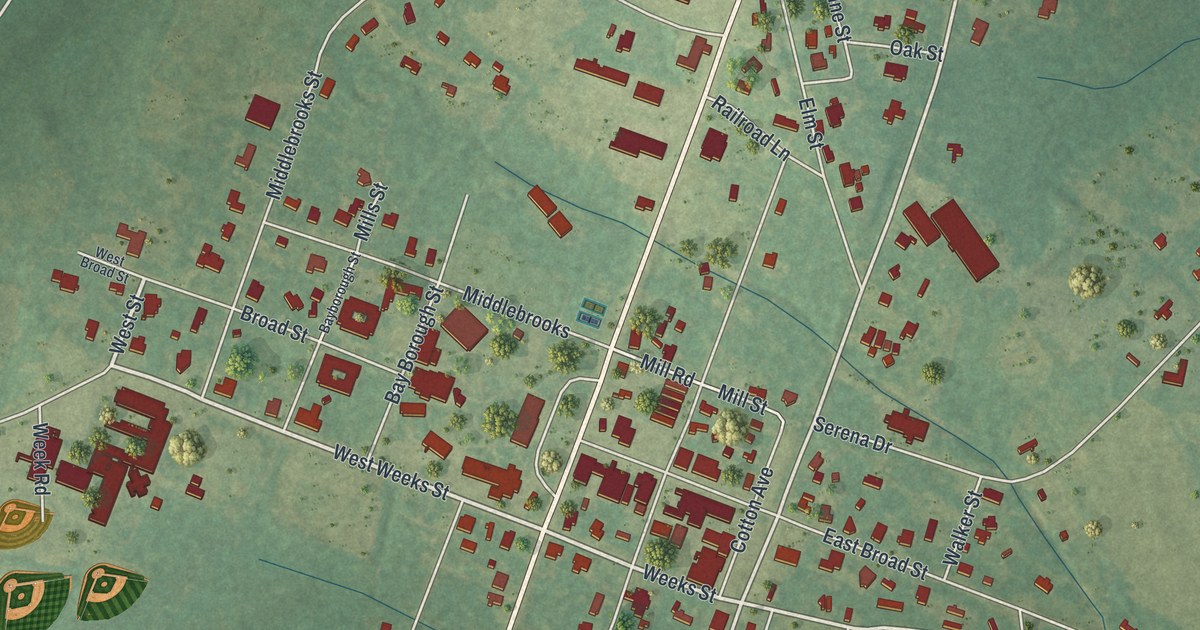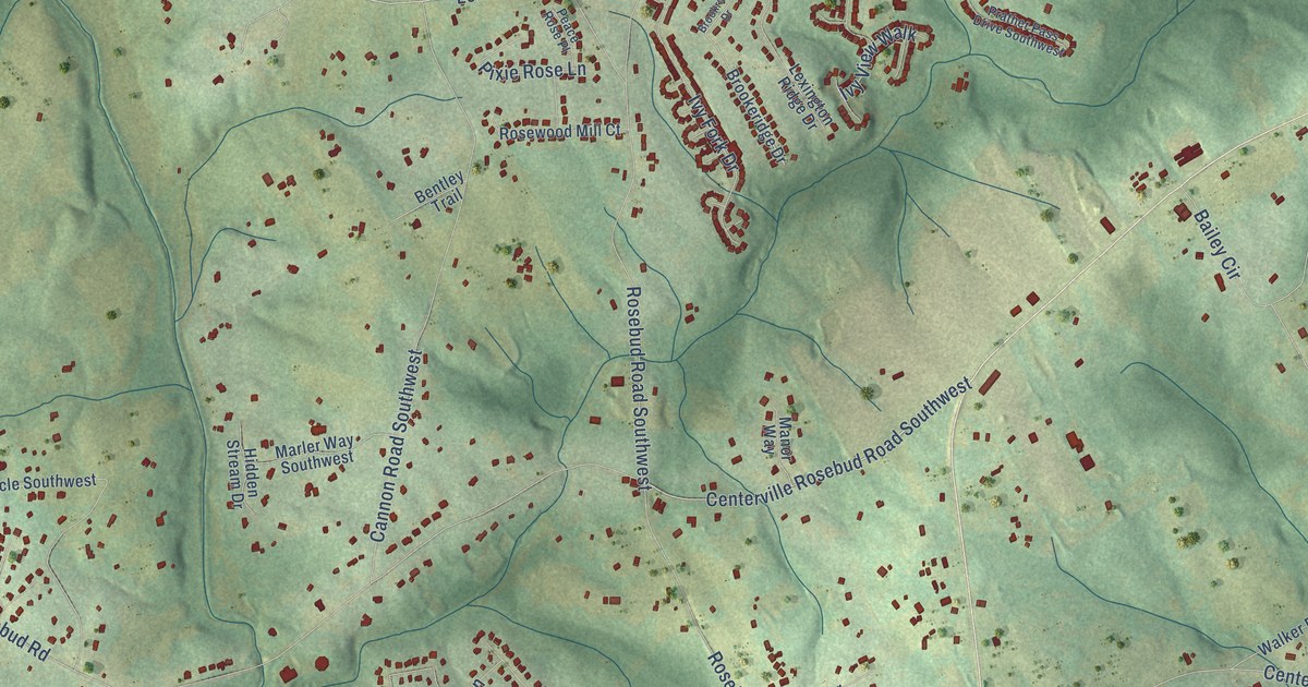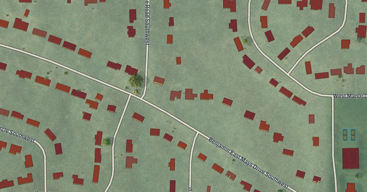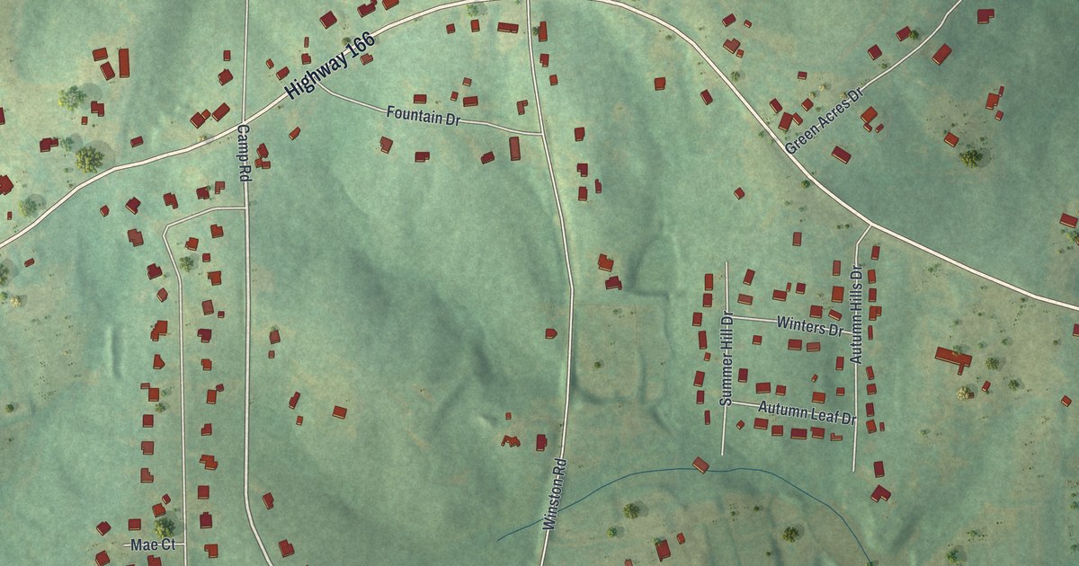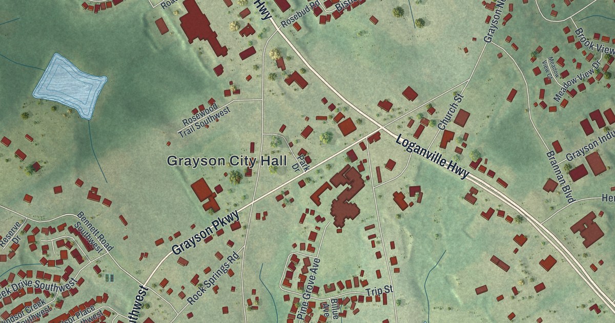
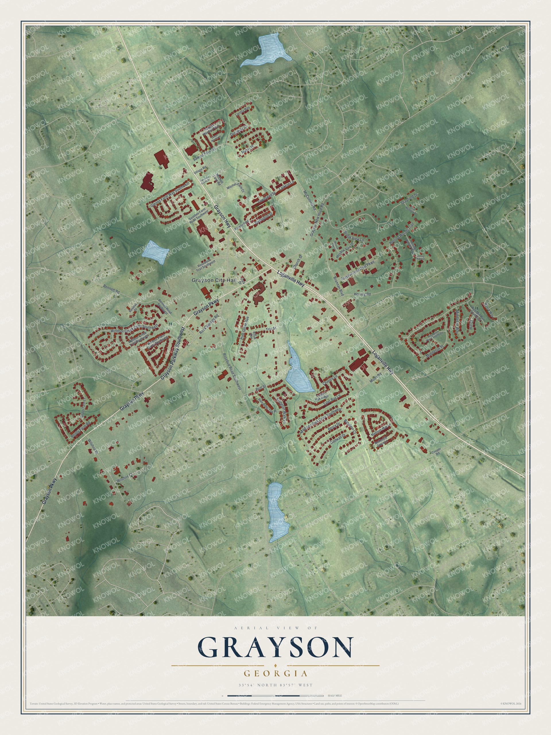
This beautifully detailed map of Grayson, Georgia was created in 2026 using aerial imagery combined with modern topographical, census, street and landmark data. It’s a one-of-a-kind view of Grayson that combines accurate data with a vintage aesthetic. The map shows every building in its true location, many of the roads carry their names, and the shaded topographic relief shows the shape of the land.
Explore an aerial view of Grayson, Georgia
On the map you’ll find Grayson City Hall, along with Loganville Highway, Grayson Highway, Grayson Parkway, Rosebud Road, and more. If you look closely you can even find your house accurately drawn in its correct location. Zoom in on the preview to look for yours.
Did You Know?
Grayson was first known as Trip. In 1901, postmaster John Ellery Jacobs asked to rename it Berkley, and the state incorporated the town that year. Then Jacobs learned Georgia already had a Berkley. His next idea, Graymount, came from the clear view of Stone Mountain, but it was taken too. So he proposed Grayson.
Take a closer look at the Grayson map
Names on this map
These names are printed on this map.
Places: Grayson City Hall.
Streets and roads: Loganville Highway, Grayson Highway, Grayson Parkway, Grayson Parkway Southwest, Rosebud Road Southwest, Middleton Place, Britt Street, Madison Park Drive Southwest, Grayfield Drive, Windsor Creek Drive Southwest, Bennett Road, Moon Road.
More street names, A to Z
Alexander Top Place, Arboretum Place Southeast, Arlington Walk Lane, Bateleur Court, Bennett Road Southwest, Besra Drive, Billue Avenue, Bishopton Street, Brannan Boulevard, Brook View Lane, Chance Lane, Church Street, Clark Lake Estates Drive, Cooper Road, Corbin Oak Ridge, Dunaway Court, Gadwall Drive, Glenns Farm Way Southwest, Gray Meadow Drive, Grayson Industrial Parkway, Grayson New Hope Road, Herring Ridge Court, Herring Road, Herring Woods Trail, Herring Woods Way, Hill Court, Larkton Lane, Loretta Way, Mabry Place, Madison Mae Lane, McConnell Road, McKenzie Grace Lane, Meadow View Court, Meadow View Drive, Middleton Way, Mitchell Farm Court, Mitchell Farm Road, Park Drive, Pine Grove Avenue, Reddy Farm Lane, Reddy Farm Road, Reserve Drive, Rice Mill Run Southeast, Rock Springs Road, Rosebud Road, Rosewood Trail Southwest, Sawyer Farm Drive, Sawyer Meadow Place, Sawyer Meadow Way, Sosebee Farm Road Southwest, Townsend Street, Trip Street, Tyler Bay Lane, Village Road, Wevok Way, Wilshire Court, Wilshire Drive, Windsor Creek Trail Southwest, Windsor Place Circle Southwest.
See it on a wall
The Grayson map as a framed print. Swipe for more.


This beautifully detailed map of Grayson makes an attractive addition to your office, library, or den, and it can even be used to teach children the geography and history of the area. It also makes a great gift for anyone with Grayson roots. When you’re done exploring, click here to get your copy of the Grayson map.