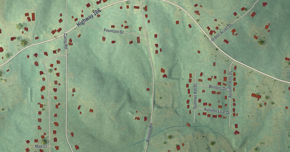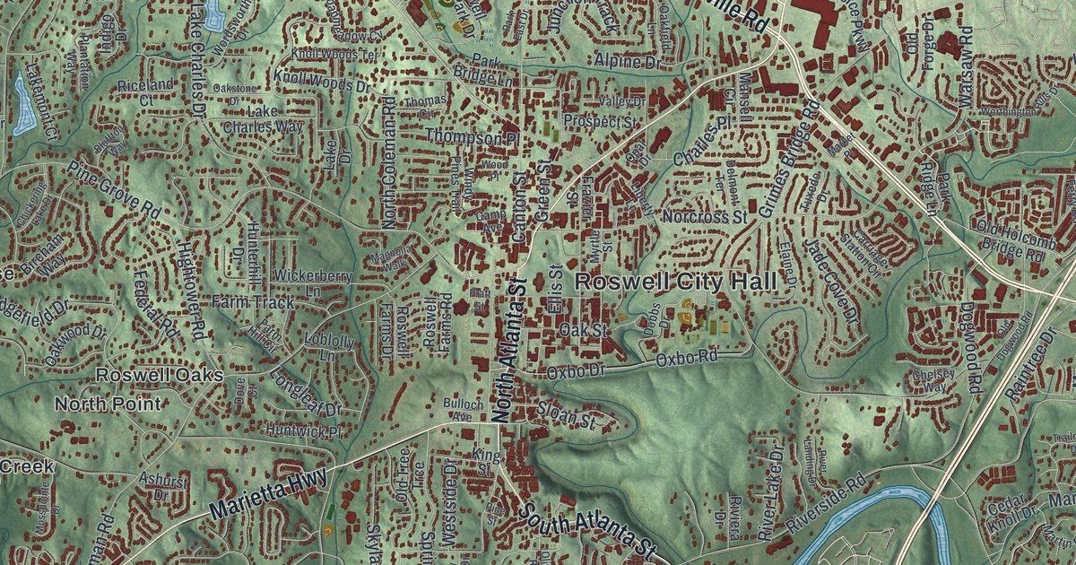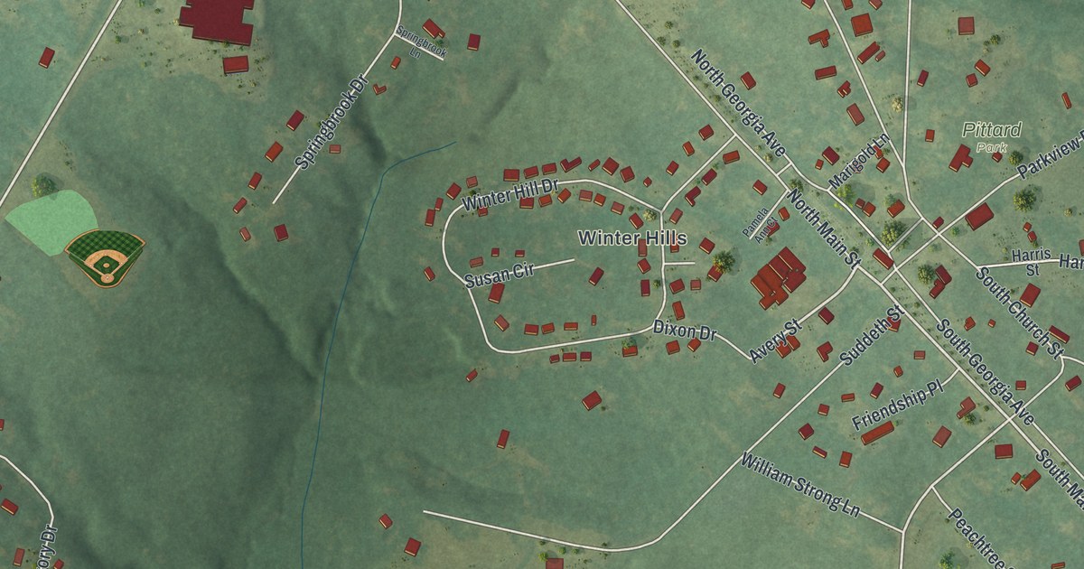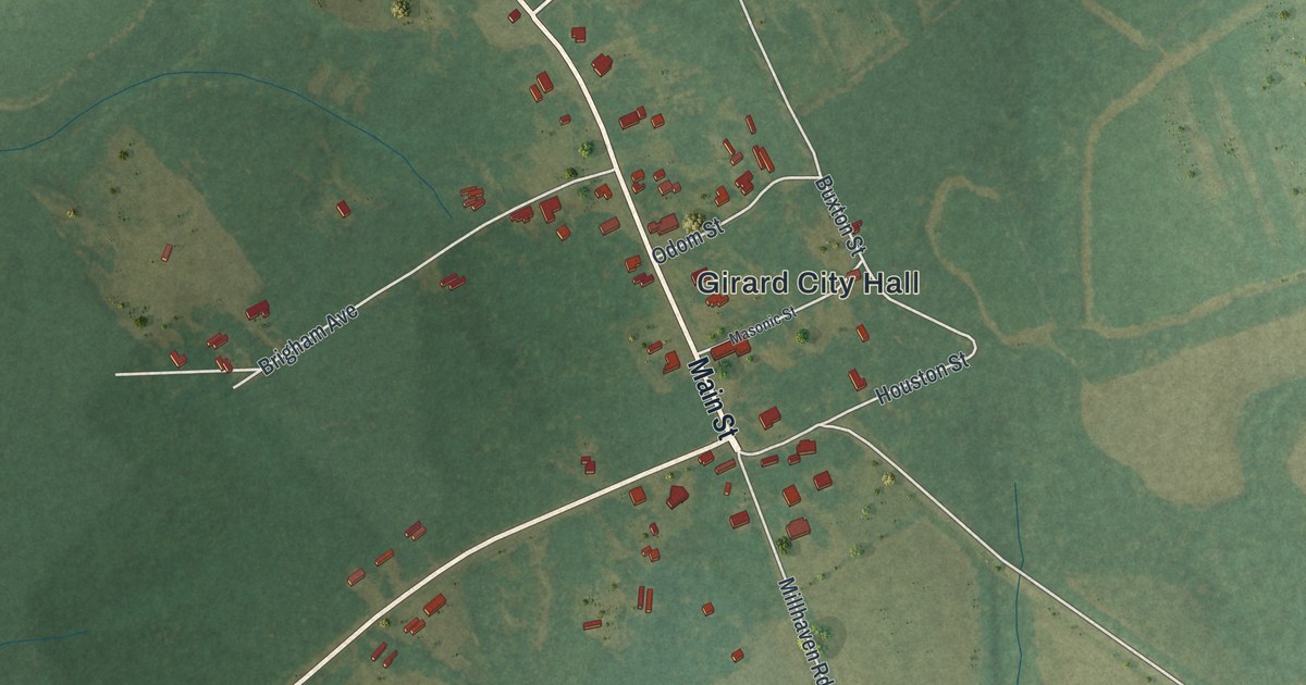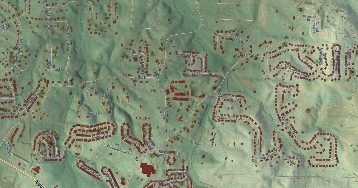
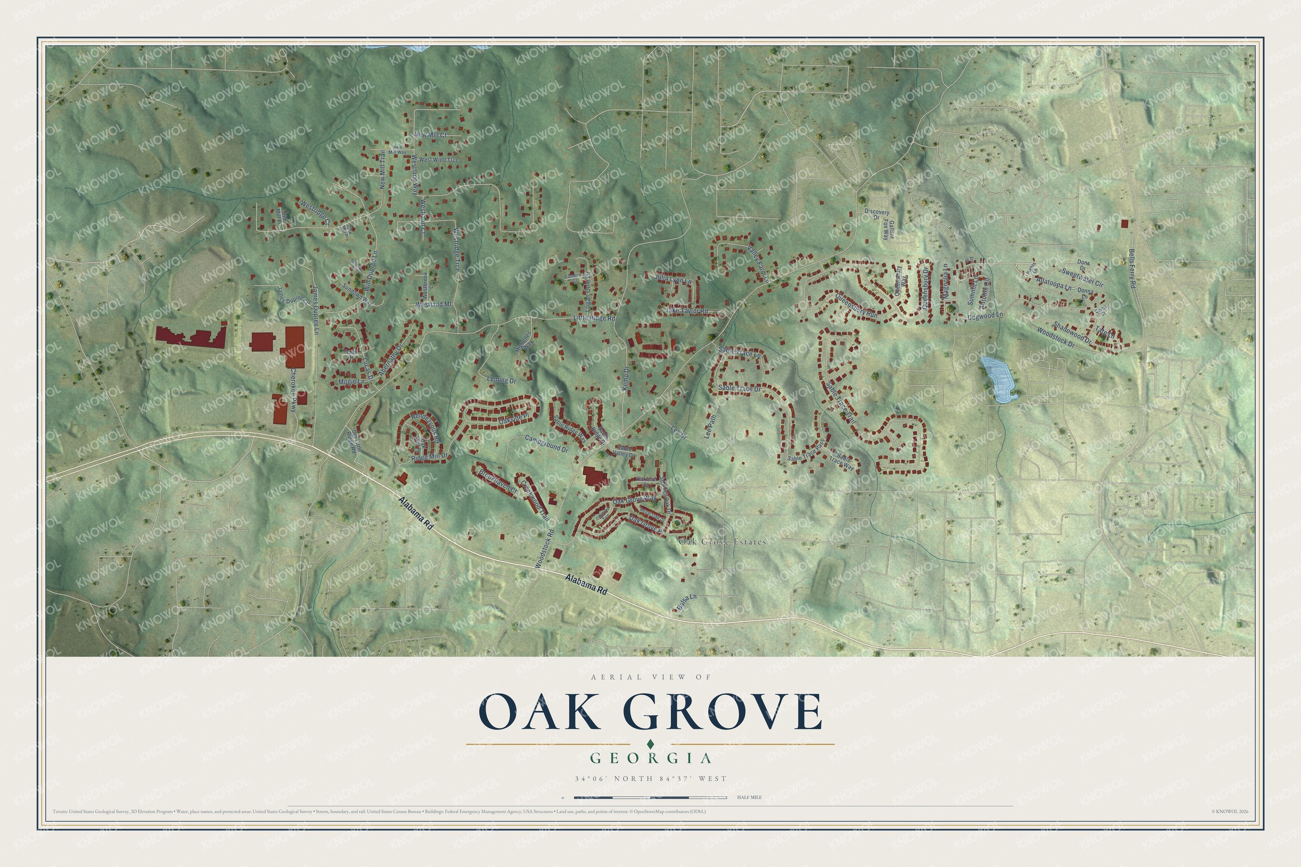
This beautifully detailed map of Oak Grove, Georgia was created in 2026 using aerial imagery combined with modern topographical, census, street and landmark data. It’s a one-of-a-kind view of Oak Grove that combines accurate data with a vintage aesthetic. The map shows every building in its true location, many of the roads carry their names, and the shaded topographic relief shows the shape of the land.
Explore an aerial view of Oak Grove, Georgia
On the map you’ll find Oak Grove Estates, along with Alabama Road, Allatoona Lane, Bells Ferry Road, Woodstock Road, Little Ridge Road, Westland Way, Sable Trace Trail, Kemp Drive, New Mill Trail, Dogwood Lane, James Dupree Lane, and more. If you look closely you can even find your house accurately drawn in its correct location. Zoom in on the preview to look for yours.
Take a closer look at the Oak Grove map
Names on this map
These names are printed on this map.
Places: Oak Grove Estates.
Streets and roads: Alabama Road, Allatoona Lane, Bells Ferry Road, Woodstock Road, Little Ridge Road, Westland Way, Sable Trace Trail, Kemp Drive, New Mill Trail, Dogwood Lane, James Dupree Lane, Will Dupree Lane.
More street names, A to Z
Abernathy Drive, Autumn Circle, Balsa Lane, Brookhaven Court, Cameron Court, Campground Drive, Cherokee Parkway, Creekwood Trail, Curtis Court, Discovery Drive, Donna Lane, Dons Drive, Elm Drive, Gallant Fox Way, Goldi Court, Hights Lane, Jake Taylor Road, James Dupree Court, Julia Lynn Lane, Lee Drive, Lee Path, Leming Drive, Logan Cole Drive, Lucas Drive, Magnolia Lane, Michelles Way, Mogie Lane, New Mill Court, New Mill Place, New Mill Way, Oak Grove Place, Oak Grove Way, Oakleaf Court, Oak Leaf Place, Oakside Place, Oakwood Trce, Old Little Ridge Road, Old Mill Place, Queensbury Drive, Queensbury Run, Queensbury Way, Rendezvous Road, Ridge Mill Drive, Royal Oak Drive, Sable Ridge Drive, Sable Ridge Way, Sable Trace Drive, Sable Trace Lane, Sable Trace Pass, Sable Trace Way, Sable Valley Drive, Shadowood Drive, Spanish Oak Drive, Summit Lane, Sundown Drive, Sundown Way, Sweetwater Circle, Tate Lane, Valley Farm Lane, Westbrook Lane, Westland Court, Westland Ml, Westridge Court, Westridge Trce, West Wind Trce, Woodstock Drive.
See it on a wall
The Oak Grove map as a framed print. Swipe for more.


This beautifully detailed map of Oak Grove makes an attractive addition to your office, library, or den, and it can even be used to teach children the geography and history of the area. It also makes a great gift for someone who left Oak Grove and still calls it home. When you’re done exploring, click here to get your copy of the Oak Grove map.