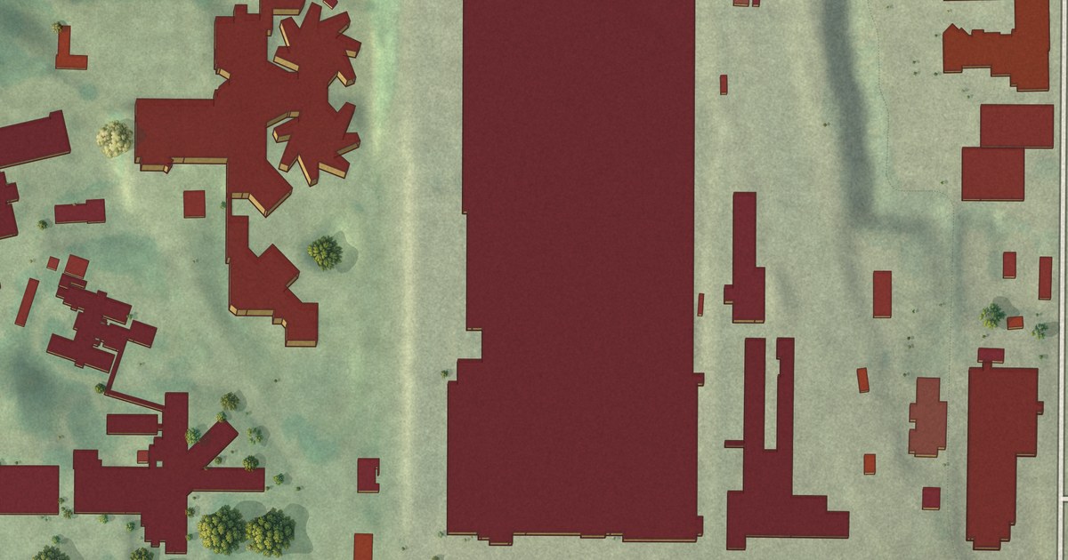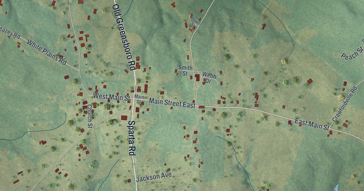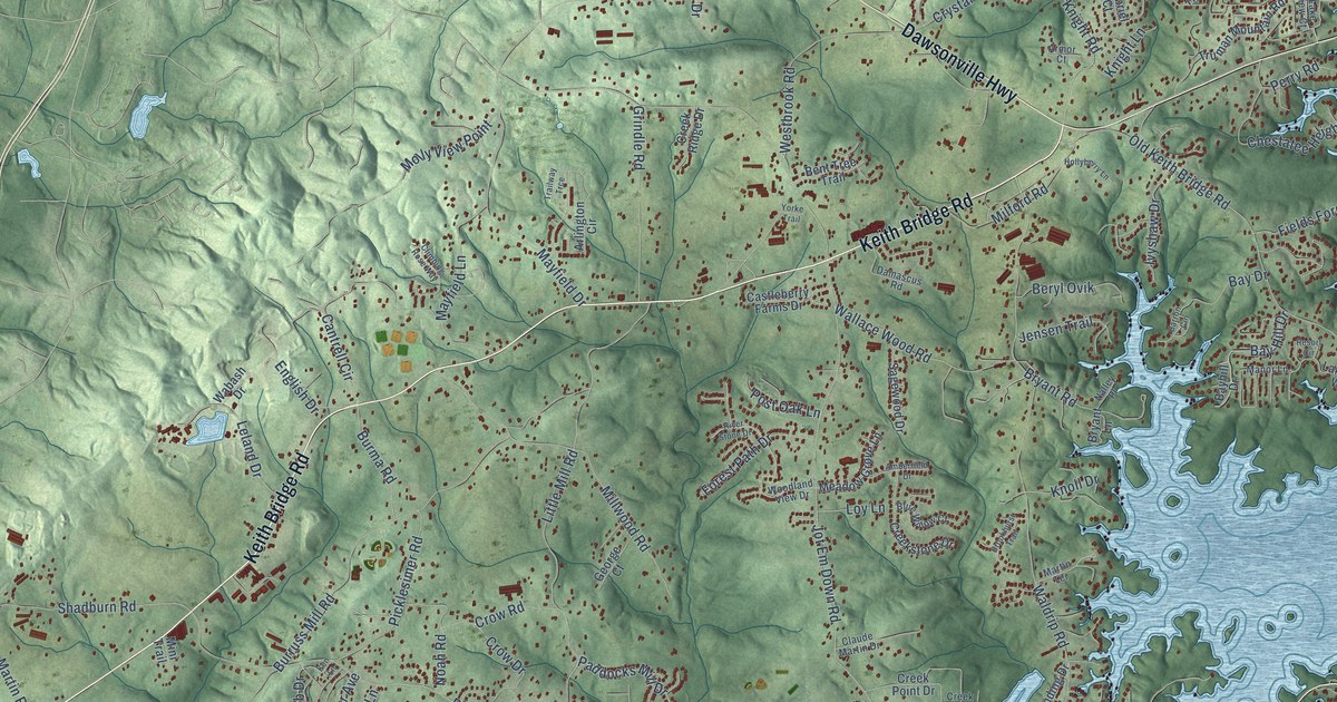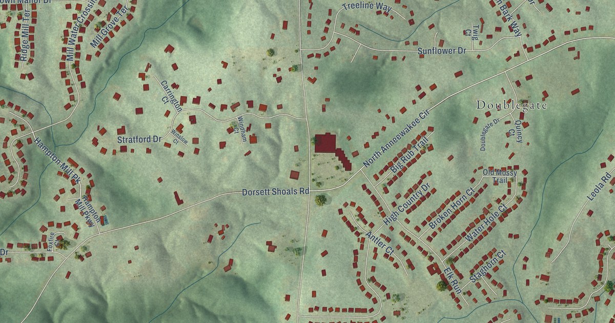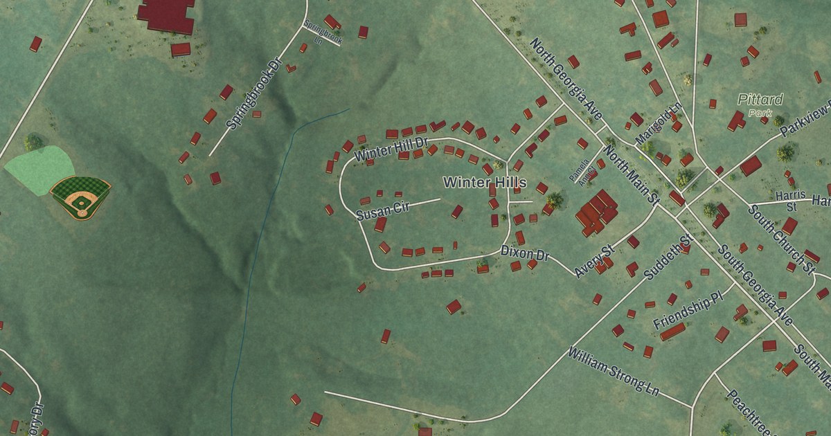
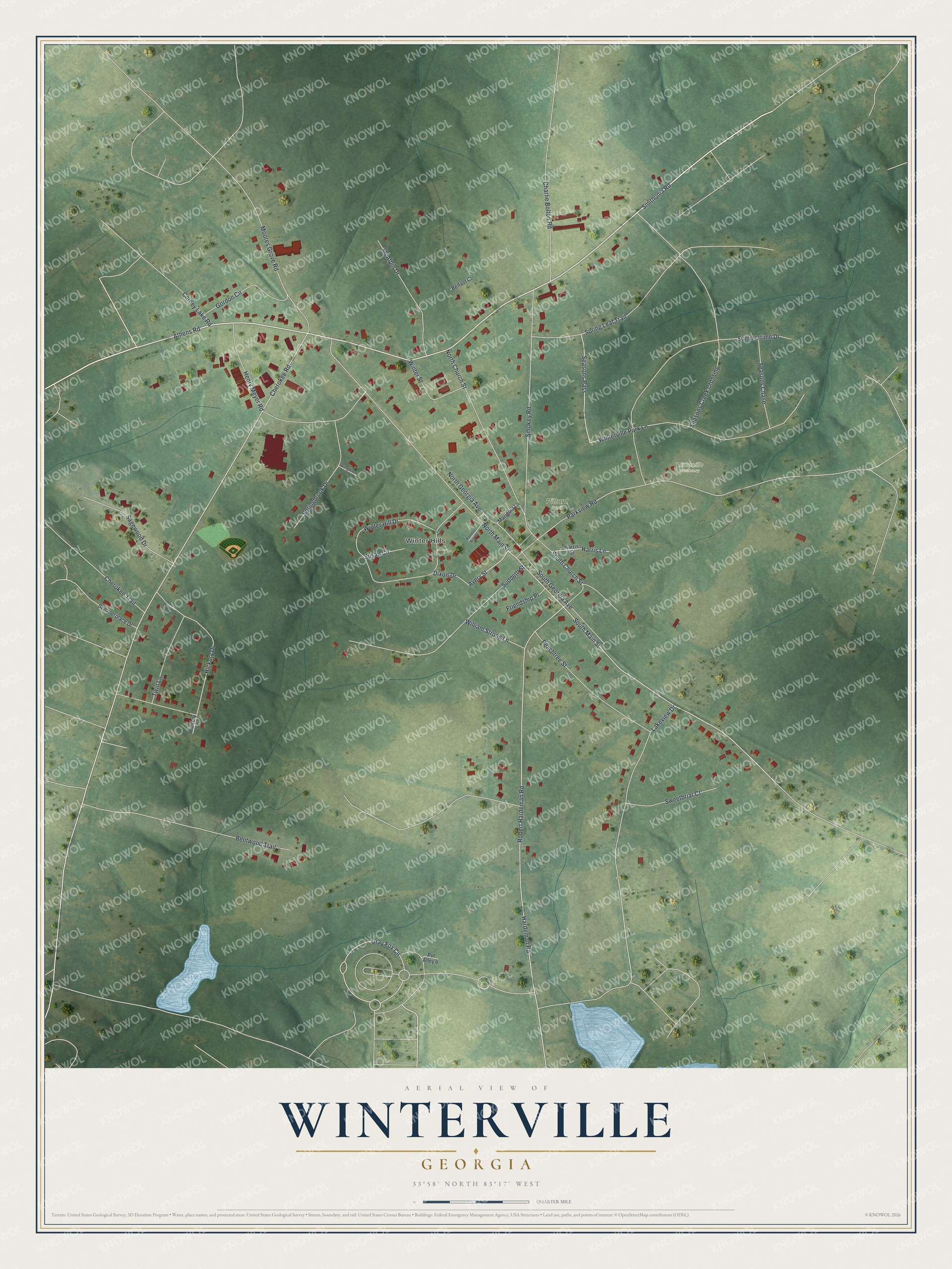
This beautifully detailed map of Winterville, Georgia was created in 2026 using aerial imagery combined with modern topographical, census, street and landmark data. It’s a one-of-a-kind view of Winterville that combines accurate data with a vintage aesthetic. The map shows every building in its true location, many of the roads carry their names, and the shaded topographic relief shows the shape of the land.
Explore an aerial view of Winterville, Georgia
On the map you’ll find Winter Hills and Pittard Park, along with Smithonia Road, Athens Road, Main Street, Avery Street, Cherokee Road, and more. If you look closely you can even find your house accurately drawn in its correct location. Zoom in on the preview to look for yours.
Did You Know?
Winterville was named for John Winter, a railroad official, and became a city in 1904. In 1991, Athens gave up its city charter to join Clarke County in one unified government. Since then, Winterville has been the only city lying entirely inside Athens-Clarke County.
Take a closer look at the Winterville map
Names on this map
These names are printed on this map.
Places: Winter Hills, Pittard Park and Winterville Cemetery.
Streets and roads: Smithonia Road, Athens Road, South Main Street, Avery Street, Cherokee Road, Robert Hardeman Road, Gray Fox Circle, Parkview Road, Winterville Park Lane, North Main Street, Winter Hill Drive, Summertime Drive.
More street names, A to Z
Belfast Court, Bentwood Trail, Carney Lake Road, Charlie Bolton Road, Cherokee Trail, Dixon Drive, Friendship Place, Gordon Circle, Hardeman Road, Harris Lane, Harris Street, Henry Meyer Road, Hickory Drive, Hickory Lane, Lakeview Drive, Marigold Lane, McAlpin Drive, Moores Grove Road, North Church Street, North Georgia Avenue, Pamela Ann Court, Peachtree Street, Pvt Alley 6, Sagewood Drive, Seasons Chase, Seasons Creek Crossing, Seasons Pass, Smokey Road, South Church Street, South Georgia Avenue, Springbrook Drive, Springbrook Lane, Spring Leaf Trail, Suddeth Street, Summerplace Drive, Susan Circle, Sweetbriar Court, Twin Lane, William Strong Lane, Winter Street.
See it on a wall
The Winterville map as a framed print. Swipe for more.


This beautifully detailed map of Winterville makes an attractive addition to your office, library, or den, and it can even be used to teach children the geography and history of the area. It also makes a great gift for anyone who grew up in Winterville or moved away. When you’re done exploring, click here to get your copy of the Winterville map.