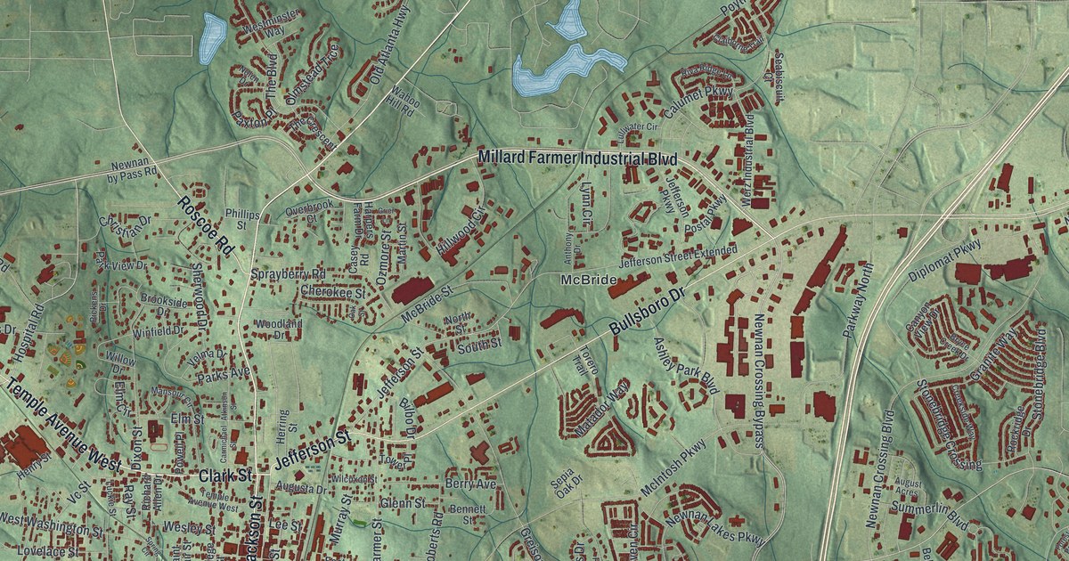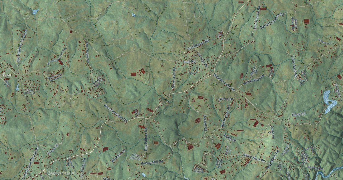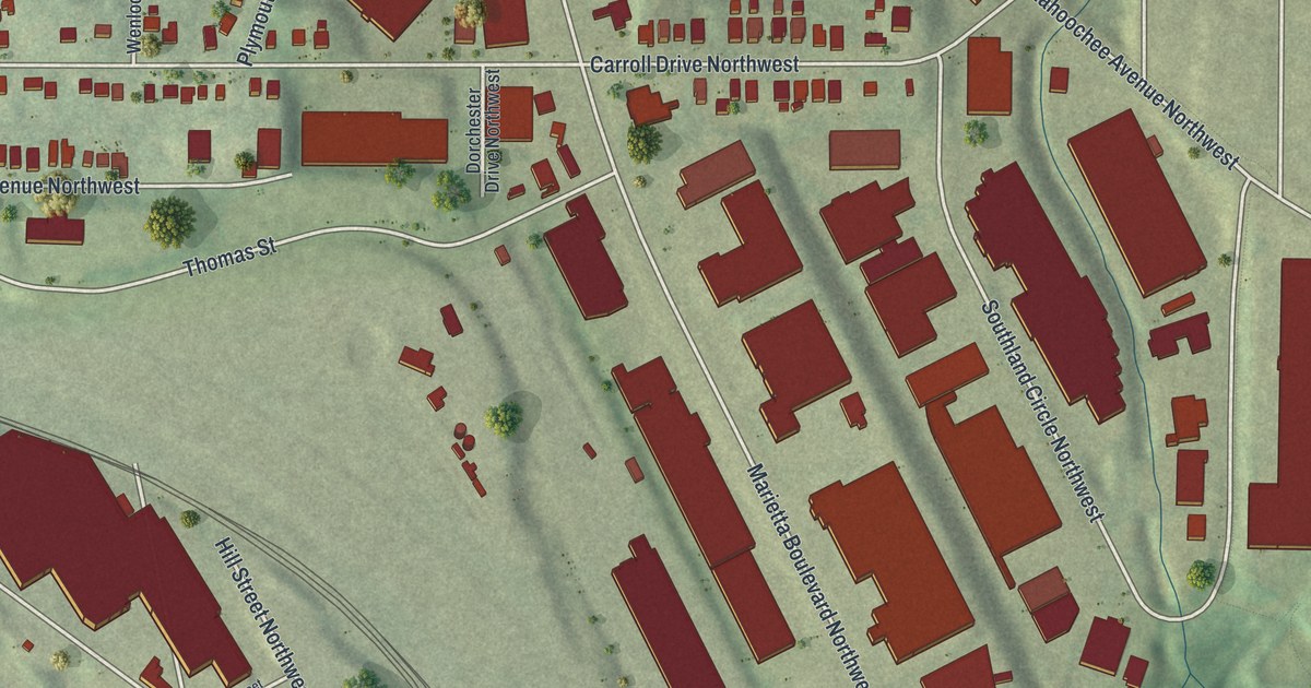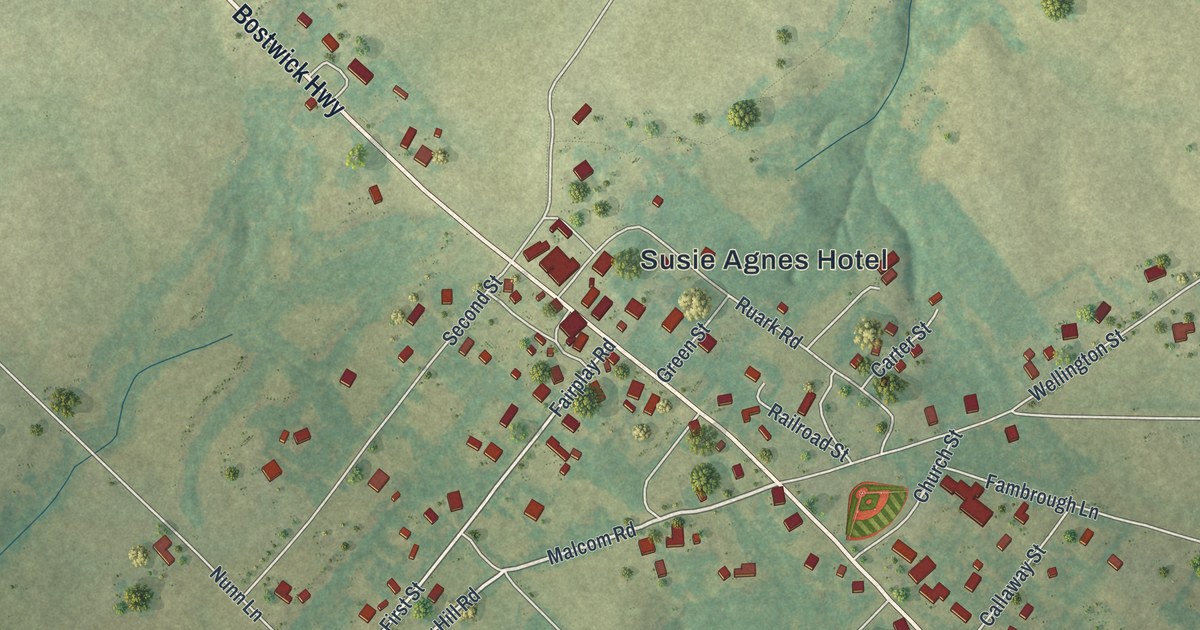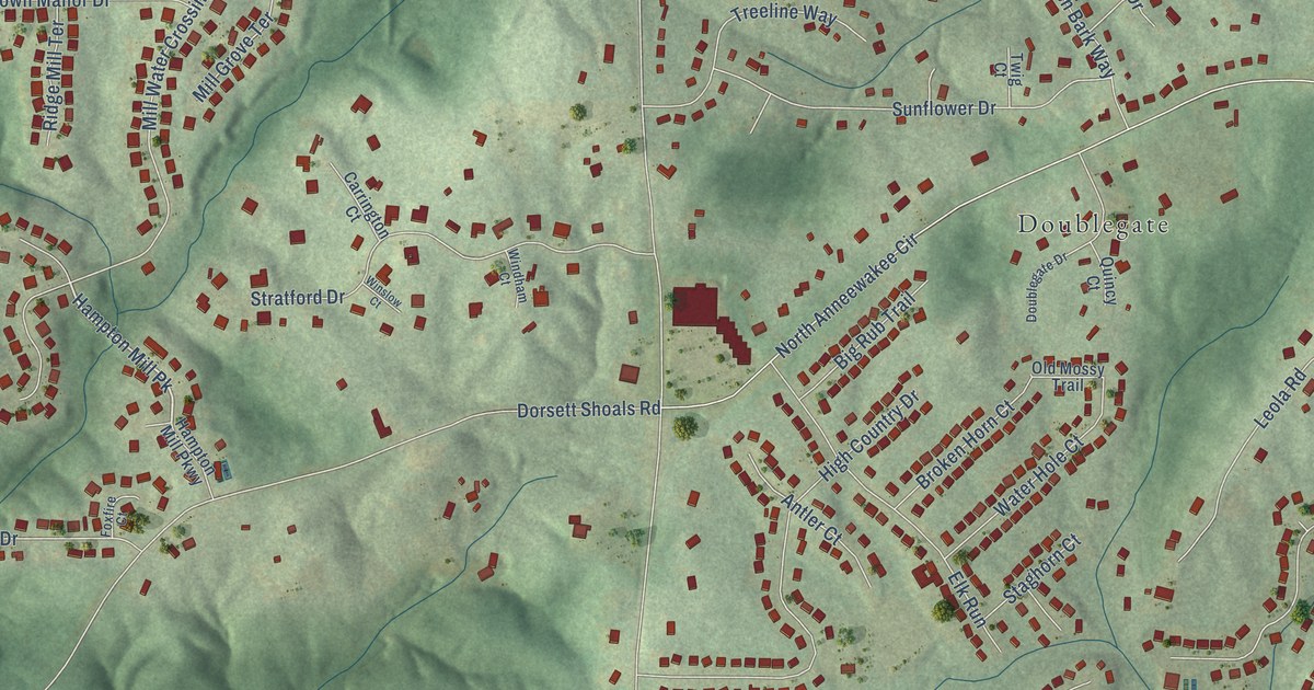
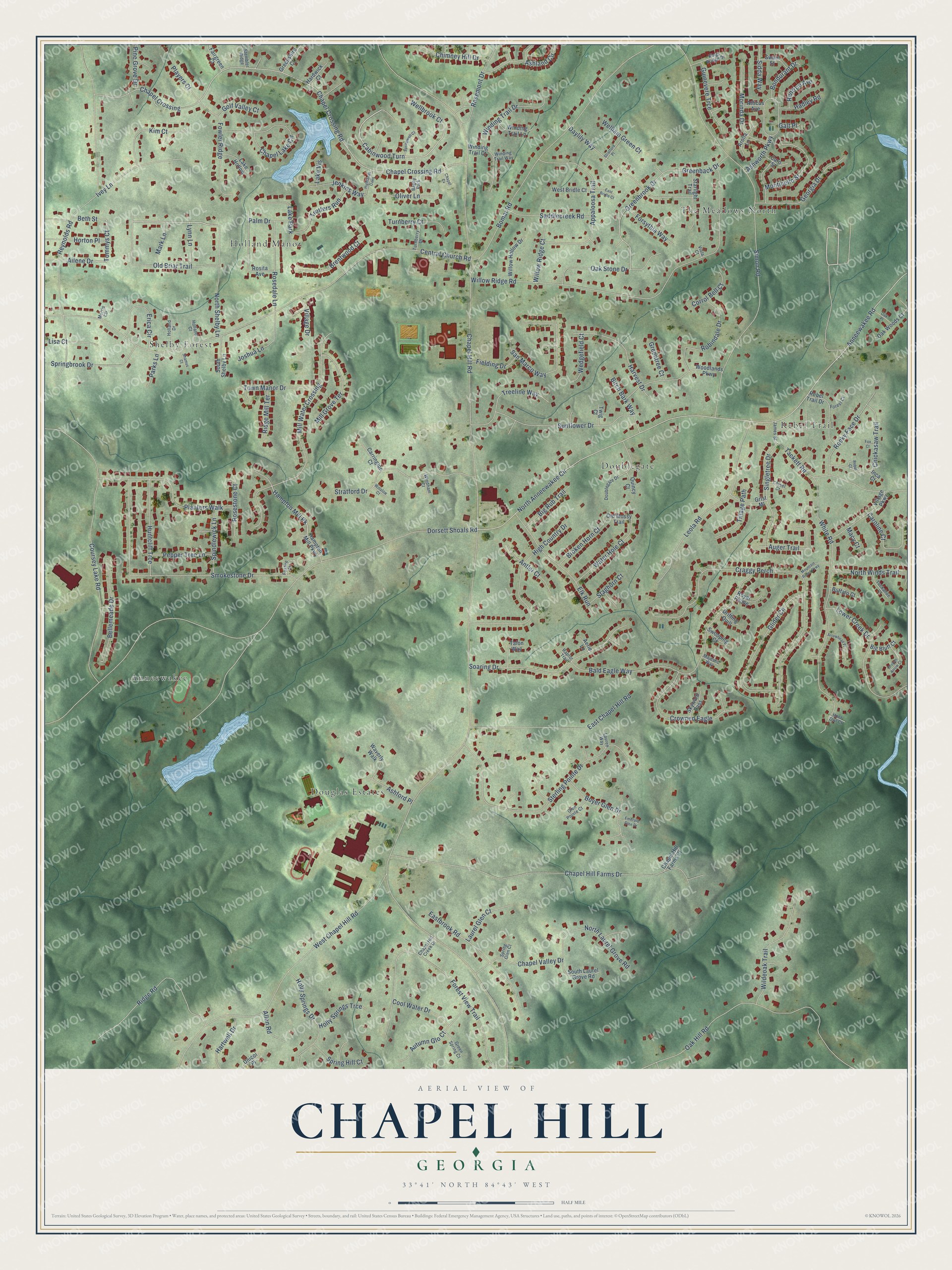
This beautifully detailed map of Chapel Hill, Georgia was created in 2026 using aerial imagery combined with modern topographical, census, street and landmark data. It’s a one-of-a-kind view of Chapel Hill that combines accurate data with a vintage aesthetic. The map shows every building in its true location, many of the roads carry their names, and the shaded topographic relief shows the shape of the land.
Explore an aerial view of Chapel Hill, Georgia
On the map you’ll find Douglas Estates, The Meadows North, Holland Manor, Doublegate, Shelby Forest, Anneewakee, Cabinwood Turn, and Hampton Mill Pk, along with Rebel Trail, Old Briar Trail, Tommys Court, Wellbrook Court, and more. If you look closely you can even find your house accurately drawn in its correct location. Zoom in on the preview to look for yours.
Did You Know?
From Internet Archive: "Fitted for college at a preparatory school in Chapel Hill, North Carolina, he was subsequently graduated from the University of North Carolina, and was admitted to the bar."
Chapel Hill is a community in Douglas County.
Take a closer look at the Chapel Hill map
Names on this map
These names are printed on this map.
Places: Douglas Estates, The Meadows North, Holland Manor, Doublegate, Rebel Trail, Shelby Forest, Anneewakee, Lake Park and Bagby Park.
Streets and roads: Old Briar Trail, Cabinwood Turn, Tommys Court, Wellbrook Court, Hampton Mill Pk, Chapel Hill Road, Anneewakee Road, North Anneewakee Circle, Dorsett Shoals Road, Central Church Road, Simon Road, Reynolds Road.
More street names, A to Z
Aerie Lane, Ailene Drive, Allen Road, Antler Court, Appaloosa Trail, Arolla Lane, Arrowhead Place, Ashford Place, Ashland Circle, Ashworth Parkway, Atticus Avenue, Auger Trail, Autumn Glo Court, Bald Eagle Way, Bellemeade Drive, Beth Street, Big Bluff Court, Big Rub Trail, Birch Bark Way, Bomar Road, Bondurant Drive, Boyer Glen Drive, Brentwood Court, Broken Arrow Court, Broken Horn Court, Buffalo Court, Caroline Court, Caro Street, Carrington Court, Chapel Crossing, Chapel Crossing Road, Chapel Cv, Chapel Hill Creek Drive, Chapel Hill Farms Court, Chapel Hill Farms Drive, Chapel Lake Circle, Chapel Valley Drive, Chickasaw Trail, Chimney Hill Drive, Chisel Court, Cool Water Drive, Corrol Bell Court, Coursey Lake Road, Craggy Perch, Crowned Eagle, Daylily Way, Doublegate Drive, Drifting Quill, East Bridle Court, Eastbrook Road, East Chapel Hill Road, Elk Run, Emerald Glen Drive, Erica Circle, Fairgreen Court, Fielding Drive, Forest Court, Forest View Trail, Forsythia Way, Fowler Ridge, Fox Court, Foxfire Court, Galt Place, Georgia Drive, Glen Pointe Court, Glider Circle, Golf Valley Court, Greenback Drive, Greenbrook Drive, Greenshire Court, Green Spring Court, Greentree Court, Grist Ml, Guinevere Trce, Hadley Road, Hampton Mill Parkway, Hardwick Court, Hartwell Drive, Harvest Drive, High Country Drive, Highlands Oaks, Holland Court, Holland Drive, Holly Springs Drive, Holly Springs Trce, Hoot Owl Court, Horton Place, Huntcliff Trce, Inca Court, Ivey Lane, James Street, Jenkins Way, Joshua Lane, Kim Court, Kings Bridge Drive, Lake Hollow, Lake Vis, Laurel Glen Court, Lauren Way, Leola Road, Lisa Court, Lower Creek Drive, Lynn Lane, Macy Court, Majestic Way, Mark Lane, Mill Grove Terrace, Mill Water Crossing, Monticello Street, Morinda Drive, Morris Circle, Mountain Roost Parkway, North Laurel Grove Road, North Shelby Lane, North Winds Trail, Oak Hill Road, Oak Place, Oak Stone Drive, Oak Woods Court, Old Mossy Trail, Oliver Lane, Palm Drive, Parks Lane, Pepper Tree Lane, Pine Grove Drive, Planters Walk, Players Court, Quincy Court, Raptor Trail, Rebel Court, Rebel Trail Drive, Renfroe Avenue, Ridge Mill Terrace, Ridge Road, Robindale Drive, Rocky Face Drive, Rosedale Lane, Rosemont Drive, Rosestone Court, Rosita Avenue, Royal Plume, Saddlecreek Road, San Marco Way, Shamus Court, Sidda Way, Singletree Drive, Skyward Pass, Smokestone Drive, Soaring Drive, South Laurel Grove Road, South Shelby Lane, Spindlewick Lane, Springbrook Drive, Spring Glen Court, Spring Hill Court, Springwell Court, Staghorn Court, Starlight Trail, Stembler Ridge, Sterling Pointe Drive, Stratford Drive, Stratford Place, Sunflower Drive, Swain Street, Swooping Court, Tackett Road, Talon Way, Tillage Path, Town Manor Drive, Treeline Way, Trotters Run, Tuckahoe Court, Turnberry Court, Turnberry Drive, Twig Court, Unicoi Place, Village Drive, Village Parkway, Viola Court, Water Hole Court, Waverly Walk, Wedgefield Court, Welham Green Court, West Bridle Court, West Chapel Hill Road, White Road, Wildeoak Trail, Willow Hollow Drive, Willow Ridge Court, Willow Ridge Road, Windham Court, Winding Trail Court, Winding Trail Drive, Winding Trail Lane, Winding Trail Way, Winslow Court, Woodlands Parkway.
See it on a wall
The Chapel Hill map as a framed print. Swipe for more.


This beautifully detailed map of Chapel Hill makes an attractive addition to your office, library, or den, and it can even be used to teach children the geography and history of the area. It also makes a great gift for anyone with Chapel Hill roots. When you’re done exploring, click here to get your copy of the Chapel Hill map.