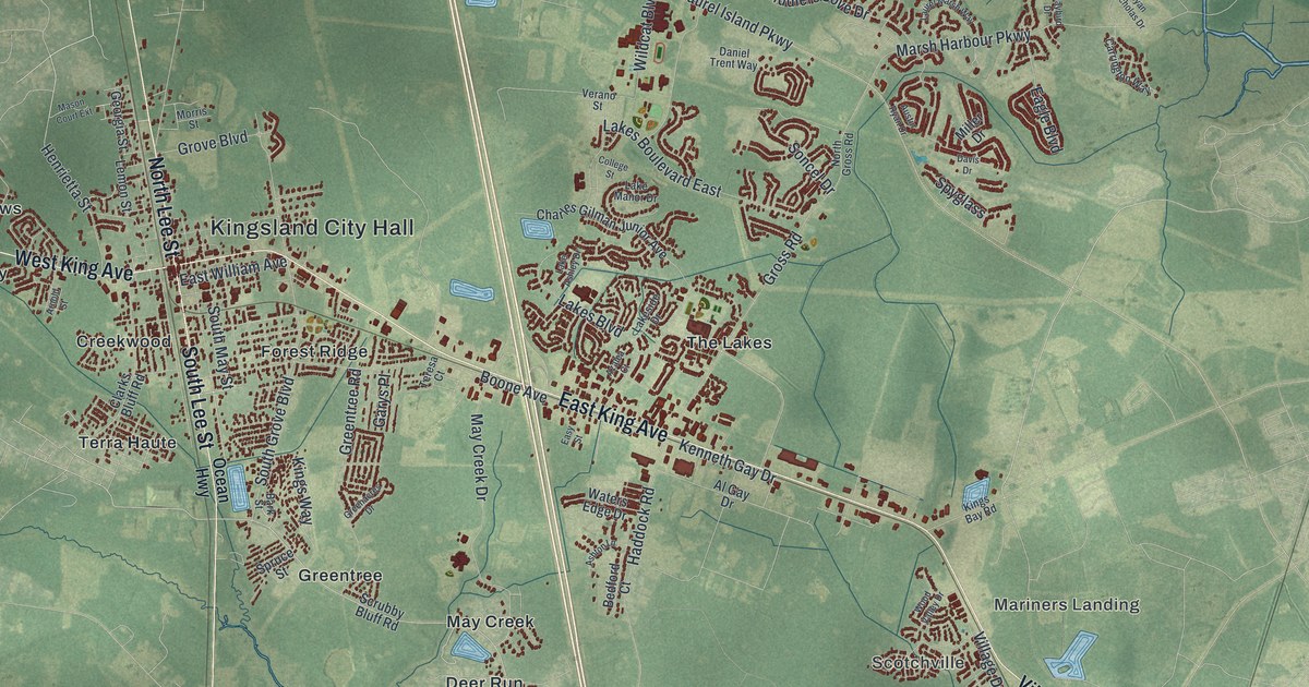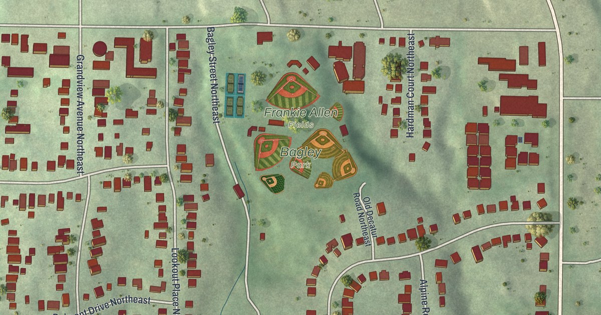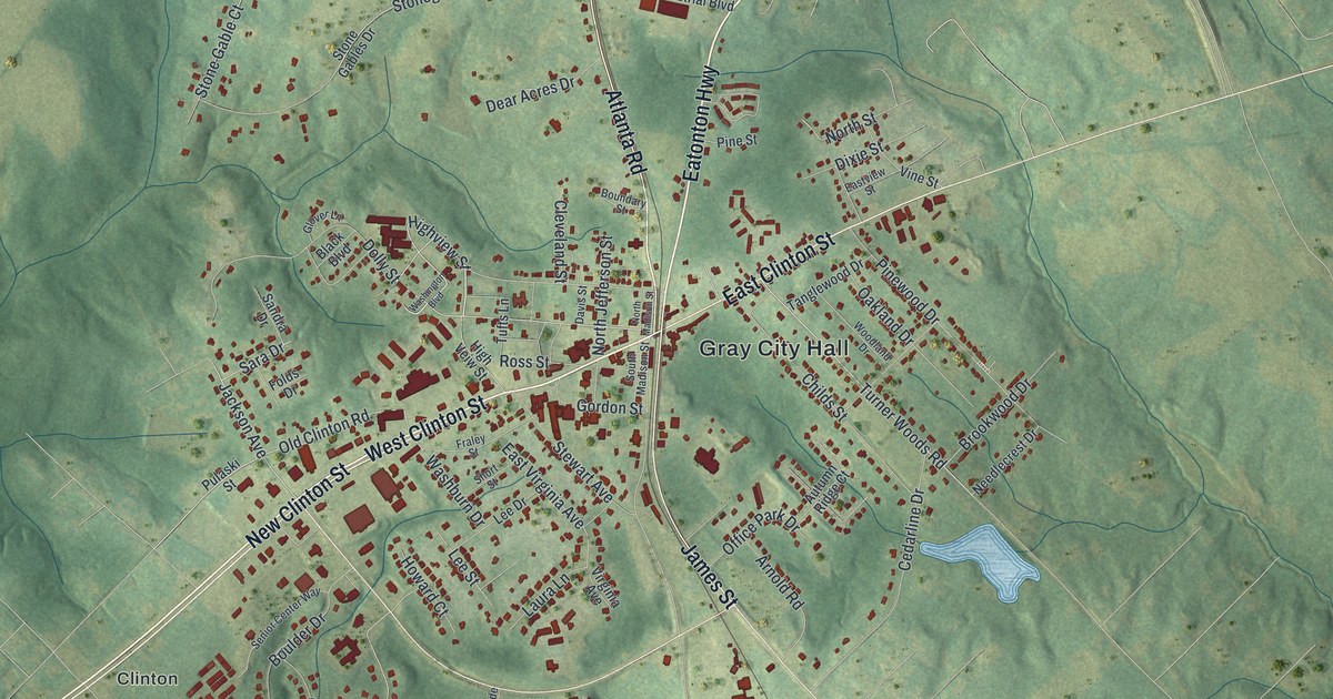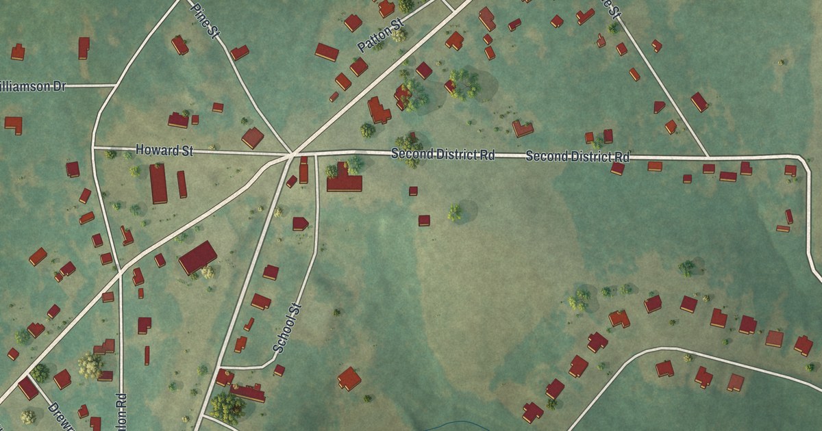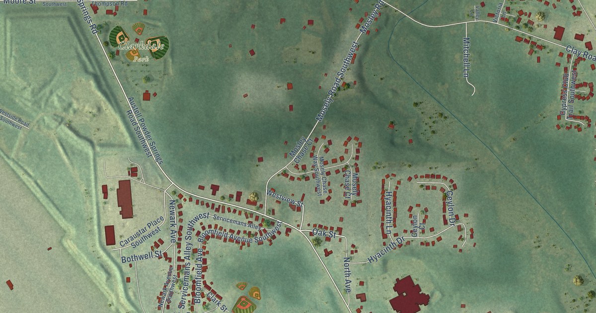
This beautifully detailed map of Clarkdale, Georgia was created in 2026 using aerial imagery combined with modern topographical, census, street and landmark data. It’s a one-of-a-kind view of Clarkdale that combines accurate data with a vintage aesthetic. The map shows every building in its true location, many of the roads carry their names, and the shaded topographic relief shows the shape of the land.
Explore an aerial view of Clarkdale, Georgia
On the map you’ll find Austell City Hall, Clarkdale Park, Legion Park, Sweetwater Park, Wesley Station, James Heights, Hillsdale Heights, Austell, and Dogwood Golf Club, along with Austell Powder Springs Road, Old Westside Road, Powder Springs Road, and more. If you look closely you can even find your house accurately drawn in its correct location. Zoom in on the preview to look for yours.
Take a closer look at the Clarkdale map
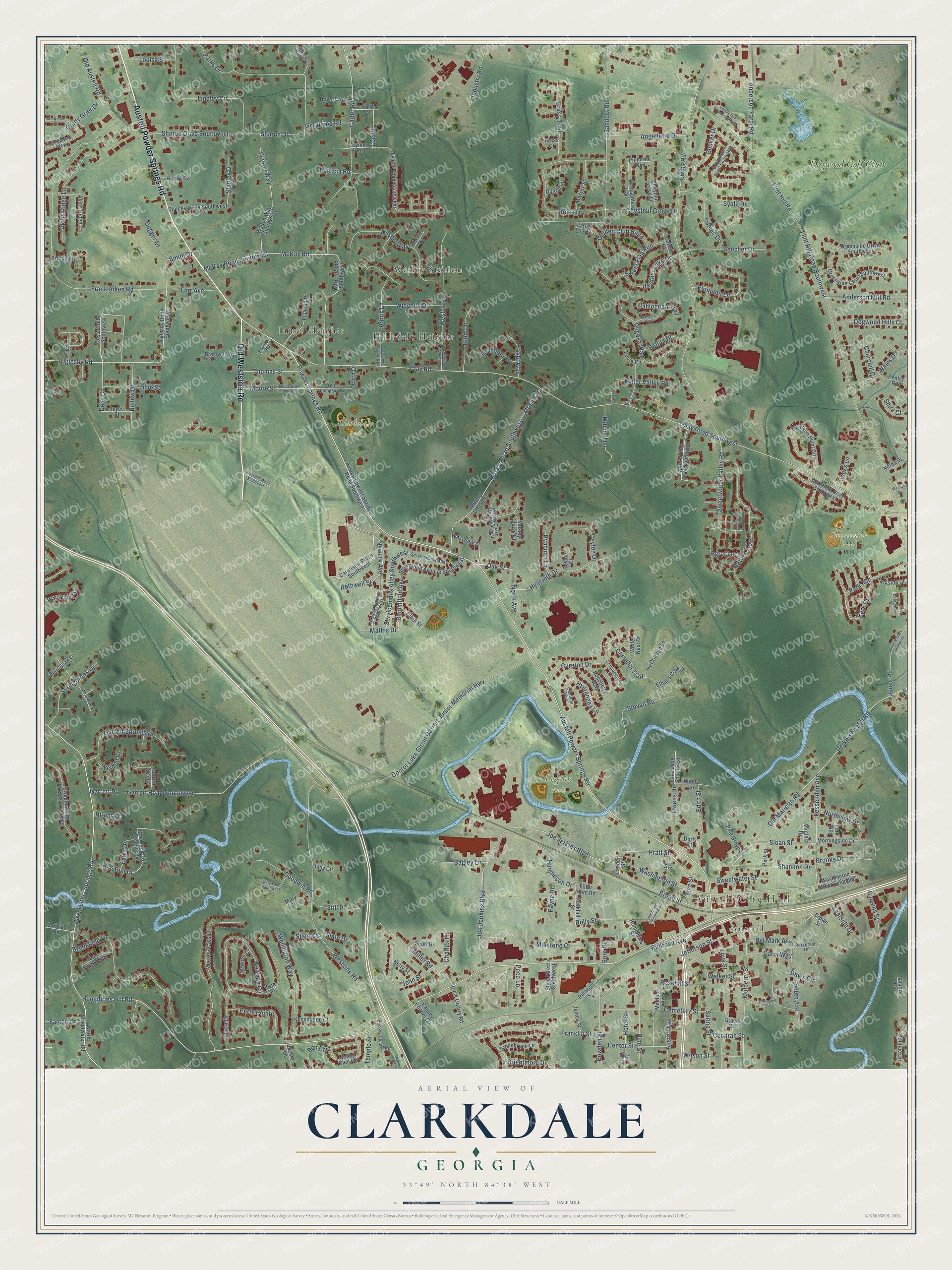
Names on this map
These names are printed on this map.
Places: Austell City Hall, Clarkdale Park, Legion Park, Sweetwater Park, Wesley Station, James Heights, Hillsdale Heights, Austell and Dogwood Golf Club.
Streets and roads: Austell Powder Springs Road, Old Westside Road, Powder Springs Road, Humphries Hill Road, Hiram Lithia Springs Road, Oak Street, Pine Street, Newark Avenue, Pratt Street, Lee Road, Fessenden Avenue, Sweetwater Valley Road.
More street names, A to Z
Abney Drive, Akins Ridge Court, Akins Ridge Lane, Anderson Farm Road, Anderson Mill Road, Angellette Drive, Austell Avenue, Austell Powder Springs Road Southwest, Bagley Lane, Ballew Drive, Beecher Drive, Ben Boulevard, Betty Street, Betula Drive, Bill Mark Avenue, Bloomfield Avenue, Bloomfield Avenue Southwest, Bonny Glen Circle, Bothwell Street, Bowden Street, Boynton Road, Brass Court, Brass Drive, Brass Trail, Braswell Road, Brightmore Drive, Brittany Drive, Broadmoor Court Southwest, Broad Street, Brookfield Drive, Brooks Drive, Brown Street, Bunker Drive, Calebs Way, Camellia Trail, Caraustar Place Southwest, Carol Way, Carter Road, Carter Road Southwest, Cattail Court, Causey Chapel Circle, Causey Chapel Road, Causey Road, Cemetery Street, Center Street, Ceylon Court, Ceylon Drive, Charles Lane, Chestnut Grove Drive, Chestnut Grove Lane, Churchill Court, Clark Street, Clay Road, Clay Road Southwest, Cochran Street, Cousins Street, Crabapple Trail, Cureton Drive, Cypress Club Trail Southwest, Dahlonega Trail, Dalton Lane, Davis Circle, Deer Brook Trail, Doctor Luke Glenn Garrett Junior Memorial Highway, Doe Run Drive, Doe Run Drive Southwest, Dogwood Hills Court, Doris Street, Doss Circle, Doss Circle Southwest, Double Iron Drive Southwest, Dugger Drive, Eastside Drive, Edith Street, Egret Lane, Eloquent Lane, Ethans Cove Drive, Eugenia Place, Ewing Road, Falcon Drive, Fawn Drive, Filter Plant Road, Five Oaks Court, Flint Hill Road, Flint Hill Road Southwest, Flintlock Place, Frank Aiken Road, Franklin Street, Furr Avenue, Garrett Knolls, Garrett Road, Garrett Road Southwest, Garrett Springs Drive, Geraldine Street, Geralding Road, Gladiola Way, Glory Drive, Golden Club Bend, Goodwin Road, Gore Place, Grace Street, Grady Grier Drive, Grandeur Drive, Greenside Court Southwest, Greenside Drive Southwest, Harris Lane, Harris Lane Southwest, Heather Lake Drive, Hiram Court, Hotel Street, Hovers Road, Humphries Street, Hutcheson Drive, Hyacinth Drive, Hyacinth Lane, Hydrangea Lane, Industry Road, Ivy Cottage Lane, Jackie Lane, James Street, Jefferson Street, Jocks Lane, Jody Circle, Joe Jenkins Boulevard, Joe Jerkins Boulevard, Joe Street, Joe Street Southwest, John Street, Jones Road, Jones Road Southwest, Joyce Street, Kensington Court, Lake Lane Southwest, Lakeview Court, Landers Street, Light Way, Lillie Street, Lindley Circle, Louise Street, Love Street, Lynne Road, Lynne Road Southwest, Madison Point Circle, Margo Street, Marksman Trail, Mary Lane Southwest, Mary Street, Mathis Drive, McKay Road, McKay Road Southwest, Medlock Avenue, Miller Road, Millstone Court, Mistymorn Lane, Mistymorn Way, Mitchell Lane, Moore Road Southwest, Moore Street, Morningside Drive, Mosely Chase Court, Mosely Chase Way Southwest, Mosely Road Southwest, Mosley Chase Court, Mosley Road, Mulberry Street, Nature Trail, Nelda Drive, Newark Avenue Southwest, Newnan Circle, Newnan Court, North Avenue, North Drive, North Sweetwater Road, Northview Drive, Oglesby Road, Oglesby Road Southwest, Old Austell Road, Old Marietta Road, Old Thompson Road, Owens Drive, Park Avenue, Park Circle, Parks Drive, Parkside Drive, Patricia Road, Pavia Circle, Payne Drive, Peco Lane, Pentry Road, Perkerson Drive, Perkerson Mill Road, Perk Street, Perk Way, Perry Pointe, Pine Grove Drive, Plumtree Way, Pontiac Circle, Railroad Avenue, Railroad Street, Raspberry Way, Rockhill Street, Rock Quarry Road, Rolly Street, Rosehill Street, Rugosa Way, Sanders Road, Scott Drive, Scuppernong Court, Servicemans Alley, Servicemans Alley Southwest, Shadix Drive, Shannon Drive, Sharon Drive, Sharon Drive Southwest, Sharon Woods Drive, Sherrel Court, Sherwood Drive, Shire Court, Slate Drive, Sloan Street, Smith Drive, South Avenue, Springbrook Drive, Springbrook Lane, Springoak Lane, Spring Street, Stanley Drive, Stanley Drive Southwest, State Court, Still Place, Stonebrook Lane, Stovall Road, Style Street Southwest, Sullivan Road, Sumac Drive, Sweet Flag Run, Sweetsprings Terrace Southwest, Sweetwater Street, Syble Drive, Tate Drive, Tate Place, Temple Street, Thomas Street, Tupelo Drive, Valley Lane, Victoria Lane, Vine Street, Virginia Drive, Wales Drive, Walker Street, Walton Way, Walton Way Southwest, Washington Street, Washington Street Extended, Waterford Lane, Water Lily Court, Water Oaks Drive, Water Valley Road, Weldon Drive, Wellington Way, Weslan Drive, Wesley Drive, Wesley Drive Southwest, Wesley Way, Westside Road, Westside Road Southwest, Westview Street, Wiegelia Drive, Wilson Street, Windy Lane, Wingfield Drive Southwest, Winter Nest Drive.
See it on a wall
The Clarkdale map as a framed print. Swipe for more.


This beautifully detailed map of Clarkdale makes an attractive addition to your office, library, or den, and it can even be used to teach children the geography and history of the area. It also makes a great gift for someone who left Clarkdale and still calls it home. When you’re done exploring, click here to get your copy of the Clarkdale map.