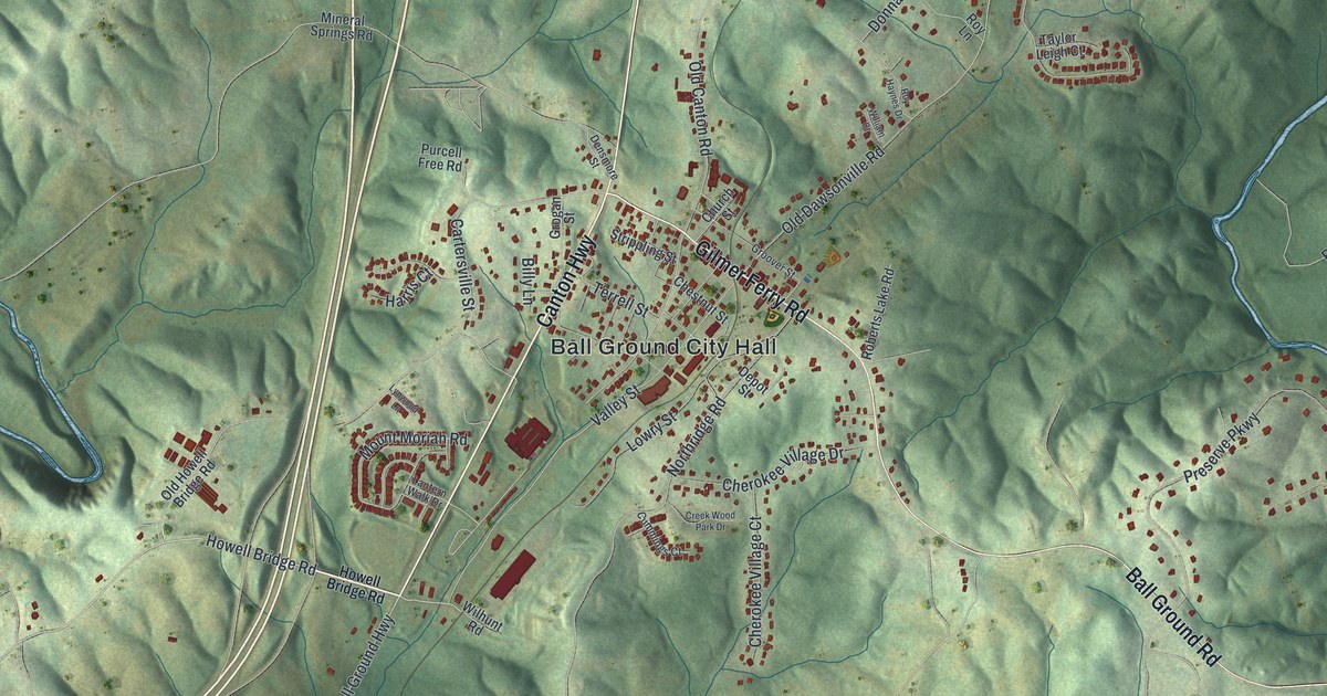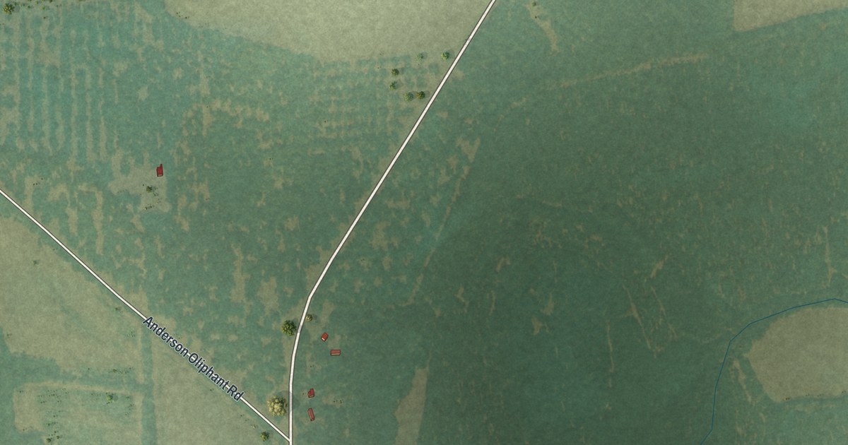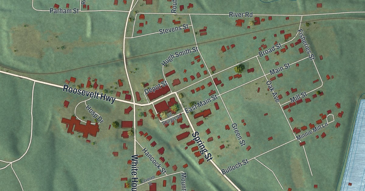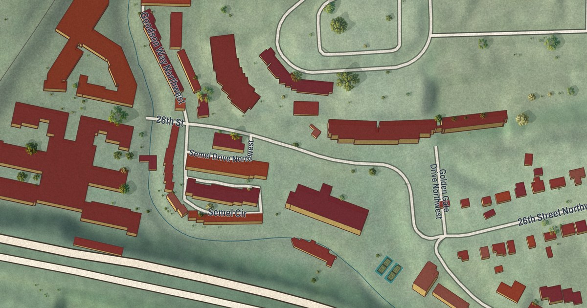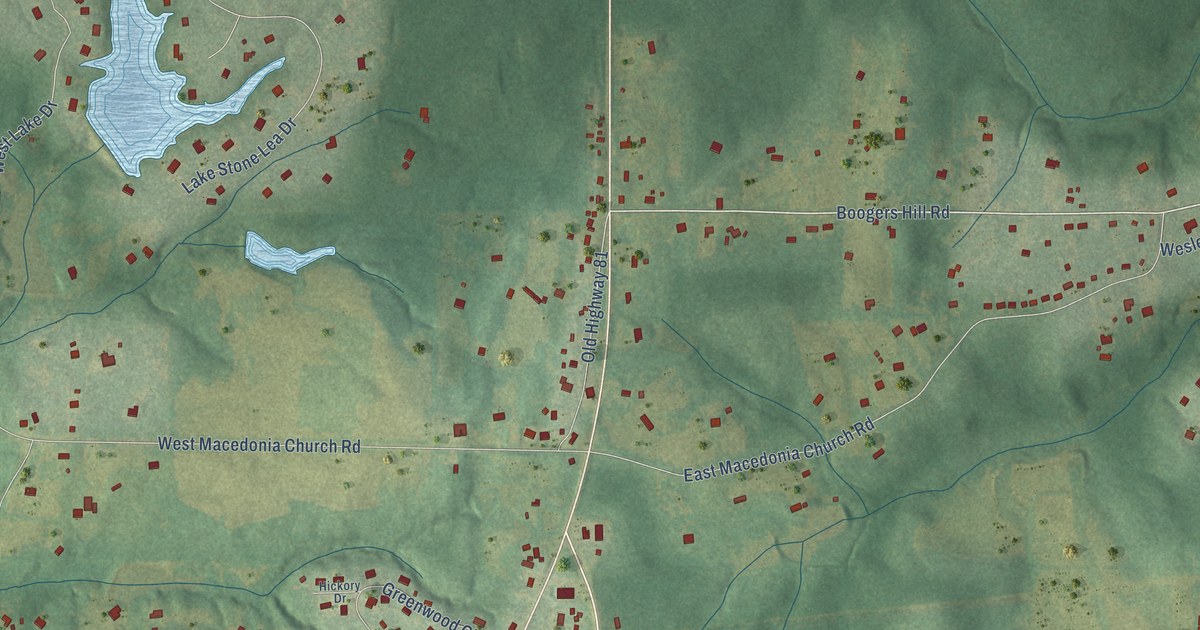
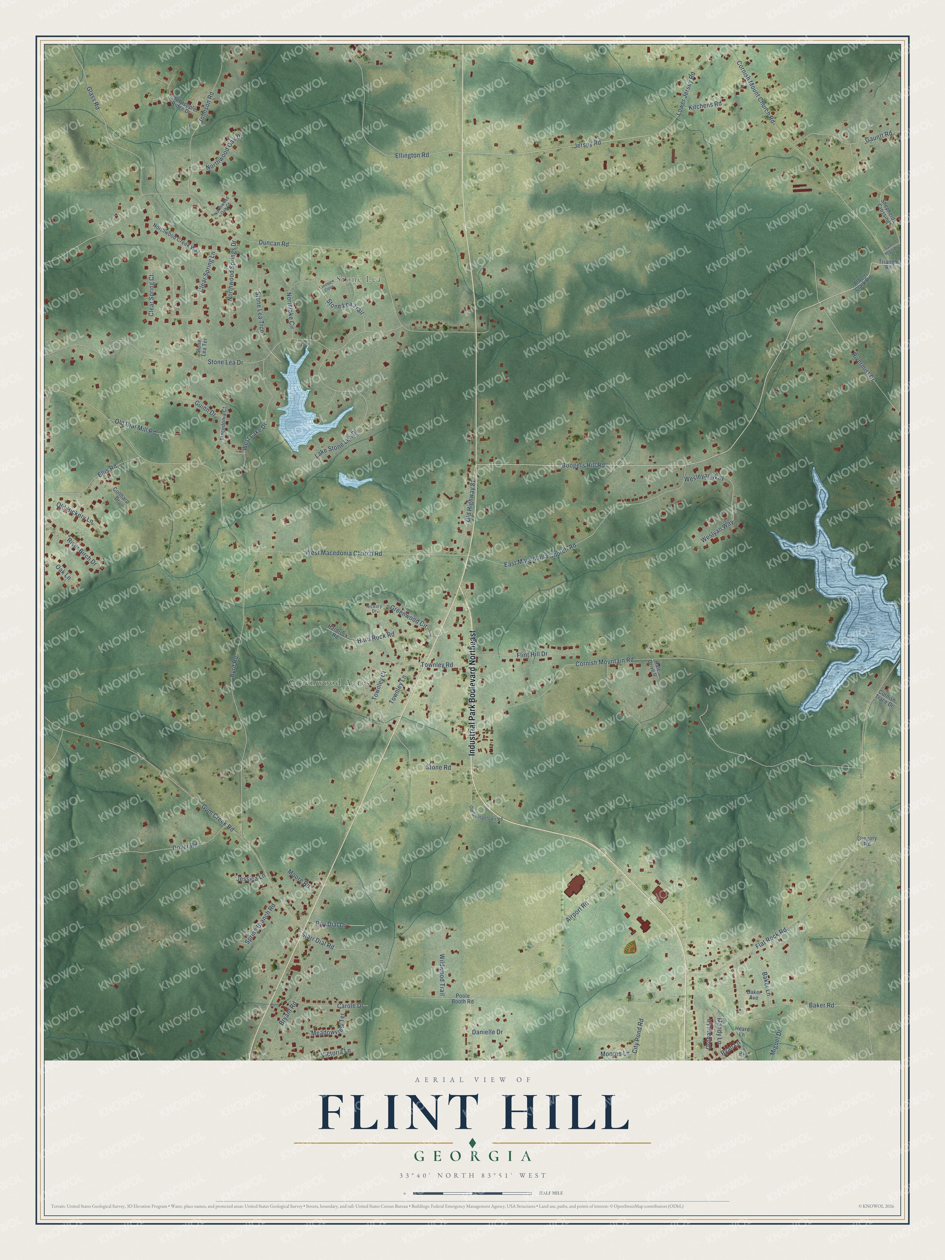
This beautifully detailed map of Flint Hill, Georgia was created in 2026 using aerial imagery combined with modern topographical, census, street and landmark data. It’s a one-of-a-kind view of Flint Hill that combines accurate data with a vintage aesthetic. The map shows every building in its true location, many of the roads carry their names, and the shaded topographic relief shows the shape of the land.
Explore an aerial view of Flint Hill, Georgia
On the map you’ll find Stone Lea and Greenwood Acres, along with Industrial Park Boulevard Northeast, Boogers Hill Road, Jersey Road, Duncan Road, West Macedonia Church Road, Flat Rock Road, Stone Lea Drive, Airport Road, Cornish Mountain Road, Gum Creek Road, and more. If you look closely you can even find your house accurately drawn in its correct location. Zoom in on the preview to look for yours.
Did You Know?
From Internet Archive: "The Norcross Methodist church was formerly known as Flint Hill, and was located a mile or so from Norcross."
Flint Hill is a community in Newton County.
Take a closer look at the Flint Hill map
Names on this map
These names are printed on this map.
Places: Stone Lea and Greenwood Acres.
Streets and roads: Industrial Park Boulevard Northeast, Boogers Hill Road, Jersey Road, Duncan Road, West Macedonia Church Road, Flat Rock Road, Stone Lea Drive, Airport Road, Cornish Mountain Road, Gum Creek Road, Byrd Road, Cornish Mount Church Road.
More street names, A to Z
Albert Clark Road, Baker Avenue, Baker Lane, Baker Road, Bryant Road, Carole Drive, City Pond Road, Clear Spring Court, Clear Spring Lane, Coltharp Drive, Cornish Trace Drive, Crabappple Ridge Drive, Danielle Drive, Dover Road, East Macedonia Church Road, Ellington Road, Ellis Road, Flint Hill Drive, Gauntt Road, Glass Road, Greenwood Circle, Gregory Road, Guinn Drive, Hale Drive II, Hard Rock Road, Hardrock Road, Heard Lane, Hickory Drive, Jessica Lane, Johnson Road, Kitchens Road, Lake Stone Lea Drive, Lakeview Close, Lower Jersey Road, Macedonia Court, Mandy Lane, Meadowview Terrace, Miguel Drive, Moore Road, Moores Lane, Northlake Circle, Northwood Creek Way, Northwood Oak Court, Northwood Oak Drive, Northwood Springs Drive, Oak Lane, Old Dial Mill Road, Old Georgetown Road, Old Hickory Lane, Old Highway 81, Orchard Lane, Poole Booth Road, Pratt Drive, River Birch Drive, Rivermist Drive, Roy Dial Drive, Ryan Lane, Saint Regis Drive, Shepherds Crossing, Spring Branch Road, Starr Dial Road, Stone Lea Terrace, Stone Lea Trail, Stone Lea Trce, Stone Road, Townley Court, Townley Lane, Townley Road, Triangle Road, Victoria Lane, Wesleyan Way, Weslyan Way, West Lake Drive, Wildwood Trail.
See it on a wall
The Flint Hill map as a framed print. Swipe for more.


This beautifully detailed map of Flint Hill makes an attractive addition to your office, library, or den, and it can even be used to teach children the geography and history of the area. It also makes a great gift for anyone who grew up in Flint Hill or moved away. When you’re done exploring, click here to get your copy of the Flint Hill map.