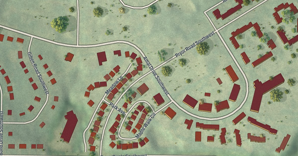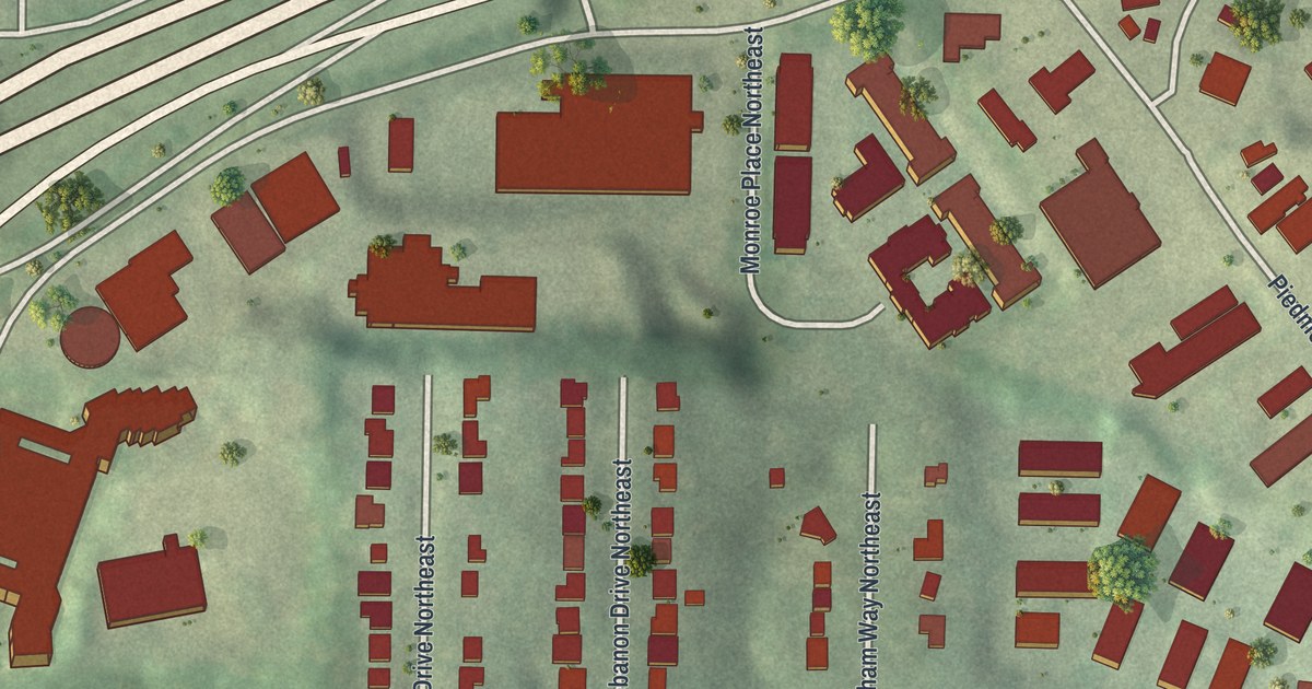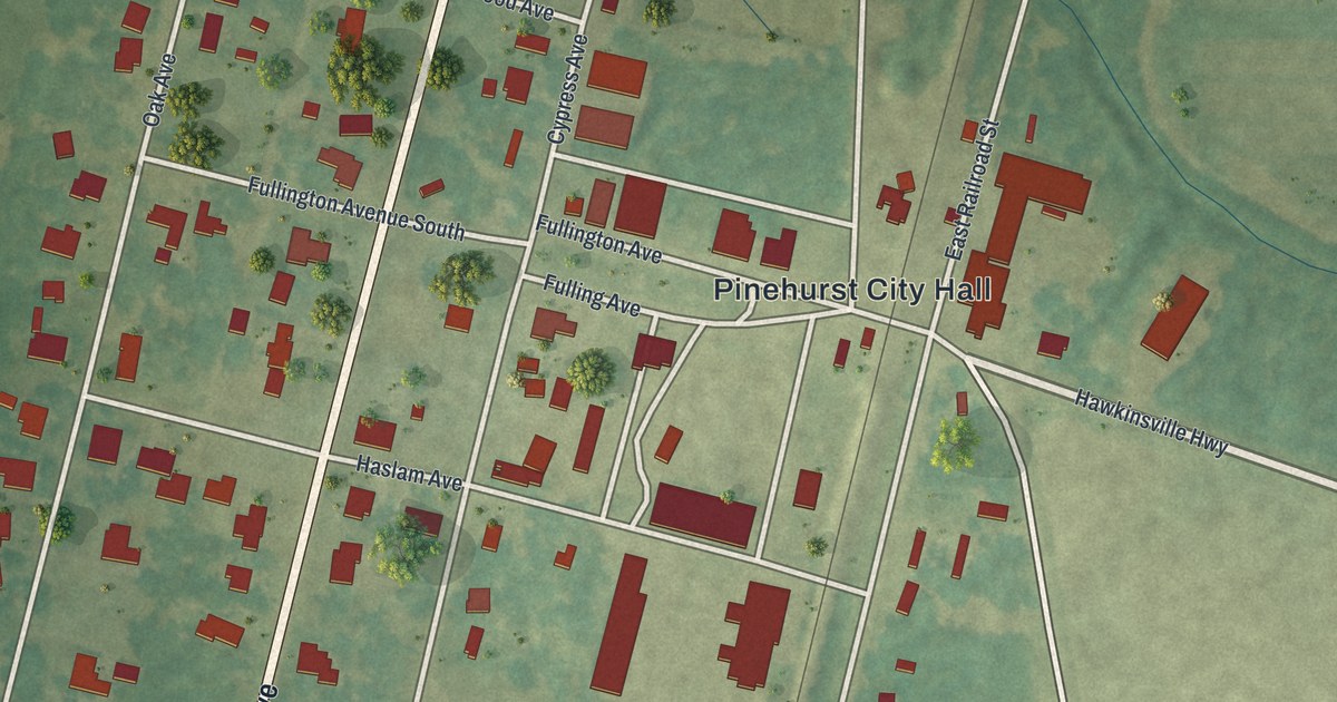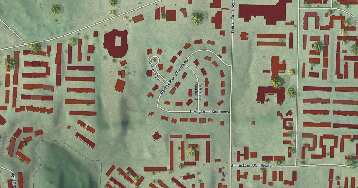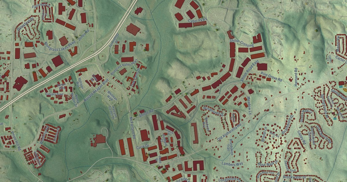
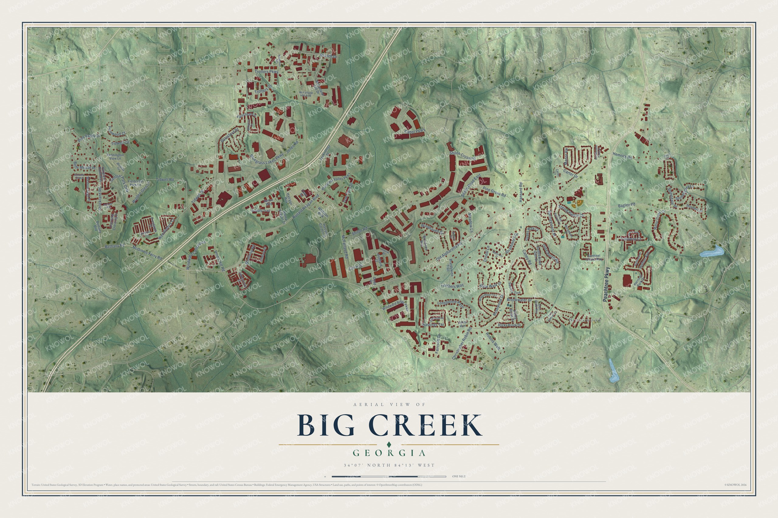
This beautifully detailed map of Big Creek, Georgia was created in 2026 using aerial imagery combined with modern topographical, census, street and landmark data. It’s a one-of-a-kind view of Big Creek that combines accurate data with a vintage aesthetic. The map shows every building in its true location, many of the roads carry their names, and the shaded topographic relief shows the shape of the land.
Explore an aerial view of Big Creek, Georgia
On the map you’ll find Brookwood, along with Peachtree Parkway, Bagley Road, Bethany Road, McGinnis Ferry Road, Old Alpharetta Road, Ronald Reagan Boulevard, McFarland Road, Shiloh Road, Union Hill Road, Caney Road, Christopher Robin Road, and more. If you look closely you can even find your house accurately drawn in its correct location. Zoom in on the preview to look for yours.
Did You Know?
From Internet Archive: "Rogers, Jr.. a prominent farmer of Housten county. reported this afternoon the finding of the body of an infant in Biz ereek. near Big Creek church, about ten miles south of Dothan."
Big Creek is a community in Forsyth County.
Take a closer look at the Big Creek map
Names on this map
These names are printed on this map.
Places: Brookwood.
Streets and roads: Peachtree Parkway, Bagley Road, Bethany Road, McGinnis Ferry Road, Old Alpharetta Road, Ronald Reagan Boulevard, McFarland Road, Shiloh Road, Union Hill Road, Caney Road, Christopher Robin Road, Tidwell Road.
More street names, A to Z
Anderson Road, Belle Meade Place, Bendleton Trce, Bethany Bnd, Bluegrass Lakes Parkway, Bluegrass Valley Parkway, Branch Drive, Brandywine Trail, Bristol Lane, Brookwater Drive, Cabot Parkway, Callaway Court, Carter Drive, Carter Lane, Central Park Ovlk, Chloe Road, Creekstone Point Drive, Cross Springs Drive, Curie Drive, Currie Drive, Dalesford Drive, Deerfield Crossing Drive, Dodd Drive, Estuary Trail, Faircrest Lane, Faircroft Drive, Fernwood Court, Fieldcrest Park Lane, Gentry Walk Court, Glen Glade Way, Goddard Court, Gold Creek Lane, Halcyon Garden Drive, Halcyon Way, Hansard Road, Hargrove Point Way, Harrison Park Drive, Hastings Terrace, Hemrick Road, Highfield Drive, Holton Avenue, Honor Run, Jamestown Drive, Jones Road, Lambets Way, Longpointe Pass, Manor Creek Court, Manor Vw, Marymount Drive, McFarland 400 Boulevard, McFarland 400 Drive, Meadow Lane, Miranda Terrace, Monticello Drive, Nancy Reagan Drive, Oak Farm Drive, Old Church Road, Pennington View Lane, Pine Grove Road, Pine Valley Drive, Plymouth Place, Prestwyck Court, Robins Walk, Rocky Brook Drive, Rose Walk Drive, Rosewood Drive, Rumney Way, Saddlebrook Glen Drive, Saint Andrews Court, Saxony Trce, Sentara Place, Sentinel Chase Way, Shiloh Crossing, Shiloh Road East, Sonoma Chase, Spring Harbor Drive, Springmonte Place, Stonegate Drive, Stonehill Drive, Stonevalley Lane, Strathmore Drive, Strickland Road, Technology Drive, Tidwell Circle, Tidwell Drive, Town Square, Trotters Drive, Trotters Parkway, Valley Brook Drive, Venue Way, Walden Glen Lane, Walters Circle, Wendlebury Court, Wesbourough Place, White Rose Trce, Whitman Walk, Windhaven Drive, Windward Concourse, Windward Ridge Parkway, Winshire Cv, Winthrop Road, Woodvine Way.
See it on a wall
The Big Creek map as a framed print. Swipe for more.


This beautifully detailed map of Big Creek makes an attractive addition to your office, library, or den, and it can even be used to teach children the geography and history of the area. It also makes a great gift for anyone with Big Creek roots. When you’re done exploring, click here to get your copy of the Big Creek map.