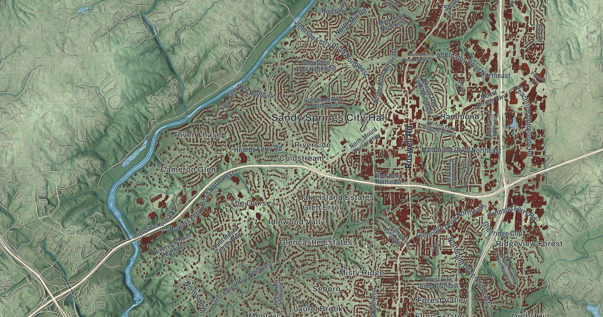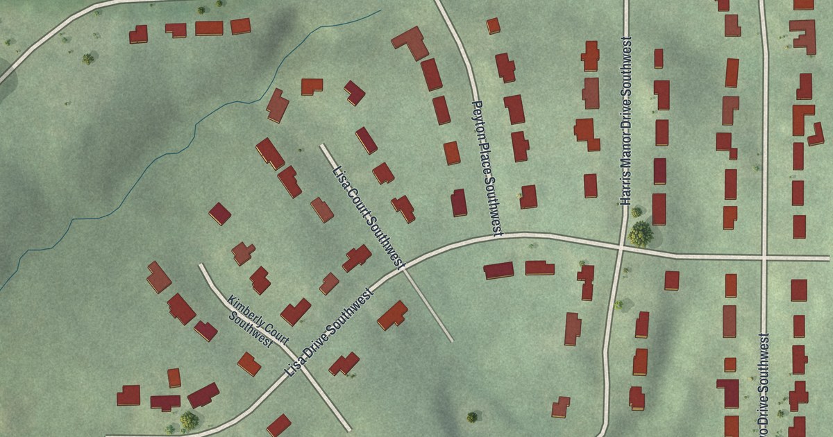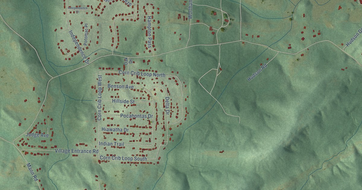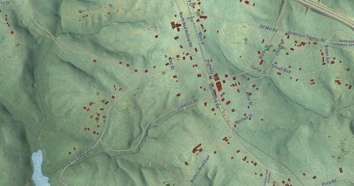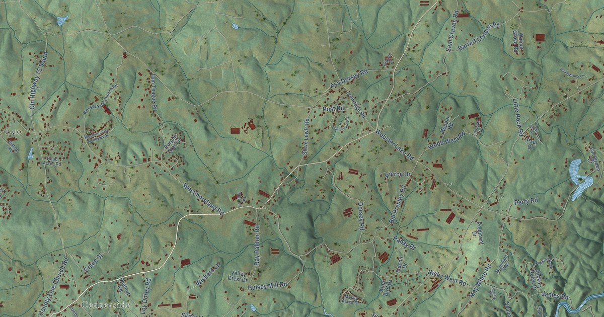
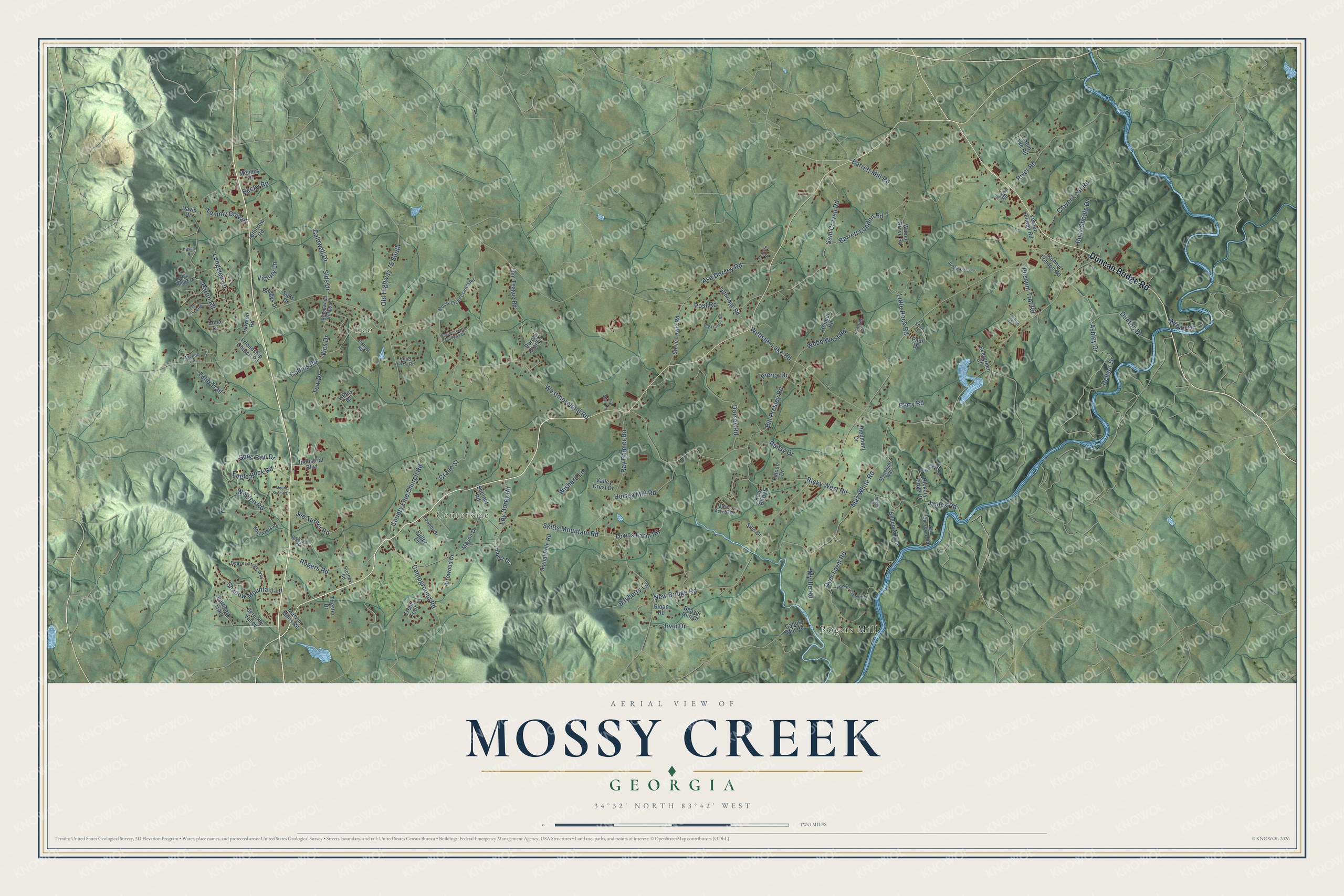
This beautifully detailed map of Mossy Creek, Georgia was created in 2026 using aerial imagery combined with modern topographical, census, street and landmark data. It’s a one-of-a-kind view of Mossy Creek that combines accurate data with a vintage aesthetic. The map shows every building in its true location, many of the roads carry their names, and the shaded topographic relief shows the shape of the land.
Explore an aerial view of Mossy Creek, Georgia
On the map you’ll find Centerside, Leo, and Rogers Mill, along with Duncan Bridge Road, Ashley Drive, New Bridge Road, Westmoreland Road, Webster Lake Road, Skitts Mountain Road, County Line Church Road, May White Road, Bill Presley Road, and more. If you look closely you can even find your house accurately drawn in its correct location. Zoom in on the preview to look for yours.
Did You Know?
From Internet Archive: "White learned his first lessons in a log schoolhouse at the summit of the Blue Ridge mountains and attended the Mossy Creek high school."
Mossy Creek is a community in White County.
Take a closer look at the Mossy Creek map
Names on this map
These names are printed on this map.
Places: Centerside, Leo and Rogers Mill.
Streets and roads: Duncan Bridge Road, Ashley Drive, New Bridge Road, Westmoreland Road, Webster Lake Road, Skitts Mountain Road, County Line Church Road, May White Road, Bill Presley Road, Sam Craven Road, Barrett Mill Road, Partin Road.
More street names, A to Z
Aardvark Trail, Arrowood Drive, Asa Dorsey Road, Barrett London Road, Bayberry Lane, Beaver Creek Way, Beaver Run Drive, Becky Road, Bishop Road, Bobbys Drive, Brookwood Village Lane, Brothers Road, Buck Shoals Drive, Cabin Lake Road, Caldwell Drive, Callus Mill Road, Campground Road, Clover Leaf Road, Collins Road, Cowboy Drive, Crane Street, Craven Place, Davis Drive, Dorsey Road, Dunton Drive, Dyer Farm Road, Eagle Rock Road, Edna Drive, Evergreen Court, Falcon Drive, Fowler Creek Drive, Friendship Church Road, Fuller Drive, Hellyer Drive, Hickory Ridge Drive, Hirschi Drive, Honeybrook Lane, Hood Acres Road, Hopper Road, Hulsey Mill Road, Industrial Boulevard, Irvin Drive, Jackson Road, James Road, Joe Turner Road, King Bird Drive, Lawson Road, Little Rock Road, Loggins Drive, Longview Drive, Lonnies Drive, Lothridge Road, Loy Dorey Road, Maple Ridge Drive, Marvin Miles Road, Mason Drive, Maypop Circle, Megan Drive, Memory Drive, Moonlight Way, Mossy Acres Drive, Mossy Creek Church Road, Mount Scenic Drive, Myrtle Road, Noel Ayers Road, Oak Ridge Drive, Old Cherokee Road, Old Highway 75 South, Pansy Drive, Paul Drive, Perry Road, Piedmont Drive, Pierce Drive, Pilgrim Road, Possum Trot Road, Post Circle Road, Post Road, Purple Star Lane, Ray Palmer Road, Ricky West Road, River Road, Rogers Road, Ronnie London Road, Sequoia Trce, Serenity Valley, Shadow Mountain Lane, Shelnut Road, Sid's Drive, Sids Drive, Signal Pole Road, Sills Drive, Sloan Road, Song Bird Drive, Steve Lewis Road, Stone Drive, The Pines Road, Thester Drive, Tin Man Lane, Tolbert Drive, Tomlin Drive, Tommy Cowart, Tom Teague Road, Totherow Road, Tow Drive, Towns Farm Road, Trent Trail, Tulip Trail, Valley Crest Drive, Valley Drive, Vernon London Road, Vics Drive, Victory Lane, Walnut Grove Road, Webb West Road, Westmoreland Meadows Drive, Wisherd Lane, Wooten Road.
See it on a wall
The Mossy Creek map as a framed print. Swipe for more.


This beautifully detailed map of Mossy Creek makes an attractive addition to your office, library, or den, and it can even be used to teach children the geography and history of the area. It also makes a great gift for anyone who grew up in Mossy Creek or moved away. When you’re done exploring, click here to get your copy of the Mossy Creek map.