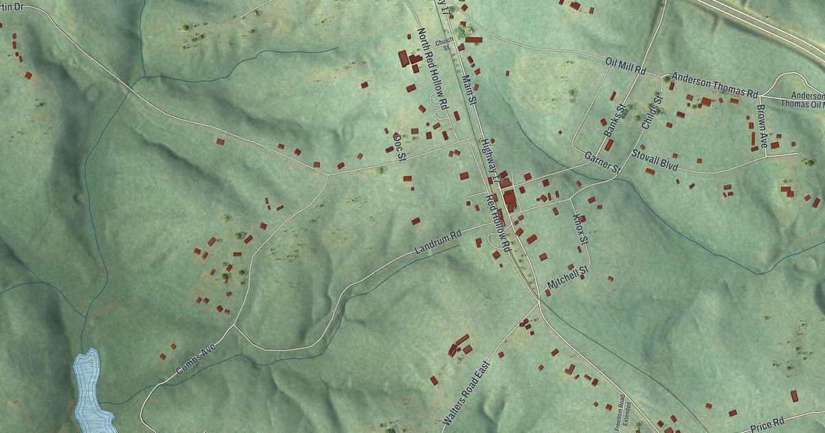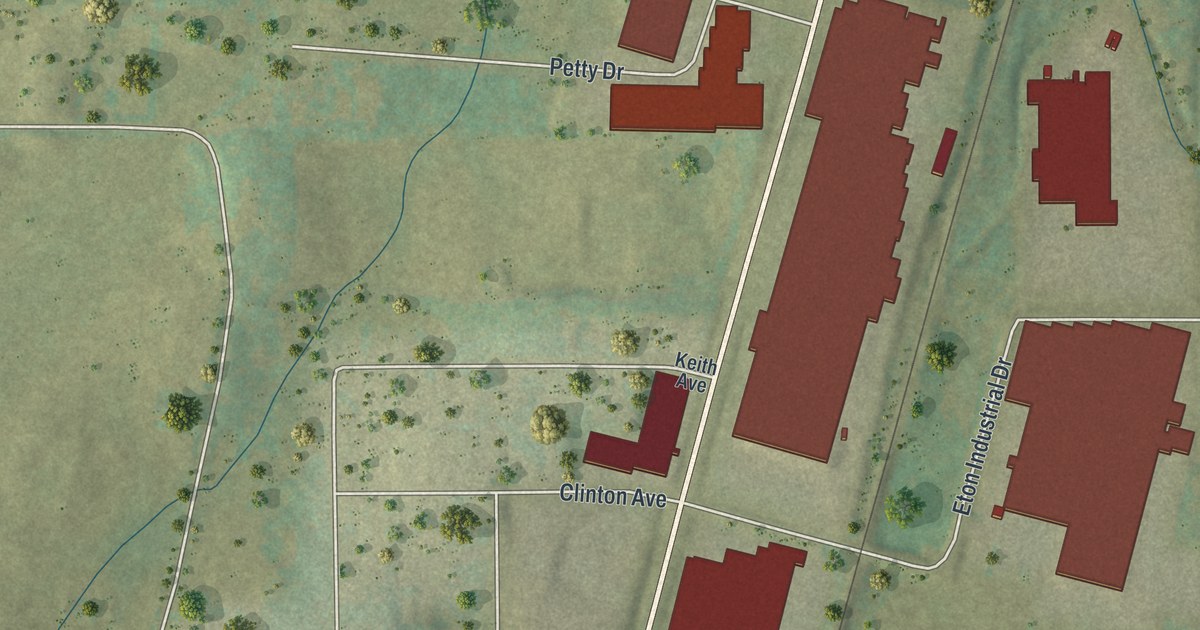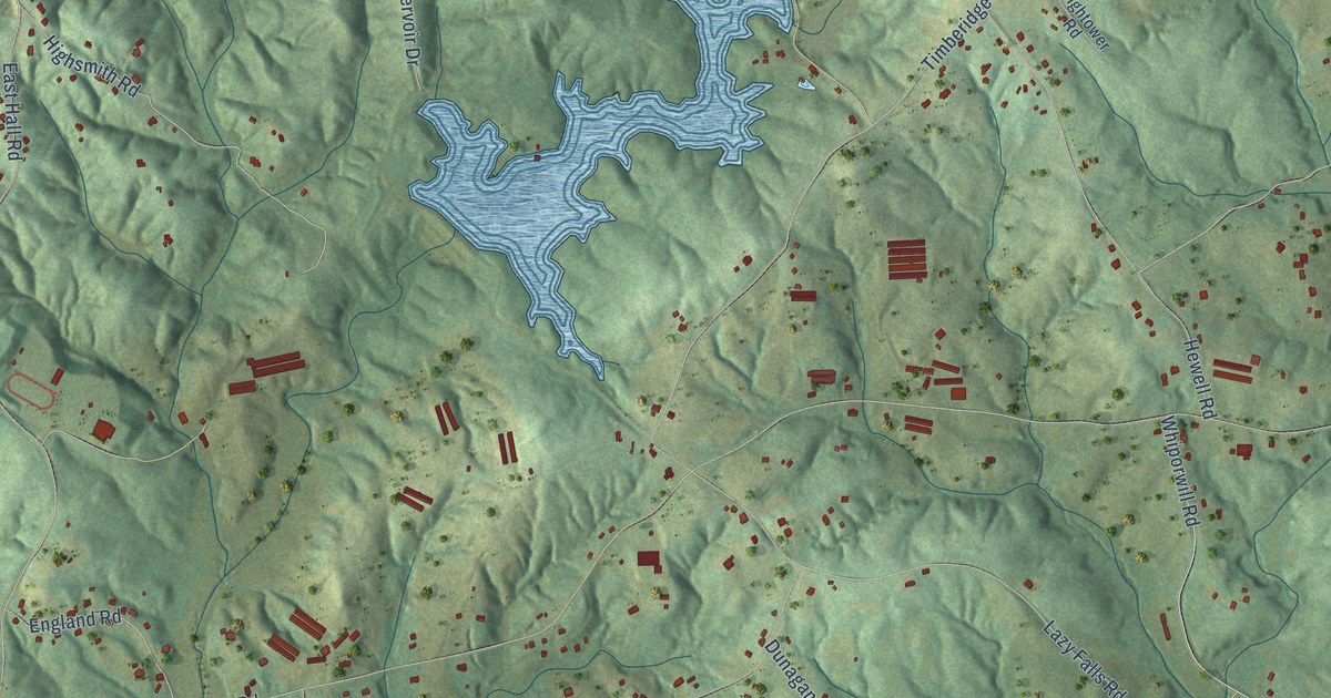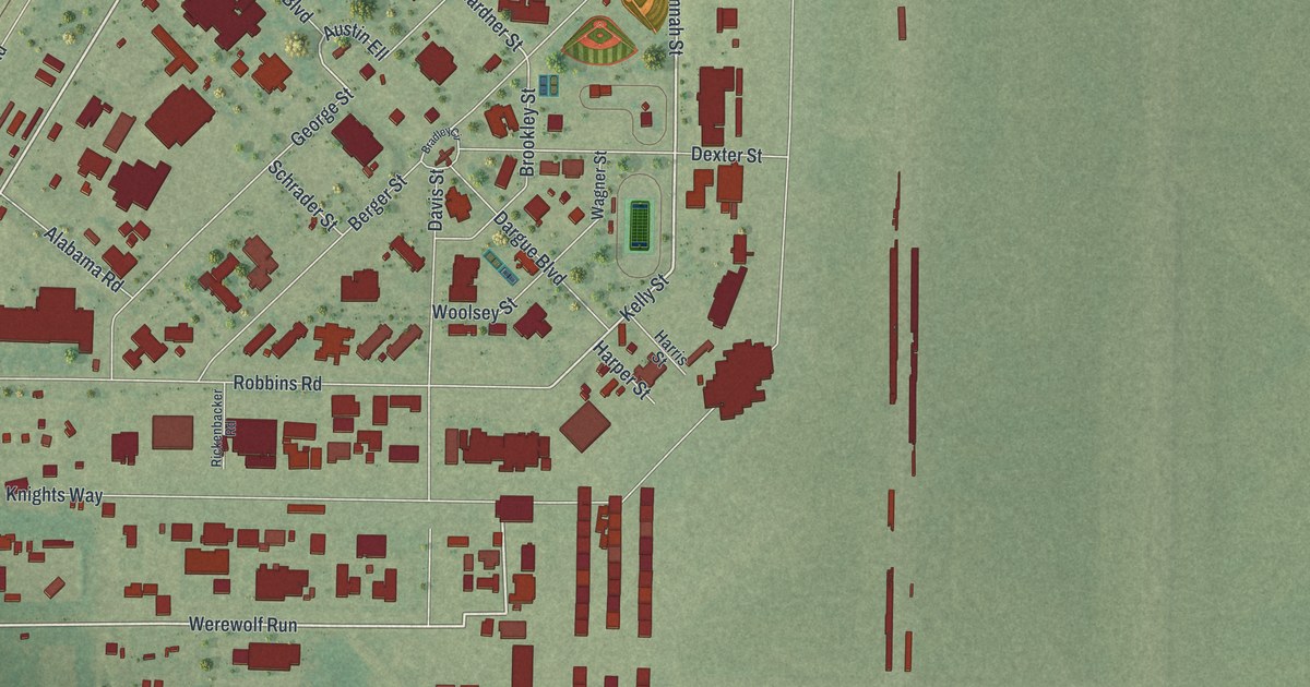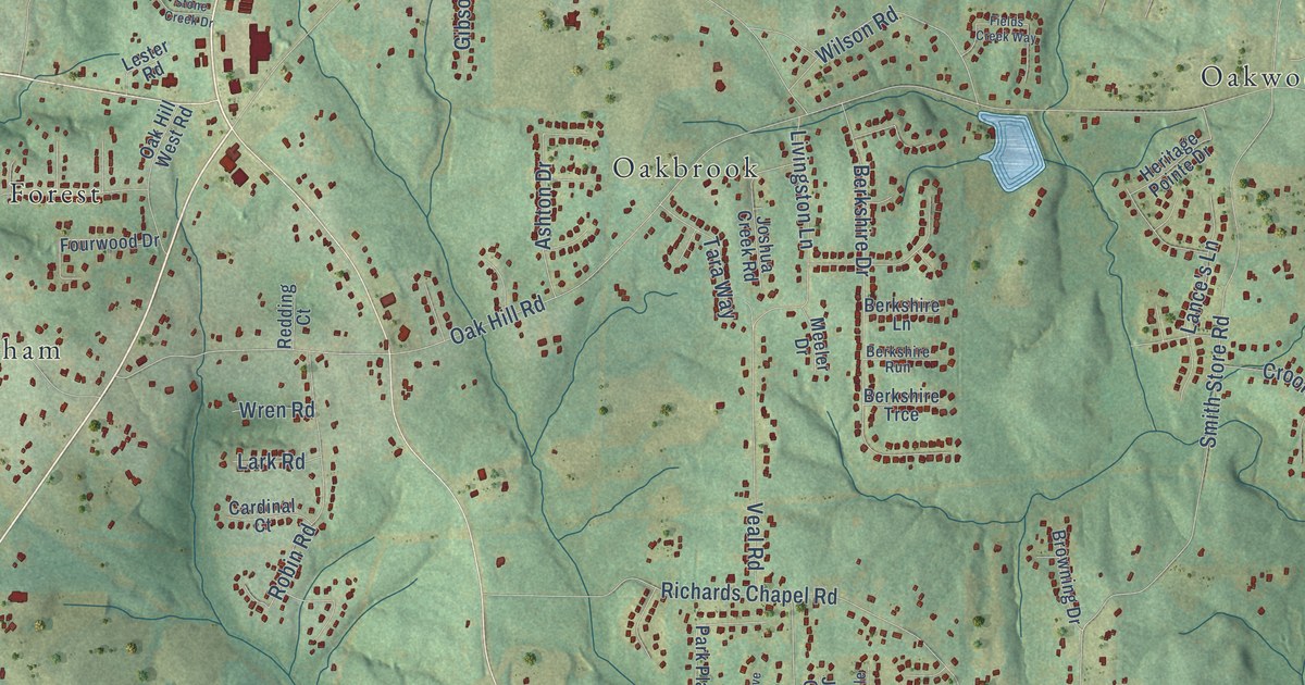
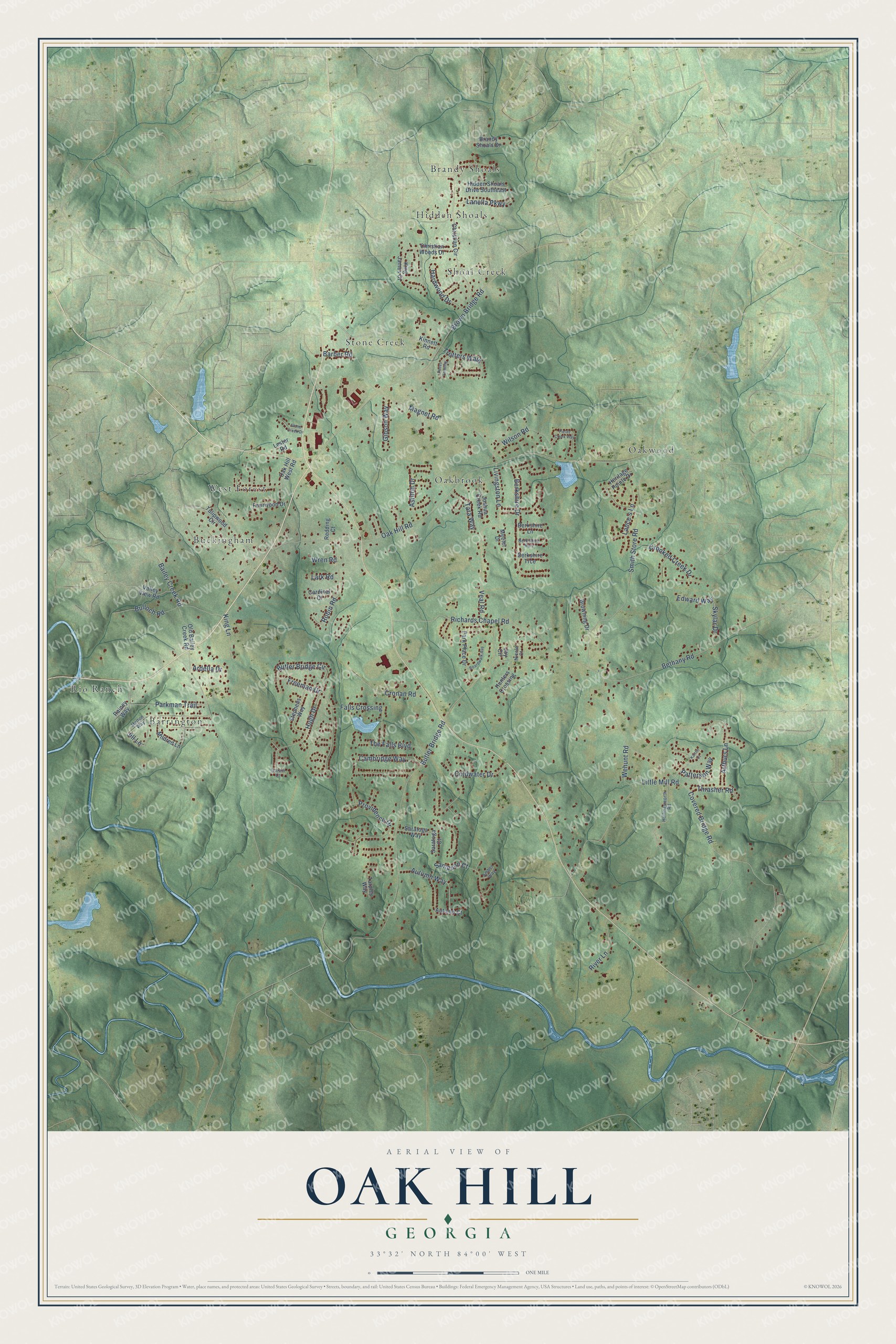
This beautifully detailed map of Oak Hill, Georgia was created in 2026 using aerial imagery combined with modern topographical, census, street and landmark data. It’s a one-of-a-kind view of Oak Hill that combines accurate data with a vintage aesthetic. The map shows every building in its true location, many of the roads carry their names, and the shaded topographic relief shows the shape of the land.
Explore an aerial view of Oak Hill, Georgia
On the map you’ll find West Forest, Brandy Shoals, Rio Ranch, Oakwood, Stone Creek, Oakbrook, Shoal Creek, Buckingham, Barrington, and Hidden Shoals, along with Brown Bridge Road, Butler Bridge Road, and more. If you look closely you can even find your house accurately drawn in its correct location. Zoom in on the preview to look for yours.
Did You Know?
From Internet Archive: "In 1850, when Colonel Traynham was a lad of five years, his parents removed from South Carolina to Georgia and settled in the Oak Hill District, near Covington, Newton County, whence they later removed to DeKalb County."
Oak Hill is a community in Newton County.
Take a closer look at the Oak Hill map
Names on this map
These names are printed on this map.
Places: West Forest, Brandy Shoals, Rio Ranch, Oakwood, Stone Creek, Oakbrook, Shoal Creek, Buckingham, Barrington and Hidden Shoals.
Streets and roads: Brown Bridge Road, Butler Bridge Road, Covered Bridge Road, Oak Hill Road, Bethany Road, Smith Store Road, Wehunt Road, Richards Chapel Road, Arthurs Lane, Magnet Road, Veal Road, Berkshire Drive.
More street names, A to Z
Amber Way, Ardella Drive, Ashton Drive, Autumn Court, Autumn Way, Bailey Creek Road, Barber Road, Berkshire Lane, Berkshire Run, Berkshire Trce, Boardwalk Avenue, Brandy Shoals Drive, Browning Drive, Bulloch Road, Butler Bridge Circle, Cambridge Way, Cardinal Court, Christian Circle, Christian Woods Drive, Coldwater Drive, Cronan Road, Crooked Creek Drive, Darvin Court, Edward Way, Falls Crossing, Fields Creek Way, Fourwood Drive, Freeman Drive, Gibson Way, Hardwood Drive, Heritage Pointe Drive, Hidden Shoals Drive Southeast, Hollingsworth Road, Hugh Drive, Hunters Crossing, Jill Lane, Joshua Creek Road, Joy Circle, Kaitlin Court, King James Court, King Lane, Kinnett Road, Lance's Lane, Lanella Parkway, Lark Road, Lester Road, Little Mill Road, Livingston Lane, Meeler Drive, Melton Way, Mildred Lane, Nicole Court, Oak Hill West Road, Old Bailey Creek Road, Paces Landing, Parkman Trail, Park Place Drive, Patterson Way, Providence Drive, Rainey Way, Redding Court, River Lane, Robin Road, Sampson Court, Saratoga Court, Saratoga Way, Skylar Drive, Stephens Way, Stone Creek Drive, Tara Way, Tarpley Way, The Falls Boulevard, Thrasher Road, Trotters Walk, Tulipwood Circle, Valley View Road, Wilson Road, Wren Road.
See it on a wall
The Oak Hill map as a framed print. Swipe for more.


This beautifully detailed map of Oak Hill makes an attractive addition to your office, library, or den, and it can even be used to teach children the geography and history of the area. It also makes a great gift for anyone with Oak Hill roots. When you’re done exploring, click here to get your copy of the Oak Hill map.