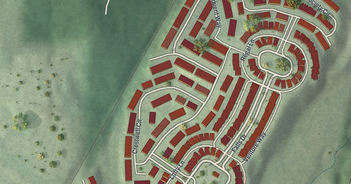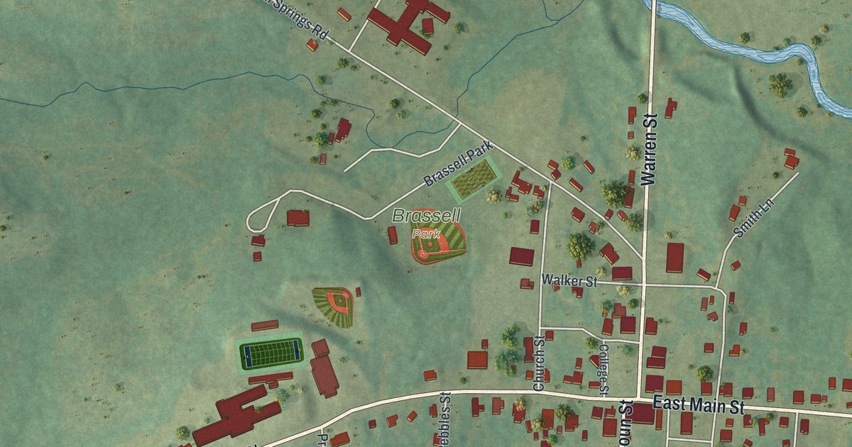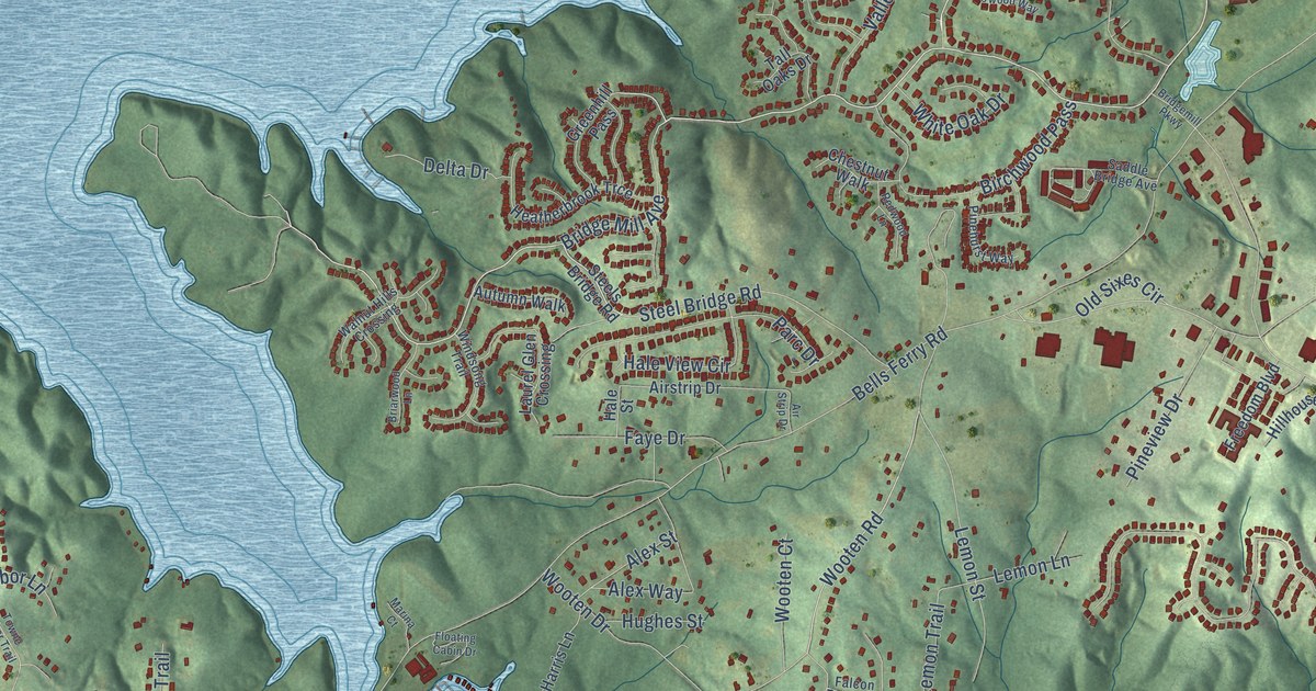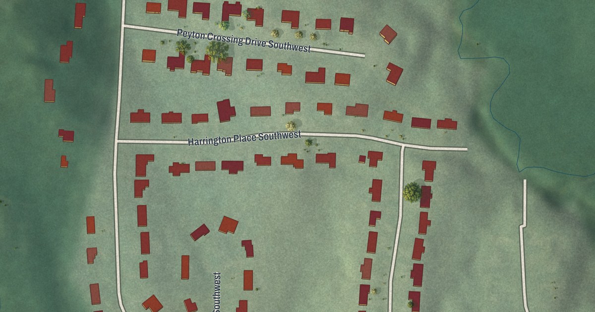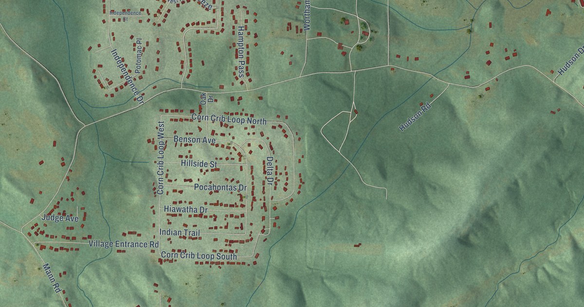
This beautifully detailed map of Winston, Georgia was created in 2026 using aerial imagery combined with modern topographical, census, street and landmark data. It’s a one-of-a-kind view of Winston that combines accurate data with a vintage aesthetic. The map shows every building in its true location, many of the roads carry their names, and the shaded topographic relief shows the shape of the land.
Explore an aerial view of Winston, Georgia
On the map you’ll find White City, along with Bankhead Highway, High Point Road, Corn Crib Loop West, Jason Ind Parkway, Cedar Mountain Road, Mann Road, Richardson Road, Mattie McCoy Lane, Campground Road, Wortham Road, East Winston Road, and more. If you look closely you can even find your house accurately drawn in its correct location. Zoom in on the preview to look for yours.
Did You Know?
From Internet Archive: "Pickard and Miss who sailed the have been traveling In nee, ahd expect to jand before Dorothy Krauss leaves September 1 to enttr school at Winston- Salem, N.C."
Winston is a community in Douglas County.
Take a closer look at the Winston map
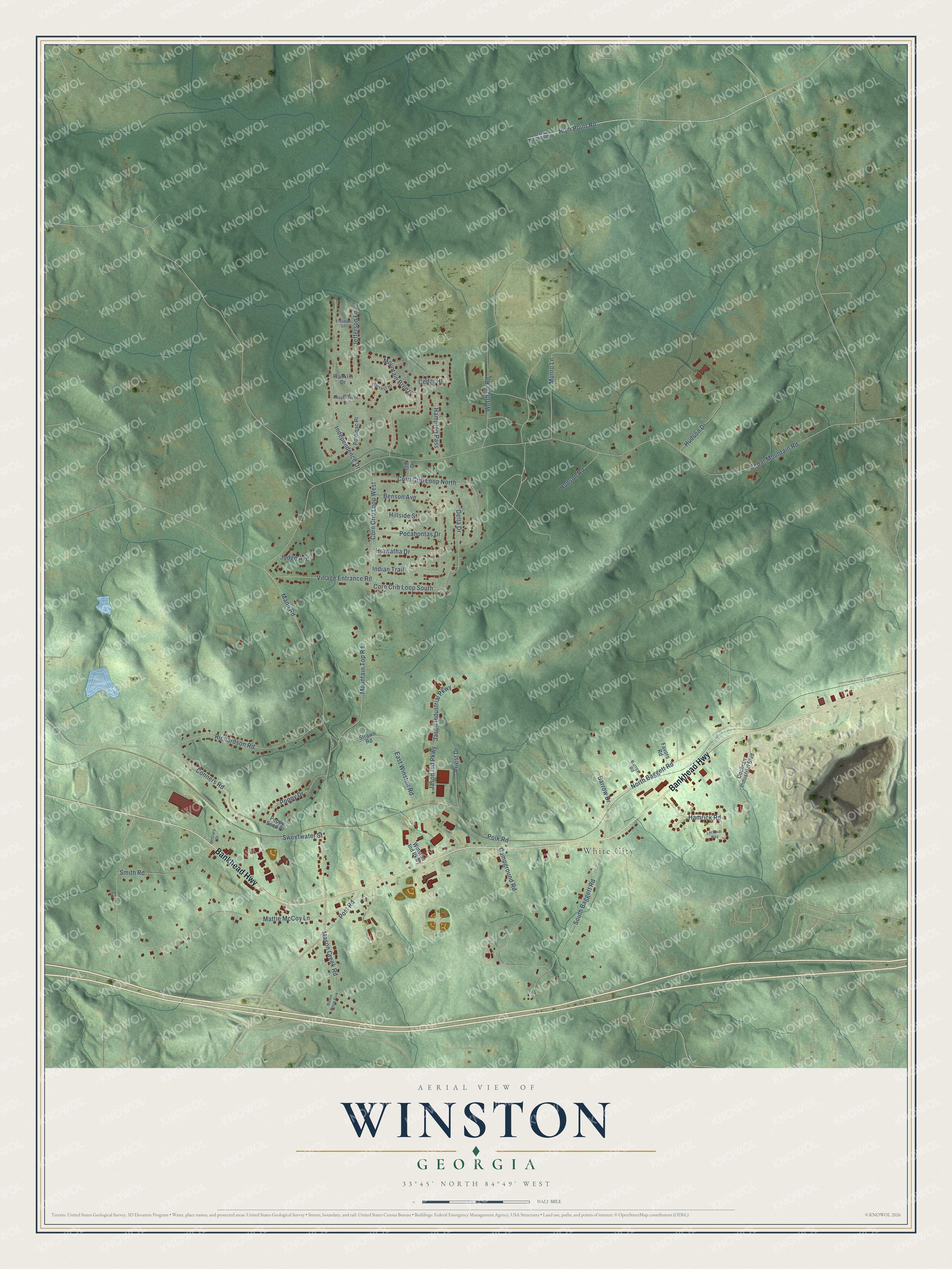
Names on this map
These names are printed on this map.
Places: White City.
Streets and roads: Bankhead Highway, High Point Road, Corn Crib Loop West, Jason Ind Parkway, Cedar Mountain Road, Mann Road, Richardson Road, Mattie McCoy Lane, Campground Road, Wortham Road, East Winston Road, North Baggett Road.
More street names, A to Z
Barrow Drive, Barrow Road, Benson Avenue, Cedar Hl, Cochran Industrial Boulevard, Conners Road, Corn Crib Loop North, Corn Crib Loop South, Delta Drive, Favors Road, Franklin Drive, Freedom Lane, Hampton Pass, Hamrick Road, Harvest Hl, Hiawatha Drive, Hillside Street, Hudson Drive, Hudson Road, Independence Court, Independence Drive, Indian Trail, Jack Meadows Road, Jason Industrial Parkway, Jefferson Lane, Judge Avenue, Locklear Way, Mason Creek Fork, Mason Creek Road, McCrary Drive, Mountain Breeze, Mountain Top Road, Munro Lane, Oak Drive, Pocahontas Drive, Polk Road, Poppy Drive, Poppy Seed Place, Post Road, Potomac Place, Priest Drive, Smith Road, South Baggett Road, Strawn Road, Sweetwater Street, Village Entrance Road, Winston Ind Parkway.
See it on a wall
The Winston map as a framed print. Swipe for more.


This beautifully detailed map of Winston makes an attractive addition to your office, library, or den, and it can even be used to teach children the geography and history of the area. It also makes a great gift for anyone who grew up in Winston or moved away. When you’re done exploring, click here to get your copy of the Winston map.