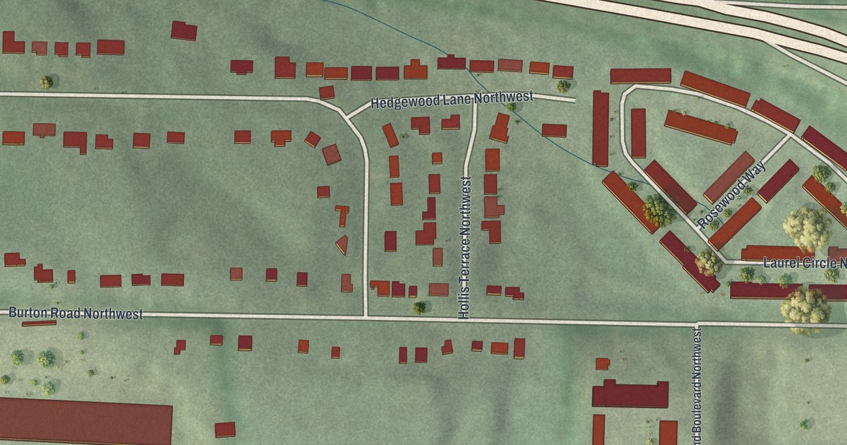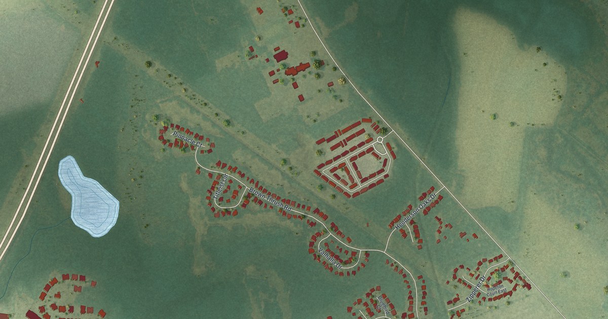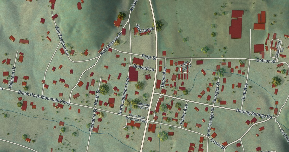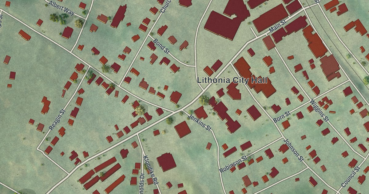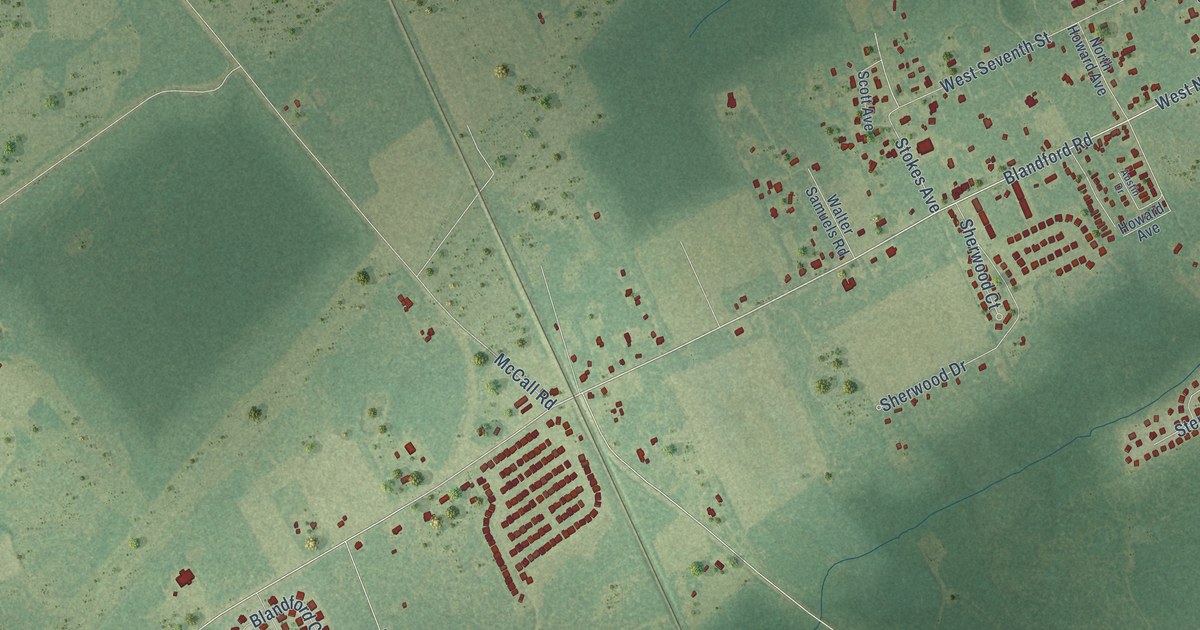
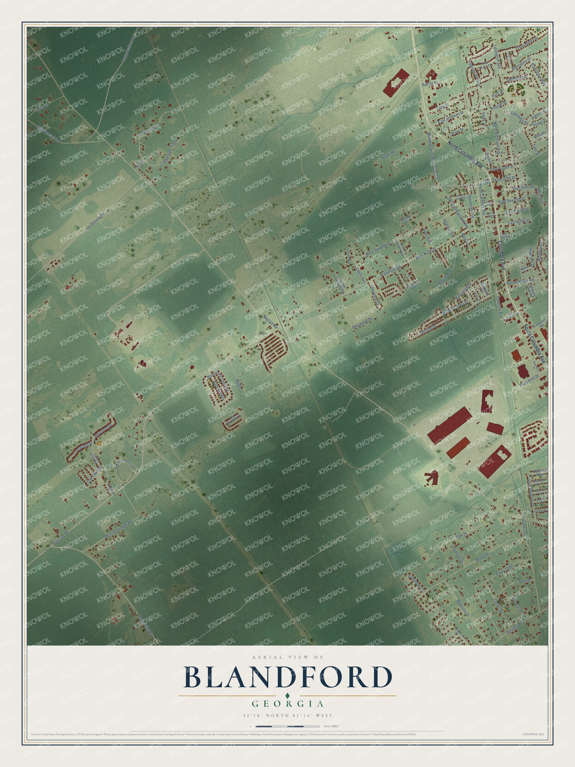
This beautifully detailed map of Blandford, Georgia was created in 2026 using aerial imagery combined with modern topographical, census, street and landmark data. It’s a one-of-a-kind view of Blandford that combines accurate data with a vintage aesthetic. The map shows every building in its true location, many of the roads carry their names, and the shaded topographic relief shows the shape of the land.
Explore an aerial view of Blandford, Georgia
On the map you’ll find Rincon Town Hall, Rincon, Freedom Park, and McComber Park, along with Columbia Avenue, South Columbia Avenue, North Columbia Avenue, Middleground Road, East Johnson Street, Old Middleground Road, Carolina Avenue, North Carolina Avenue, and more. If you look closely you can even find your house accurately drawn in its correct location. Zoom in on the preview to look for yours.
Did You Know?
From Internet Archive: "In 1733 the vestrymen of Bristol parish met, on May 4, at the house of Thomas Hardaway, and agreed to build the brick church at Well's Hill, now known as the Blandford Church, at Petersburg."
Blandford is a community in Effingham County.
Take a closer look at the Blandford map
Names on this map
These names are printed on this map.
Places: Rincon Town Hall, Rincon, Freedom Park and McComber Park.
Streets and roads: Columbia Avenue, South Columbia Avenue, North Columbia Avenue, Middleground Road, East Johnson Street, Old Middleground Road, Carolina Avenue, North Carolina Avenue, Blandford Road, Blue Jay Road, Long Street, East Fourth Street.
More street names, A to Z
Anza Lane, Aquaduct Drive, Atlantic Avenue, Austin Drive, Barksdale Drive, Big Cypress Court, Blandford Crossing, Blandford Way, Brentwood Drive, Broome Lane, Byrd Street, Center Drive, Centerwood Court, Crooked Oaks Drive, Crosswinds Drive, Dogwood Drive, East Eighth Street, East Fifth Street, East Ninth Street, East Seventh Street, East Sixth Street, East Tenth Street, Exley Loop, Exley Street, Fellwood Drive, Four Oaks Court, Ft Howard Road, Giles Avenue, Golden Drive, Goshen Road, Greene Drive, Hardy Road, Hodgeville Road, Howard Avenue, Jaudan Street, Kessler Street, Lexington Avenue, Little McCall Road, Lord Effingham Drive, Low Ground Road, Madison Oaks Drive, Magnolia Drive, Maple Drive, McCall Road, Melrose Place, Middleton Drive, Mulberry Way, Myrtle Street, North Howard Avenue, North Lane, North Richland Avenue, Oak Lawn Drive, Oaklawn Drive, Oak Street, Old Highway No 21, Ottis Seckinger Road, Paddleford Court, Paddleford Drive, Park Place, Patriot Drive, Pine Drive, Pineland Drive, Pittman Drive, Plantation Drive, Plantation Way, Proposed Stafford Place, Prosperity Drive, Rahn Station Road, Redgate Trail Pk, Sanders Street, Santa Anita Way, Saratoga Drive, Savannah Avenue, Scott Avenue, Seventh Street, Shaw Street, Sherwood Court, Sherwood Drive, Smith Avenue, Smithfield Drive, Sterling Drive, Stokes Avenue, Talmadge Drive, Talmage Street, Timbergate Drive, Timbergate Lane, Timbergate Trail, Tyler Street, Walter Samuels Road, Weisenbaker Road, West Eighth Street, West Fifth Street, West Ninth Street, West Seventeenth Street, West Seventh Street, West Sixth Street, Westwood Drive, Whitehall Avenue, Williams Street, Woodbury Lane, Zitterour Drive.
See it on a wall
The Blandford map as a framed print. Swipe for more.


This beautifully detailed map of Blandford makes an attractive addition to your office, library, or den, and it can even be used to teach children the geography and history of the area. It also makes a great gift for anyone with Blandford roots. When you’re done exploring, click here to get your copy of the Blandford map.