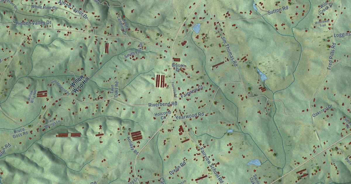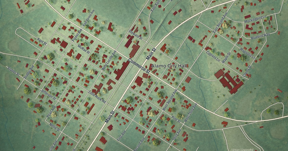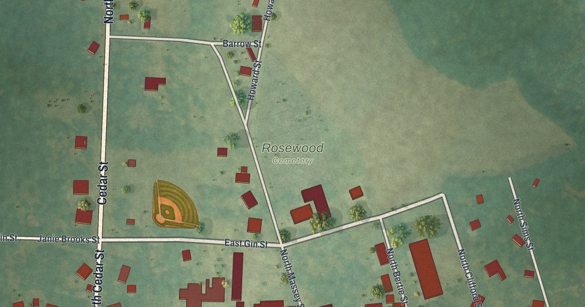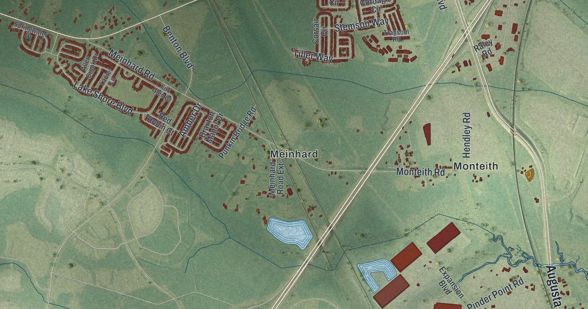
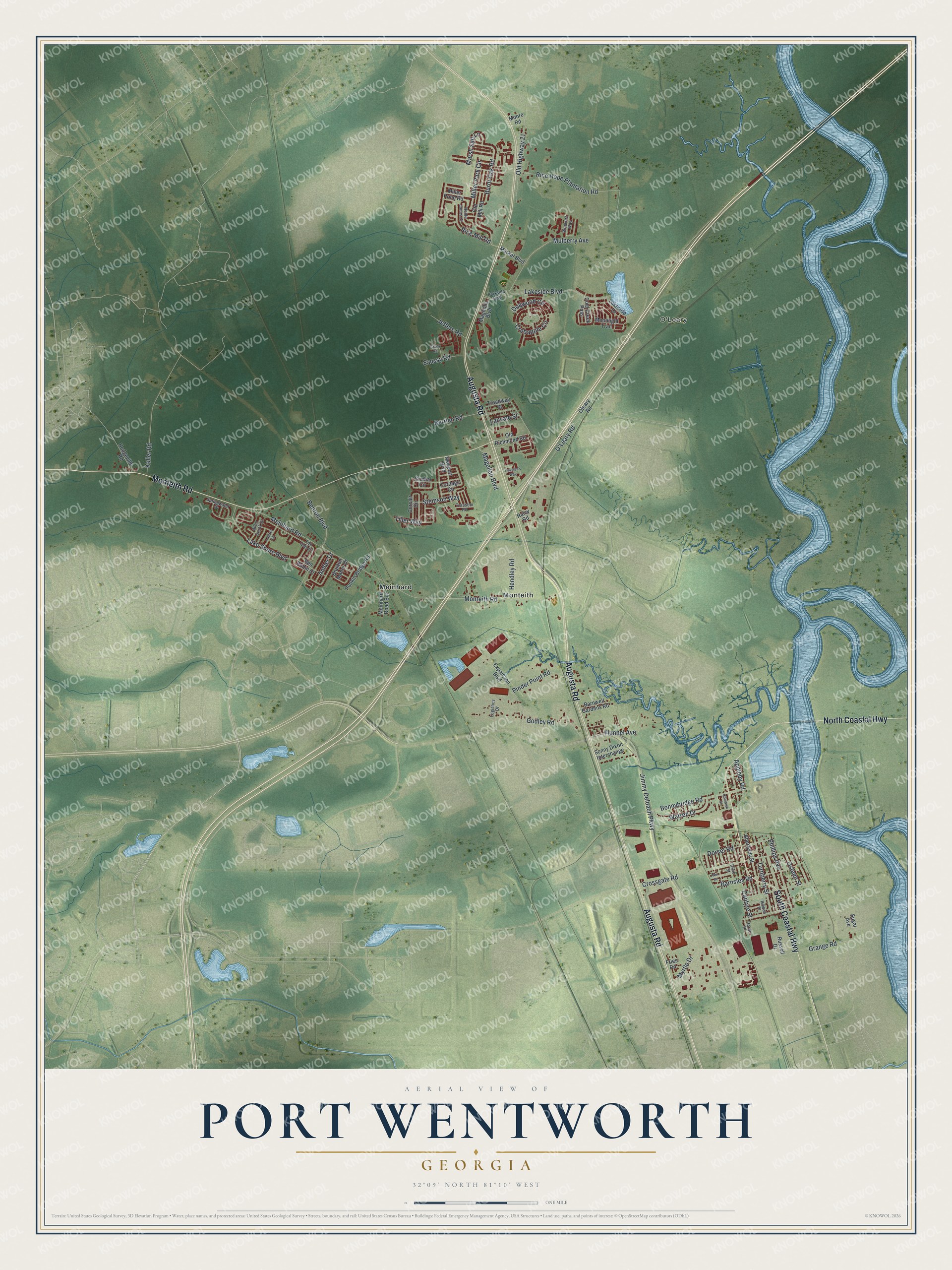
This beautifully detailed map of Port Wentworth, Georgia was created in 2026 using aerial imagery combined with modern topographical, census, street and landmark data. It’s a one-of-a-kind view of Port Wentworth that combines accurate data with a vintage aesthetic. The map shows every building in its true location, many of the roads carry their names, and the shaded topographic relief shows the shape of the land.
Explore an aerial view of Port Wentworth, Georgia
On the map you’ll find O’Leary, Meinhard, and Monteith, along with Augusta Road, Coastal Highway, Monteith Road, Lakeside Boulevard, Crossgate Road, and more. If you look closely you can even find your house accurately drawn in its correct location. Zoom in on the preview to look for yours.
Did You Know?
The Dixie Crystal sugar refinery opened in Port Wentworth in 1917. It was built by 400 workers brought from Louisiana and became the town’s main employer. On February 7, 2008, a sugar dust explosion there killed fourteen people. The company kept paying its 371 workers and began rebuilding that April.
Take a closer look at the Port Wentworth map
Names on this map
These names are printed on this map.
Places: O'Leary, Meinhard and Monteith.
Streets and roads: Augusta Road, North Coastal Highway, Monteith Road, South Coastal Highway, Lakeside Boulevard, Crossgate Road, Jimmy Deloach Parkway, Meinhard Road, Grange Road, Bonnybridge Road, Rice Hope Plantation Road, O'Leary Road.
More street names, A to Z
Aberfeldy Street, Akin Drive, Allen Brook Drive, Amber Drive, Appleby Road, Barnsley Road, Barnwell Gardens Road, Benton Boulevard, Berrien Road, Braxton Manor Drive, Burnt Oak Road, Cantyre Street, Chiswick Street, Cold Creek Pass, Cordage Circle, Corsair Circle, Crabapple Circle, Dixie Street, Dogwood Circle, Dorset Road, Expansion Boulevard, Flonnel Avenue, Fox Glen Court, Fries Road, Gimbal Circle, Godley Road, Grant Road, Hendley Road, Hodgeville Road, Horne Place, Jeffers Road, Keller Road, Lake Shore Boulevard, Lakeside Drive, Lanvale Street, Laurel Lane, Logistics Drive, Magellan Boulevard, Magnolia Boulevard, Market Boulevard, Marsh Salt Lane, Meinhard Road Extension, Miller Park Circle, Miller Pond Road, Moonlight Trail, Moore Road, Mulberry Avenue, Myrtle Drive, Newport Boulevard, Noble Jones Court, Old Highway 21, Old Mill Road, Old Richmond Road, Oleary Road, Osteen Street, Parkside Boulevard, Phillips Avenue, Pinder Point Road, Punkin Bridge Road, Raley Road, Red Robin Court, Rice Mill Road, Rowan Place, Russell Drive, Saussy Road, Sonny Dixon Interchange, Springwater Drive, Stemson Way, Sugar Avenue, Tiller Way, Transom Road, Traveler's Way, Treadway Street, Turnberry Street, Warren Drive, Weavers Way.
See it on a wall
The Port Wentworth map as a framed print. Swipe for more.


This beautifully detailed map of Port Wentworth makes an attractive addition to your office, library, or den, and it can even be used to teach children the geography and history of the area. It also makes a great gift for anyone with Port Wentworth roots. When you’re done exploring, click here to get your copy of the Port Wentworth map.