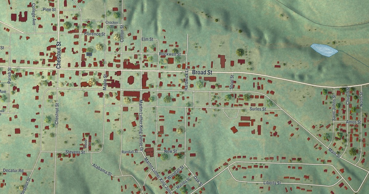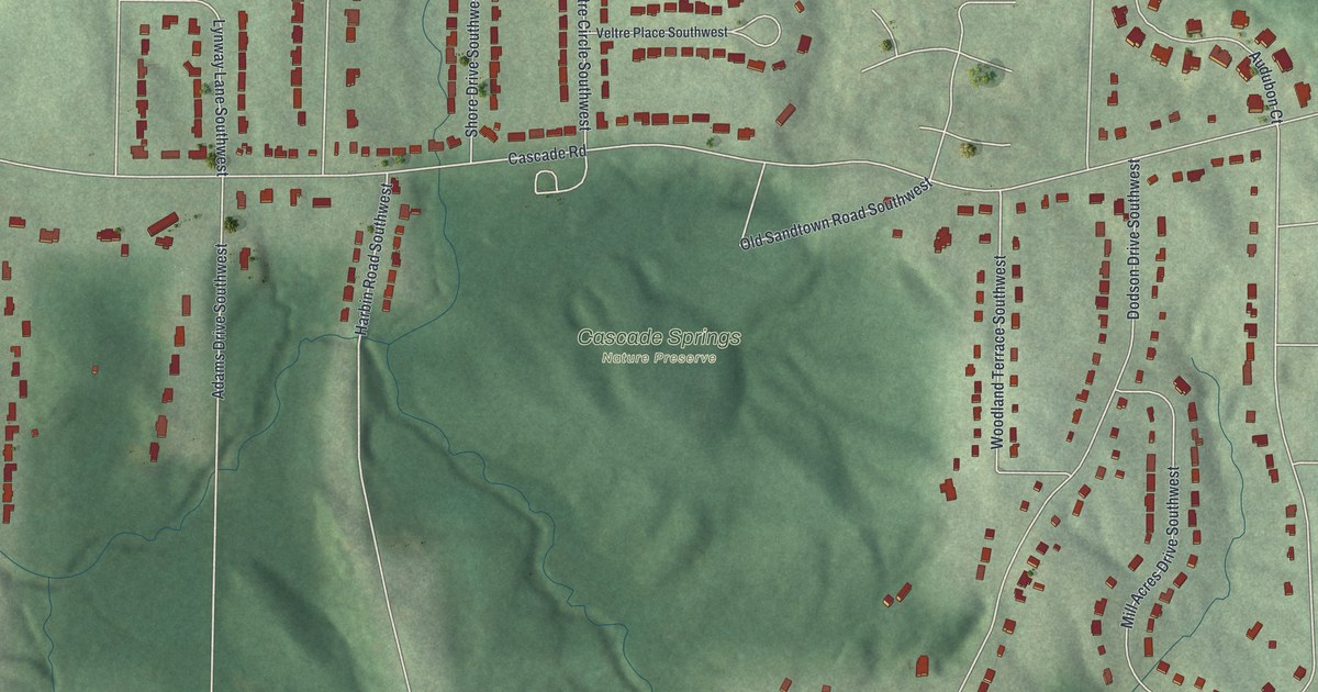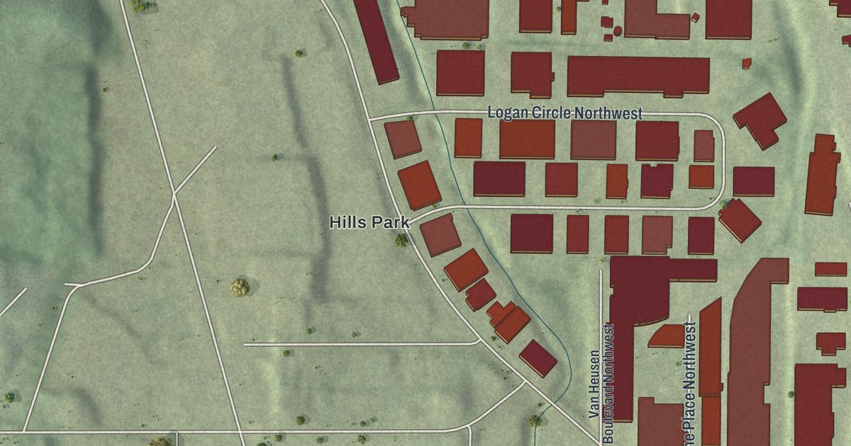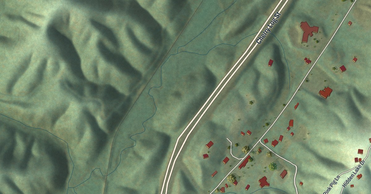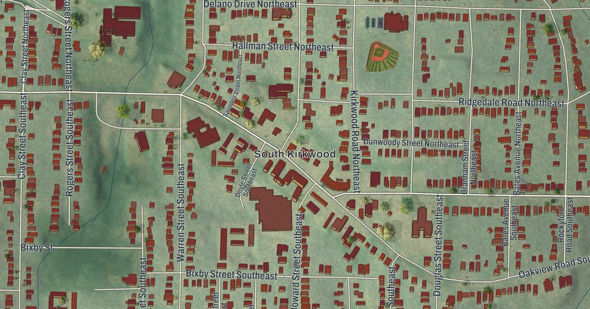
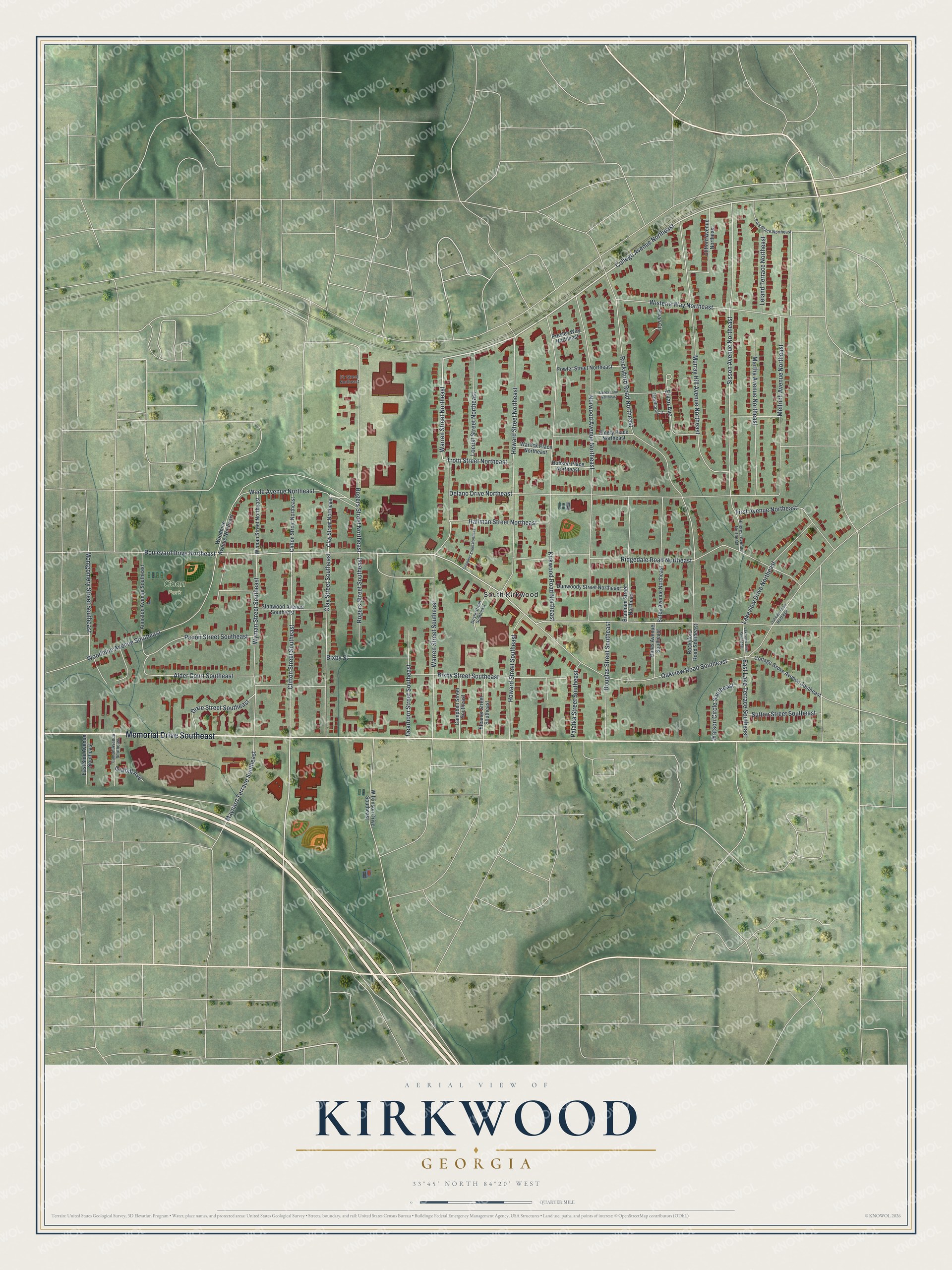
This beautifully detailed map of Kirkwood, Georgia was created in 2026 using aerial imagery combined with modern topographical, census, street and landmark data. It’s a one-of-a-kind view of Kirkwood that combines accurate data with a vintage aesthetic. The map shows every building in its true location, many of the roads carry their names, and the shaded topographic relief shows the shape of the land.
Explore an aerial view of Kirkwood, Georgia
On the map you’ll find South Kirkwood and Coan Park, along with Memorial Drive, College Avenue, Warren Street, Wade Avenue, Clifton Street, and more. If you look closely you can even find your house accurately drawn in its correct location. Zoom in on the preview to look for yours.
Did You Know?
Some of the first shots of the Battle of Atlanta were fired in Kirkwood. A surprise encounter near Clifton Street and Memorial Drive set off the fighting. Five state historic markers in the neighborhood tell the story of the battle.
Take a closer look at the Kirkwood map
Names on this map
These names are printed on this map.
Places: Coan Park and South Kirkwood.
Streets and roads: Memorial Drive Southeast, College Avenue Northeast, Warren Street Northeast, Wade Avenue Northeast, Clifton Street Southeast, Boulevard Drive Northeast, Rockyford Road Northeast, Delano Drive Northeast, Norwood Avenue Northeast, Kirkwood Road Northeast, Sisson Avenue Northeast, Oakview Road Southeast.
More street names, A to Z
Alder Court Southeast, Anniston Avenue Southeast, Bates Avenue Northeast, Bates Avenue Southeast, Bixby Street, Bixby Street Southeast, Branham Street Northeast, Campbell Street Southeast, Clay Street Northeast, Clay Street Southeast, Clifford Avenue Northeast, Clifton Street Northeast, Cottage Grove Avenue Southeast, Dearborn Street Southeast, Dixie Street Southeast, Douglas Street Southeast, Doyle Street Southeast, Dunwoody Street Northeast, East Lake Terrace Southeast, East Side Avenue Southeast, Eleanor Street Southeast, Elvan Avenue, Elvan Circle, Emery Place Northeast, First Avenue Northeast, Fir Street Northeast, Fowler Street Northeast, Grabill Avenue, Hallman Street Northeast, Hawthorn Circle, Hillcrest Avenue Northeast, Howard Street Northeast, Howard Street Southeast, Lakeview Drive Northeast, Lakeview Drive Southeast, Lamon Avenue Southeast, Lanes Lane Northeast, Leland Terrace Northeast, Locust Street Northeast, Martha Avenue Northeast, Maynard Terrace Southeast, Mellrich Avenue Northeast, Montgomery Street Southeast, Murray Hill Avenue Northeast, Oakview Road Northeast, Palatka Street Southeast, Park Place Northeast, Paxon Street Southeast, Presley Way Northeast, Ridgedale Road Northeast, Robson Place Northeast, Rockyford Road Southeast, Rogers Street Northeast, Rogers Street Southeast, Saunders Street Northeast, Stanwood Avenue Southeast, Sutton Street Southeast, Trotti Street Northeast, Warlick Place Northeast, Warren Street Southeast, Watson Circle Southeast, Wilkinson Drive Southeast, Wisteria Way Northeast, Woodbine Avenue Northeast, Woodbine Avenue Southeast, Wyman Street Northeast, Wyman Street Southeast.
See it on a wall
The Kirkwood map as a framed print. Swipe for more.


This beautifully detailed map of Kirkwood makes an attractive addition to your office, library, or den, and it can even be used to teach children the geography and history of the area. It also makes a great gift for anyone who grew up in Kirkwood or moved away. When you’re done exploring, click here to get your copy of the Kirkwood map.