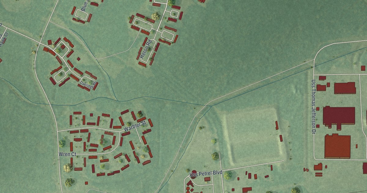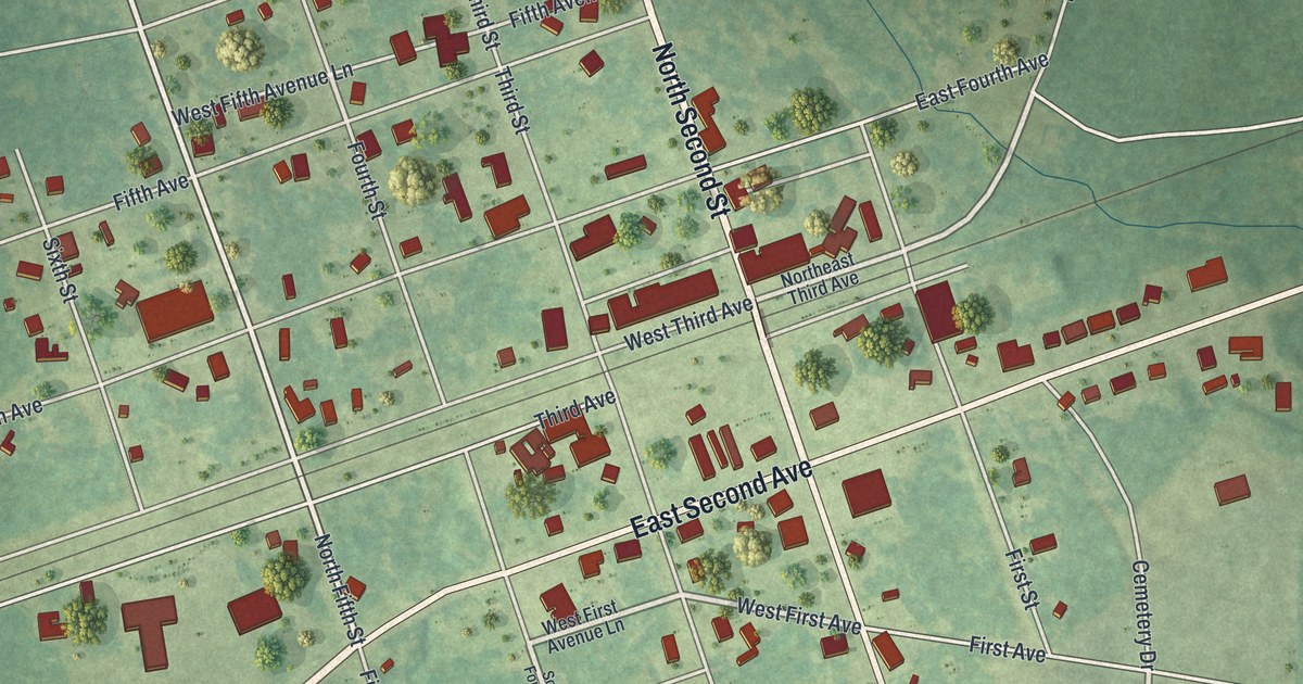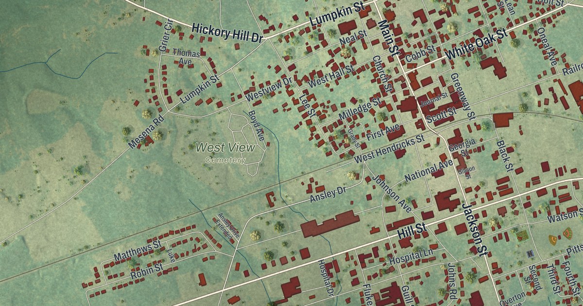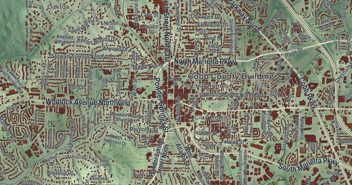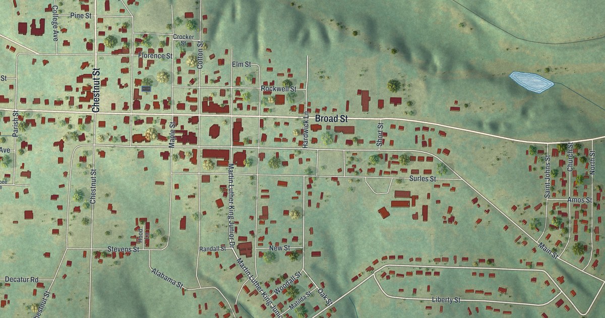
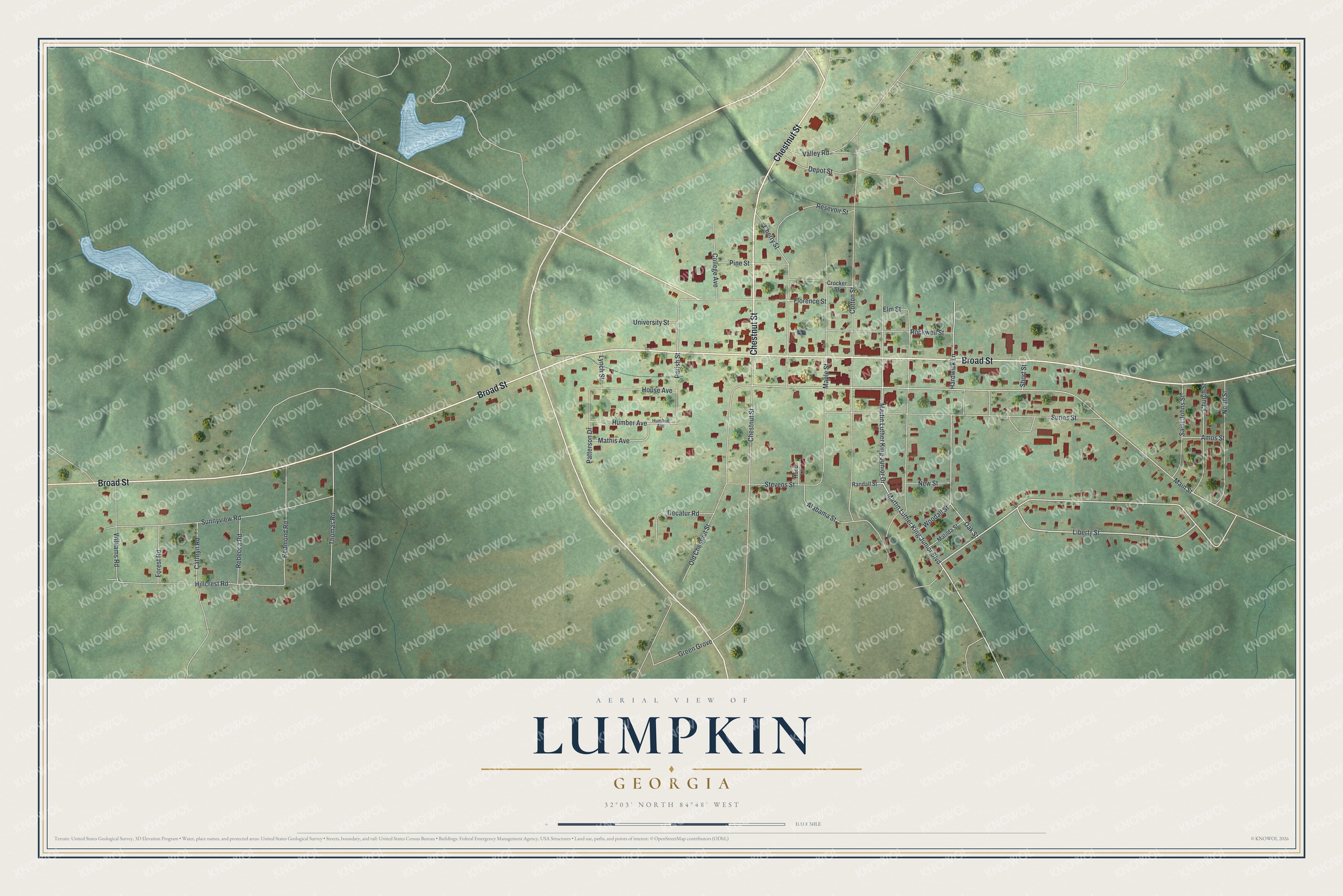
This beautifully detailed map of Lumpkin, Georgia was created in 2026 using aerial imagery combined with modern topographical, census, street and landmark data. It’s a one-of-a-kind view of Lumpkin that combines accurate data with a vintage aesthetic. The map shows every building in its true location, many of the roads carry their names, and the shaded topographic relief shows the shape of the land.
Explore an aerial view of Lumpkin, Georgia
On the map you’ll find Broad Street, Chestnut Street, Liberty Street, Martin Luther King Junior Drive, Martin Luther King Junior Boulevard, and more. If you look closely you can even find your house accurately drawn in its correct location. Zoom in on the preview to look for yours.
Did You Know?
Lumpkin became Georgia’s first small town to complete a successful preservation project aimed at heritage tourism. Residents restored the Bedingfield Inn, which dates from 1836 and stands on the central square. In the 1960s, citizens also created Westville, a living history complex.
Take a closer look at the Lumpkin map
Names on this map
These names are printed on this map.
Streets and roads: Broad Street, Chestnut Street, Liberty Street, Martin Luther King Junior Drive, Martin Luther King Junior Boulevard, Main Street, College Avenue, Parish Street, Oak Street, Pine Street, Williams Road, Depot Street.
More street names, A to Z
Alabama Street, Amos Street, Cathryn Road, Cherry Street, Church Street, Cotton Street, Crocker Street, Decatur Road, Elm Street, Florence Street, Forest Road, Green Grove, Hardwick Lane, Hillcrest Road, Hood Lane, House Avenue, Humbee Avenue, Humber Avenue, Lynch Street, Maple Street, Mathis Avenue, Matilda Street, New Street, North Street, Old Chestnut Street, Patterson Drive, Randall Street, Rebecca Road, Redmond Road, Resevoir Street, Rockwell Street, Saint Johns Street, Short Street, Stevens Street, Sunnyview Road, Surles Street, Thomas Road, University Street, Valley Road, Woodall Street.
See it on a wall
The Lumpkin map as a framed print. Swipe for more.


This beautifully detailed map of Lumpkin makes an attractive addition to your office, library, or den, and it can even be used to teach children the geography and history of the area. It also makes a great gift for someone who left Lumpkin and still calls it home. When you’re done exploring, click here to get your copy of the Lumpkin map.