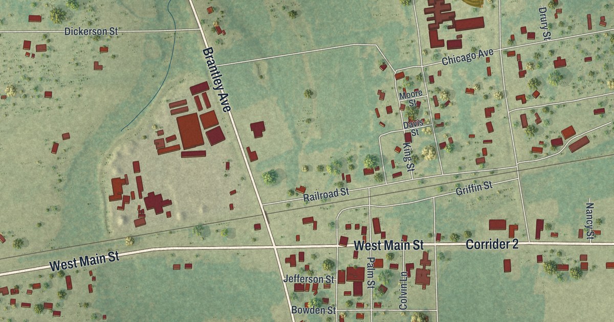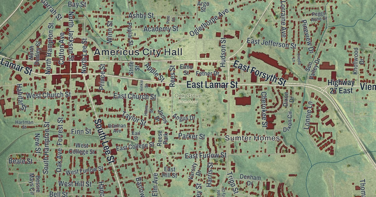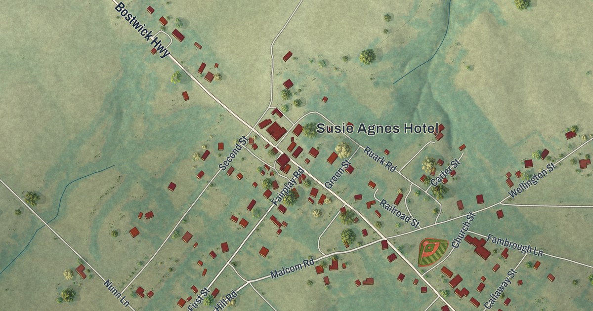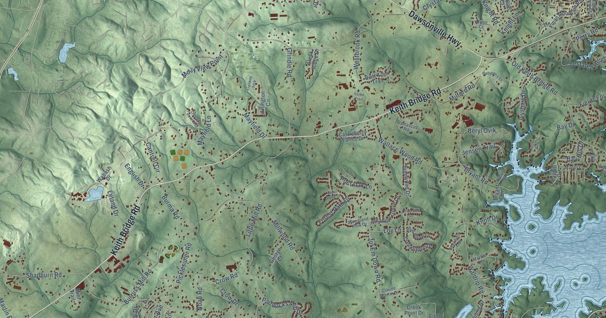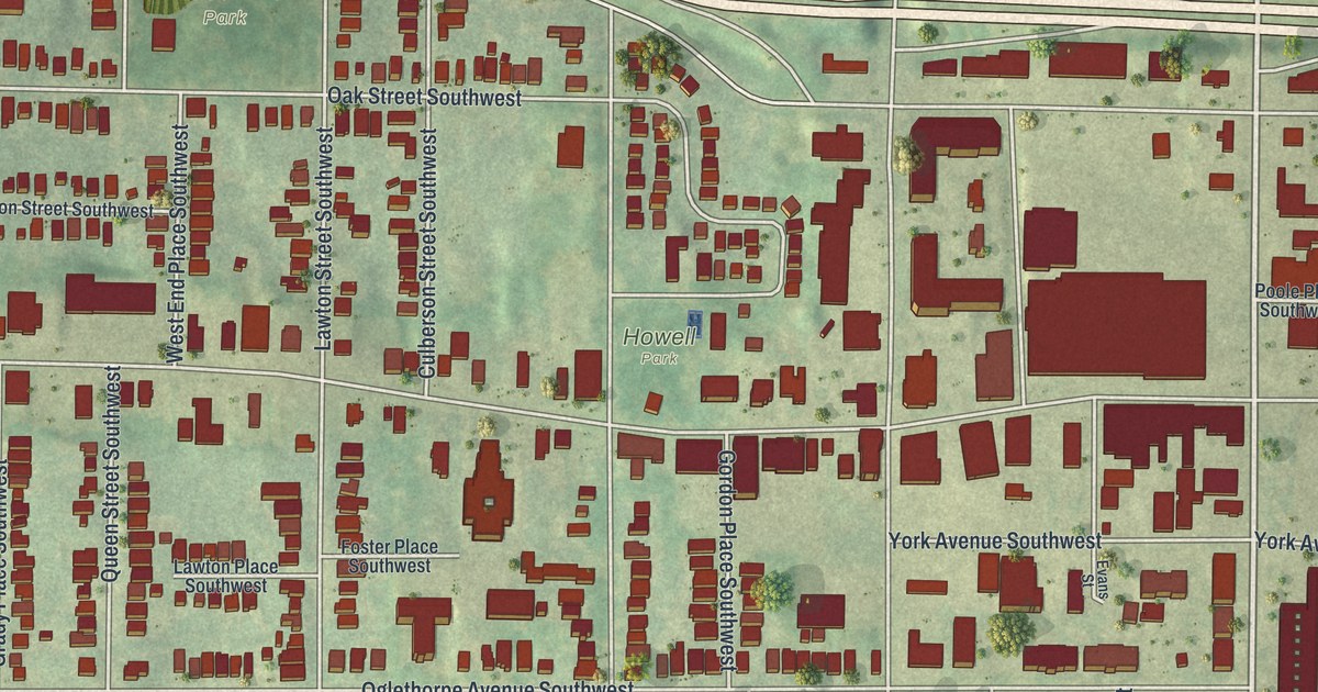
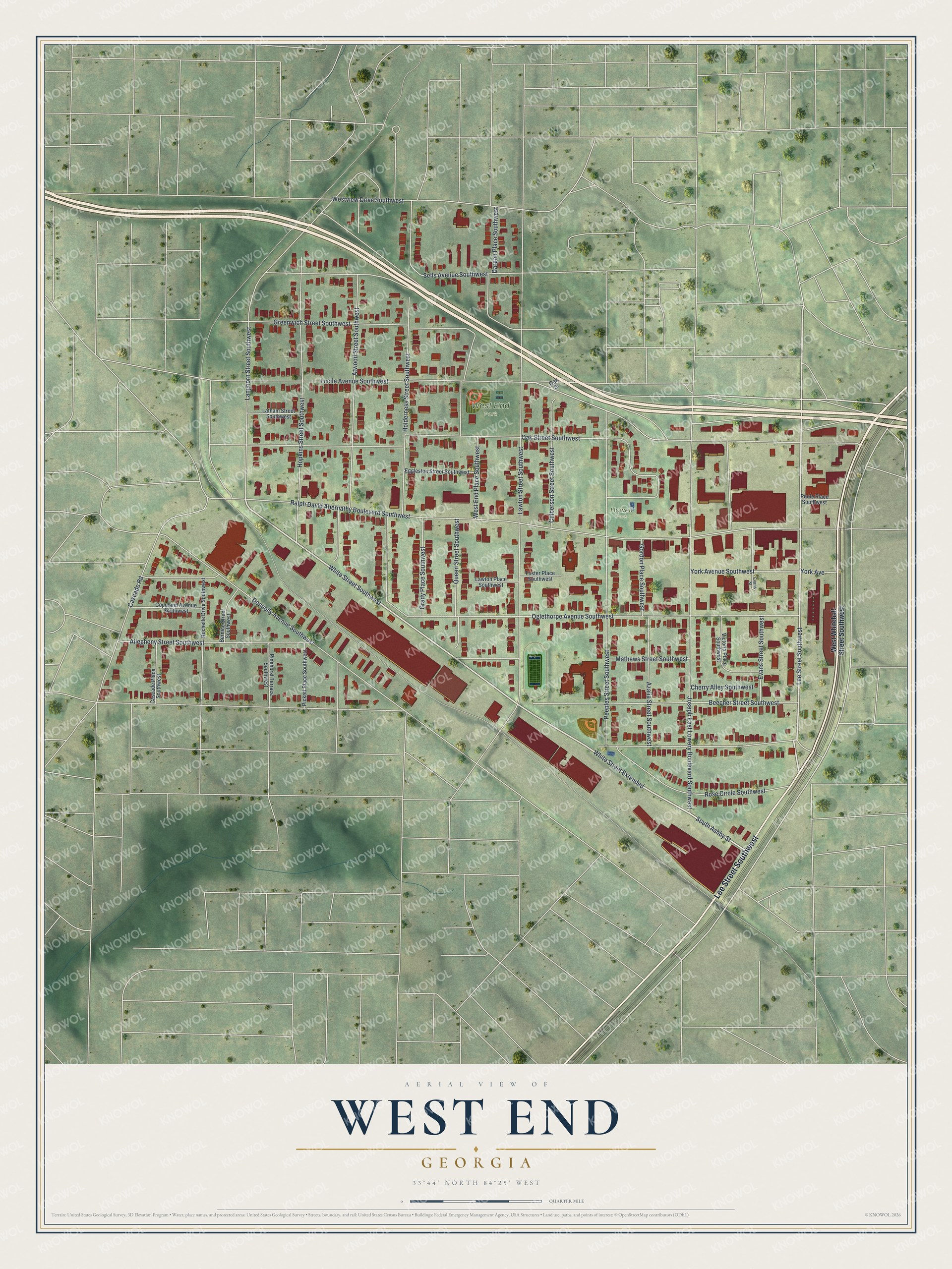
This beautifully detailed map of West End, Georgia was created in 2026 using aerial imagery combined with modern topographical, census, street and landmark data. It’s a one-of-a-kind view of West End that combines accurate data with a vintage aesthetic. The map shows every building in its true location, many of the roads carry their names, and the shaded topographic relief shows the shape of the land.
Explore an aerial view of West End, Georgia
On the map you’ll find White Street Extended and Howell Park, along with Lee Street, West Whitehall Street, White Street, Ashby Street, and more. If you look closely you can even find your house accurately drawn in its correct location. Zoom in on the preview to look for yours.
Did You Know?
Around 1830, Charner Humphries opened an inn and tavern where the Newnan and Sandtown roads crossed. People called it Whitehall, because it wore a coat of white paint when most buildings did not. That frontier crossroads grew into West End, which Atlanta annexed as its own ward in 1894.
Take a closer look at the West End map
Names on this map
These names are printed on this map.
Places: West End Park and Howell Park.
Streets and roads: Lee Street Southwest, White Street Southwest, White Street Extended, South Ashby Street, Oak Street Southwest, Ralph David Abernathy Boulevard Southwest, Joseph East Lowery Boulevard Southwest, Oglethorpe Avenue Southwest, Lucile Avenue Southwest, Holderness Street Southwest, Lawton Street Southwest, Atwood Street Southwest.
More street names, A to Z
Allegheny Street Southwest, Azalia Street Southwest, Beecher Street Southwest, Bernice Street Southwest, Cascade Place Southwest, Cascade Road, Cherry Alley Southwest, Copeland Avenue Southwest, Culberson Street Southwest, Dargan Place Southwest, Donnelly Avenue Southwest, Eggleston Street Southwest, Evans Street, Evans Street Southwest, Foster Place Southwest, Gordon Place Southwest, Grady Place Southwest, Greenwich Street Southwest, Hopkins Street Southwest, Langhorn Street Southwest, Latham Street Southwest, Lawton Place Southwest, Mathews Street Southwest, Oak Street, Peeples Street Southwest, Pickett Place Southwest, Pinehurst Terrace Southwest, Poole Place Southwest, Queen Street Southwest, Rochelle Drive Southwest, Rose Circle Southwest, Sells Avenue Southwest, Victoria Place Southwest, West End Place Southwest, Westview Drive Southwest, West Whitehall Street Southwest, York Avenue, York Avenue Southwest.
See it on a wall
The West End map as a framed print. Swipe for more.


This beautifully detailed map of West End makes an attractive addition to your office, library, or den, and it can even be used to teach children the geography and history of the area. It also makes a great gift for someone who left West End and still calls it home. When you’re done exploring, click here to get your copy of the West End map.