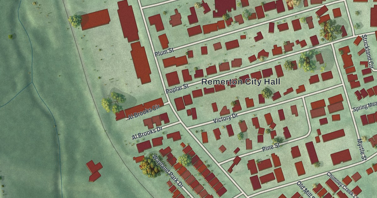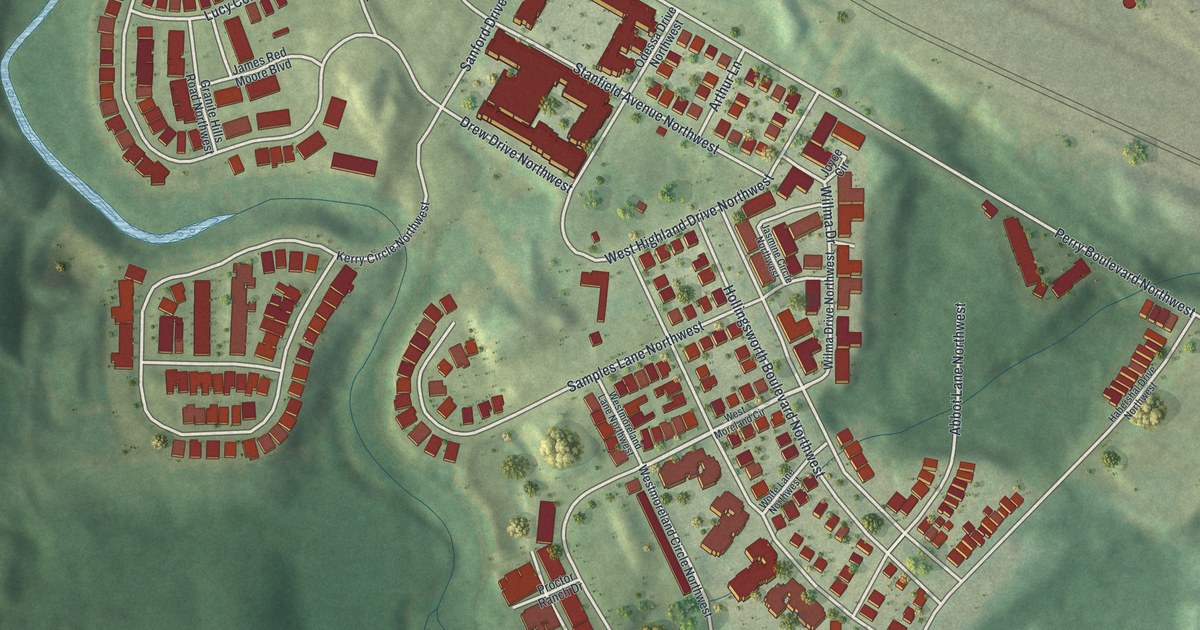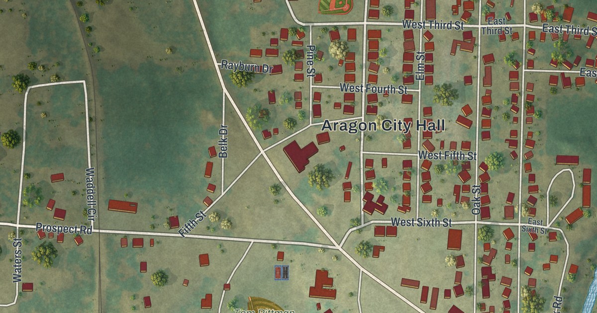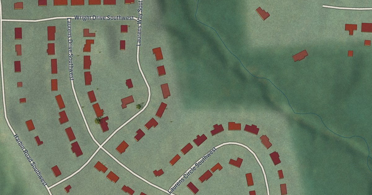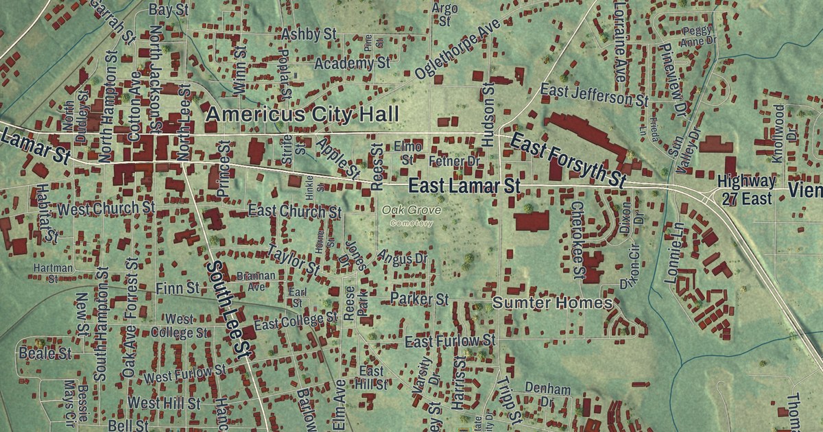
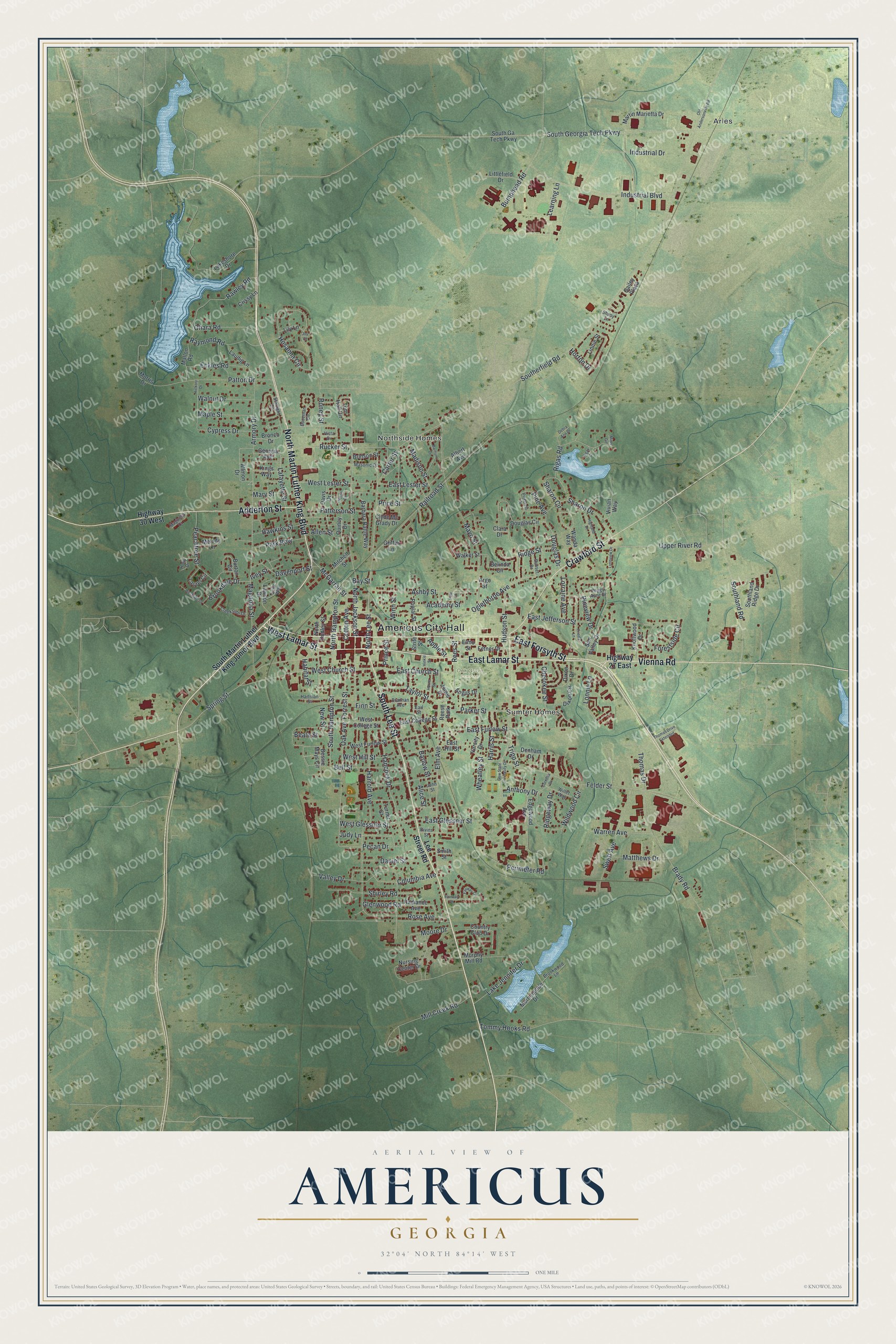
This beautifully detailed map of Americus, Georgia was created in 2026 using aerial imagery combined with modern topographical, census, street and landmark data. It’s a one-of-a-kind view of Americus that combines accurate data with a vintage aesthetic. The map shows every building in its true location, many of the roads carry their names, and the shaded topographic relief shows the shape of the land.
Explore an aerial view of Americus, Georgia
On the map you’ll find Americus City Hall, Arles, and Oak Grove Cemetery, along with Lee Street, Lamar Street, Vienna Road, Martin Luther King Boulevard, and more. If you look closely you can even find your house accurately drawn in its correct location. Zoom in on the preview to look for yours.
Did You Know?
The railroad reached Americus in 1854. Three decades later, attorney Samuel H. Hawkins built the only privately financed railroad in Georgia history here. The rail lines made Americus the eighth largest city in the state. In 1890 Georgia’s first chartered electric streetcar system began running on its streets. One restored streetcar is on permanent display at the Lake Blackshear Regional Library.
Take a closer look at the Americus map
Names on this map
These names are printed on this map.
Places: Americus City Hall, Arles, Northside Homes, Sumter Homes, Oak Grove Cemetery and Reese Park.
Streets and roads: South Lee Street, West Lamar Street, Vienna Road, East Lamar Street, North Martin Luther King Boulevard, Adderton Street, Crawford Street, East Forsyth Street, Elm Avenue, Spring Street, Magnolia Street, Rawley Road.
More street names, A to Z
Academy Street, Albert Avenue, Alice Street, Allen Street, Allmon Drive, Angus Drive, Anthony Drive, Apple Street, Argo Street, Armory Drive, Ashby Street, Barbara Battle Way, Barlow Street, Barnum Drive, Bay Street, Beale Street, Belinda Circle, Bell Street, Bessie Mays Circle, Bivins Street, Bozeman Circle, Brady Road, Brannan Avenue, Brinson Street, Bronco Drive, Brookdale Drive, Brookwood Lane, Bumphead Road, Burton Circle, Carter Street, Cherokee Street, Clara Drive, Clyde Mc Grady Drive, Columbia Avenue, Cornelia Drive, Cotton Avenue, Country Club Drive, Creekside Drive, Crissy Lane, Cypress Drive, Daniel Street, Davenport Street, Davis Drive, Debra Ann Drive, Denham Drive, Dixon Circle, Dixon Drive, Douglas Circle, Douglas Drive, Earl Street, East Church Street, East College Street, East Furlow Street, East Glessner Street, East Hill Street, East Jefferson Street, East Lester Street, Eckles Road, Edgewood Avenue, Elmo Street, Fairway Circle, Fairway Drive, Felder Street, Fetner Drive, Finn Street, Forestside Circle, Forrest Street, Frieda Lane, Gailey Plaza, Georgia Avenue, Glenwood Road, Griffin Lane, Gsw State University Drive, Habitat Street, Hancock Drive, Harris Street, Harrold Avenue, Hartman Street, Hawkins Street, Hickory Drive, Highland Drive, Highway 27 East, Highway 30 West, Hinkle Street, Holly Drive, Horne Street, Horton Drive, Hosanna Circle, Hudson Street, Industrial Boulevard, Industrial Drive, Ivey Street, John Street, Jones Drive, Joy Court, Judy Lane, Kings Way, Knollwood Drive, Lafayette Street, Lake Jennifer Drive, Lakeshore Drive, Laudig Lane, Laurel Circle, Lawson Drive, Learning Lane, Lee Street Road, Leila Way, Lily Lane, Linnie Street, Littlefield Drive, Lonnie Lane, Lorraine Avenue, Lynnview Drive, Madison Street, Magnolia Court, Mallon Road, Maple Street, Martin Marietta Drive, Mary Street, Masonic Drive, Matthews Drive, Mayo Street, McGarrah Street, Melody Lane, Mill Creek Road, Mims Circle, Mitchell Street, Moore Drive, Morningside Drive, Morris Drive, Murphy Mill Road, New Street, Norris Circle, North Dudley Street, North Hampton Street, North Jackson Street, North Lee Street, Nursing Center Drive, Oak Avenue, Oglethorpe Avenue, Ohara Road, Old Andersonville Road, Parker Street, Park Row, Patterson Street, Patton Drive, Peachtree Street, Pecan Drive, Peggy Anne Drive, Perimeter Road, Pine Avenue, Pinecrest Drive, Pine Street, Pineview Drive, Poplar Street, Price Street, Prince Street, Quincy Drive, Radiance Avenue, Railroad Street, Raymond Road, Rees Street, Ridge Street, Ridgeway Drive, Rigas Court, Rigas Road, Roney Street, Rose Avenue, Rucker Street, Shady Lane, Sharon Circle, Sharon Drive, Shirley Road, Smith Street, Southerfield Road, South Ga Tech Parkway, South Georgia Tech Parkway, South Hampton Street, Southland Ridge Drive, Southland Road, South Martin Luther King Junior Boulevard, Starlight Circle, Strife Street, Sunset Drive, Sun Valley Drive, Swett Avenue, Taylor Street, Thomas Drive, Thomas Drive Extended, Tom Hall Circle, Tommy Hooks Road, Tripp Street, Turner Street, Upper River Road, Valley Drive, Varsity Drive, Vista Drive, Vivian Way, Walker Street, Walnut Drive, Wanda Way, Warren Avenue, West Church Street, West College Street, West Furlow Street, West Glessner Street, West Hill Street, West Lester Street, Westside Drive, Wheatley Street, Wildwood Circle, Willet Way, Winn Street.
See it on a wall
The Americus map as a framed print. Swipe for more.


This beautifully detailed map of Americus makes an attractive addition to your office, library, or den, and it can even be used to teach children the geography and history of the area. It also makes a great gift for anyone who grew up in Americus or moved away. When you’re done exploring, click here to get your copy of the Americus map.