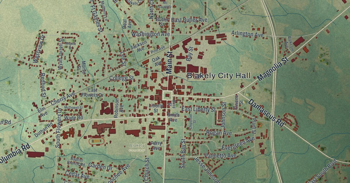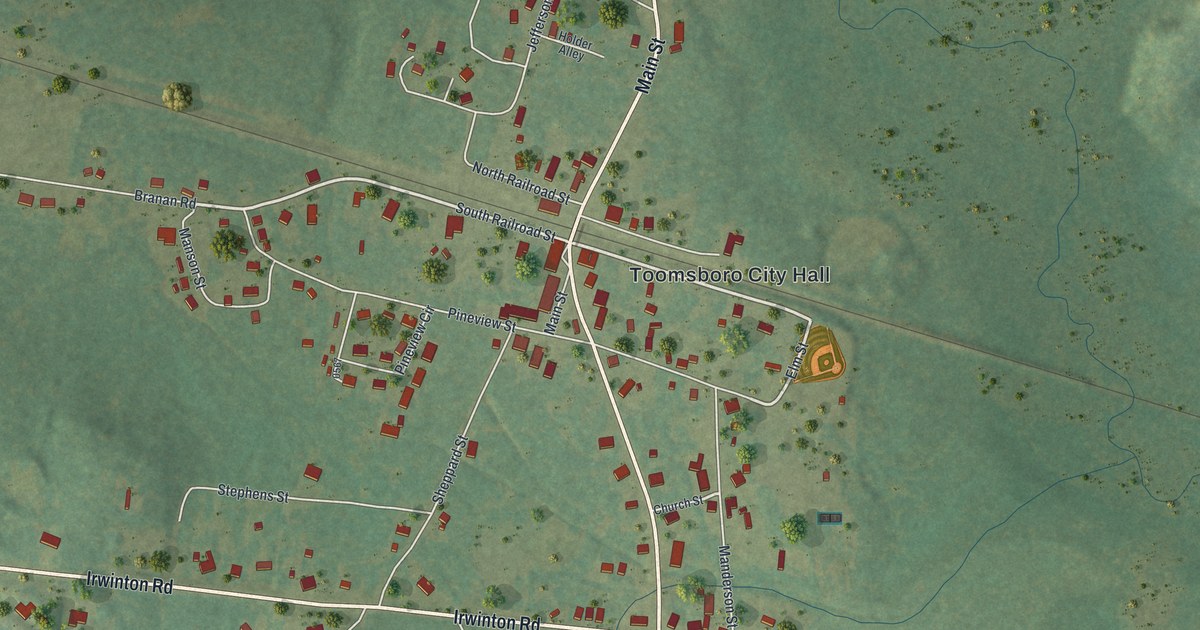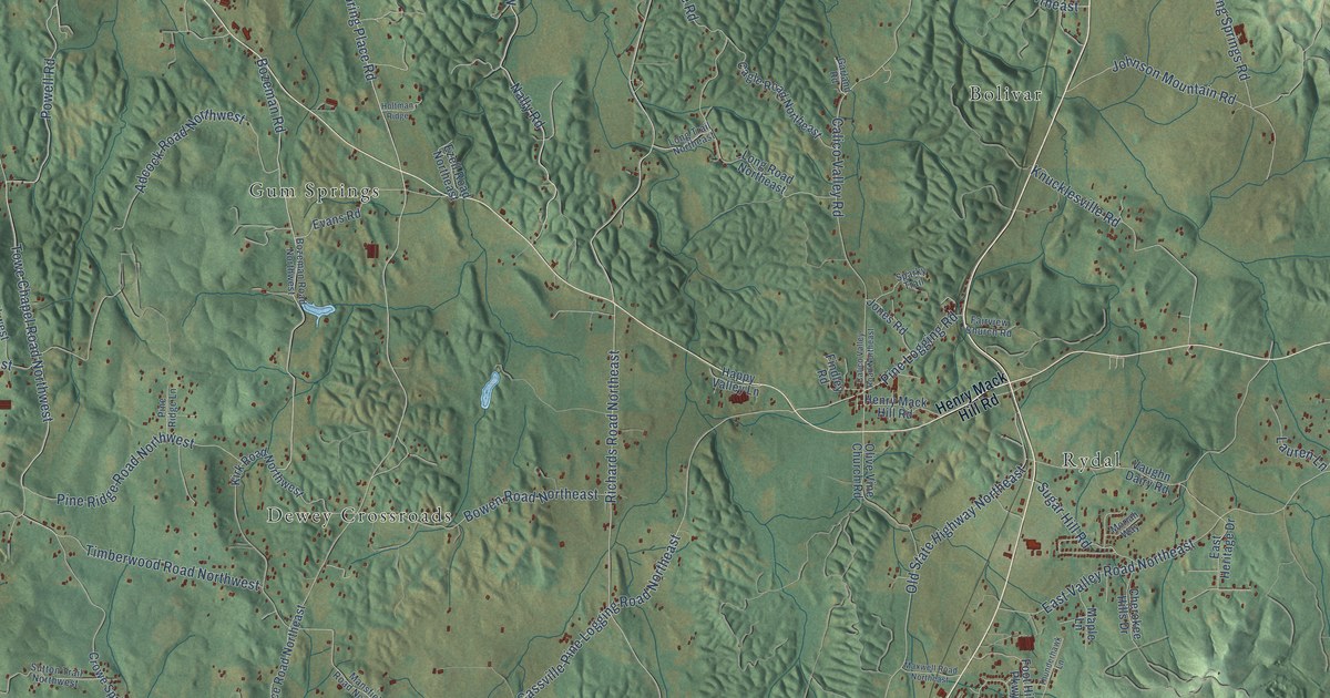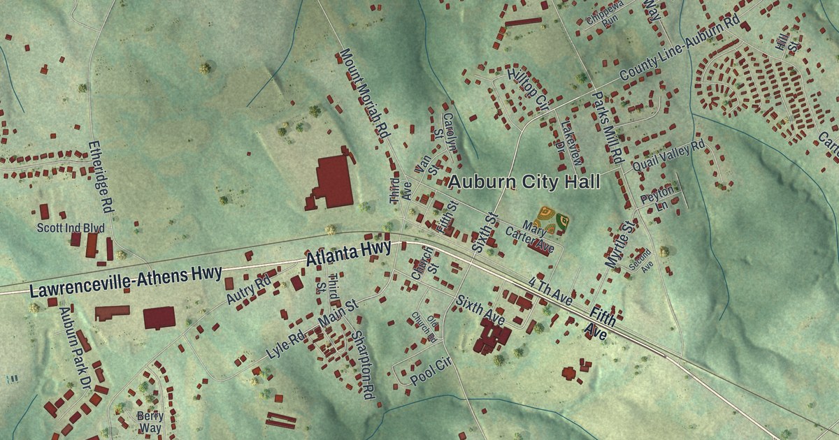
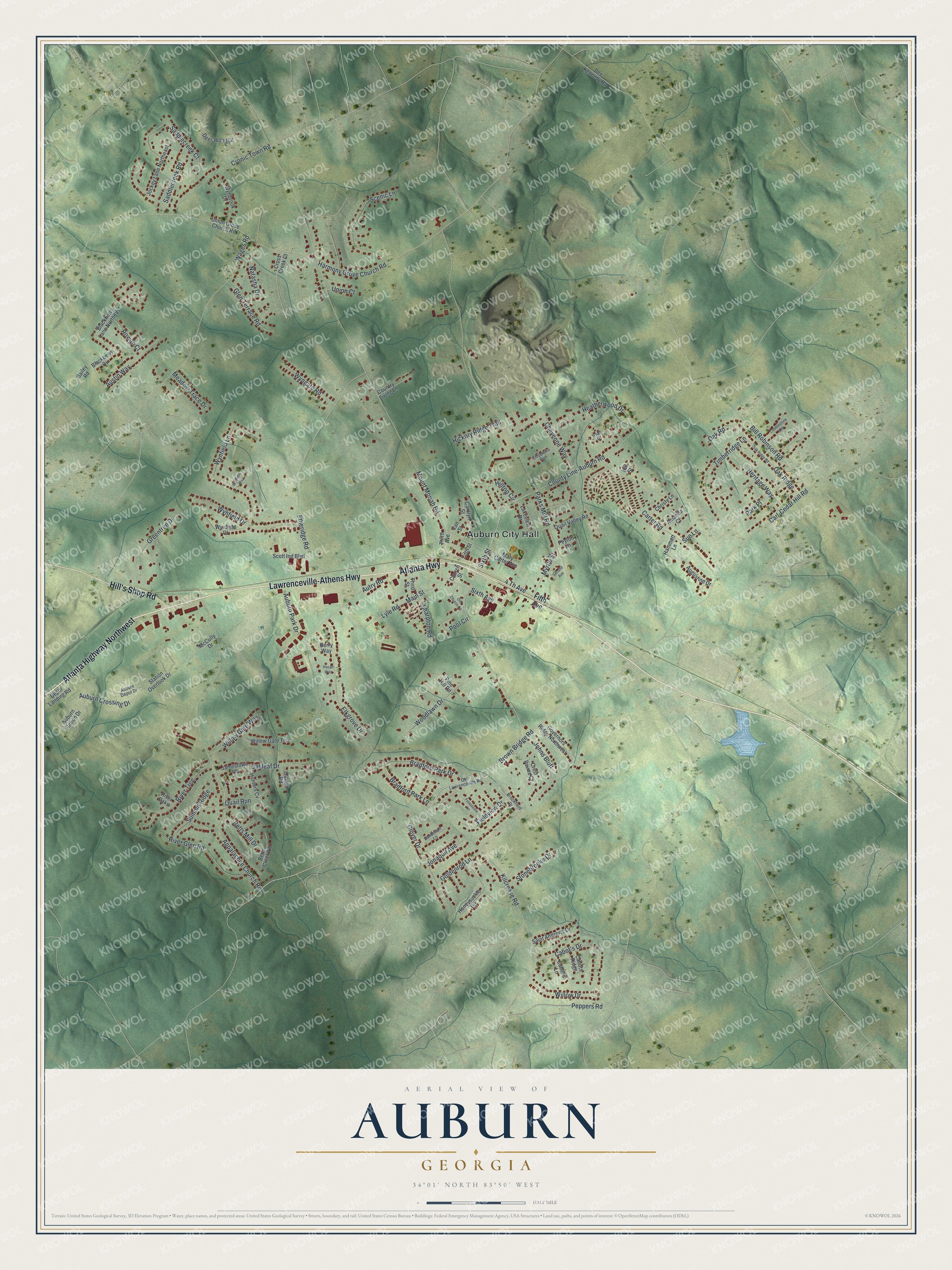
This beautifully detailed map of Auburn, Georgia was created in 2026 using aerial imagery combined with modern topographical, census, street and landmark data. It’s a one-of-a-kind view of Auburn that combines accurate data with a vintage aesthetic. The map shows every building in its true location, many of the roads carry their names, and the shaded topographic relief shows the shape of the land.
Explore an aerial view of Auburn, Georgia
On the map you’ll find Auburn City Hall, along with Atlanta Highway, Lawrenceville-Athens Highway, Hill’s Shop Road, Fifth Avenue, and more. If you look closely you can even find your house accurately drawn in its correct location. Zoom in on the preview to look for yours.
Did You Know?
Auburn was home to Perry-Rainey Institute, a Baptist school. Most of its students worshiped at the Auburn Baptist church. That made the church one of the most important in the county. The congregation began in 1882 as Shady Grove, two miles from town. It moved into Auburn in 1893. That’s from the 1911 Gwinnett Churches.
Take a closer look at the Auburn map
Names on this map
These names are printed on this map.
Places: Auburn City Hall.
Streets and roads: Atlanta Highway, Lawrenceville-Athens Highway, Atlanta Highway Northwest, Hill's Shop Road, Brown Bridge Road, Sixth Avenue, Sixth Street, Main Street, Harmony Grove Church Road, Kilcrease Road, Mount Moriah Road, Parks Mill Road.
More street names, A to Z
4 Th Avenue, Amanda Court, Appalachee Church Road, Auburn Crossing Drive, Auburn Depot Drive, Auburn Park Drive, Auburn Station Drive, Augustine Drive, Austin Way, Autry Road, Bailey Road, Berry Way, Betts Creek Road, Betts Mill Drive, Bill Robinson Road, Blackberry Circle, Blackberry Lane Northeast, Bradford Park Drive, Bradford Park Lane, Brookfield Drive, Cabot's Drive, Cabot's Lane, Cabots Ridge, Carl-Cedar Hill Road, Carolyn Street, Carter Road, Cheyenne Way, Chippewa Run, Christy Lane, Church Street, Clover Drive, Cobblestone Road, Country Living Lane, County Line-Auburn Road, Crest Pointe Court, Cronic Town Road, Cross Creek Court, Dandelion Lane, Dee Kennedy Road, Deer Wood Drive, Depot Landing Road, Elkgrove Drive, Etheridge Road, Fieldview Drive, Fifth Avenue, Fifth Street, Forestview Lane, Glen Terrace Road, Goldenrod Lane, Governors Ridge Northwest, Greentree Drive, Hammett Lane, Heatherwood Drive, Heritage Way, Hickory Ridge Trail, Hill Street, Hilltop Circle, Honeysuckle Terrace, Hunters Cv, Jamestown Road, Jockey Lane Northeast, Johns Bluff, Jonaquil Avenue, Lakeview Drive, Lyle Road, Mary Carter Avenue, McCully Drive, Meadow Trace Drive, Myrtle Street, Natasha Drive, Oakhill Road, Oakleaf Drive, Oak Ridge, Oak Ridge Road, Oak Road, Old Church Road, Old Lawrenceville Road, Park Place, Pecan Way, Peppers Road, Peyton Lane, Pine Hill Road, Pool Circle, Quail Run, Quail Valley Road, River Glen Road, River Oaks, River Trce, Rowan Court, Ryan Drive, Saddlecreek Court, Saddlecreek Road, Saint Andrews Drive, Scenic Lane, Scott Ind Boulevard, Second Avenue, Sharpton Road, Station Overlook Drive, Stonebrooke Drive, Sue Lane, Summit Ridge, Third Avenue, Third Street, Timberridge Lane, Union Court, Union Grove Church Road, Van Street, Wages Road, Willow Drive, Willow Gate Trce, Willow Gate Way, Woodlawn Drive, Wynbrook Drive, Wynfield Court, Wynfield Drive, Wynfield Lane, Wynfield Way, Wyngate Road.
See it on a wall
The Auburn map as a framed print. Swipe for more.


This beautifully detailed map of Auburn makes an attractive addition to your office, library, or den, and it can even be used to teach children the geography and history of the area. It also makes a great gift for someone who left Auburn and still calls it home. When you’re done exploring, click here to get your copy of the Auburn map.