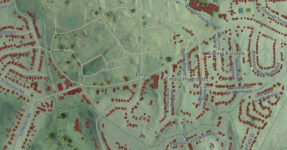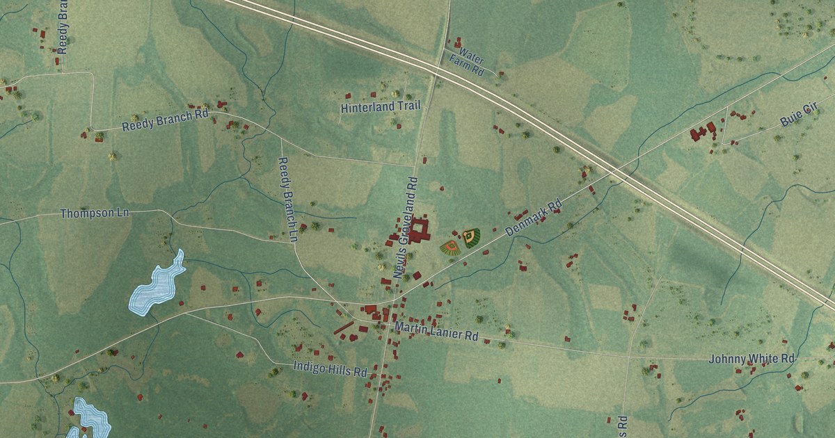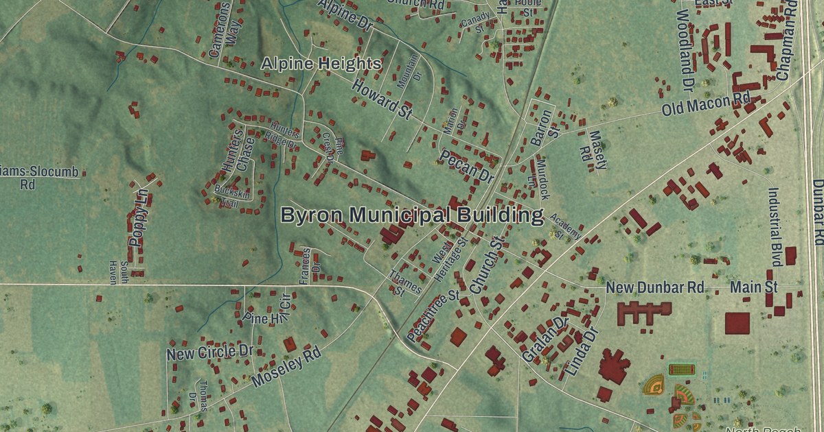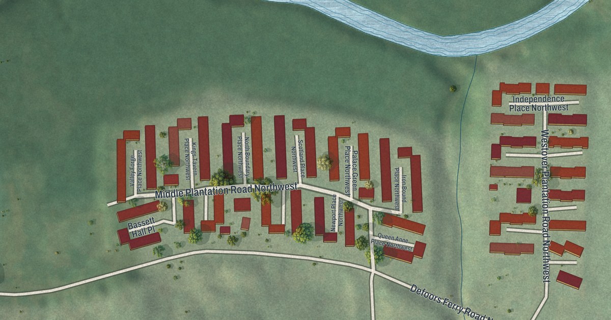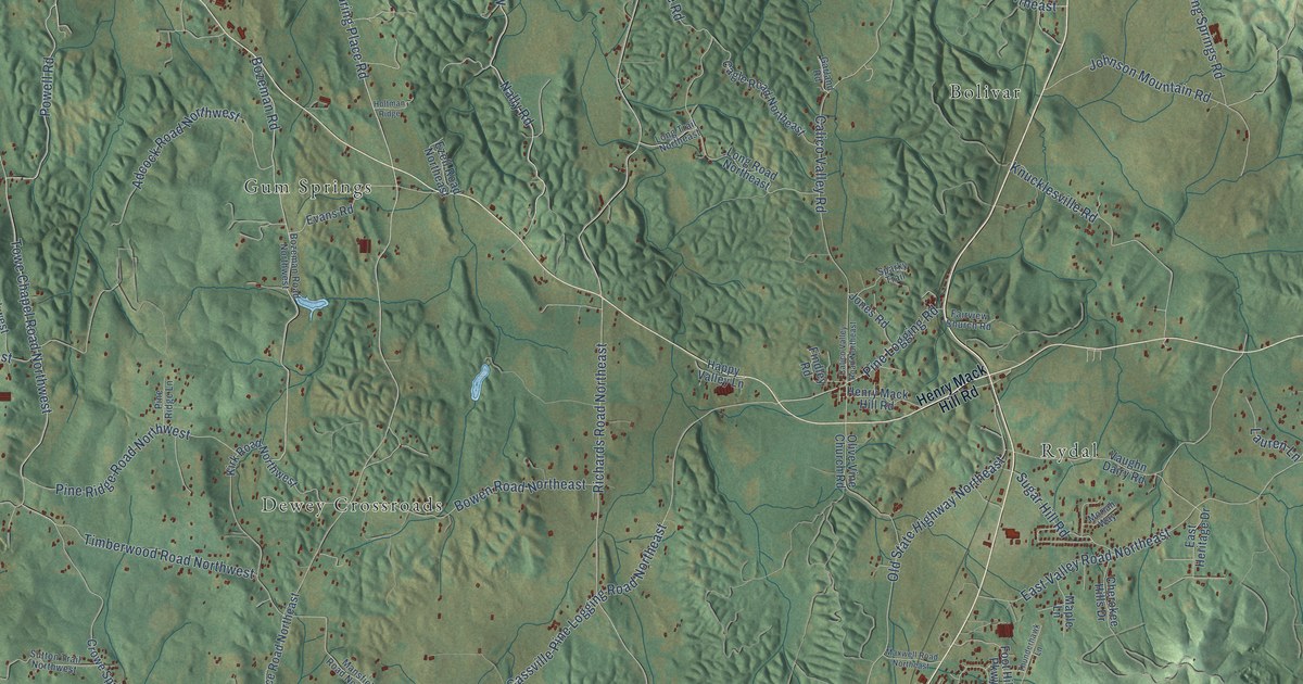
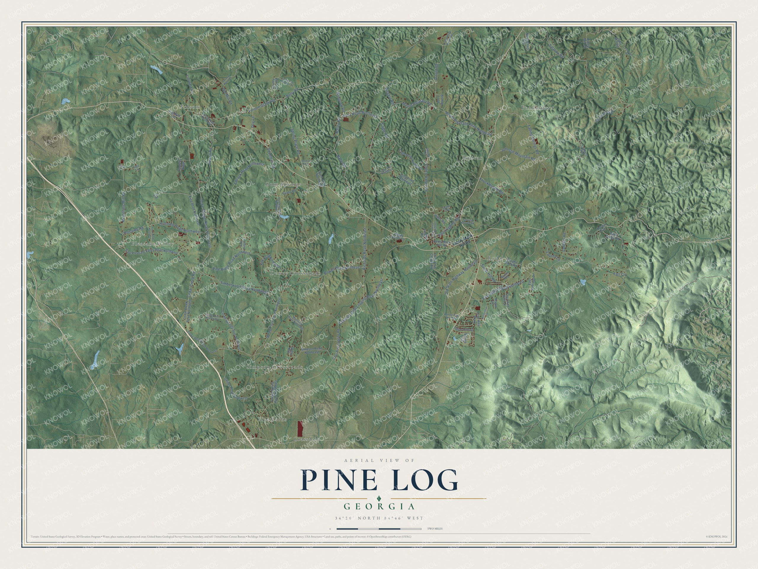
This beautifully detailed map of Pine Log, Georgia was created in 2026 using aerial imagery combined with modern topographical, census, street and landmark data. It’s a one-of-a-kind view of Pine Log that combines accurate data with a vintage aesthetic. The map shows every building in its true location, many of the roads carry their names, and the shaded topographic relief shows the shape of the land.
Explore an aerial view of Pine Log, Georgia
On the map you’ll find Pleasant Valley, Five Forks, Folsom, Funkhouser, Rydal, Dewey Crossroads, Simpson Crossroads, Bolivar, Gum Springs, and Grassdale, along with Perry Road, Spring Place Road, and more. If you look closely you can even find your house accurately drawn in its correct location. Zoom in on the preview to look for yours.
Did You Know?
From Internet Archive: "In 1851 he moved to Cass (now Bartow) county, purchased and settled on 320 acres of land on Pine Log creek."
Pine Log is a community in Bartow County.
Take a closer look at the Pine Log map
Names on this map
These names are printed on this map.
Places: Pleasant Valley, Five Forks, Folsom, Funkhouser, Rydal, Dewey Crossroads, Simpson Crossroads, Bolivar, Gum Springs and Grassdale.
Streets and roads: Perry Road, Spring Place Road, Folsom Glade Road, Hobgood Road, Nally Road Northeast, Nalley Road, Powell Road, Cedar Creek Road, Arnold Road, Nally Road, Richards Road Northeast, Holcomb Road.
More street names, A to Z
Adcock Road Northwest, Arnold Road Northeast, Bishop Loop, Bowen Road Northeast, Bozeman Road, Bozeman Road Northwest, Cagle Road, Cagle Road Northeast, Calico Valley Road, Calico Valley Road Northeast, Cass Pine Logging Road, Cassville Pine Logging Road Northeast, Cedar Creek Road Northwest, Cedar Lane, Cherokee Hills Drive, Cochrans Way, Cochran Way, County Line Road, County Line Road No 2 Road, Crowe Spring Road Northeast, Crowe Springs Road Northwest, Crowe Springs Spur Northwest, Deer Lodge Road, Dog Lane, East Heritage Drive, East Pleasant Valley Road Northwest, East Valley Road Northeast, Evans Road, Ezell Road Northeast, Fairmont Road, Fairview Church Road, Falling Springs Road, Farr Circle, Findley Road, Folsom Road Northwest, Foot Hills Parkway, Gaines Road Northwest, Garland Road, Garland Road No 2, Happy Valley Lane, Hardin Road Northwest, Henry Mack Hill Road, Highway 140, Holcomb Road Northwest, Holtman Ridge, Hunters Ridge, Indian Hills Drive, Irwin Mill Road, Johnson Mountain Road, Jones Road, King Road, King Road Northwest, Kirk Road Northwest, Knucklesville Road, Landers Road, Lauren Lane, Littlefield Road, Lois Lane, Long Road Northeast, Long Trail Northeast, Mansfield Road Northeast, Maple Lane, Maxwell Road Northeast, Moriah Way, Mostellers Mill Road, Mount Pleasant Road, Mount Pleasant Road Northeast, Navajo Trail, Nottingham Way, Oak Hill Drive, Old Mill Road, Old State Highway Northeast, Olive Vine Church Road, Pine Logging Road, Pine Ridge Lane, Pine Ridge Road Northwest, Riddle Mill Road, Ringers Road, Salacoa Road, Simpson Road Northeast, Sparky Trail, Spring Place Road Northeast, Sugar Hill Road, Sutton Trail Northwest, Thunderhawk Lane, Timberwood Road Northwest, Towe Chapel Road Northwest, Vaughn Dairy Road, Village Trce.
See it on a wall
The Pine Log map as a framed print. Swipe for more.


This beautifully detailed map of Pine Log makes an attractive addition to your office, library, or den, and it can even be used to teach children the geography and history of the area. It also makes a great gift for anyone with Pine Log roots. When you’re done exploring, click here to get your copy of the Pine Log map.