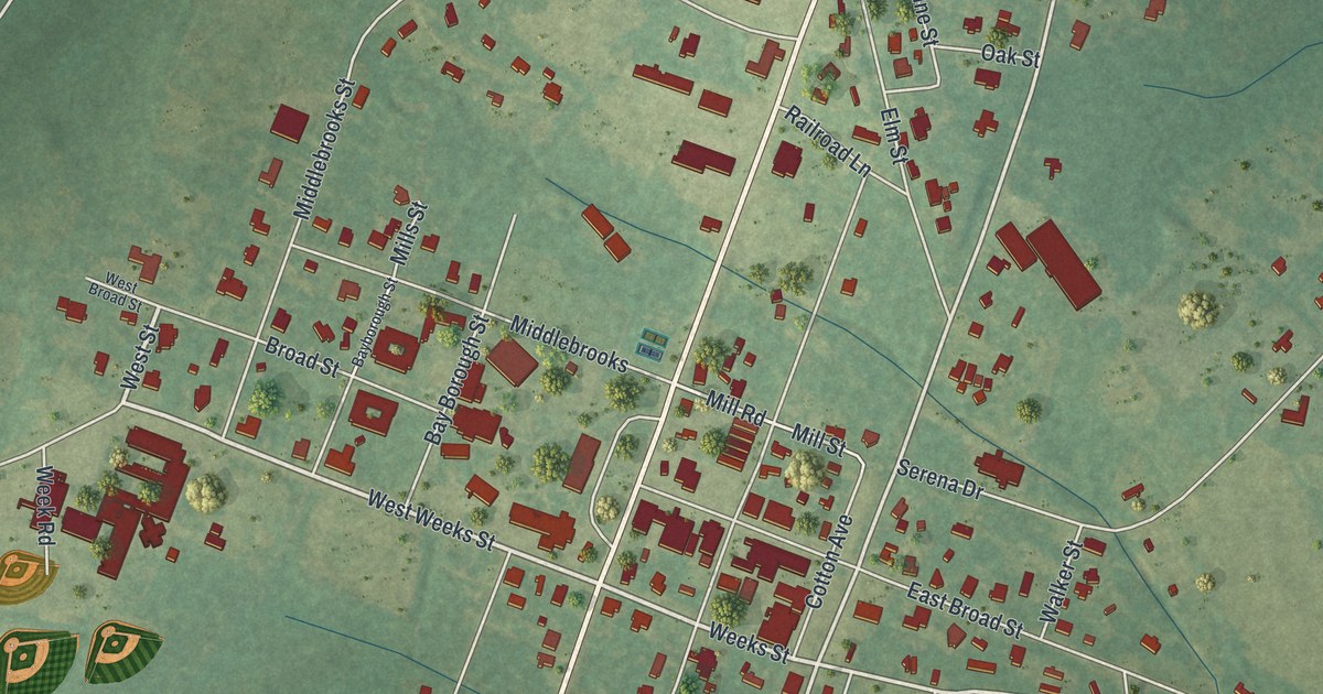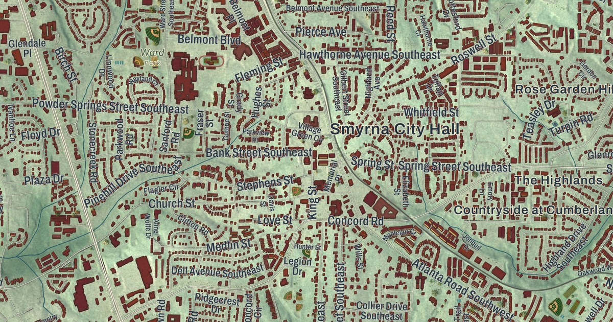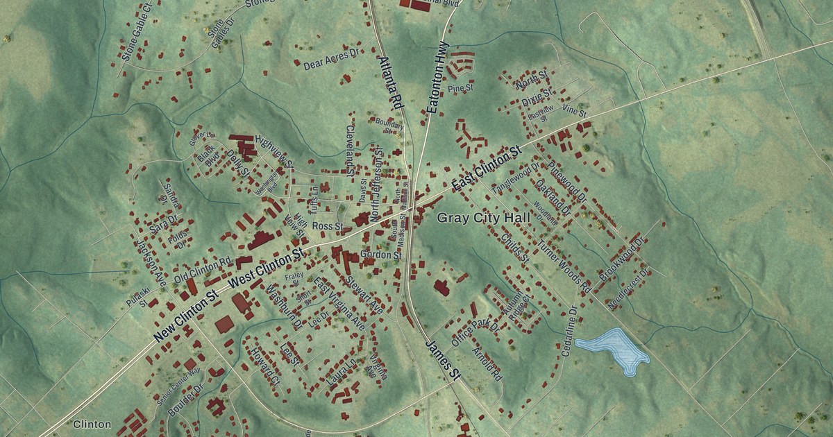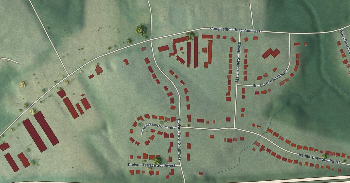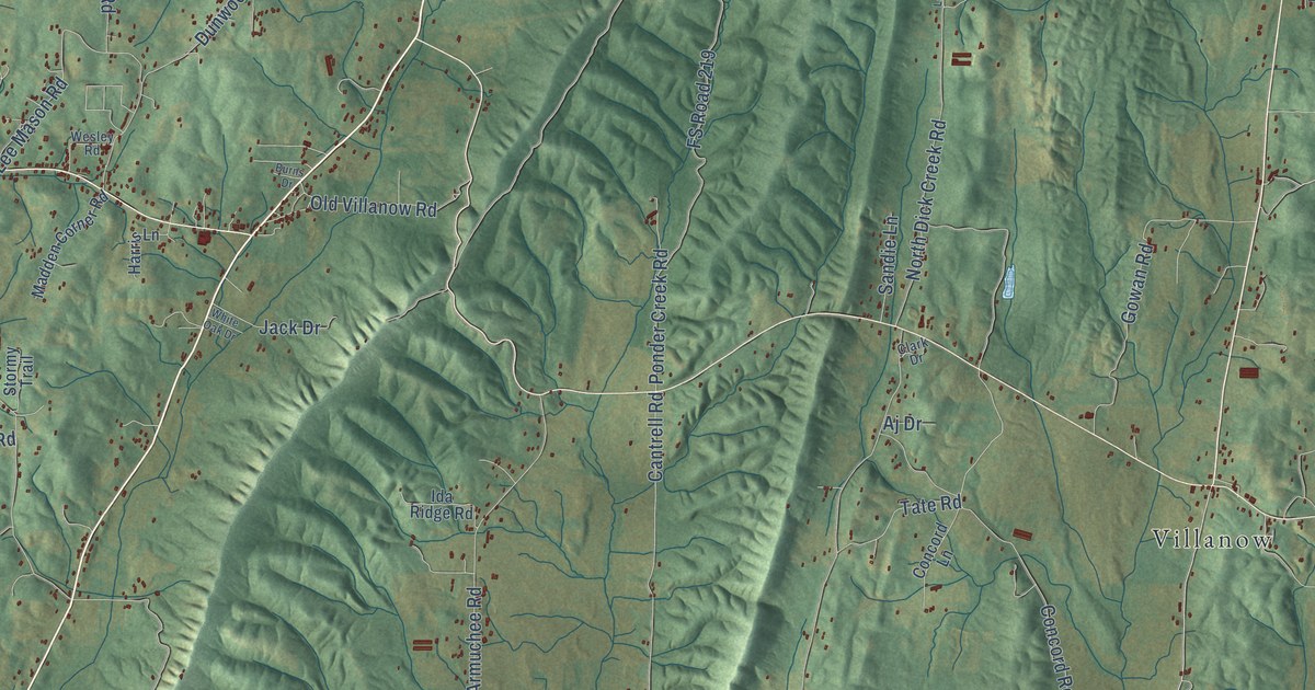
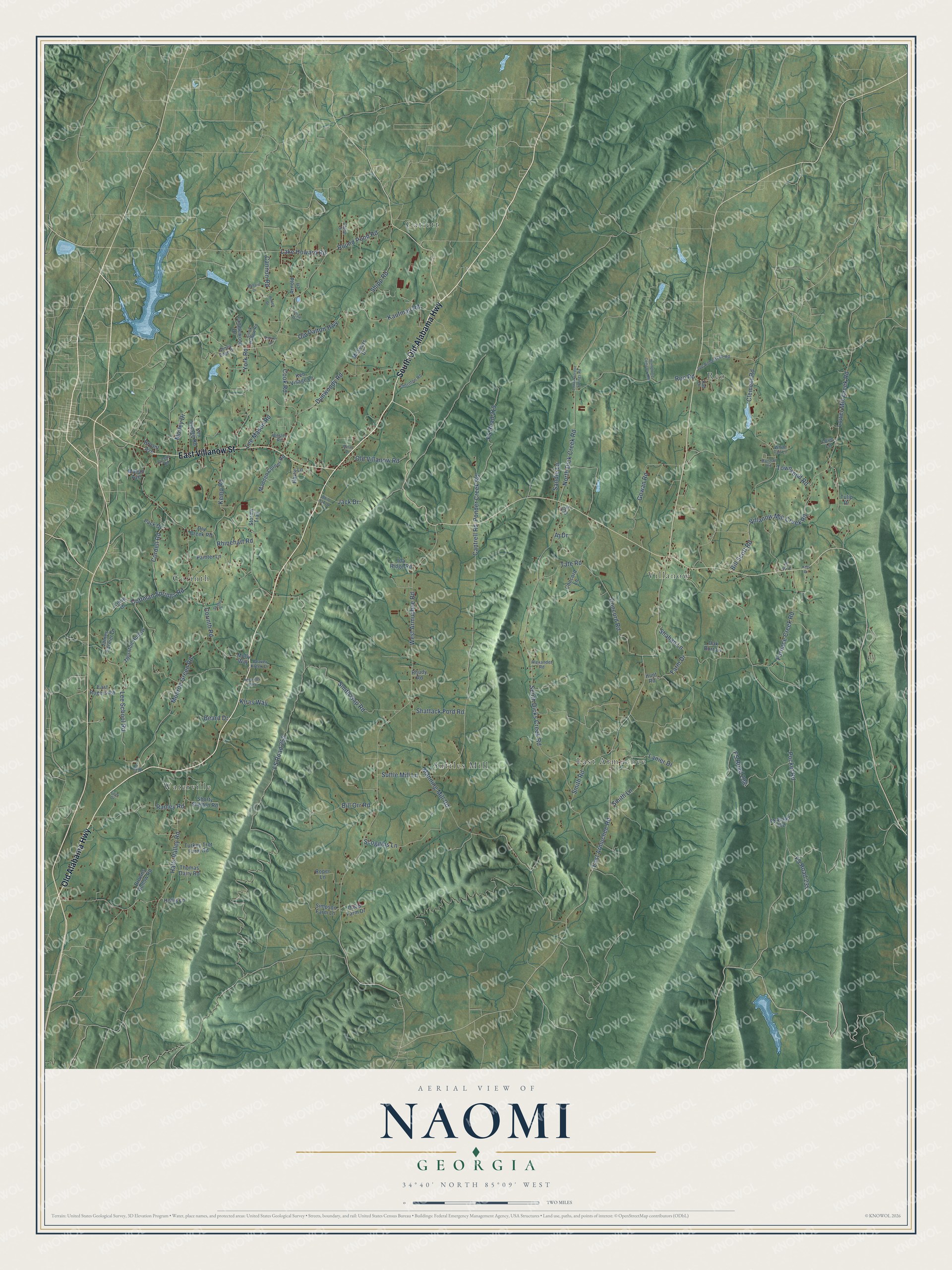
This beautifully detailed map of Naomi, Georgia was created in 2026 using aerial imagery combined with modern topographical, census, street and landmark data. It’s a one-of-a-kind view of Naomi that combines accurate data with a vintage aesthetic. The map shows every building in its true location, many of the roads carry their names, and the shaded topographic relief shows the shape of the land.
Explore an aerial view of Naomi, Georgia
On the map you’ll find Villanow, Waterville, Catlett, East Armuchee, Corinth, Reo, and Suttles Mill, along with South Old Alabama Highway, Old Alabama Highway, East Villanow Street, East Armuchee Road, Round Pond Road, and more. If you look closely you can even find your house accurately drawn in its correct location. Zoom in on the preview to look for yours.
Did You Know?
From Internet Archive: "There he lost his first wife, who was Miss Naomi Lumpkin; she died childless, after a married life of four years."
Naomi is a community in Walker County.
Take a closer look at the Naomi map
Names on this map
These names are printed on this map.
Places: Villanow, Waterville, Catlett, East Armuchee, Corinth, Reo and Suttles Mill.
Streets and roads: South Old Alabama Highway, Old Alabama Highway, East Villanow Street, East Armuchee Road, Round Pond Road, Lower Mill Creek Road, West Armuchee Road, Pocket Road, FS Road 252, South Dicks Creek Road, Manning Mill Road, Cantrell Road.
More street names, A to Z
Abney Edge Drive, Aj Drive, Alexander Road, Arnold Lane, Auburn Drive, Ballard Drive, Beard Drive, Beaver Kreek Drive, Bill Orr Road, Bill Scott Road, Browns Hollow Road, Bryant Avenue, Burns Drive, Cane Road, Cannon Road, Chloe Drive, Cicero Road, Clark Drive, Clement Road, Coffman Springs Road, Concord Lane, Concord Road, Cook Hollow Road, Cook Road, Cordell Road, Corinth Road, Davis Farm Drive, Dry Creek Road, Dunwoody Road, East Rogers Road, Faith Drive, Farm Drive, FS Road 208, FS Road 219, FS Road 231, FS Road 702, Furnace Creek Road, Gowan Road, Hall Drive, Halls Valley Road, Harris Lane, Hollis Lane, Homeltree Cemetery Road, Hunt Road, Ida Ridge Road, Jack Drive, James Farmer Drive, Joe Robertson Road, Kaufman Road, Kemp Road, Ken Visage Lane, Ken Visage Road, Kids Drive, Kiras Way, Lake Howard Road, Lanier Drive, Lee Mason Road, Lee School Road, Levie Drive, Love Lane, Lower Gordon Springs Road, Madden Corner Road, Mahan Avenue, Marshall Road, McSears Drive, Mildreds Way, Molly Way, Monroe Green Road, Motley Drive, North Dick Creek Road, Oak Burr Lane, Old Dalton Highway, Old Villanow Road, Pack Drive, Painter Lane, Ponder Creek Road, Ramey Road, Reo Road, Rhinehart Road, Rhudy Road, Rodeo Drive, Roper Lane, Sandie Lane, Scoggins Lane, Shahan Lane, Shattack Ford Road, Shipp Drive, Shipp Road, Shorty Shelton Road, Simpson Farm Lane, Skates Drive, Smith Gap Road, Smith Lane, Smith Road, Stormy Trail, Suttle Mill Lane, Tanglewood Drive, Tate Road, Thomas Dairy Road, Thornton Hollow, Thornton Road, Townsend Road, Tulip Drive, Turkey Trot Farm Road, Villanow Mill Creek Road, Wells Lane, Wesley Road, White Oak Drive, White Tail Lane, York Road.
See it on a wall
The Naomi map as a framed print. Swipe for more.


This beautifully detailed map of Naomi makes an attractive addition to your office, library, or den, and it can even be used to teach children the geography and history of the area. It also makes a great gift for anyone who grew up in Naomi or moved away. When you’re done exploring, click here to get your copy of the Naomi map.