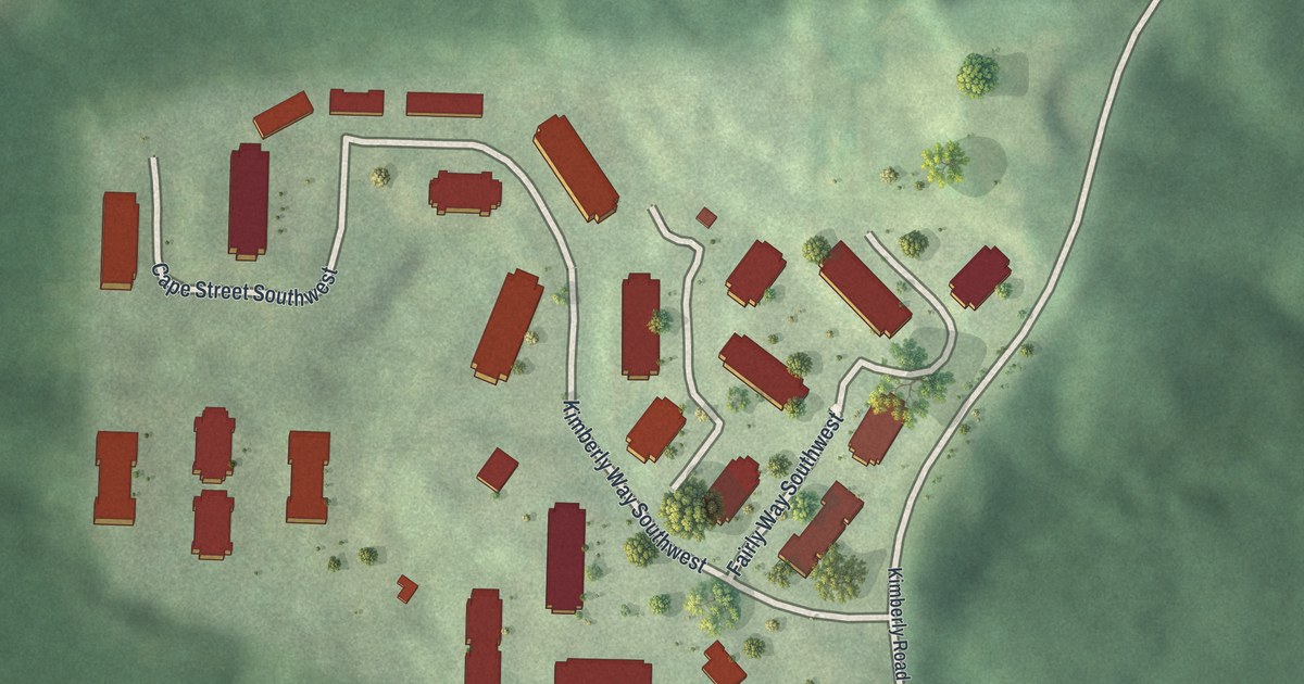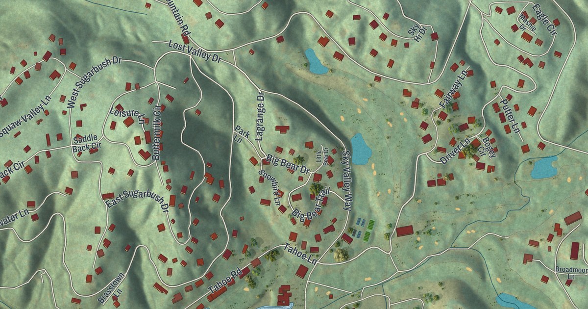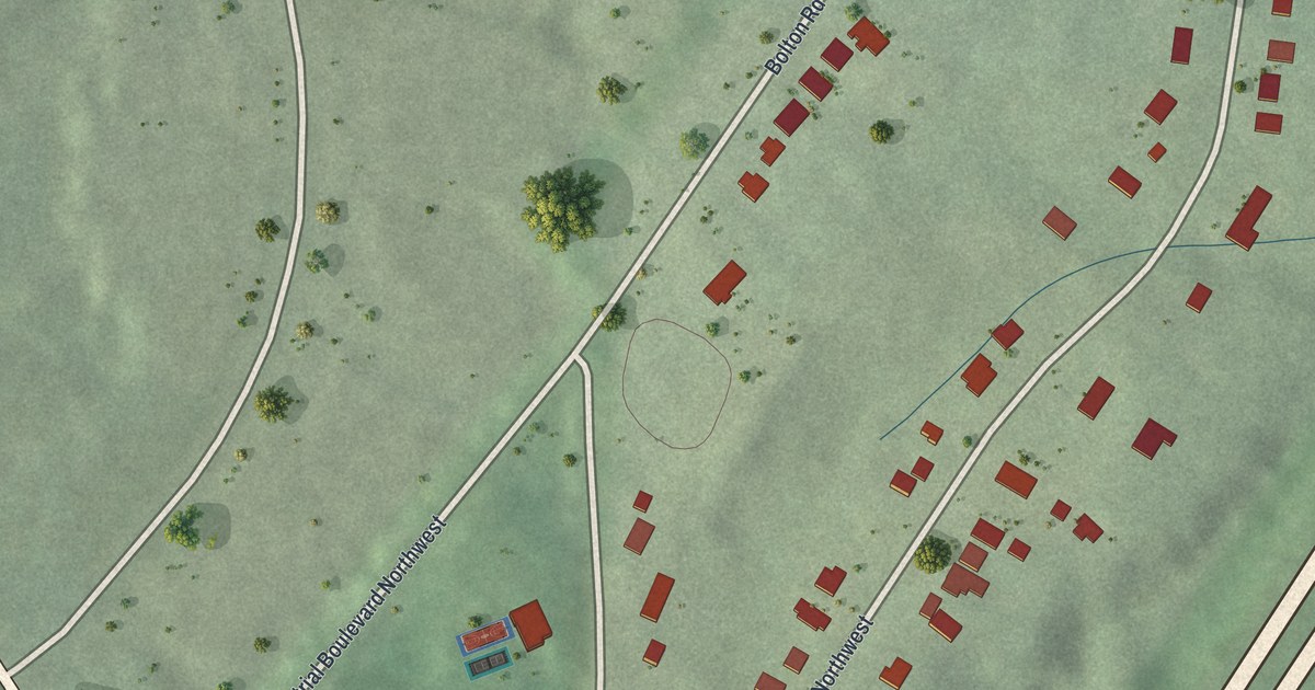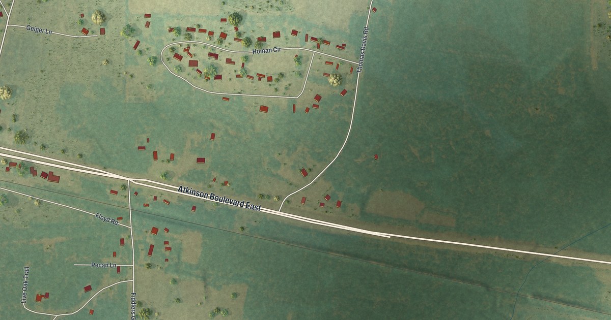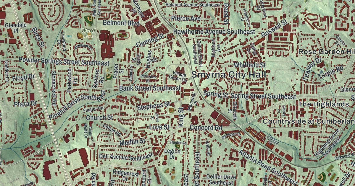
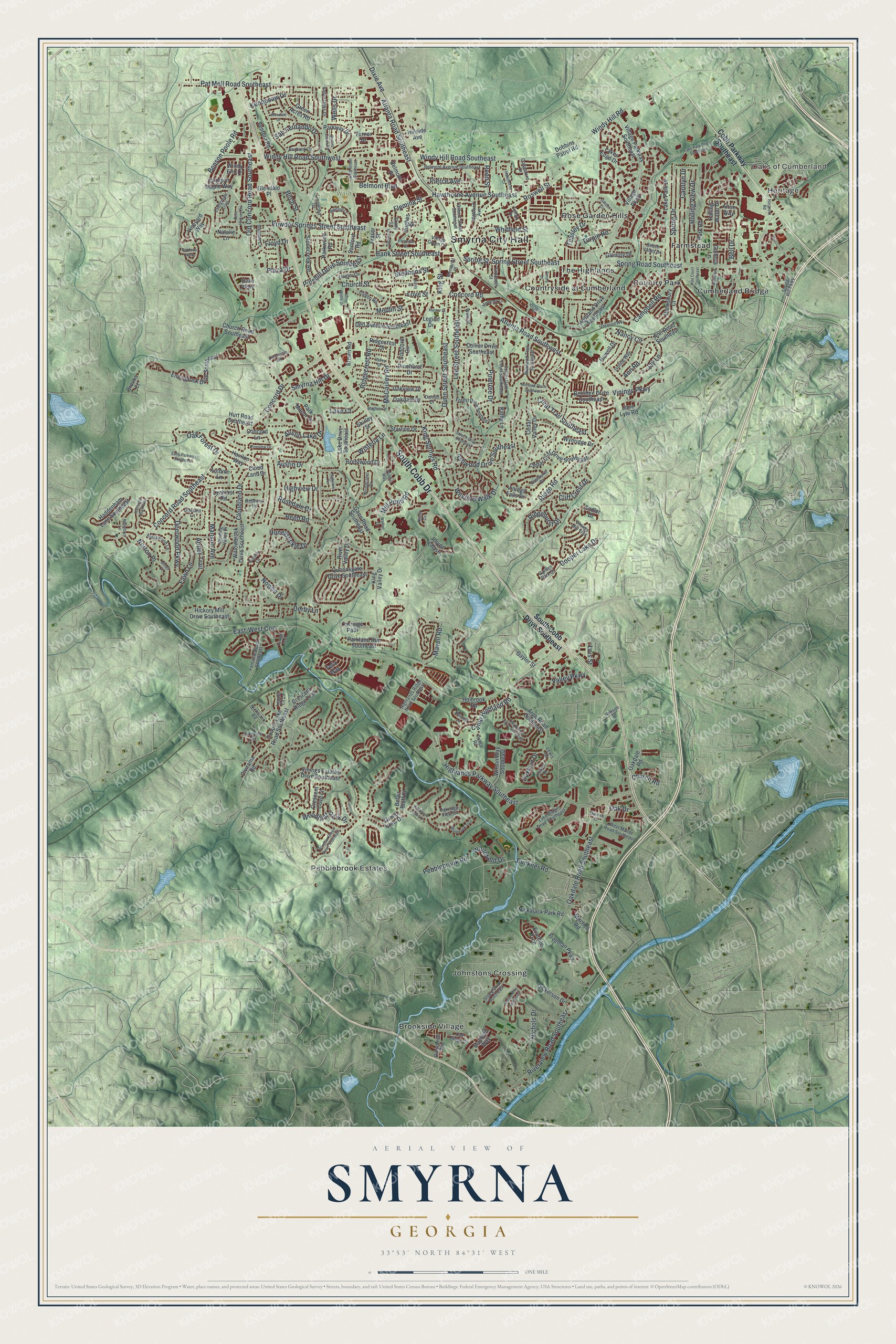
This beautifully detailed map of Smyrna, Georgia was created in 2026 using aerial imagery combined with modern topographical, census, street and landmark data. It’s a one-of-a-kind view of Smyrna that combines accurate data with a vintage aesthetic. The map shows every building in its true location, many of the roads carry their names, and the shaded topographic relief shows the shape of the land.
Explore an aerial view of Smyrna, Georgia
On the map you’ll find Smyrna City Hall, East-West Con, Oaks of Cumberland, Heritage, Brookside Village, Country Park, Countryside at Cumberland, Tolleson Park, and Ward Park, along with Cobb Drive, Cobb Parkway, South Cobb Drive, and more. If you look closely you can even find your house accurately drawn in its correct location. Zoom in on the preview to look for yours.
Did You Know?
Pioneers first settled here in 1832. By the late 1830s, a religious camp called Smyrna Camp Ground drew visitors from all over Georgia. Its name came from the Biblical city of Smyrna, home of the Christian martyr Polycarp. The town went by several other names before it was incorporated as Smyrna in 1872.
Take a closer look at the Smyrna map
Names on this map
These names are printed on this map.
Places: Smyrna City Hall, Oaks of Cumberland, Heritage, Tolleson Park, Ward Park, Brookside Village, Country Park, Countryside at Cumberland, Cumberland Bridge, Farmstead, Johnstons Crossing, Pebblebrook Estates, Rose Garden Hills and The Highlands.
Streets and roads: South Cobb Drive, East-West Con, Spring Road Southeast, Spring Street Southeast, Concord Road, Concord Road Southeast, Teasley Drive, Whitefield Drive, Birch Street, Turpin Road, Highlands Parkway Southeast, Atlanta Road Southeast.
More street names, A to Z
Adderbury Lane, Afton Way, Aline Wolfe Drive, Ann Road, Ann Road Southeast, Antler Trail, Argo Road Southeast, Ashwood Drive Southeast, Atlanta Road Southwest, Austin Drive, Austin Lake Drive, Autumn Lane, Bank Street Southeast, Beaver Creek Road, Beech Valley Drive, Belair Bluff Court, Bell Drive, Belmont Avenue Southeast, Belmont Boulevard, Belmont Place, Belridge Drive Southeast, Benell Court, Benson Poole Road, Bent Hickory Drive, Bordeau Walk, Brentwood Drive, Brooks Court, Brown Road, Buckner Road, Burbank Drive, Campbell Road, Camp Highland Road, Carolyn Drive, Carriage Path, Cedar Cliff Drive Southeast, Cedar Valley Drive, Church Road, Church Road Southeast, Church Street, Civitania Road, Clay Brooke Drive Southeast, Cliff Crest Drive, Clifton Road, Cloudland Drive, Cloud Land Drive, Cobb Parkway Southeast, Collier Drive Southeast, Collier Gate Court Southeast, Concord Circle, Concord Drive, Concord Lane, Cooper Lake Drive, Cooper Lake Road Southeast, Cottesford Drive, Creat Trail Southeast, Crescent Cove Lane, Crescent Ridge Trail, Crescentry Brk, Crimson Maple Way, Daniell Drive, Davis Street, Deerwood Parkway, Dell Avenue Southeast, Derby Lane, Dickerson Drive, Dixie Avenue, Dobbins Patrol Road, Doeskin Lane, Drewsbury Court, Dunn Street Southeast, Duxford Drive, Early Parkway Southeast, Elizabeth Street, Emory Lane, Ennisbrook Drive Southeast, Evadale Trce, Evergreen Trail, Falling Water Drive, Fawn Lane, Felix Way, Flagler Circle, Fleming Street, Floyd Drive, Fontaine Road Southeast, Forest Drive Southeast, Fraser Street, Freeman Parkway, Galleria Lane, Gann Road Southeast, Garden Park Drive, Gaylor Street, Gilbert Street Southeast, Glendale Place, Glenhurst Drive, Glenroy Drive, Gordon Circle, Grady Street, Grand View Drive, Green Acres Road, Guthrie Street, Haddenham Lane Southeast, Hanson Drive, Hargrove Road, Harmony Walk Way, Havilon Way, Hawthorne Avenue Southeast, Hawthorne Court, Healey Drive, Hickory Mill Drive Southeast, Highland Avenue, Highland Drive Southeast, Highlands Ridge Road Southeast, Highview Drive, Highview Terrace, Hillside Avenue, Holbrook Road, Honeysuckle Drive, Hornell Lane, Howell Drive, Hughes Street, Hunter Street, Hurt Road Southeast, Isoline Way, Ivanhoe Lane, Jane Lyle Road, Jay Lane, Jonquil Drive, Justine Way Southeast, Kathy Lane, Kennesaw Drive, King Springs Road, King Street, King Valley Drive, Koa Court Southeast, Lake Court, Lake Drive Southeast, Lake Park Drive, Lake Park Drive Southeast, Lake Ridge Drive Southeast, Lakes Edge Drive, Lakeview Terrace, Lee Street Southeast, Legacy Cv Lane, Legion Drive, Lewis Drive, Linnwood Drive, Lois Street, Love Street, Lynhurst Road, Magbee Drive, Manson Avenue, Mavell Road, Mayfield Way, McCauley Road, Medlin Street, Memorial Place, Mill Pond Road, Millwood Trail Southeast, Mitchell Road, Mohawk Place Southeast, Montclair Court, Mosswood Lane, Nancy Circle, Natalie Lane, Nichols Drive, Nickajack Park Road, Nickajack Road, Norton Place, Nowlin Drive, Oakdale Court, Oakdale Drive, Oakdale Road, Oakdale Road Southeast, Oak Drive, Oak Forest Drive, Oak Ridge Court, Oakridge View Drive, Oaks Parkway, Oakview Drive, Oakwood Way, Old Concord Road Southeast, Parkland Run Southeast, Park Manor Drive, Park Road, Parkview Place, Parkway Drive, Parkwood Oaks Lane, Parkwood Road, Pat Mell Road Southeast, Pebblebrook Road, Pierce Avenue, Pinehill Drive Southeast, Pinehurst Drive, Pinetree Drive, Pineview Drive, Plaza Drive, Powder Springs Street Southeast, Prince Road, Queensgate Drive Southeast, Rebecca Lane, Reed Road, Reed Street, Rhyne Chase, Rhyne Circle, Ridgebend Way, Ridgecrest Drive, Ridgecrest Road, Ridgehurst Drive, Ridge Road, River Valley Drive, Riverview Road Southeast, Rolling View Drive, Rosedale Drive, Roswell Street, Sadler Drive, San Fernando Drive, Sanford Road, Sharp Drive Southeast, Shirley Street, Smyrna Hill Drive, Sophia Lane, South Cobb Drive Southeast, Spring Drive, Spring Hill Parkway, Spring Street, Spruce Drive Southeast, Starline Drive, Stephens Street, Stonecreek Road, Telfair Drive, Tululah Trail, Turner Drive, Valley Drive, Valley Oaks Drive, Valley Parkway, Ventura Road, Village Green Circle, Village Parkway, Village Parkway Southeast, Vineyard Way, Vinings Estates Drive Southeast, Vinings Falls Drive, Vinings Mill Trail, Vinings Parkway, Walton Lane, Walton Way, Ward Street Southeast, Wayland Court, Wells Drive, West Maner Road Southeast, Wexford Walk Drive, Whitfield Street, Willowbrook Drive Southeast, Wills Street, Wilson Way Southeast, Winding Valley Drive, Windsor Green Court Southeast, Windy Elm Drive, Windy Hill Road, Windy Hill Road Southeast, Windy Hill Road Southwest, Wisteria Lane, Woodale Drive, Woodcrest Drive, Woodleaf Park Drive, Woodruff Drive, Wynbrook Trce, Wynridge Drive.
See it on a wall
The Smyrna map as a framed print. Swipe for more.


This beautifully detailed map of Smyrna makes an attractive addition to your office, library, or den, and it can even be used to teach children the geography and history of the area. It also makes a great gift for anyone with Smyrna roots. When you’re done exploring, click here to get your copy of the Smyrna map.