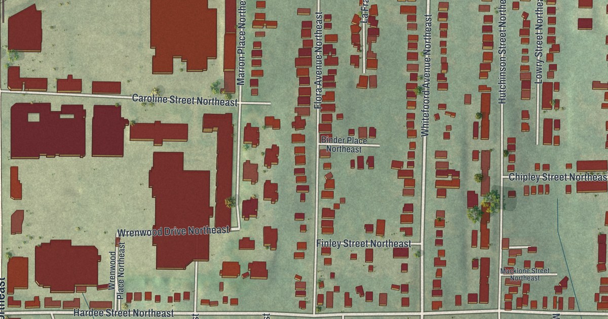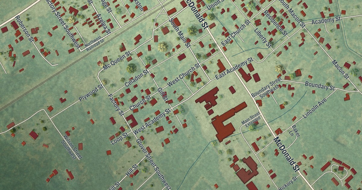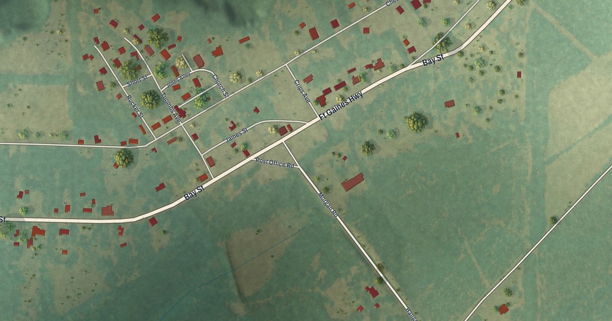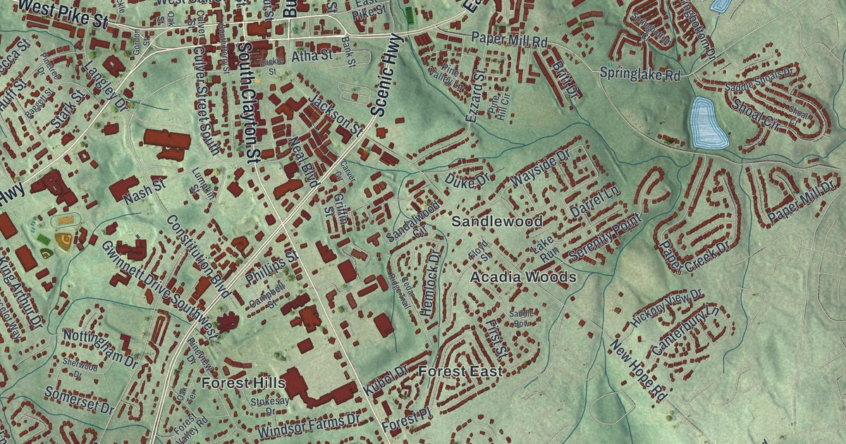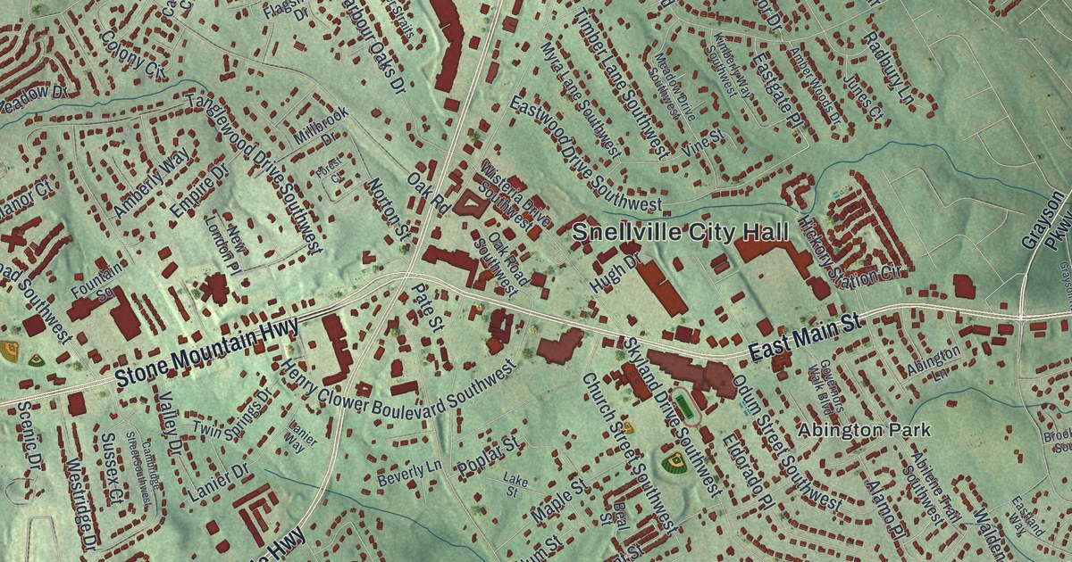
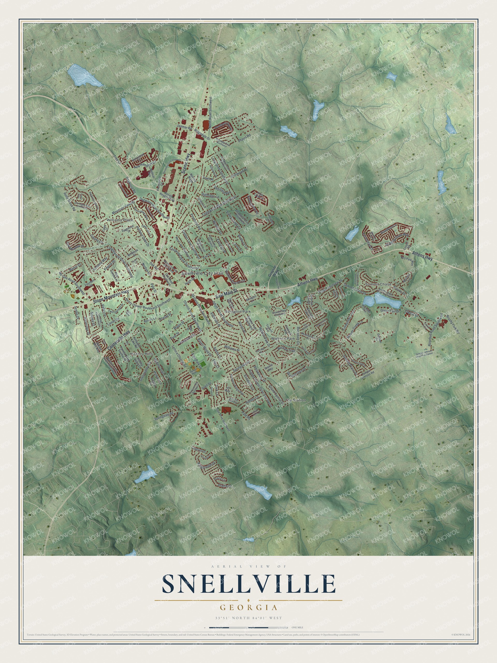
This beautifully detailed map of Snellville, Georgia was created in 2026 using aerial imagery combined with modern topographical, census, street and landmark data. It’s a one-of-a-kind view of Snellville that combines accurate data with a vintage aesthetic. The map shows every building in its true location, many of the roads carry their names, and the shaded topographic relief shows the shape of the land.
Explore an aerial view of Snellville, Georgia
On the map you’ll find Snellville City Hall, Abington Park, Hickory Hills, The Station, Walkers Park, and Williams Place, along with Scenic Highway, Athens Highway, Main Street, Stone Mountain Highway, and more. If you look closely you can even find your house accurately drawn in its correct location. Zoom in on the preview to look for yours.
Did You Know?
Snellville was founded by two young friends from London, Thomas Snell and James Sawyer. They had worked in a London store, and in Georgia they opened Snell and Sawyer’s Store. The settlement had been called New London, but their advertising called it Snellville. Sawyer opened the first post office there in 1885.
Take a closer look at the Snellville map
Names on this map
These names are printed on this map.
Places: Snellville City Hall, Abington Park, Hickory Hills, Summit Chase, The Station, Walkers Park and Williams Place.
Streets and roads: Scenic Highway, Athens Highway, East Main Street, Stone Mountain Highway, Centerville Highway, North Road Southwest, Lenora Church Road, Rockdale Circle, Skyland Drive Southwest, Pinehurst Road, Tree Lane, Oak Road.
More street names, A to Z
Abilene Trail Southwest, Abington Lane, Adella Court, Alamo Place, Alta Ridge Way, Amberly Way, Amber Woods Drive, Ashworth Lake Road, Beal Street, Beaver Creek Lane, Bennett Ridge, Ben Park Way, Beverly Lane, Britt Street, Brookhill Way Southwest, Brooks Drive, Brushy Fork Road, Buckley Trail, Cambridge Street Southwest, Cates Court, Chaparral Drive Southwest, Church Street Southwest, Classic Drive, Clipper Straits, Collinswood Drive, Colony Circle, Cooper Road, Creekwood Drive Southwest, Crimson Creek Lane, Deerfield Run, Dogwood Road, Dogwood Road Southwest, Driftwood Place, Eastgate Place, Eastland Way, East Park Drive, Eastwood Drive Southwest, Eldorado Place, Elizabeth Lane, Ellis Court, Emerson Lake Circle, Emerson Lake Drive, Empire Drive, Englewood Way Southwest, Farmstead Court, Flagsmoor Drive, Flintrock Way, Forest Court, Fountain Square, Freemont Street, Garmon Drive, Glenhurst Drive, Governors Walk Boulevard, Grand Central Drive, Grayson Parkway, Green Turf Drive, Greenvalley Road, Hampton Ridge Way, Harbour Oaks Drive, Hartridge Drive, Hawthorn Lane, Hempstead Court, Henry Clower Boulevard Southwest, Hickory Circle, Hickory Lake Drive, Hickory Lane, Hickory Station Circle, Hickory Trail, Hickory Valley Drive, Hidden Forest Drive Southwest, Hidden Lane, Highriggs Lane, Hillsway Drive, Holly Brook Road, Holly Lake Cv, Hugh Drive, Ivy Way, Janmar Road, Junes Court, Kenilworth Court, Kimberly Way Southwest, Kingstream Drive, Knob Creek Drive, Knob Creek Road, Lake Street, Lanier Drive, Lanier Way, Laurel Way Southwest, Longfield Drive, Long Street Southwest, Manor Court, Maple Street, Masters Lane, Mc Gee Road Southwest, Meadowchase Court, Meadow Drive Southwest, Meadowsweet Trail, Meadow Trace Drive, Medical Way, Millbrook Drive, Mountain View Road, Myra Lane Southwest, New Hampton Drive, New London Place, Newtons Crest Circle Southwest, Norton Street, Oak Meadow Drive, Oak Road Southwest, Odum Street Southwest, Old Grayson Road, Pamela Drive Southwest, Park Lane, Parkside Way Southwest, Pate Drive Southwest, Pate Road, Pate Street, Pennistone Way, Periwinkle Drive, Pharrs Road, Pierce Circle, Plum Street, Pond Ridge Trail, Poplar Street, Prairie Drive, Prairie Lane, Presidential Circle, Presidential Circle Southwest, Radbury Lane, Raven Wood Drive, Ridgedale Drive, Ridgedale Drive Southwest, Riverbend Drive, Ronald Reagan Parkway, Rosebud Road Southwest, Sawyer Parkway, Scenic Drive, Skyland Glen Drive, Skylars Mill Way, Snell Drive, Sonya Lane, South Crestview Drive, Springdale Drive, Springdale Road, Starlite Way, Stockton Walk Lane, Stonegate Way Southwest, Summit Chase Drive, Summit Chase Drive Southwest, Summit Glen Drive, Summit Place Drive, Summit Turf Lane, Summit View Court, Sussex Court, Tanglewood Drive Southwest, Temple Johnson Road, Temple Johnson Road Southwest, Timber Lane Southwest, Timberline Trce, Town Place, Tree Brooke Lane, Tuftstown Court, Twin Springs Drive, Valley Creek Circle, Valley Drive, Vine Street, Walden Park Drive, Westridge Drive, Windburn Court Southwest, Winding Down Way, Windsor Drive, Wisteria Drive Southwest, Woodberry Run Drive.
See it on a wall
The Snellville map as a framed print. Swipe for more.


This beautifully detailed map of Snellville makes an attractive addition to your office, library, or den, and it can even be used to teach children the geography and history of the area. It also makes a great gift for anyone with Snellville roots. When you’re done exploring, click here to get your copy of the Snellville map.